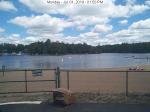
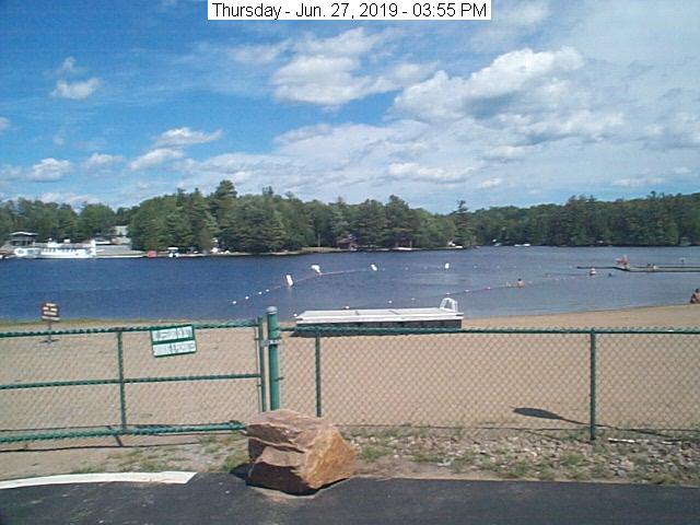
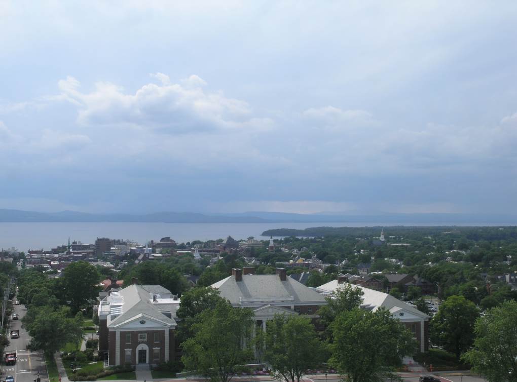
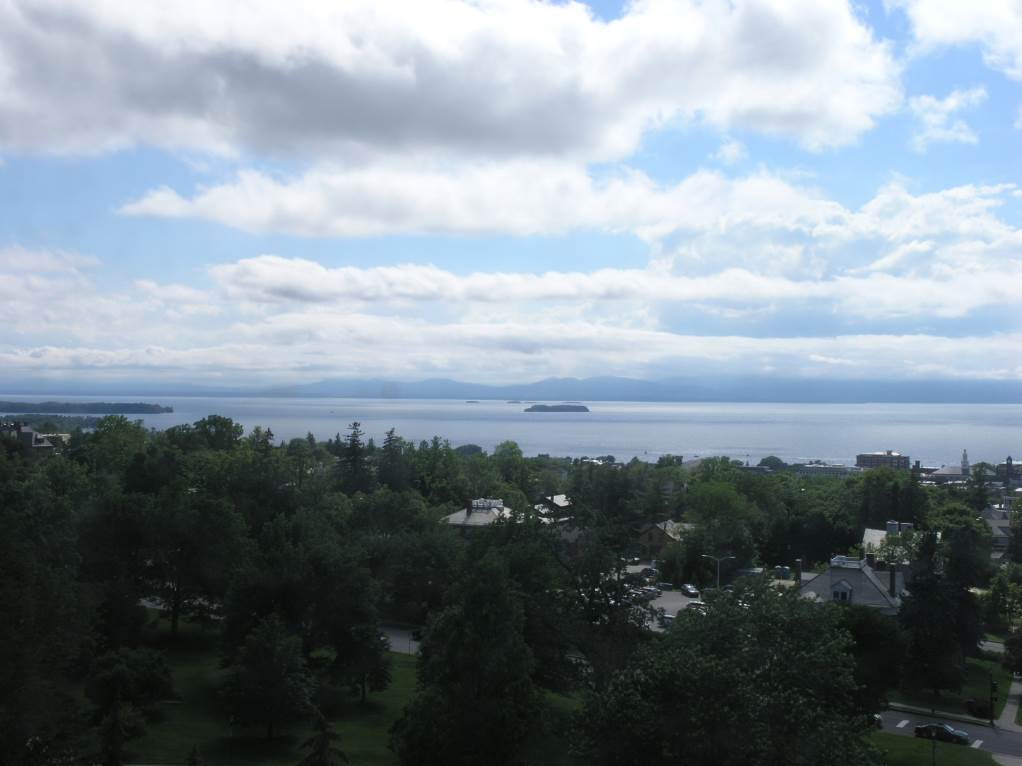
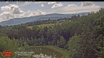
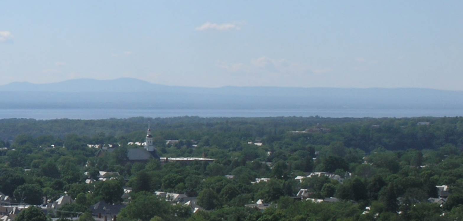
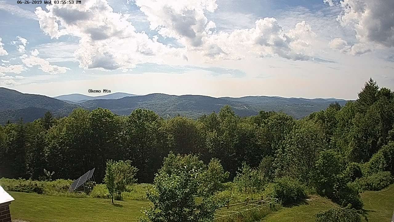
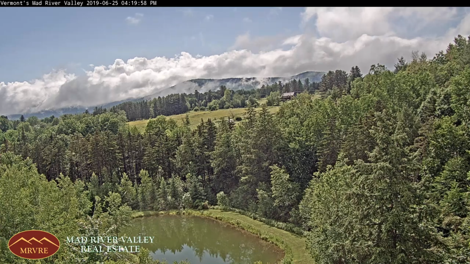
Updated Monday Evening Forecast — July 1st, 2019

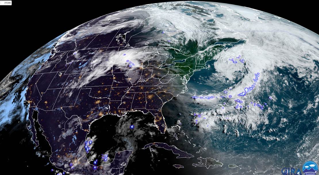
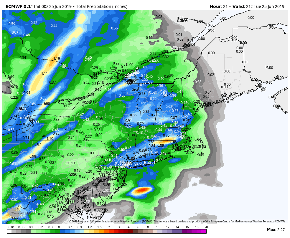
TONIGHT: Nice this evening then partly to mostly cloudy. An isolated shower toward morning. A low upper 50s to near 60. Light winds.

TOMORROW: Morning clouds then partly sunny and a bit muggier. Isolated brief showers northern areas early. A high 75 to 80. Northwest breeze 10 mph.

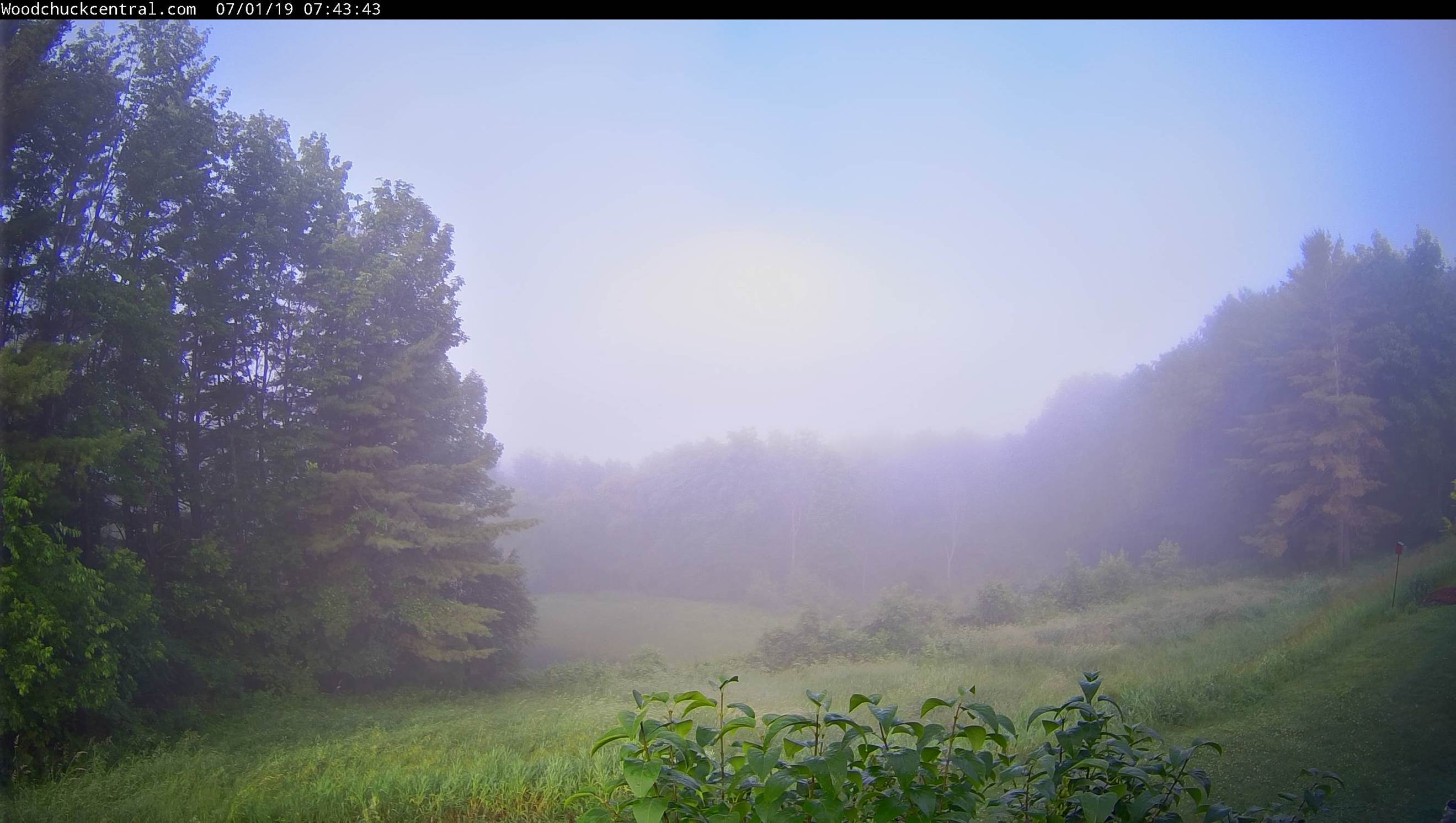
TUESDAY NIGHT: Clear & starlit skies. Patchy valley fog. A low upper 50s to near 60. Light winds.

WEDNESDAY: Partly to mostly sunny. A high upper 70s to mid 80s. Northwest breeze 10 mph.

Looking further ahead…

WEDNESDAY NIGHT: Mostly clear. A low 55 to 60

THURSDAY 4TH OF JULY: Lots of sunshine with a few high clouds. A high around 85.

FRIDAY: Variable high clouds. Muggy. Chance for evening showers and thunderstorms. A low 60 to 65. A high mid 80s to upper 80s.

SATURDAY: Morning showers and storms…then increasing sunshine. Sultry with a low mid 60s to near 70. A high around 80 less humid later on.

Average lows 55 to 60. Average highs upper 70s to low 80s.

Warmest90 days of meteorological summer peaks July 22nd…

RH/7-1-19[end]

Updated Monday morning Forecast — July 1st, 2019

TODAY: Morning fig burns off to lots of sunshine. Partly sunny this afternoon. A high upper 70s to low 80s. Northwest winds 10 mph.

TONIGHT: Partly to mostly cloudy. Maybe an isolated shower or a thunderstorm toward morning. A low upper 50s to near 60. Light northwest winds.

TUESDAY: Partly sunny. Slight chance for a brief shower. A high mid 70s to around 80. Northwest breeze 10 mph.

Looking further ahead…

TUESDAY NIGHT: Mostly clear. A low upper 50s to near 60.

WEDNESDAY: Partly to mostly sunny. A high upper 70s to mid 80s.

THURSDAY 4TH OF JULY: Lots of sunshine with a few high clouds. A low 55 to 60. A high around 85.

FRIDAY: Variable high clouds. Muggy. A low 60 to 65. A high mid 80s to near 90.

Average lows 55 to 60. Average highs upper 70s to low 80s.

Warmest90 days of meteorological summer peaks July 22nd…

RH/7-1-19[end]

Updated Friday Evening forecast — June 28th, 2019

TONIGHT: Scattered showers developing this evening, a slight chance for a rumble of thunder, otherwise mostly cloudy. A low 60 to 65. Light south winds.

TOMORROW: Lots of clouds with a few breaks of sun. A round or two of showers and scattered thunderstorms. A high in the mid to upper 70s. Winds becoming westerly 10 mph in the afternoon.

SATURDAY NIGHT: Partly to mostly cloudy. Widely scattered showers and thunderstorms winding down mainly northern areas. A low mid to upper 50s. Light northwest winds.

SUNDAY: Partly to mostly cloudy, cooler and less humid. Showers likely…a chance for thunderstorms. A high 65 to 70. Northwest breeze 10 to 15 mph.

Looking further ahead…

SUNDAY NIGHT: Mostly clear. Patchy valley fog. A low mid to upper 50s.

MONDAY: Sunshine mixing more clouds in the afternoon. A high 75 to 80.

TUESDAY: Partly sunny. Isolated showers Northeast Kingdom. A low 55 to 60. A high mid to upper 70s.

WEDNESDAY: Sunny and gorgeous. A low mid to upper 50s. A high mid 70s to around 80.

THURSDAY 4TH OF JULY: Lots of sunshine with a few high clouds. A low 55 to 60. A high around 85.

Average lows 55 to 60. Average highs 75 to 80.

RH/6-28-19[end]

Updated Friday Morning Forecast — June 28th, 2019

TODAY: Partly to mostly sunny this morning and few more clouds this afternoon. Warm and muggy. An isolated shower or thunderstorm possible. A high in the lower 80s. West breeze 10 mph.

TONIGHT: Scattered showers developing this evening, a slight chance for a rumble of thunder, otherwise mostly cloudy. A low around 60. Light southeast winds.

SATURDAY: Lots of clouds with a few breaks of sun. A round or two of showers and scattered thunderstorms. A high in the mid 70s. Winds becoming westerly 10 to 15 mph.

Looking further ahead…

SATURDAY NIGHT: Partly cloudy. Widely scattered showers and thunderstorms winding down mainly northern areas. A low upper 50s.

SUNDAY: Partly to mostly cloudy cooler and less humid. Showers likely…a chance for thunderstorms. A high 65 to 70.

MONDAY: Partly to mostly sunny and comfortable. A low 50 to 55. A high 75 to 80.

TUESDAY: Variably cloudy. Widely scattered showers and thunderstorms. A low 55 to 60. A high around 75.

WEDNESDAY: Partly to mostly sunny. A low in the 50s. A high around 80.

OUTLOOK for the 4th: Partly to mostly sunny. A high in the low to mid 80s.

Average lows 55 to 60. Average highs 75 to 80.

RH/6-28-19[end]

Updated Thursday Evening Forecast — June 27th, 2019

TONIGHT: Isolated evening shower or thunderstorm near the Canadian border. Otherwise mostly clear. Patchy valley fog. A low mid to upper 50s. Light southwest winds.

TOMORROW: Mixed sun and clouds warm and muggy. An isolated shower or thunderstorms toward the Northeast Kingdom. A high 80 to 85. West breeze 10 mph.

FRIDAY NIGHT: Slight chance for a shower or thunderstorm northern tier, otherwise variably cloudy. A low around 60. Light southeast winds.

SATURDAY: Lots of clouds with a few breaks of sun. Scattered showers especially in the morning, maybe a rumble of thunder. A high 75 to 80. Winds becoming westerly 10 to 15 mph.

Looking further ahead…

SATURDAY NIGHT: Partly cloudy. Good chance for showers and thunderstorms arriving mainly after midnight. A low upper 50s.

SUNDAY: Mostly cloudy. A good chance for showers and thunderstorms. A high upper 60s to around 70.

MONDAY: Partly sunny and comfortable. A low 50 to 55. A high around 75.

TUESDAY: Morning sunshine gives way to more clouds. A rising chance for showers and thunderstorms. A low 55 to 60. A high around 75.

Average lows 55 to 60. Average highs 75 to 80.

RH/6-26-19[end]

Updated Thursday Morning Forecast — June 27th, 2019

TODAY: Morning fog burns off to lots of sunshine. An isolated afternoon pop-up shower or thunderstorm near the Canadian border. A little muggy. A high around 80. West breeze 10 mph.

TONIGHT: Partly cloudy. Isolated evening shower or thunderstorm near the Canadian border. Patchy valley fog. A low mid to upper 50s. Light southwest winds.

FRIDAY: Mixed sun and clouds warm and muggy. Isolated afternoon showers and thunderstorms. A high 80 to 85. West to northwest breeze 10 mph.

Looking further ahead…

FRIDAY NIGHT: Slight chance for a shower or thunderstorm early, otherwise partly cloudy. A low around 60.

SATURDAY: Mostly cloudy. Good chance for showers and mainly afternoon thunderstorms. A high 75 to 80.

SUNDAY: Clouds with intervals of sunshine. A good chance for showers and thunderstorms. A low upper 50s. A high upper 60s to around 70.

MONDAY: Partly to mostly sunny and comfortable. A low 50 to 55. A high around 75.

TUESDAY: Morning sunshine gives way to more clouds. A rising chance for showers and thunderstorms. A low 55 to 60. A high around 75.

Average lows 55 to 60. Average highs 75 to 80.

RH/6-26-19[end]

Updated Wednesday Evening Forecast — June 26th, 2019

TONIGHT: Partly cloudy & muggy. Isolated to widely scattered showers and thunderstorms mainly northern areas this evening. A low upper 50s to low 60s. Light southwest winds.

TOMORROW: Partly sunny. An isolated pop-up shower or thunderstorm near the Canadian border. A little muggy. A high around 80. West breeze 10 mph.

THURSDAY NIGHT: Partly cloudy. Scattered evening showers and thunderstorms northern areas. Patchy valley fog. A low mid to upper 50s. Light southwest winds.

FRIDAY: Mixed sun and clouds warm and muggy. Isolated afternoon showers and thunderstorms. A high 80 to 85. West to northwest breeze 10 mph.

Looking further ahead…

FRIDAY NIGHT: Slight chance for a shower or thunderstorms in the evening, otherwise partly cloudy. A low around 60.

SATURDAY: Partly to mostly cloudy skies. Good chance for showers and mainly afternoon thunderstorms. A high 75 to 80.

SUNDAY: Clouds with intervals of sunshine. A good chance for showers and thunderstorms. A low upper 50s. A high upper 60s to around 70.

MONDAY: Partly to mostly sunny and comfortable. A low 50 to 55. A high around 75.

Average lows 55 to 60. Average highs in the mid to upper 70s.

RH/6-25-19[end]

Updated Wednesday morning Forecast — June 26th, 2019

TODAY: Morning fog burns off to more sunshine than clouds. Warm and muggy. A high 80 to 85. Light southwest winds.

TONIGHT: Partly cloudy & muggy. Isolated to widely scattered showers and thunderstorms northern areas this evening A low upper 50s to low 60s. Light south winds.

THURSDAY: Partly sunny. An isolated pop-up shower or thunderstorm near the Canadian border. A little muggy. A high around 80. Light west winds.

Looking further ahead…

THURSDAY NIGHT: Partly cloudy. Scattered evening showers and thunderstorms northern areas. A low mid 50s to near 60.

FRIDAY: Mixed sun and clouds warm and muggy. Isolated afternoon showers and thunderstorms. A high 80 to 85.

SATURDAY: Partly to mostly cloudy skies. Good chance for showers and mainly afternoon thunderstorms. A low upper 50s to around 60. A high 75 to 80.

SUNDAY: Clouds with intervals of sunshine. A good chance for showers and thunderstorms. A low mid to upper 50s. A high upper 60s to near 70.

Average lows 55 to 60. Average highs in the mid to upper 70s.

RH/6-25-19[end]

Updated Tuesday Evening Forecast — June 25th, 2019

TONIGHT: Isolated leftover showers early dry up, otherwise partly cloudy. A low upper 50s to near 60. Light south winds.

TOMORROW: More sunshine than clouds. Warmer and muggy. A high 80 to 85. Light southwest winds.

WEDNESDAY NIGHT: Partly cloudy & muggy. Isolated to widely scattered showers and thunderstorms northern areas. A low upper 50s to around 60. Light south winds.

THURSDAY: Partly sunny. Isolated showers and thunderstorms northern areas. A little muggy. A high around 80. Light west winds.

Looking further ahead…

THURSDAY NIGHT: Partly cloudy. Scattered evening showers and thunderstorms northern areas. A low near 60.

FRIDAY: Mixed sun and clouds. Isolated afternoon showers and thunderstorms northern areas.. A high in the lower 80s.

SATURDAY: Partly to mostly cloudy skies. Chance for showers and mainly afternoon thunderstorms. A low upper 50s to around 60. A high upper 70s to near 80.

Average lows 55 to 60. Average highs in the mid to upper 70s.

RH/6-25-19[end]

Updated Tuesday Morning Forecast — June 25th, 2019

TODAY: Increasing clouds and becoming more humid. A period of rain or showers late morning on. A few rumbles of thunder western Vermont. Partial clearing develops late. A high upper 60s to around 70. Southeast breeze 10 to 15 mph.

TONIGHT: Isolated leftover showers early. Otherwise…partly cloudy. A low upper 50s to around 60. Light south winds.

WEDNESDAY: More sunshine than clouds. Slight chance for a late day shower or thunderstorm. Warmer and a little muggy. A high 80 to 85. Light southwest winds.

Looking further ahead…

WEDNESDAY NIGHT: Partly cloudy & a bit muggy. A rising chance for showers and thunderstorms develops early to mid-evening. A low upper 50s to around 60.

THURSDAY: Partly sunny. Widely scattered late day showers and thunderstorms northern areas. A little muggy. A high around 80.

FRIDAY: Mixed sun and clouds. Slight chance for afternoon showers and thunderstorms northern areas. A low near 60. A high near 80.

SATURDAY: Morning sun then mostly cloudy. Chance for showers and thunderstorms. A low upper 50s to around 60. A high mid to upper 70s.

Average lows 55 to 60. Average highs in the mid to upper 70s.

RH/6-25-19[end]