Updated Tuesday Evening Forecast — September 10th, 2019

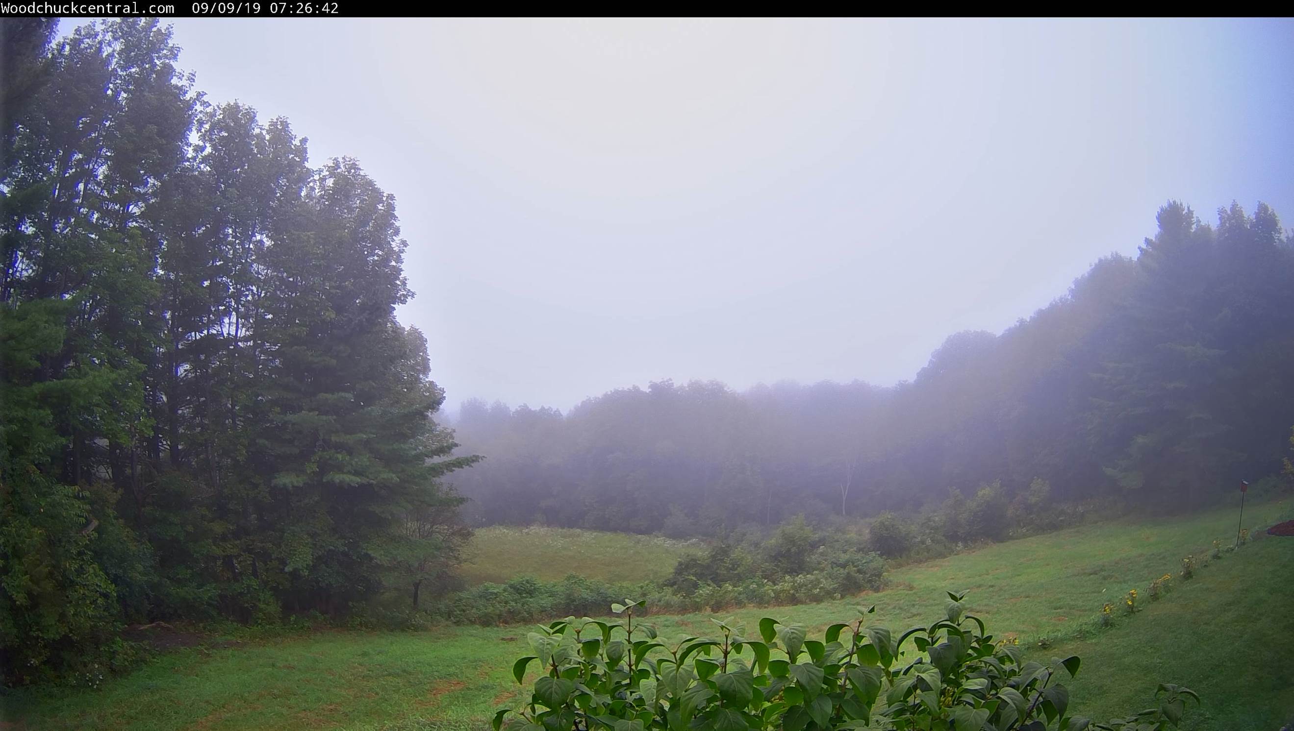
TONIGHT: Cloudy and becoming damp. Widely scattered rain showers arriving northern areas this evening. Showers and a slight chance for a thunderstorm overnight. Areas of fog. Mild with a low around 60. South breeze 10 to 15 mph.

TOMORROW: Clouds mixed with sunny intervals. Muggy and breezy at times. Scattered showers and a chance for afternoon thunderstorms. A high mid-70s to near 80. South winds shifting to westerly 10 to 20 mph.

WEDNESDAY NIGHT: A few leftover mountain showers, then partly cloudy with patchy valley fog. A low in the mid-50s. Light northwest winds.

THURSDAY: Mixed clouds and sunshine. A high mid-60s. Light north winds.

Looking further ahead…

THURSDAY NIGHT: Mostly clear. Patchy valley fog. A low upper 30s to mid-40s.

FRIDAY: Morning fog, then partly to mostly sunny before more clouds arrive late. A high 65 to 70.

Full Harvest Moon 12:33 AM Saturday…

SATURDAY: Considerable cloudiness. A rising chance for passing showers. A low 50 to 55. A high 65 to 70.

SUNDAY: More sun than cloud. A low in the 50s. A high in the mid to upper 60s.

Average lows mid-40s to lower 50s. Average highs in the upper 60s to lower 70s

Peak of Atlantic Basin Tropical Cyclone activity

RH/9-10-19[end]

Updated Tuesday Morning Forecast — September 10th, 2019

TODAY: Morning fog then mixed sun and clouds. More clouds later this afternoon northern areas. A little milder. A high 70 to 75. Southwest breeze 10 mph.

TONIGHT: Cloudy and damp. Showers becoming likely northern areas by mid evening. Slight chance for a thunderstorm northern areas. A low around 60. South breeze 10 to 15 mph.

WEDNEDAY: Clouds mixing with breaks of sunshine, Muggy and breezy at times. Scattered showers and a chance for afternoon thunderstorms. A high pushing toward 80. South winds shifting to westerly 10 to 20 mph.

Looking further ahead…

WEDNESDAY NIGHT: Partly cloudy. Patchy valley fog. A low in the mid 50s.

THURSDAY: Morning clouds then mostly sunny. A high mid 60s.

FRIDAY: Morning fog, then partly to mostly sunny before more clouds arrive late. A low upper 30s to mid 40s. A high 65 to 70.

Full Harvest Moon 12:33 AM Saturday…

SATURDAY: Considerable cloudiness. A rising chance for passing showers. A low 50 to 55. A high 65 to 70.

Average lows mid 40s to lower 50s. Average highs in the upper 60s to lower 70s

Peak of Atlantic Basin Tropical Cyclone activity

RH/9-10-19[end]

Updated Monday Evening forecast — September 9th, 2019

TONIGHT: Mostly clear with some high clouds overnight. Cool with patchy valley fog. A low in the upper 30s to low 40s. Little wind.

TOMORROW: Morning fog and low clouds giving way to intervals of sun away from the mountains. Slightly milder with a high 70 to 75. Southwest breeze 10 mph.

TUESDAY NIGHT: Cloudy and damp. Showers becoming likely especially northern areas. Slight chance for a thunderstorm northern areas. A low around 60. South breeze 10 to 15 mph.

WEDNEDAY: Clouds mixing with breaks of sunshine, Muggy and breezy at times. Scattered showers and a few thunderstorms possible. A high 75 to 80. South winds shifting to westerly 10 to 20 mph.

Looking further ahead…

WEDNESDAY NIGHT: Partly cloudy. Patchy valley fog. A low in the mid 50s.

THURSDAY: Morning clouds then partial sunshine. A high mid 60s.

FRIDAY: Morning fog, then mostly sunny. A low upper 30s to mid 40s. A high 65 to 70.

SATURDAY: Considerable cloudiness. A rising chance for passing showers. A low near 50. A high 65 to 70.

Average lows mid 40s to lower 50s. Average highs in the upper 60s to lower 70s

RH/9-9-19[end]

Updated Monday Morning forecast — September 9th, 2019

TODAY: Fog burns off to a few morning clouds then mostly sunny. A high around 65. Light northwest wind.

TONIGHT: Mostly clear and rather cool. Patchy valley fog. A low in the upper 30s to mid 40s. Little wind.

TUESDAY: Partly sunny clouding up late northern areas. A high around 70. Southwest breeze 10 mph.

Looking further ahead…

TUESDAY NIGHT: Clouds with a good chance for showers developing northern areas. A low in the in the upper 50s to around 60.

WEDNEDAY: Mainly cloudy, a bit muggy and breezy. Scattered showers, with a possibility for a rumble of thunder. A high in the mid 70s to near 80.

THURSDAY: Morning clouds then intervals of afternoon sunshine. A low in the mid 50s. A high in the in the 60s.

FRIDAY: Morning clouds then mostly sunny. A low in the mid 40s. A high 65 to 70.

Average lows mid 40s to lower 50s. Average highs in the upper 60s to lower 70s

RH/9-9-19[end]

Updated Friday Evening Forecast — September 6th, 2019

TONIGHT: Widely scattered light showers toward New Hampshire, otherwise mostly cloudy. A low 45 to 50. Light northeast winds.

TOMORROW: More clouds than sunshine. Chance for a sprinkles toward evening Champlain Valley. A high around 65. North to northwest winds 10 to 15 mph.

SATURDAY NIGHT: Considerable cloudiness. Showers likely. Areas of fog. A low around 50. Light west winds.

SUNDAY: More clouds than sun, blustery and cooler. Scattered rain showers mainly northern areas. A high in the low to mid 60s. Northwest breeze 10 to 20 mph.

Looking further ahead…

SUNDAY NIGHT: Partly to mostly cloudy. A low 40 to 45.

MONDAY: Morning clouds then partly to mostly sunny. A high 60 to 65.

TUESDAY: Partly sunny. A low 40 to 45. A high in the mid 60s.

WEDNEDAY: Mainly cloudy. Scattered showers with a chance for a thunderstorm. A low 45 to 50. A high pushing near 70.

Average lows upper 40s to low 50s. Average highs 70 to 75

RH/9-6-19[end]

Updated Friday morning Forecast — September 6th, 2019

TODAY: Morning fog, then sunshine mixing with more clouds. A high around 70. Southeast breeze 10 mph.

TONIGHT: Scattered light showers mainly southern eastern areas, otherwise mostly cloudy. A low 45 to 50. Light northeast winds.

SATURDAY: More clouds than sunshine. Chance for a sprinkles toward evening Champlain Valley. A high around 65. North to northwest winds 10 to 20 mph.

Looking further ahead…

SATURDAY NIGHT: Overcast. Showers likely. Areas of fog. A low around 50.

SUNDAY: Mainly cloudy, blustery and cooler. Scattered rain showers mainly northern areas. A high in the low to mid 60s.

MONDAY: Morning clouds then partly to mostly sunny. A low 40 to 45. A high 60 to 65.

TUESDAY: Partly sunny. A low 40 to 45. A high in the mid 60s.

WEDNEDAY: Mainly cloudy. Scattered showers with a chance for a thunderstorm. A low 45 to 50. A high pushing near 70.

Average lows upper 40s to low 50s. Average highs 70 to 75

RH/9-5-19[end]

Updated Thursday Night Weather — September 5th, 2019

TONIGHT: Mostly clear with a few high clouds. Patchy valley fog. A low in the mid 40s. Little wind.

TOMORROW: Morning fog, then sunshine mixing with clouds. Widely scattered light rain showers late in the afternoon. A high around 70. Light southeast breeze.

FRIDAY NIGHT: Scattered light showers, otherwise partly to mostly cloudy. A low 45 to 50. Light northeast winds.

SATURDAY: Morning clouds mixed with periods of afternoon sunshine. Chance for showers toward evening Champlain Valley. A high around 65. North to northwest winds 10 to 15 mph.

Looking further ahead…

SATURDAY NIGHT: Cloudy. Chance for rain showers. A low in the low 50s.

SUNDAY: Mostly cloudy, blustery and cooler. Scattered rain showers mainly northern areas. A high in the mid 60s.

MONDAY: Partly to mostly sunny. A low upper 30s to mid 40s. A high in the low 60s.

TUESDAY: Partly sunny. A low 40 to 45. A high around 65.

Average lows upper 40s to low 50s. Average highs 70 to 75

RH/9-5-19[end]

Updated Thursday Morning forecast — September 5th, 2019

TODAY: A beauty. Lots of sunshine after morning fog. A high in the mid to upper 60s. Light northwest winds.

TONIGHT: Mostly clear with a few high clouds. Patchy valley fog. A low in the mid 40s. Little wind.

FRIDAY: Morning fog, then sunshine mixing with clouds. Chance for light rain showers northern areas developing in the afternoon. A high in the upper 60s. Light southeast winds.

Looking further ahead…

FRIDAY NIGHT: Clouds with scattered light showers drying up before midnight. Otherwise partly to mostly cloudy. A low upper 40s to around 50.

SATURDAY: Morning clouds mixed with periods of afternoon sunshine. Chance for showers toward evening Champlain Valley. A high around 65.

SUNDAY: Mostly cloudy, blustery and cooler. Scattered rain showers. A low 45 to 50. A high in the mid 60s.

MONDAY: Partly to mostly sunny. A low in the low to mid 40s. A high 60 to 65.

TUESDAY: Variable cloudiness. A low in the lower to mid 40s. A high around 65.

Average lows upper 40s to low 50s. Average highs 70 to 75

RH/9-5-19[end]

Updated Wednesday Evening Forecast — September 4th, 2019

TONIGHT: Any early evening leftover showers exiting then clearing overnight. Patchy valley fog. A low in the mid to upper 40s. Light northwest winds.

TOMORROW: Pick of the week. Bright sunshine and blue skies after morning fog. A high in the mid to upper 60s. Light northwest winds.

THURSDAY NIGHT: Mostly clear with a few high clouds. Patchy valley fog. A low in the mid 40s. Little wind.

FRIDAY: Morning fog, then clouds mixed with intervals of sun. Scattered light showers possible northern areas. A high in the mid 60s. Light southeast winds.

Looking further ahead…

FRIDAY NIGHT: Variable cloudiness. A low upper 40s to around 50.

SATURDAY: Morning clouds mixed with periods of afternoon sunshine. A high in the mid 60s.

SUNDAY: Mostly cloudy, blustery and cooler. Chance for a few showers. A low in the upper 40s. A high in the mid 60s.

MONDAY: Partly to mostly sunny. A low in the low to mid 40s. A high 60 to 65.

Average lows in the upper 40s to mid 50s. Average highs close to 75

RH/9-4-19[end]

Updated Wednesday Morning forecast — September 4th, 2019

TODAY: Clouds with intervals of sun at times. Breezy and a bit more humid. Scattered showers with a chance for thunderstorms developing Champlain valley this morning overspreading the region this later on into the afternoon. Some storms may be strong to locally severe with gusty winds and small hail especially eastern areas. A high pushing to near 75. South to southwest breeze 10 to 25 mph with higher gusts Champlain Valley for a time this morning.

TONIGHT: Any early evening leftover showers exiting then clearing. Patchy valley fog. A low in the low to mid 40s. Light northwest winds.

THURSDAY: Pick of the week. Bright sunshine and blue skies after morning fog. A high in the middle 60s. Northwest winds 10 mph.

Looking further ahead…

THURSDAY NIGHT: Mostly clear. Patchy valley fog. A low near 45.

FRIDAY: Morning fog, then more clouds than sun with scattered light showers possible northern areas. A high in the mid to upper 60s.

SATURDAY: Morning clouds mixed with periods of afternoon sunshine. A low 45 to 50. A high in the upper 60s.

SUNDAY: Mostly cloudy, blustery and cooler. Chance for a few showers. A low around 50. A high in the mid 60s.

MONDAY: Partly to mostly sunny. A low around 45. A high in the lower 60s

Average lows in the upper 40s to mid 50s. Average highs close to 75

RH/9-4-19[end]