
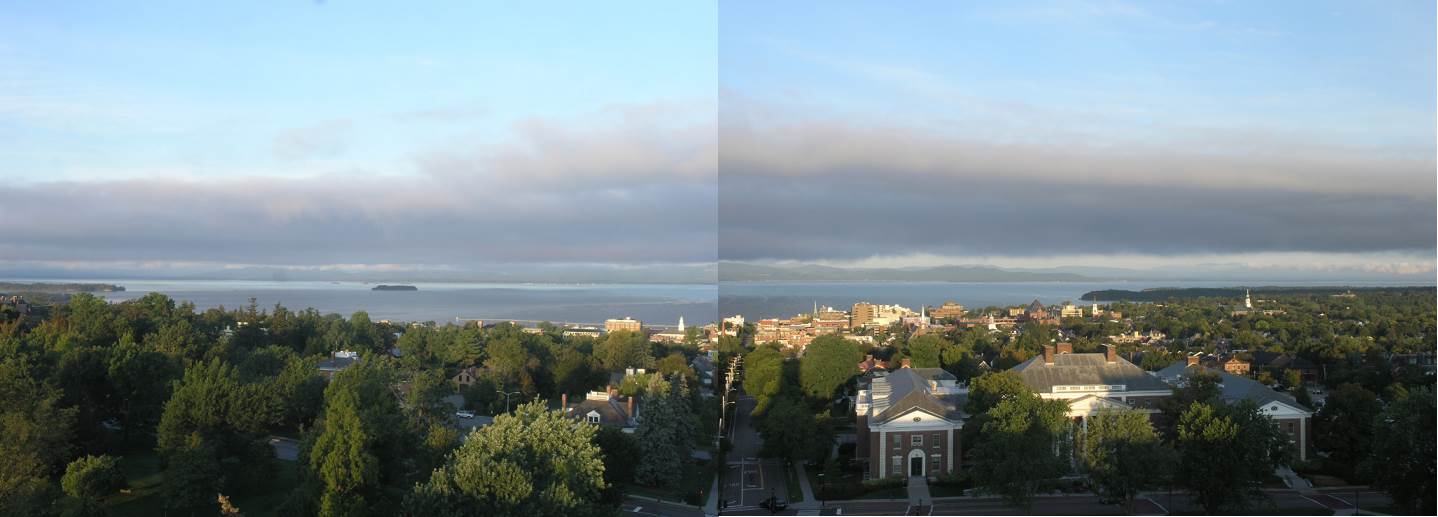
TODAY: Morning fog then mixed sun and clouds. More clouds later this afternoon northern areas. A little milder. A high 70 to 75. Southwest breeze 10 mph.
TONIGHT: Cloudy and damp. Showers becoming likely northern areas by mid evening. Slight chance for a thunderstorm northern areas. A low around 60. South breeze 10 to 15 mph.
WEDNEDAY: Clouds mixing with breaks of sunshine, Muggy and breezy at times. Scattered showers and a chance for afternoon thunderstorms. A high pushing toward 80. South winds shifting to westerly 10 to 20 mph.
Looking further ahead…
WEDNESDAY NIGHT: Partly cloudy. Patchy valley fog. A low in the mid 50s.
THURSDAY: Morning clouds then mostly sunny. A high mid 60s.
FRIDAY: Morning fog, then partly to mostly sunny before more clouds arrive late. A low upper 30s to mid 40s. A high 65 to 70.
Full Harvest Moon 12:33 AM Saturday…
SATURDAY: Considerable cloudiness. A rising chance for passing showers. A low 50 to 55. A high 65 to 70.
Average lows mid 40s to lower 50s. Average highs in the upper 60s to lower 70s
Peak of Atlantic Basin Tropical Cyclone activity

RH/9-10-19[end]
