Updated Wednesday Evening Forecast — November 13th, 2019

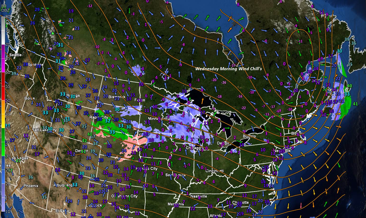
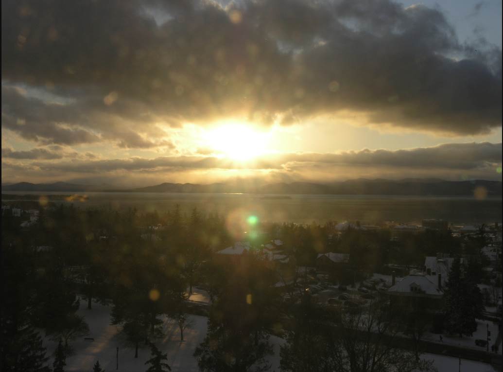
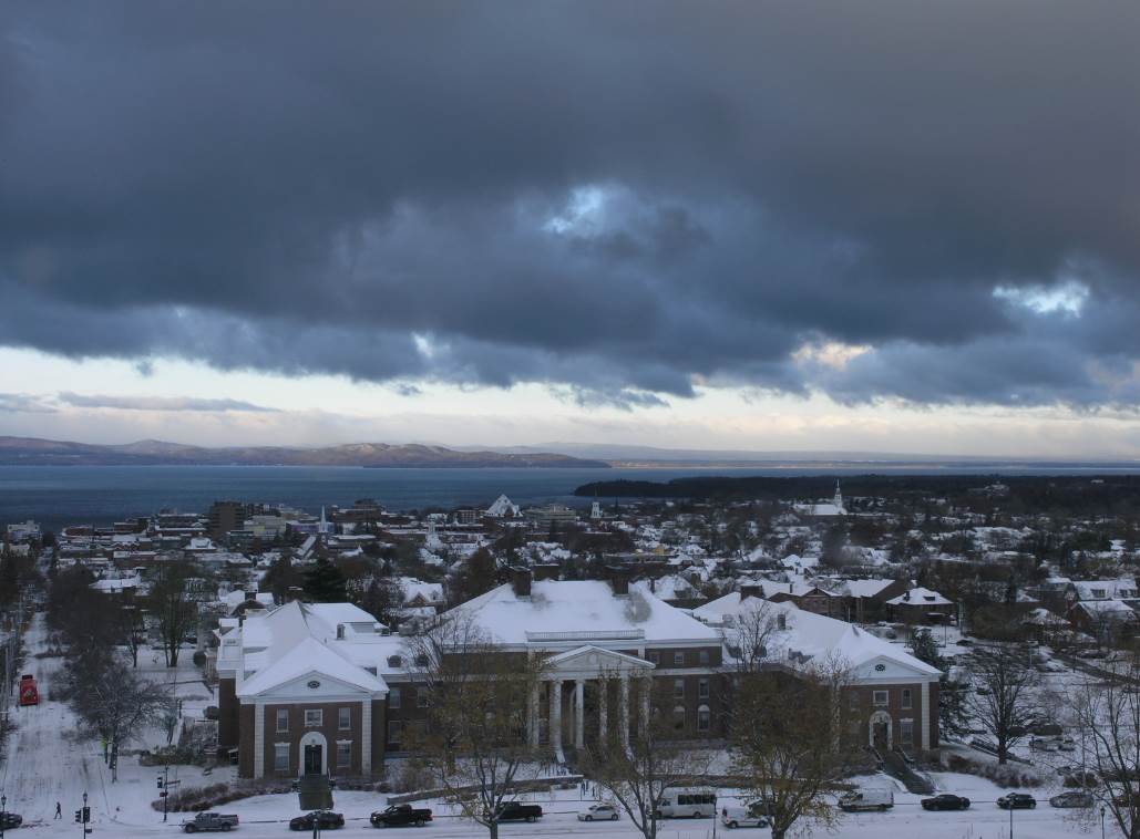
TONIGHT: Fair & moonlit early, then thickening clouds. Near record cold. A low ranging from zero to 10 above. Little wind.

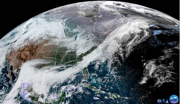
TOMORROW: Mostly cloudy. Occasional flurries & mountain snow showers developing northern areas. A dusting to less than an inch. A high 25 to 30. South winds 10 mph.

THURSDAY NIGHT: Partially moonlit skies. A low around 25. Light south winds.

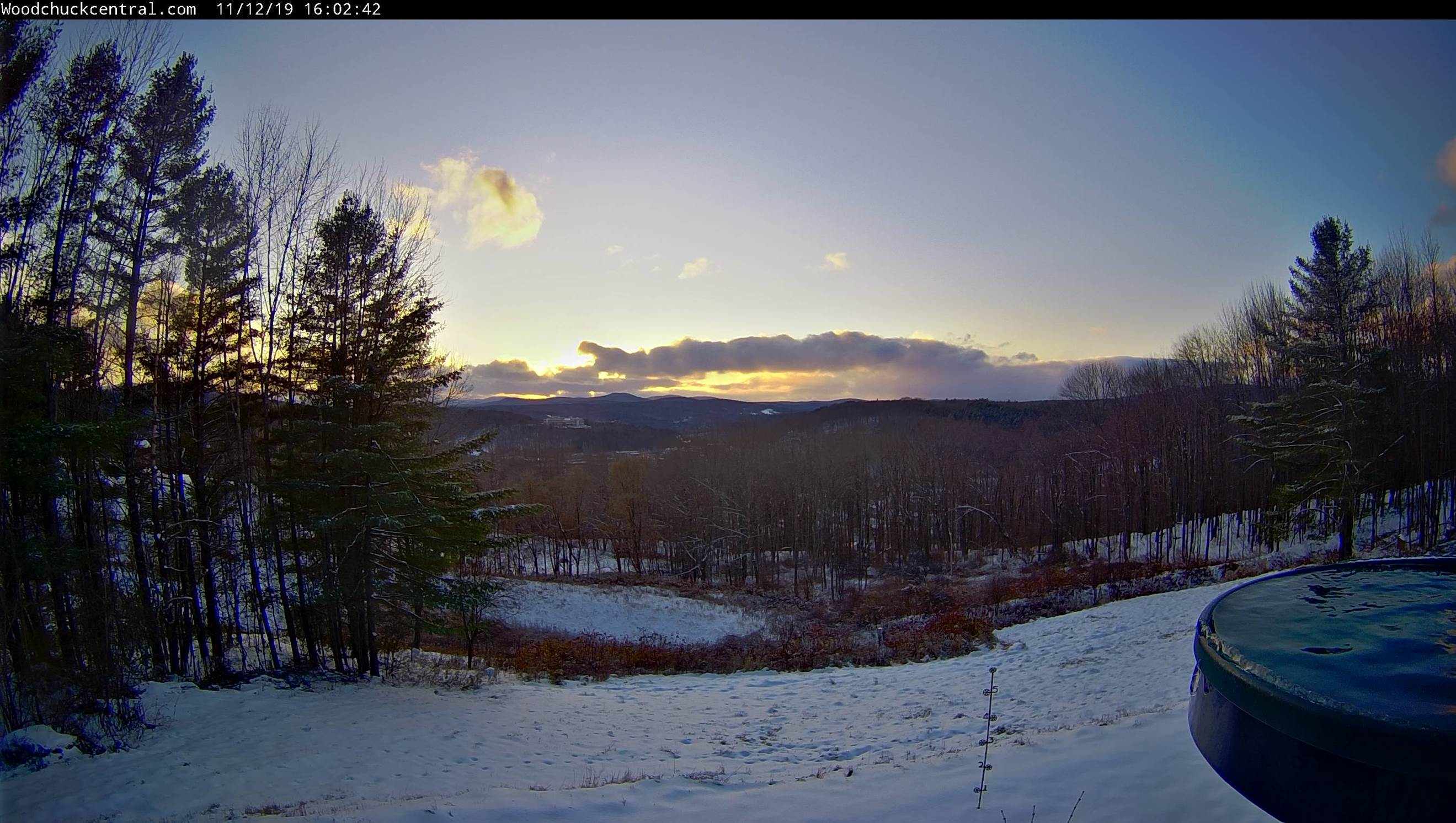
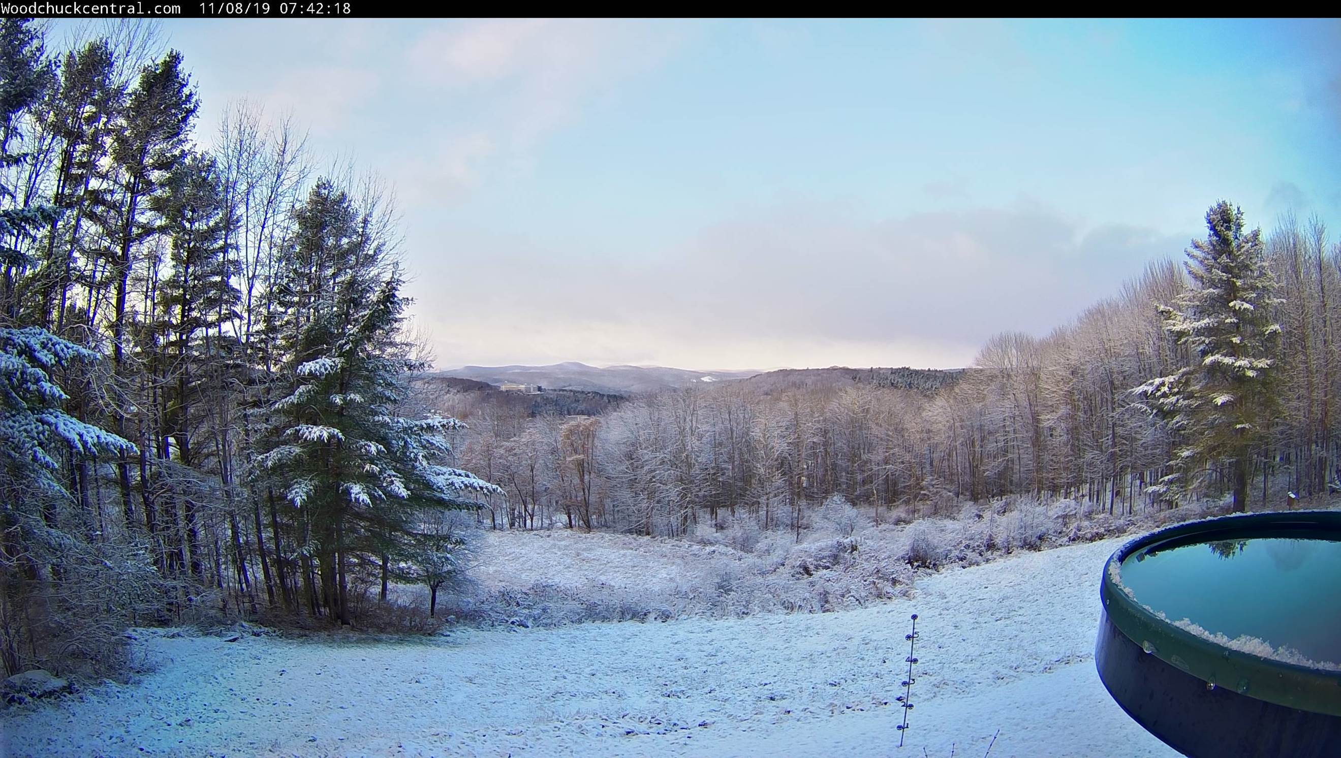
FRIDAY: Morning sun then more clouds in the afternoon. A rising chance for late day flurries far north. A high in the mid 30s. Southwest breeze 10 to 15 mph.

Looking further ahead…

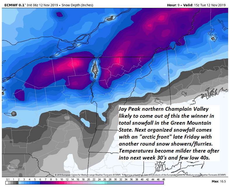
FRIDAY NIGHT: Overcast. Good chance for snow showers and flurries. Accumulation less than an inch. A low zero to 10 above.

SATURDAY: Lots of sunshine. A high 25 to 30.

SUNDAY: Partly to mostly sunny after frigid start. A low 5 below to 10 above. A high around 30.

MONDAY: Partly sunny. A low in the teens. A high in the mid 30s.

Average lows mid 20s to upper 20s. Average highs in the low to mid 40s.

RH/11-13-19[end]

Ooops Updated Wednesday morning Forecast — November 13th, 2019

TODAY: A few diamond dust flurries northern areas this morning drying up, otherwise, sun mixed with clouds. Blustery with lowered wind chills. A high 15 to 20. Northwest winds 10 to 20 mph through mid afternoon then diminishing.

TONIGHT: Fair & moonlit early, then clouding up. Near record cold. A low ranging zero to 10 above. Little wind.

THURSDAY: Mostly cloudy. Occasional flurries northern areas especially in the afternoon. A high 25 to 30. South winds 10 mph.

Looking further ahead…

THURSDAY NIGHT: Partially moonlit skies. A low around 25.

FRIDAY: Morning sun then more clouds in the afternoon. Scattered flurries developing later in the afternoon. A high in the mid 30s.

SATURDAY: Lots of sunshine. A low zero to 5 above. A high 25 to 30.

SUNDAY: Morning sun then high cloudiness. A low 5 below to 5 above. A high around 30.

MONDAY: Partly sunny western areas with more clouds east with a slight chance for mixed rain or snow shower. A low in the teens. A high in the mid 30s.

Average lows mid 20s to upper 20s. Average highs in the low to mid 40s.

RH/11-11-19[end]

Updated Wednesday Morning Forecast — November 12th, 2019

TODAY: A few diamond dust flurries northern areas this morning drying up, otherwise, sun mixed with clouds. Blustery with lowered wind chills. A high 15 to 20. Northwest winds 10 to 20 mph through mid afternoon then diminishing.

TONIGHT: Fair & moonlit early, then clouding up. Near record cold. A low ranging zero to 10 above. Little wind.

THURSDAY: Mostly cloudy. Occasional flurries northern areas especially in the afternoon. A high 25 to 30. South winds 10 mph.

Looking further ahead…

THURSDAY NIGHT: Partially moonlit skies. A low around 25.

FRIDAY: Morning sun then more clouds in the afternoon. Scattered flurries developing later in the afternoon. A high in the mid 30s.

SATURDAY: Lots of sunshine. A low zero to 5 above. A high 25 to 30.

SUNDAY: Morning sun then high cloudiness. A low 5 below to 5 above. A high around 30.

MONDAY: Partly sunny western areas with more clouds east with a slight chance for mixed rain or snow shower. A low in the teens. A high in the mid 30s.

Average lows mid 20s to upper 20s. Average highs in the low to mid 40s.

RH/11-11-19[end]

Updated Tuesday Evening Forecast — November 12th, 2019

TONIGHT: A few flurries near the mountains, otherwise turning mostly clear and fully moonlit. Near record cold with a low 5 to 10 above. West to northwest winds 10 to 15 mph lowering wind chills.

TOMORROW: Couple morning flurries Northeast Kingdom, otherwise, mixed sun and clouds. Blustery with lowered wind chills. A high 15 to 20. Northwest winds 10 to 20 mph.

WEDNESDAY NIGHT: Fair & moonlit early, then clouding up. Near record cold. A low ranging zero to 10 above. Little wind.

THURSDAY: More clouds than sunshine. Chance for flurries northern areas especially in the afternoon. A high 25 to 30. South breeze 10 mph.

Looking further ahead…

THURSDAY NIGHT: Partially moonlit skies. A low around 25.

FRIDAY: Brief morning sun then clouding up. Scattered flurries developing in the afternoon. A high in the mid 30s.

SATURDAY: Lots of sunshine A low zero to 10 above. A high 25 to 30.

SUNDAY: Variable high cloudiness. A low 5 below to 5 above. A high around 30.

Average lows mid 20s to around 30. Average highs ranging through the 40s.

RH/11-11-19[end]

Updated Tuesday Morning Forecast — November 12th, 2019

Winter Storm Warnings and Advisories to expire early this afternoon.

Full Beaver Moon 8:34 AM

TODAY: Periods of snow… moderate at times early…tapering off late morning into this afternoon. Otherwise clouds with intervals of sun developing and rather blustery and cold. A high mid to upper 20s. West to northwest winds picking up 10 to 25 mph.

TONIGHT: Partly cloudy NE. Kingdom with a few flurries, otherwise becoming mostly clear. Near record cold with a low 5 to 10 above. West to northwest winds 10 to 15 mph lowering wind chills.

WEDNESDAY: Scattered flurries NE Kingdom early, otherwise, partly cloudy cold and blustery with lowered wind chills. A high in the upper teens to around 20. Northwest winds 10 to 20 mph.

Looking further ahead…

WEDNESDAY NIGHT: Fair in the evening then clouding up overnight. Near record cold. A low ranging zero to 10 above.

THURSDAY: Variable cloudiness. Chance for flurries far northern areas. A high 25 to 30.

FRIDAY: Brief morning sun then clouding up. Chance for snow showers or flurries. Minor accumulations. A low around 25. A high in the mid to upper 30s.

SATURDAY: Lots of sunshine A low zero to 10 above. A high in the 20s.

SUNDAY: Variable high cloudiness. A low around zero degrees. A high in the low 30s.

Average lows mid 20s to around 30. Average highs ranging through the 40s.

RH/11-11-19[end]

Updated Monday Evening Forecast — November 11th, 2019

Winter Storm Warning into Tuesday afternoon northern/western Vermont, Winter Weather Advisory elsewhere

TONIGHT: Cloudy. Light to moderate snow this evening…changing to sleet- pockets of freezing rain overnight. Mixed precipitation switching back to moderate snow before day break. Several inches accumulation toward the Champlain Valley, couple to a few inches elsewhere with minor glazing. A low upper teens to lower 20s. Light north to northeast winds.

Full Beaver Moon 8:34 AM

TOMORROW: Periods of snow…tapering off late morning into the afternoon. Otherwise overcast with breaks of sun developing late. A high mid to upper 20s. Blustery in the afternoon. Northwest winds picking up 10 to 25 mph.

TUESDAY NIGHT: Partly cloudy NE. Kingdom with a few flurries, otherwise becoming mostly clear and very cold. Near record cold with a low 5 to 10 above. West to northwest winds 10 to 15 mph lowering wind chills.

WEDNESDAY: A few mountain flurries possible early. Otherwise, partly cloudy. Cold and blustery with lowered wind chills. A high near 20. Northwest winds 10 to 20 mph.

Looking further ahead…

WEDNESDAY NIGHT: Fair in the evening then clouding up overnight. A low dipping to near zero degrees.

THURSDAY: Variable high cloudiness with near record cold. A high in the upper 20s.

FRIDAY: Brief morning sun then clouding up. Chance for snow showers or flurries. Minor accumulations. A low in the low to mid 20s. A high 30 to 35.

Average lows mid 20s to around 30. Average highs ranging through the 40s.

RH/11-11-19[end]

Updated Monday Morning Forecast — November 11th, Veterans Day 2019

Winter Storm Warning this afternoon into Tuesday afternoon…Northern/Western Vermont, Winter Weather Advisory elsewhere

TODAY: Gray skies. Scattered flurries this morning with a break late morning into early afternoon. Accumulating light snow developing this mid to late afternoon. Snow coated roads and slippery travel developing. A high 30 to 35. Light north winds.

TONIGHT: Overcast. Periods of moderate snow…Barre-Montpelier area north mixed with sleet at times. Sleet and snow mixed with freezing rain central and southern areas overnight with slick travel. Several inches accumulation especially northern and western Vermont. A low upper teens to lower 20s. Light north to northeast winds.

TUESDAY: Periods of snow and wintry mix in the morning tapering off eventually in the late morning and afternoon. Otherwise overcast with breaks of sun developing late. A high around 25. Blustery in the afternoon. Northwest winds picking up 10 to 25 mph.

Looking further ahead…

TUESDAY NIGHT: Partly cloudy NE. Kingdom with a few flurries, otherwise becoming mostly clear and very cold. Near record cold with a low ranging through the single digits.

WEDNESDAY: A few mountain flurries possible early. Otherwise, clouds mixed with intervals of sunshine. A high only around 20.

THURSDAY: Clouds mixed with intervals of sunshine. A low 5 below to 10 above. A high in the upper 20s.

FRIDAY: Mainly gray. Chance for snow showers or flurries. Minor accumulations. A low in the low to mid 20s. A high in the 30 to 35.

Average lows mid 20s to around 30. Average highs ranging through the 40s.

RH/11-11-19[end]

Updated Friday Evening Forecast — November 8th, 2019

TONIGHT: Snow showers or flurries wind down this evening, then clearing and well below normal in temperature. A low 15 to 20. Northwest winds 10 to 15 mph.

TOMORROW: Sunshine, with a few cloudy periods in the afternoon. Rather chilly. A high 32 to 35. Southwest winds 10 mph.

SATURDAY NIGHT: Partly cloudy. A low near 25. South winds 10 mph.

SUNDAY: Partly to mostly cloudy. Widely scattered flurries northern Green Mountains late morning on. A high in the lower 40s. South to southwest breeze 10 to 15 mph.

Looking further ahead…

SUNDAY NIGHT: Scattered mountain flurries and valley sprinkles. Otherwise mostly cloudy. A low 30 to 35.

MONDAY: Cloudy. Chance for light wet snow northern areas…with mostly rain central/southern valley floors. A high in the upper 30s.

TUESDAY: Gray. Chance for accumulating snow…mixed with sleet at times. Several inches possible. A low 20 to 25. A high around 30.

WEDNESDAY: Mostly cloudy, blustery and colder. Frequent accumulating snow showers or flurries. A low in the teens. A high in the 20s.

Average lows upper 20s to low 30s. Average highs mid 40s to around 50.

RH/11-8-19[end]

Updated Friday morning forecast — November 7th, 2019

TODAY: Clouds mixed with intervals of sun. Blustery. Scattered mountain snow showers & valley flurries. Up to an additional inch accumulation. Rather chilly, a high upper 20s to around 30. Northwest winds 10 to 25 mph.

TONIGHT: A couple leftover flurries, then mostly clear. A low upper teens to around 20. Northwest winds 10 to 15 mph.

SATURDAY: Sunshine, with a few cloudy periods in the afternoon. Rather chilly. A high 32 to 35. Light northwest winds.

Looking further ahead…

SATURDAY NIGHT: Partly cloudy. A low near 25.

SUNDAY: Partly to mostly cloudy. Widely scattered flurries northern Green Mountains late morning on. A high around 40.

MONDAY: Cloudy. Chance for light wet snow northern areas…with mostly rain central/southern valley floors. A low near 32. A high in the upper 30s.

TUESDAY: Gray. Chance for light to moderate accumulating snow. A low near 20. A high in the 30s.

Average lows upper 20s to low 30s. Average highs mid 40s to around 50.

RH/11-8-19[end]

Updated Thursday Evening Forecast — November 7th, 2019

TONIGHT: Periods of accumulating light snow with slick travel this evening…tapering off overnight with partial clearing. Total snow accumulation – a dusting to locally 3” A low 20 to 25. Light northwest winds.

TOMORROW: Clouds mixed with intervals of sun. Blustery. Scattered mountain snow showers or flurries. Less than an inch additional accumulation. Rather chilly, a high around 30. Northwest winds 10 to 25 mph.

FRIDAY NIGHT: A couple leftover flurries, then mostly clear. A low upper teens to around 20. Northwest winds 10 to 15 mph.

SATURDAY: Sunshine, with a few cloudy periods in the afternoon. Rather chilly. A high near 32. Light northwest winds.

Looking further ahead…

SATURDAY NIGHT: Partly cloudy. A low near 25.

SUNDAY: Partly to mostly cloudy. Scattered mountain flurries and valley sprinkles. A high around 40.

MONDAY: Cloudy. Chance for light snow mixed with rain valley floors. A low near 25. A high in the upper 30s to around 40.

TUESDAY: Gray. Chance for light to moderate accumulating snow. A low 20 to 25. A high in the mid 20s.

Average lows upper 20s to low 30s. Average highs mid 40s to around 50.

RH/11-7-19[end]