
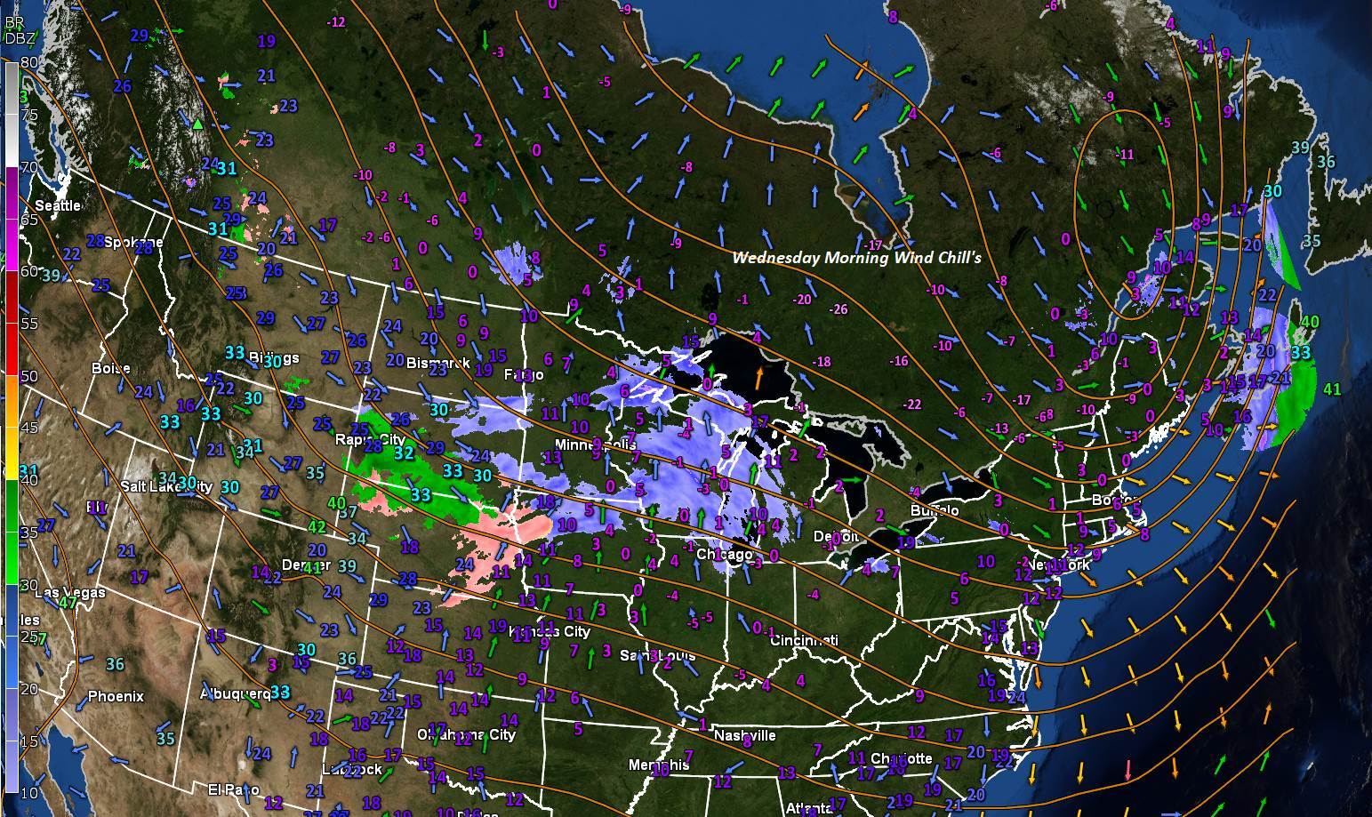
TODAY: A few diamond dust flurries northern areas this morning drying up, otherwise, sun mixed with clouds. Blustery with lowered wind chills. A high 15 to 20. Northwest winds 10 to 20 mph through mid afternoon then diminishing.
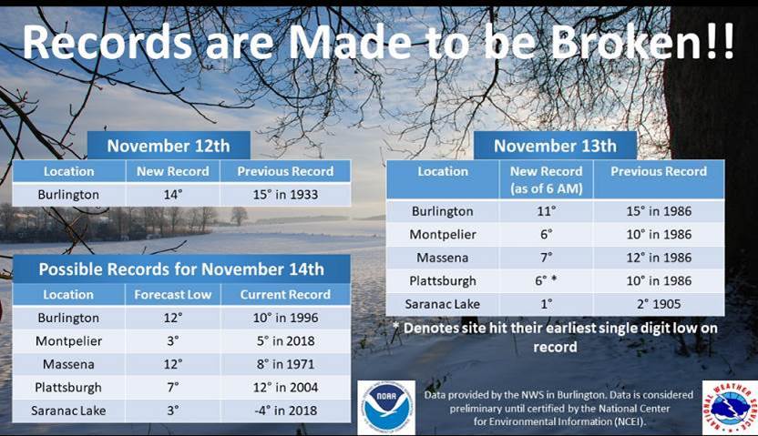
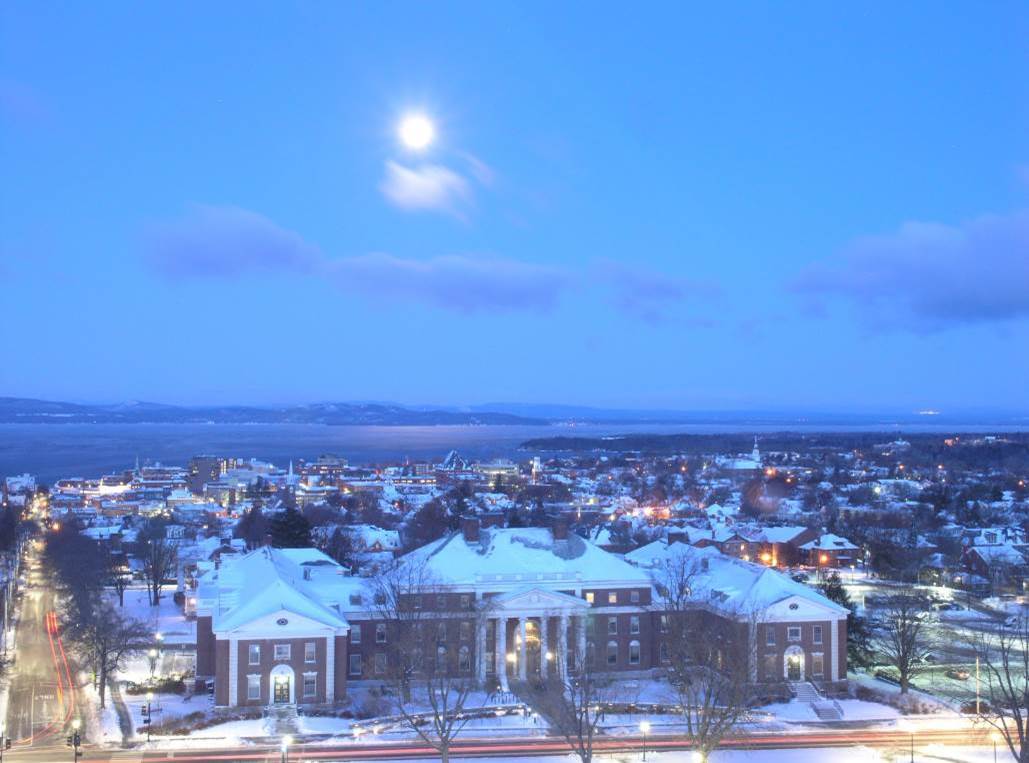
TONIGHT: Fair & moonlit early, then clouding up. Near record cold. A low ranging zero to 10 above. Little wind.
THURSDAY: Mostly cloudy. Occasional flurries northern areas especially in the afternoon. A high 25 to 30. South winds 10 mph.
Looking further ahead…
THURSDAY NIGHT: Partially moonlit skies. A low around 25.
FRIDAY: Morning sun then more clouds in the afternoon. Scattered flurries developing later in the afternoon. A high in the mid 30s.
SATURDAY: Lots of sunshine. A low zero to 5 above. A high 25 to 30.
SUNDAY: Morning sun then high cloudiness. A low 5 below to 5 above. A high around 30.
MONDAY: Partly sunny western areas with more clouds east with a slight chance for mixed rain or snow shower. A low in the teens. A high in the mid 30s.
Average lows mid 20s to upper 20s. Average highs in the low to mid 40s.
RH/11-11-19[end]
