Updated Wednesday Evening Forecast — December 4th, 2019

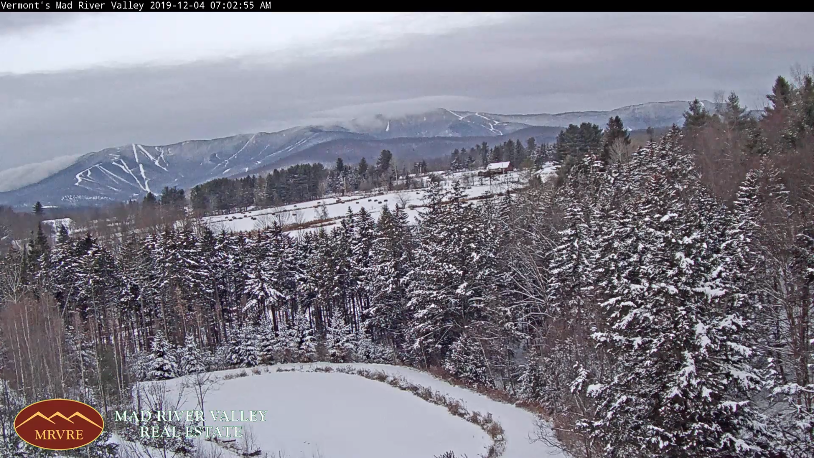
TONIGHT: Lots of clouds. Occasional flurries with a light skiff of snow in spots northern areas. A low in the low 20s. Light southwest winds.

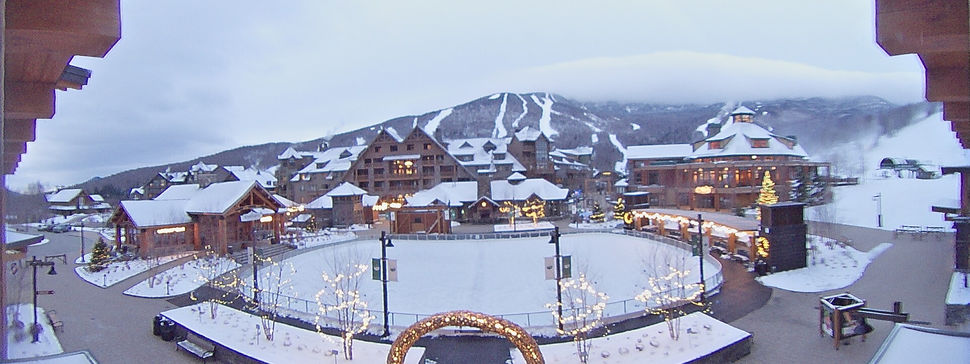
TOMORROW: Mostly cloudy and blustery at times. Occasional mountain snow showers and valley flurries. Dusting to an inch across higher terrain. A high in the low 30s. West to northwest winds 10 to 20 mph.

THURSDAY NIGHT: Scattered mountain snow showers and valley flurries with some minor accumulation in the evening diminishing overnight. Otherwise mostly cloudy. A low 15 to 20. West to northwest winds 10 to 15 mph.

FRIDAY: Intervals of sun early, then cloudy. Chance for flurries northern areas. Chance for light accumulating snow south of the Barre-Montpelier area. A high in the mid to upper 20s. Light west winds.

Looking further ahead…

FRIDAY NIGHT: Scattered clouds. A low ranging 10 to 15.

SATURDAY: Morning clouds, then mostly sunny. A high in the low 20s.

SUNDAY: Sunshine mixed with clouds.A low zero to 10 above. A high upper 20s.

MONDAY: Gray. Chance for rain. Possible slick travel sub-freezing ground surfaces. Temperatures rising to near 40.

TUESDAY: Mainly cloudy. Scattered rain showers mixing with wet snow in the afternoon. A low near 30. A high pushing to near 45

Average lows 20 to 25, average highs in the 30s

RH/12-4-19[end]

Updated Wednesday morning Forecast — December 4th, 2019

TODAY: Lots of clouds. Isolated flurries Champlain Valley and Green Mountains later this afternoon. A high 32 to 35. Light southwest winds.

TONIGHT: Lots of clouds. Occasional flurries with a dusting to half inch fluffy snow. A low 20 to 25. Light southwest winds.

THURSDAY: Mostly cloudy and blustery at times. Scattered mountain snow showers and valley flurries. Dusting to an inch elevated terrain. A high 30 to 35. West to northwest winds 10 to 20 mph.

Looking further ahead…

THURSDAY NIGHT: Scattered mountain snow showers and valley flurries with some minor accumulation in the evening diminishing overnight. A low 15 to 20.

FRIDAY: Intervals of sun early, then cloudy. Chance for flurries northern areas with light accumulating snow central and southern areas. A high 25 to 30.

SATURDAY: Morning clouds, then mostly sunny. A low 10 to 15. A high mid 20s.

SUNDAY: Sunshine mixed with clouds.A low 5 to 10 above. A high upper 20s to around 30.

MONDAY: Gray. Chance for rain. Possible slick travel sub-freezing ground surfaces. Temperatures in the 30s rising to near 40.

TUESDAY: Mainly cloudy. Scattered rain showers mixing with wet snow in the afternoon. A low 32 to 35. A high in the 40s.

Average lows 20 to 25, average highs in the 30s

RH/12-4-19[end]

Updated Tuesday Evening Forecast — December 3rd, 2019

TONIGHT: Clear this evening then clouding up. A low in the upper teens. Light northwest winds.

TOMORROW: Mainly cloudy. Rising chance for flurries. A high 32 to 35. Light southwest winds.

WEDNESDAY NIGHT: Lots of clouds. Chance for flurries. A low around 25. Light southwest winds.

THURSDAY: Mostly cloudy and blustery at times. Scattered mountain snow showers and valley flurries. A high in the low 30s. West to northwest winds 10 to 20 mph.

Looking further ahead…

THURSDAY NIGHT: Scattered mountain snow showers and valley flurries with some minor accumulation. A low 15 to 20.

FRIDAY: Intervals of sun early, then clouding up. Slight chance for flurries northern areas. Chance for light accumulating snow southern areas late. A high 25 to 30.

SATURDAY: Morning clouds, then mostly sunny. A low 10 to 15. A high mid 20s.

SUNDAY: Sunshine mixed with clouds.A low in the single digits above zero. A high 30 to 35. :

Average lows in the low to mid 20s, average highs mid to upper 30s

RH/12-2-19[end]

Updated Tuesday Morning Forecast — December 3rd, 2019

TODAY: Morning clouds giving way to periods of sunshine west to east. A high 25 to 30. North to northwest winds 10 to 15 mph.

TONIGHT: Clear this evening then clouding up. A low in the upper teens. Light northwest winds.

WEDNESDAY: Mainly cloudy. Rising chance for flurries. A high 32 to 35. Light southwest winds.

Looking further ahead…

WEDNESDAY NIGHT: Lots of clouds. Chance for flurries. A low around 25.

THURSDAY: Mostly cloudy. Scattered mountain snow showers and valley flurries. A high in the low 30s.

FRIDAY: Intervals of sun early, then clouding up. A rising chance for accumulating light snow in the afternoon especially southern areas. A low 15 to 20. A high 25 to 30.

SATURDAY: Morning clouds, then mostly sunny. A low 10 to 15. A high mid 20s.

SUNDAY: Sunshine mixed with clouds.A low in the single digits above zero. A high 30 to 35. :

Average lows in the low to mid 20s, average highs mid to upper 30s

RH/12-2-19[end]

Updated Monday Evening Forecast — December 2nd, 2019

Winter Weather Advisory Windsor/Rutland Counties into tonight.

TONIGHT: Occasional light accumulating snow south and east of the Barre-Montpelier area exiting toward daybreak. Accumulation a dusting to couple inches. Otherwise remaining cloudy. A low in the upper teens. Light north winds.

TOMORROW: A few clouds early then partly to mostly sunny. A high mid to upper 20s. Northwest winds 10 to 15 mph.

TUESDAY NIGHT: Clear in the evening then lots of clouds. A low near 20. Light northwest winds.

WEDNESDAY: Mainly cloudy. Rising chance for flurries late. A high 32 to 35. Light southwest winds.

Looking further ahead…

WEDNESDAY NIGHT: Lots of clouds. Chance for flurries. A low around 25.

THURSDAY: Mostly cloudy. Scattered mountain snow showers and valley flurries. A high around 32.

FRIDAY: Intervals of sun in the morning then clouding up. A rising chance for accumulating light snow in the afternoon. A low in the teens. A high around 25.

SATURDAY: Morning clouds, then partly sunny. A low 10 to 15. A high mid 20s.

SUNDAY: Sunshine mixed with clouds.A low in the single digits above zero. A high 30 to 35. :

Average lows in the low to mid 20s, average highs mid to upper 30s

RH/12-2-19[end]

Updated Monday morning Forecast — December 2nd, 2019

Winter Storm Warning Windsor/Rutland Counties south Winter Weather Advisory Orange County thru 7 AM Tuesday

TODAY: Gray. Occasional light snow tapering off this morning northern areas…continuing south of the Barre-Montpelier area, with additional 1 to locally 3” accumulation Rutland to Windsor counties and further south. A high near 32. Light northeast winds.

TONIGHT: Mostly cloudy. Light accumulating snow south and east of the Barre-Montpelier area exiting mid morning. A low in the upper teens. Light north winds.

TUESDAY: Chance for a few mountain flurry. Otherwise becoming partly to mostly sunny in the afternoon. A high in the mid to upper 20s. Northwest winds 10 to 15 mph.

Looking further ahead…

TUESDAY NIGHT: Mostly clear in the evening then more clouds. A low 15 to 20.

WEDNESDAY: Considerable cloudiness. Slight chance for brief snow shower or flurries. A high around 35.

THURSDAY: Mostly cloudy. Scattered mountain snow showers and valley flurries. A low in the mid 20s. A high near 32.

FRIDAY: Clouds mixed with intervals of sunshine. A rising chance for snow showers with some accumulation possible in the afternoon. A low in the teens. A high in the low to mid 30s.

Average lows in the low to mid 20s, average highs mid to upper 30s

RH/12-2-19[end]

Updated Friday Evening Forecast — November 29th, 2019

TONIGHT: Isolated mountain flurries this evening, otherwise gradual clearing. A low around 15. Northwest winds 10 mph.

TOMORROW: A few mountain clouds northern areas otherwise considerable sunshine. A high around 25. Winds northwesterly 10 to 15 mph.

SATURDAY NIGHT: Mostly clear with some high clouds.A low around 10 above. Light northwest winds.

SUNDAY: High cloudiness in the morning, thickening in the afternoon. Accumulating snow developing southern Vermont spreading north in the afternoon. A high 25 to 30. Light east winds.

Looking further ahead…

SUNDAY NIGHT: Overcast. Periods of mostly light snow central and northern areas…tapering off overnight. Significant snowfall toward southern areas. A low in the low 20s.

MONDAY: Gray. Good chance for accumulating snow especially in the afternoon. Chance for significant snowfall S. VT. A high mid to upper 20s.

TUESDAY: Chance for light accumulating snow or snow showers. Temperatures in the 20s.

WEDNESDAY: Partly sunny. A low zero to 10 above. A high in the low 30s.

Average lows in the low to mid 20s, average highs 35 to 40.

RH/11-29-19[end]

Updated Friday morning Forecast — November 29th, 2019

TODAY: Cloudiness lingers into mid day giving way partial sunshine but chilly. A high in the mid to upper 20s. Northwest winds 10 to 15 mph.

TONIGHT: Mostly clear. A low in the mid teens. Northwest winds 10 mph.

SATURDAY: Sunny but chilly. A high around 25. Winds northwesterly 10 mph.

Looking further ahead…

SATURDAY NIGHT: Mostly clear with some high clouds.A low 10 to 15.

SUNDAY: High cloudiness in the morning thickening up in the afternoon. Chance for light accumulating snow developing late. A high in the low 30s.

MONDAY: Gray. Chance for snow showers mainly southern parts of Vermont. A low 20 to 25. A high near 32.

TUESDAY: A period of light accumulating snow giving way to flurries before exiting in early afternoon. Partly to mostly sunny in the afternoon. A low 15 to 20. A high mid to upper 20s.

Average lows in the low to mid 20s, average highs 35 to 40.

RH/11-29-19[end]

Updated Thanksgiving Morning Forecast — November 28th, 2019

TODAY: Snow showers winding down to isolated flurries by late morning, Be prepared for slick spots across the high terrain. Otherwise clouds with a few breaks of sun away from the mountains this afternoon. Gradually colder. Temperatures sliding into the upper 20s this afternoon. North winds picking up 10 to 20 mph and gusty.

TONIGHT: Mostly cloudy.A low 20 to 25. Northwest winds 10 mph.

FRIDAY: Morning clouds, then increasing sunshine but rather chilly. A high in the upper 20s. Northwest winds 10 to 15 mph.

Looking further ahead…

FRIDAY NIGHT: Clear in the evening with clouds overnight toward Champlain Valley. A low in the upper teens.

SATURDAY: Mostly sunny but chilly. A high around 25.

SUNDAY: High cloudiness in the morning thickening up in the afternoon. Chance for accumulating snow developing late. A low 10 to 15. A high in the low 30s.

MONDAY: Gray. Chance for leftover periods of snow & snow showers. A few inches of accumulation. A low 20 to 25. A high near 32.

Average lows in the low to mid 20s, average highs 35 to 40.

RH/11-28-19[end]

Updated Wednesday Evening Forecast — November 27th, 2019

TONIGHT: Overcast. Rain…mixing with wet snow near the Quebec border…a couple inches possible Northeast Kingdom high elevations. Less than an inch accumulation high terrain elsewhere. A low in the low 30s. Light winds.

THANKSGIVING DAY: Morning snow showers or flurries becoming isolated, — Watch out for slick travel in the morning. Otherwise mainly cloudy. Turing colder. Temperatures sliding into the upper 20s in the afternoon. North winds picking up 10 to 20 mph.

THURSDAY NIGHT: Lots of clouds giving way to partial clearing.A low in the lower 20s. Northwest winds 10 mph.

FRIDAY: A few clouds early then bright sun and blue skies. Cold. A high upper 20s to around 30. Northwest winds 10 to 15 mph.

Looking further ahead…

FRIDAY NIGHT: Clear in the evening with clouds overnight toward Champlain Valley. A low in the upper teens.

SATURDAY: Mostly sunny but chilly. A high around 25.

SUNDAY: High cloudiness thickening up late. Chance for accumulating snow toward evening. A low 10 to 15. A high near 32.

MONDAY: Cloudy. Chance for snow or snow showers with additional accumulation. A low in the mid-20s. A high near 30.

Average lows in the low to mid 20s, average highs 35 to 40.

RH/11-27-19[end]