
TONIGHT: Overcast. Rain…mixing with wet snow near the Quebec border…a couple inches possible Northeast Kingdom high elevations. Less than an inch accumulation high terrain elsewhere. A low in the low 30s. Light winds.
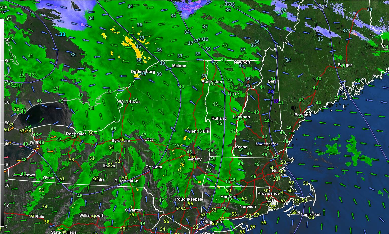
THANKSGIVING DAY: Morning snow showers or flurries becoming isolated, — Watch out for slick travel in the morning. Otherwise mainly cloudy. Turing colder. Temperatures sliding into the upper 20s in the afternoon. North winds picking up 10 to 20 mph.
THURSDAY NIGHT: Lots of clouds giving way to partial clearing.A low in the lower 20s. Northwest winds 10 mph.
FRIDAY: A few clouds early then bright sun and blue skies. Cold. A high upper 20s to around 30. Northwest winds 10 to 15 mph.
Looking further ahead…
FRIDAY NIGHT: Clear in the evening with clouds overnight toward Champlain Valley. A low in the upper teens.
SATURDAY: Mostly sunny but chilly. A high around 25.
SUNDAY: High cloudiness thickening up late. Chance for accumulating snow toward evening. A low 10 to 15. A high near 32.
MONDAY: Cloudy. Chance for snow or snow showers with additional accumulation. A low in the mid-20s. A high near 30.
Average lows in the low to mid 20s, average highs 35 to 40.
RH/11-27-19[end]
