
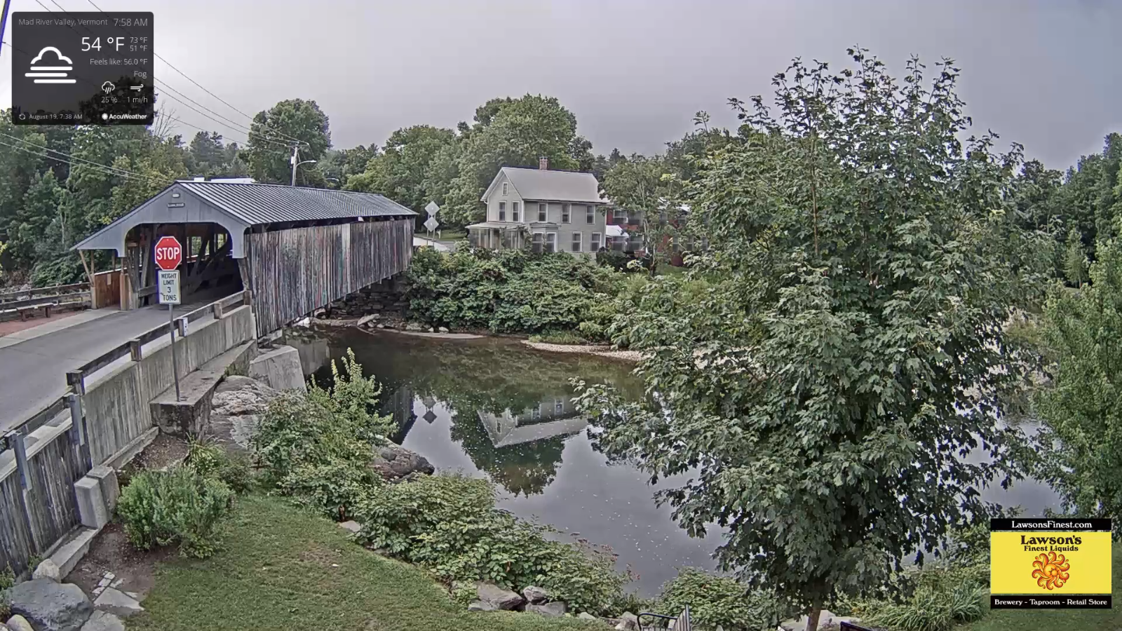
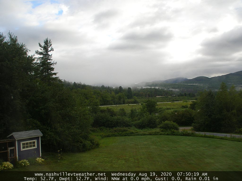
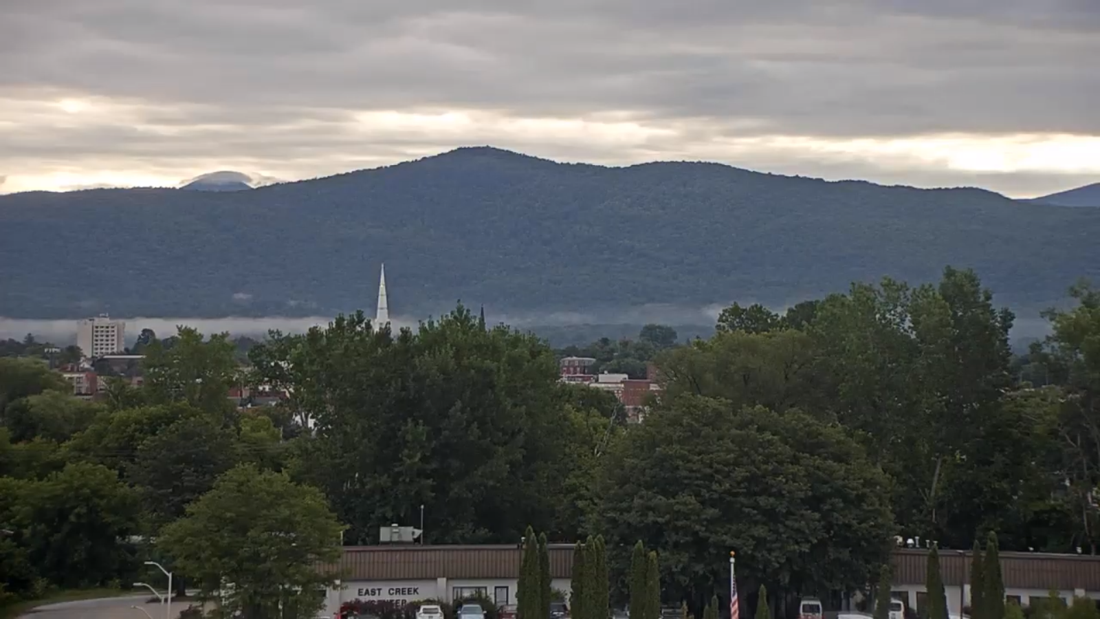
TODAY: Morning dense valley fog burns off to mixed clouds and sun. Sunshine increases this afternoon. Cool with a high around 70. Northwest breeze 10 mph in the afternoon.
TONIGHT: Mostly clear. Patchy valley fog.A bit chilly.A low in the upper 40s to around 50. Light northwest winds.
THURSDAY: Fog burns off to lots of sunshine, with more afternoon cloudiness. A high in the low 70s. West to Northwest winds 10 mph.
Looking further ahead…
THURSDAY NIGHT: Partly cloudy. A low 55 to 60.
FRIDAY: Partly sunny after morning fog. Afternoon clouds with scattered showers and thunderstorms…especially northern areas. Otherwise mixed sun and clouds and more humid in the afternoon. A high near 80.
SATURDAY: Sunshine after morning fog filtered by high clouds. A low near 60. Moderately humid. A high mid-70s to low 80s warmest south.
SUNDAY: Partly sunny. Scattered afternoon showers and thunderstorms. A low upper 50s to near 60. More muggy. A high in the lower 80s.
MONDAY: Partly sunny. Chance for afternoon showers and isolated thunderstorms. Muggy. A low around 60. A high near 80.
TUESDAY: Partly sunny. Continued rather humid. Scattered afternoon showers and thunderstorms. A low in the lower 60s. A high in the low to mid 80s.
Average lows low to mid 50s, average highs mid to upper 70s
RH/8-19[end]
