TONIGHT: An isolated shower or two with a rumble of thunder early then mostly clear. Patchy valley fog overnight. A low 50 to 55. Light west winds.
TOMORROW: Morning clouds with patchy fog, then more clouds than sun. Cool with a high around 70. Northwest breeze 10 mph.
WEDNESDAY NIGHT: Mostly clear. Isolated valley fog.A bit chilly.A low in the upper 40s. Light northwest winds.
THURSDAY: Fog burns off to lots of sunshine, with more afternoon cloudiness. A high in the low 70s. Northwest winds 10 mph.
Looking further ahead…
THURSDAY NIGHT: Partly cloudy. A low 55 to 60.
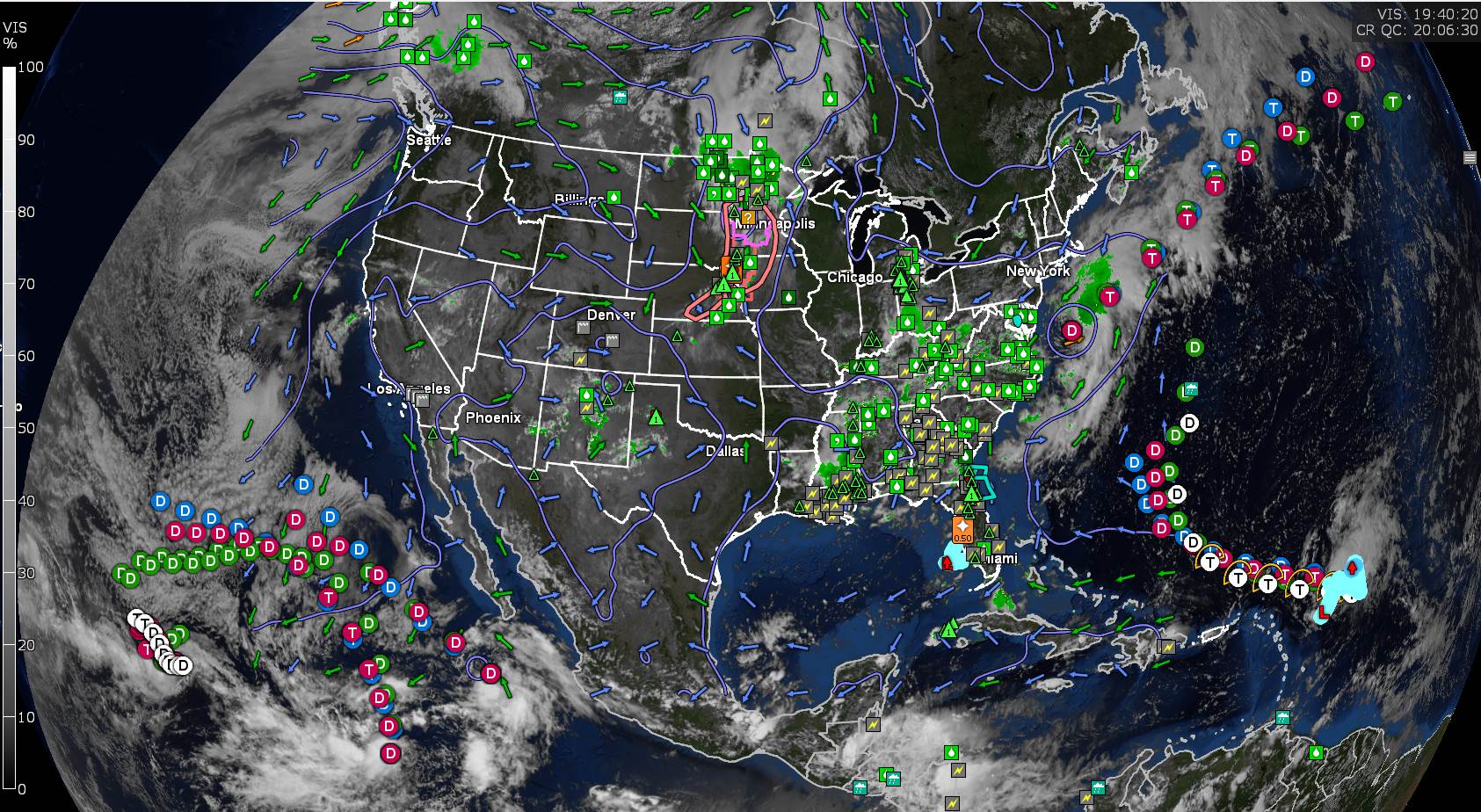
FRIDAY: Partly sunny after morning fog. Afternoon clouds with widely scattered showers and thunderstorms…especially northern areas. Partly sunny southern areas. A high near 80.
SATURDAY: Sunshine after morning fog filtered by high clouds. Chance for a shower or thunderstorm near the Quebec border. A low near 60. A high upper 70s norther to mid-80s south.
SUNDAY: Partly sunny. Scattered afternoon showers and thunderstorms. A low upper 50s. A high around 85.
Average lows low to mid 50s, average highs mid to upper 70s
RH/8-18[end]