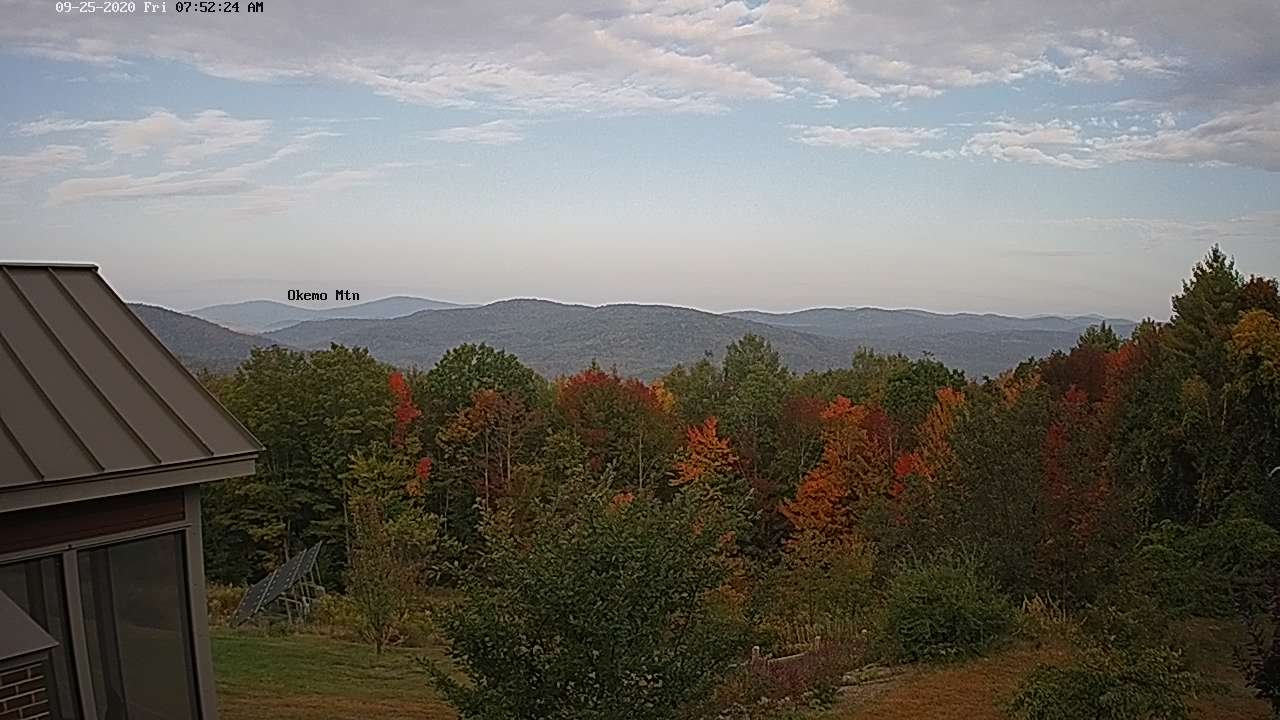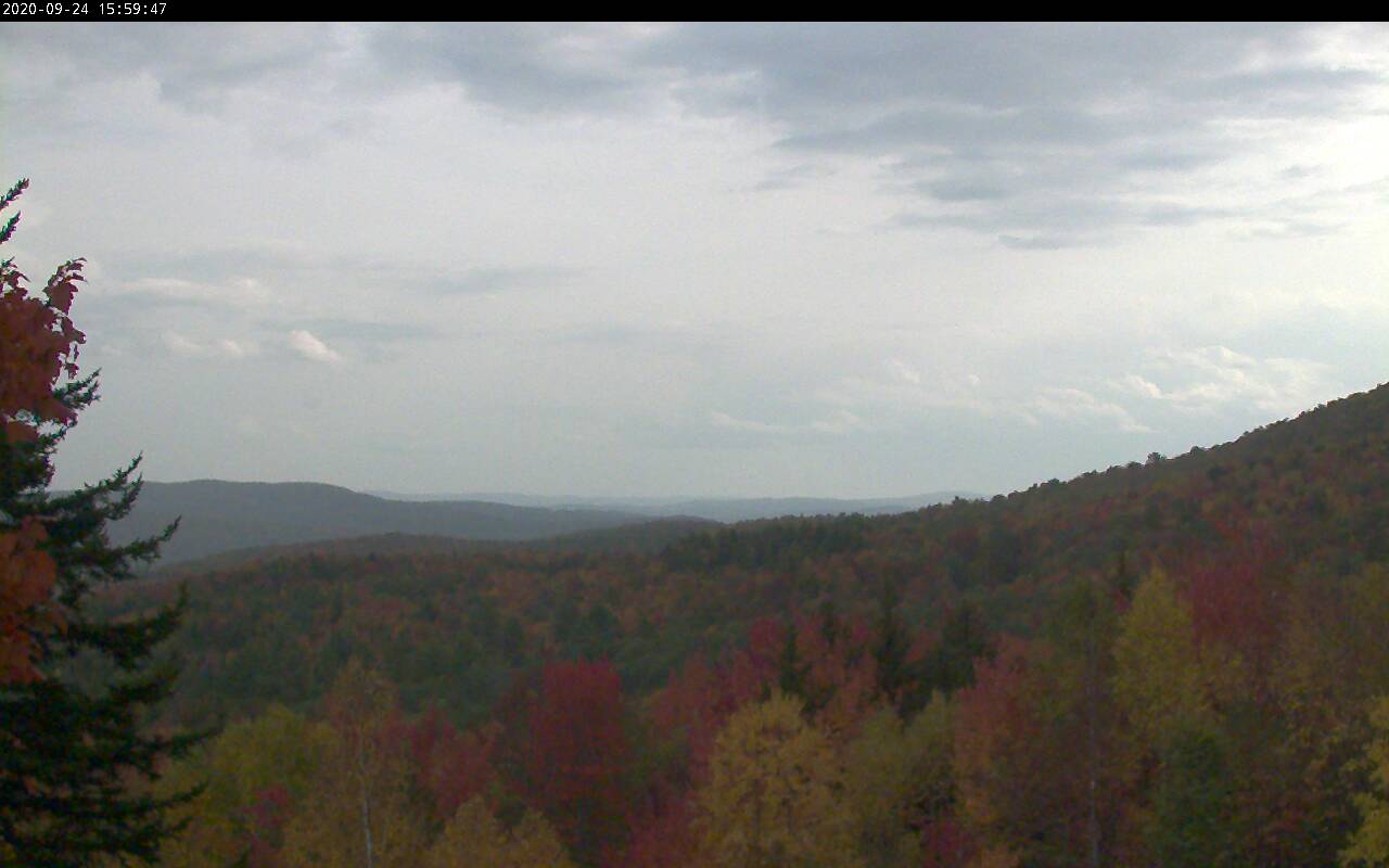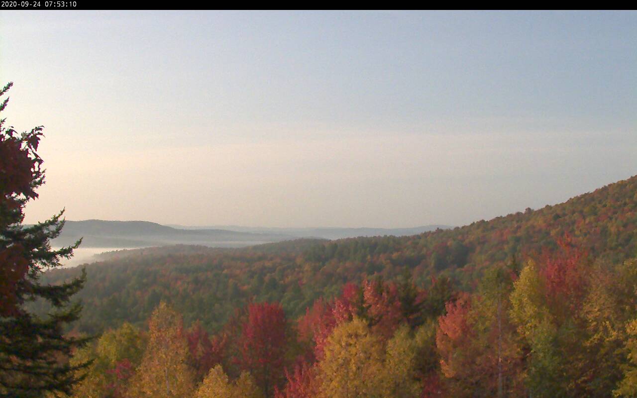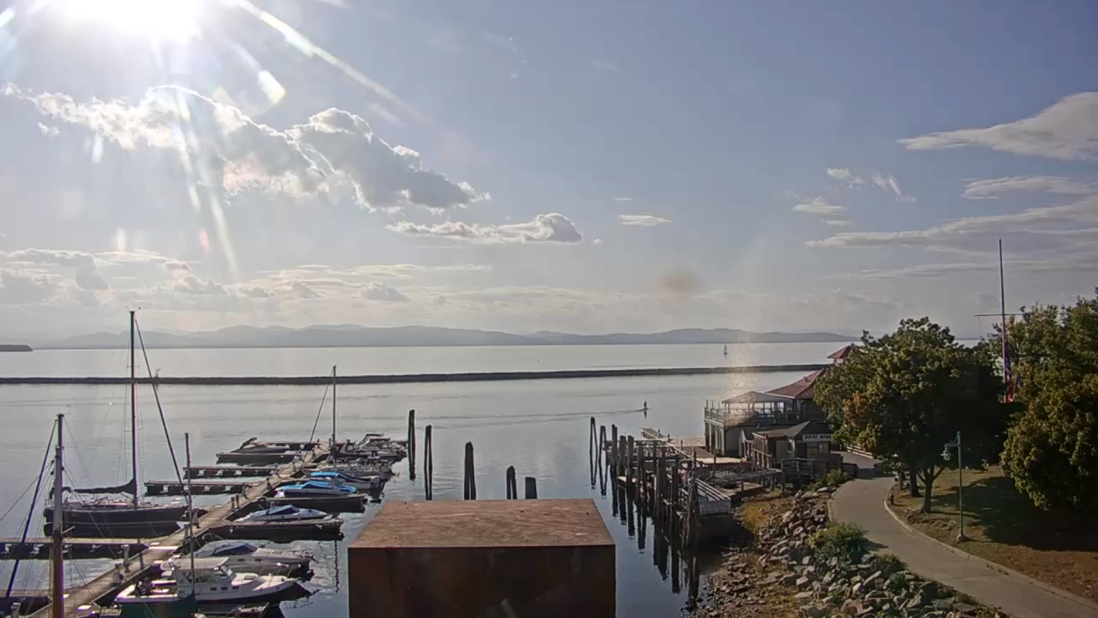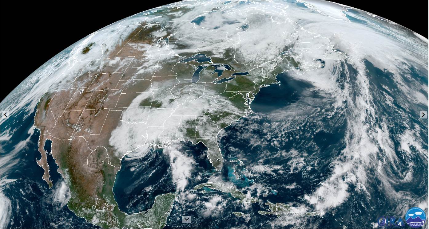
TODAY: Considerable clouds & rather muggy. Widely scattered showers, mainly this morning. Intervals of sunshine away from the mountain late. A high in the mid to upper 70s. South to southeast winds 10 to 20 mph.
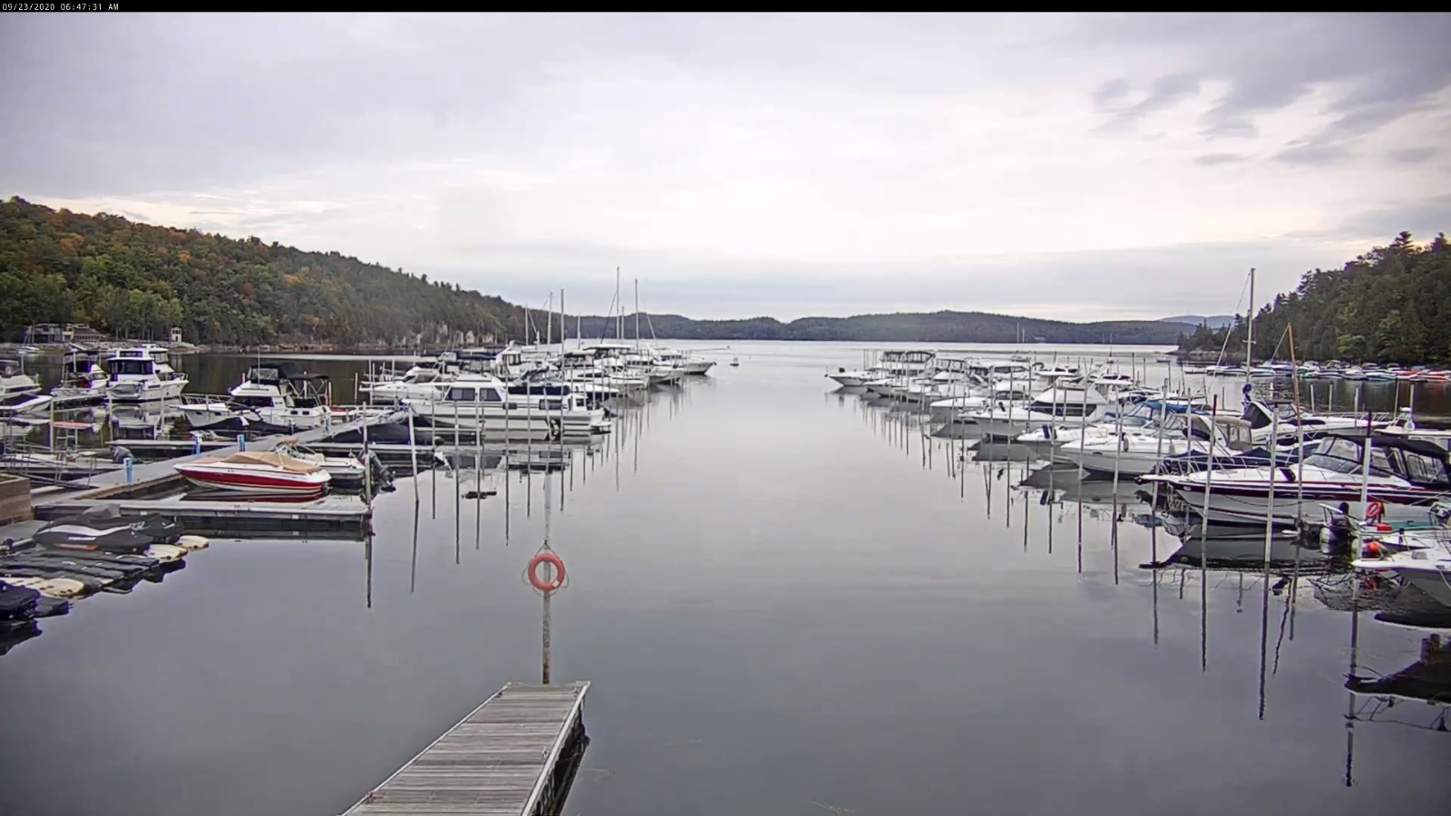
TONIGHT: Partly cloudy this evening then more clouds overnight. Continued humid. A low around 60. South winds 10 mph.
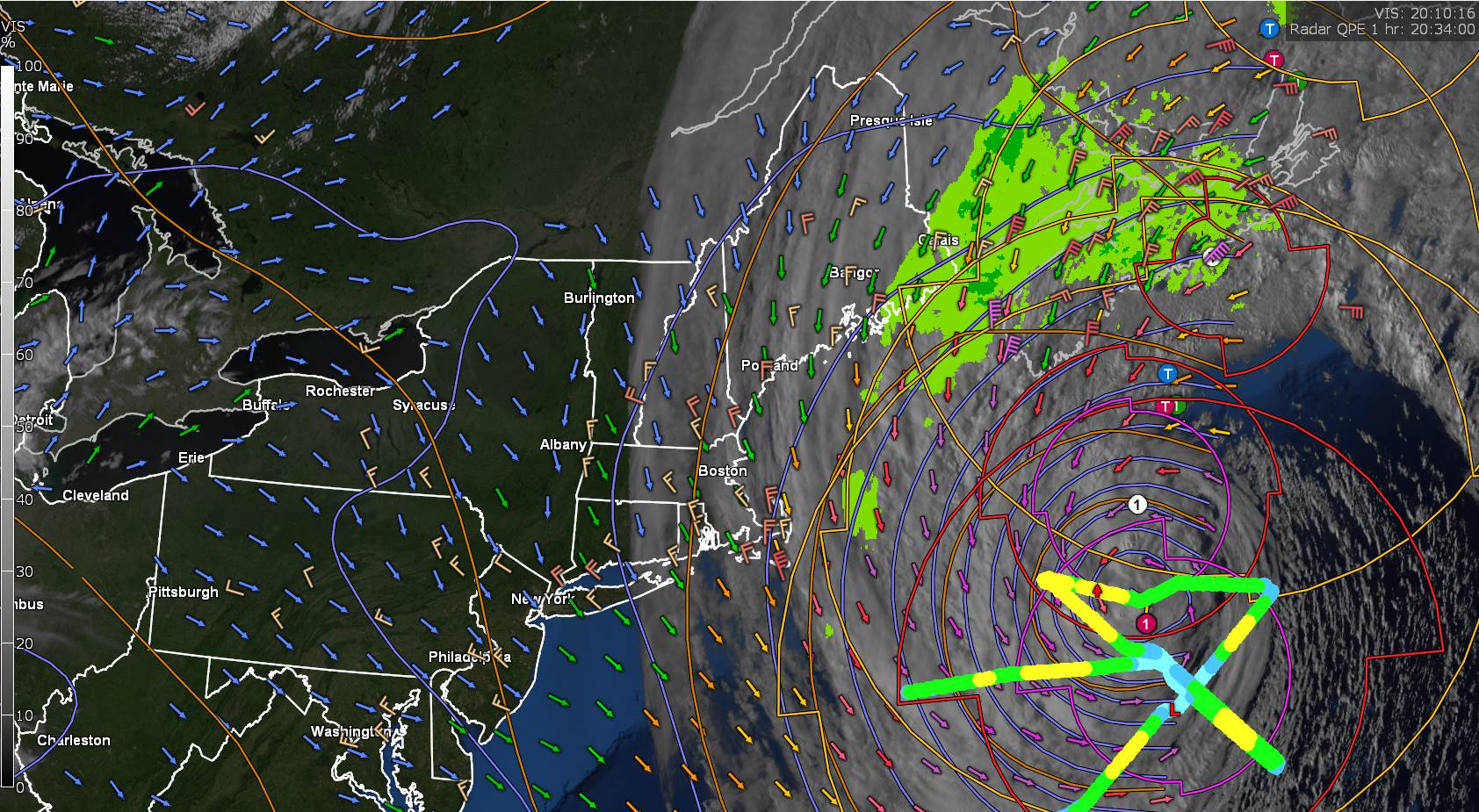
TUESDAY: Mainly cloudy & continued humid. A rising chance for showers…possibly moderate at times northern western areas later on. A high in the upper 70s. South to southwest winds 10 to 25 mph with few higher gusts northern areas.
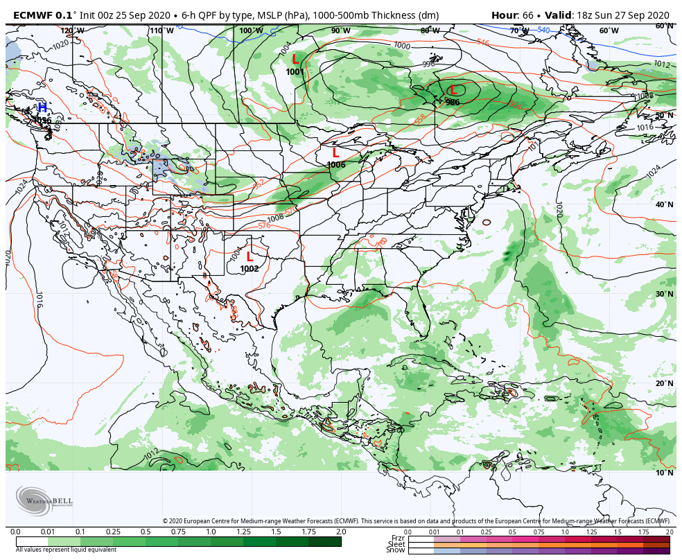
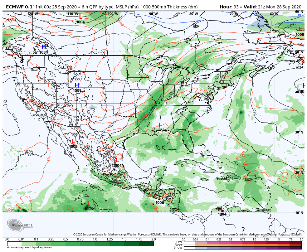
Looking further ahead…
TUESDAY NIGHT: Overcast. Periods of intermittent rain likely, possibly moderate for a time. Cooler. A low in the low to mid 50s.
WEDNESDAY: Cloudy and gray. Occasional showers or intermittent rain. A high around 65.
THURSDAY: Mixed sunshine and clouds after morning fog. Chance for a leftover shower. A low near 45. A high 60 to 65.
FRIDAY: Clouds with a few breaks of sun. A low around 40. A high in the mid-50s.
Average low 40 to 45, Average highs in the upper 50s to mid-60s.
RH/9-28 category forecast][end]