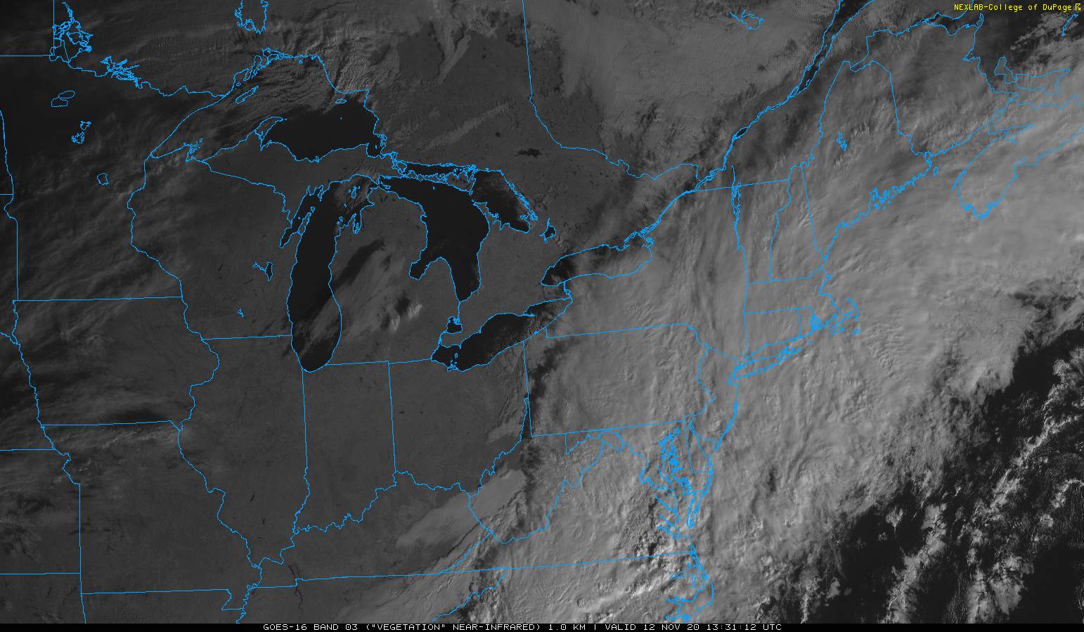
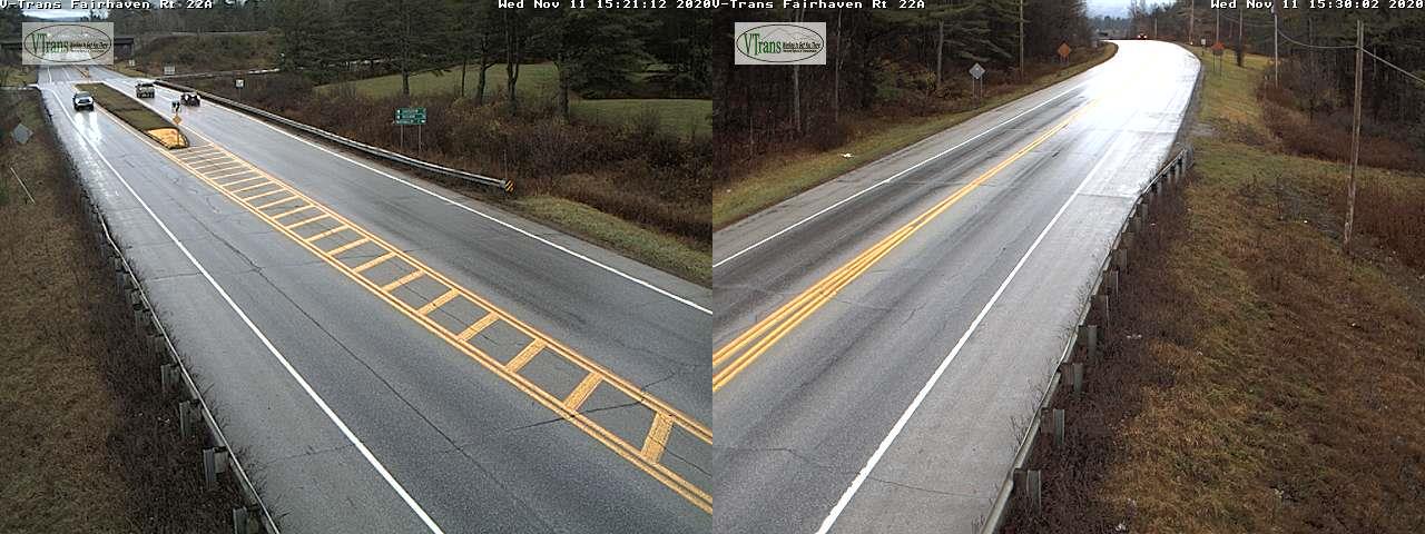
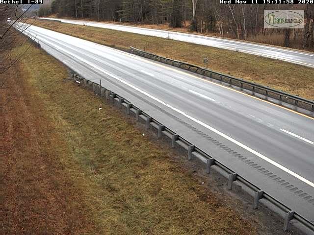
TODAY: Mostly cloudy & blustery. Scattered rain showers occasionally mixed with wet snowflakes Barre-Montpelier area north. A high 40 to 45. West to southwest winds 10 to 25 mph.
TONIGHT: Scattered rain & snow showers mainly northern areas some minor accumulation higher terrain with possible slippery spots. Otherwise mostly cloudy. A low upper 20s to around 30. Southwest winds 10 mph.
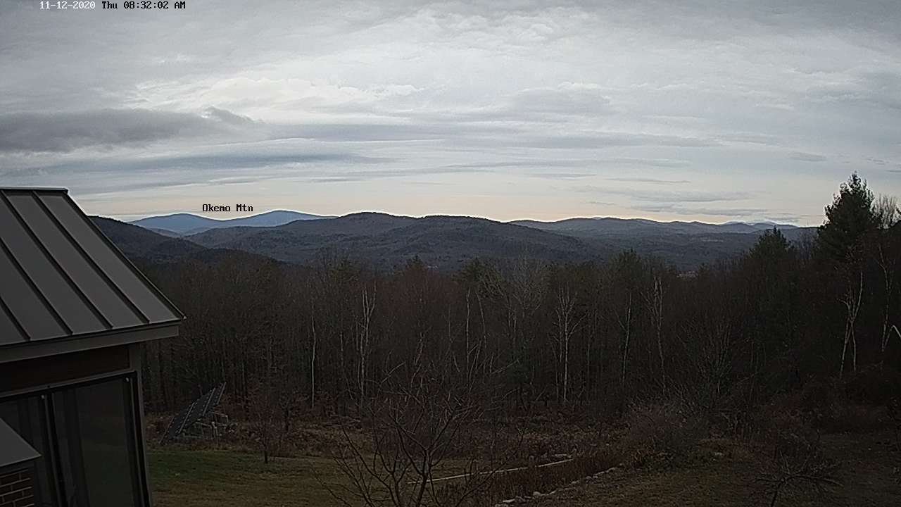
TUESDAY: Mostly cloudy. Scattered snow showers or flurries. Dusting to an inch, northern higher terrain & possible slick travel in the morning. A high in the mid-30s. West to northwest winds 10 mph.
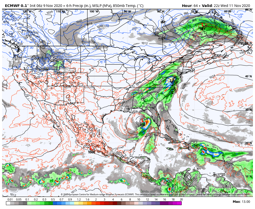
Looking further ahead…

TUESDAY NIGHT: Considerable cloudiness. A low 20 to 25.
WEDNESDAY: Lots of clouds, giving way to partial late day clearing. Well below normal with a high in the mid to upper 20s.
THURSDAY: Partly to mostly cloudy & cold. A low mid-teens to near 20. A high upper 30s.
FRIDAY: Mostly cloudy. A low around 32. A high pushing to near 50.
Average low mid 20s to around 30, Average highs in the low to mid 40s
RH/11-16 category forecast][end]