
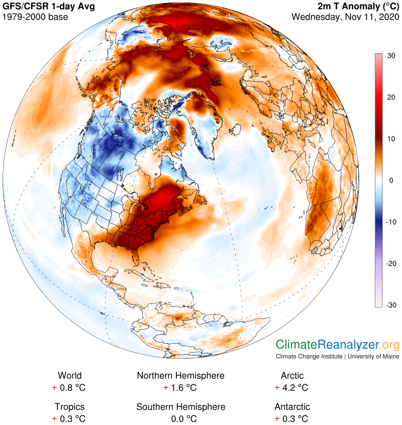
TONIGHT: Scattered evening showers dries up around midnight. Partial clearing toward daybreak. Patchy valley fog. A low near 45. Winds becoming northwesterly 10 mph.
TOMORROW: Intervals sun otherwise lots of clouds. Temperatures in the mid-40s. Northwest winds 10 mph.
THURSDAY NIGHT: Partly cloudy. A low around 30. Light northeast winds.
FRIDAY: More clouds than sun. A high 40 to 45. Southeasterly breeze 10 mph.
Looking further ahead…
FRIDAY NIGHT: Partly cloudy. A low near 32.
SATURDAY: More clouds than sun. Chance for a brief shower, mixed with wet snow flakes higher northern terrain. A high 40 to 45.
SUNDAY: Lots of clouds. Rising chance for showers…few wet snowflakes high terrain. A low 25 to 30 early…then temperatures rising into the mid-40s.
MONDAY: Clouds mixed with sunny intervals. Chance for a sprinkle valleys & wet snow flakes in the hills. A low around 35. A high near 45.
Average low ranging mid-20s to low-30s, Average highs mid to upper 40s.
RH/11-11 category forecast][end]
 Weathering Heights, Roger Hill's weather forecasting service