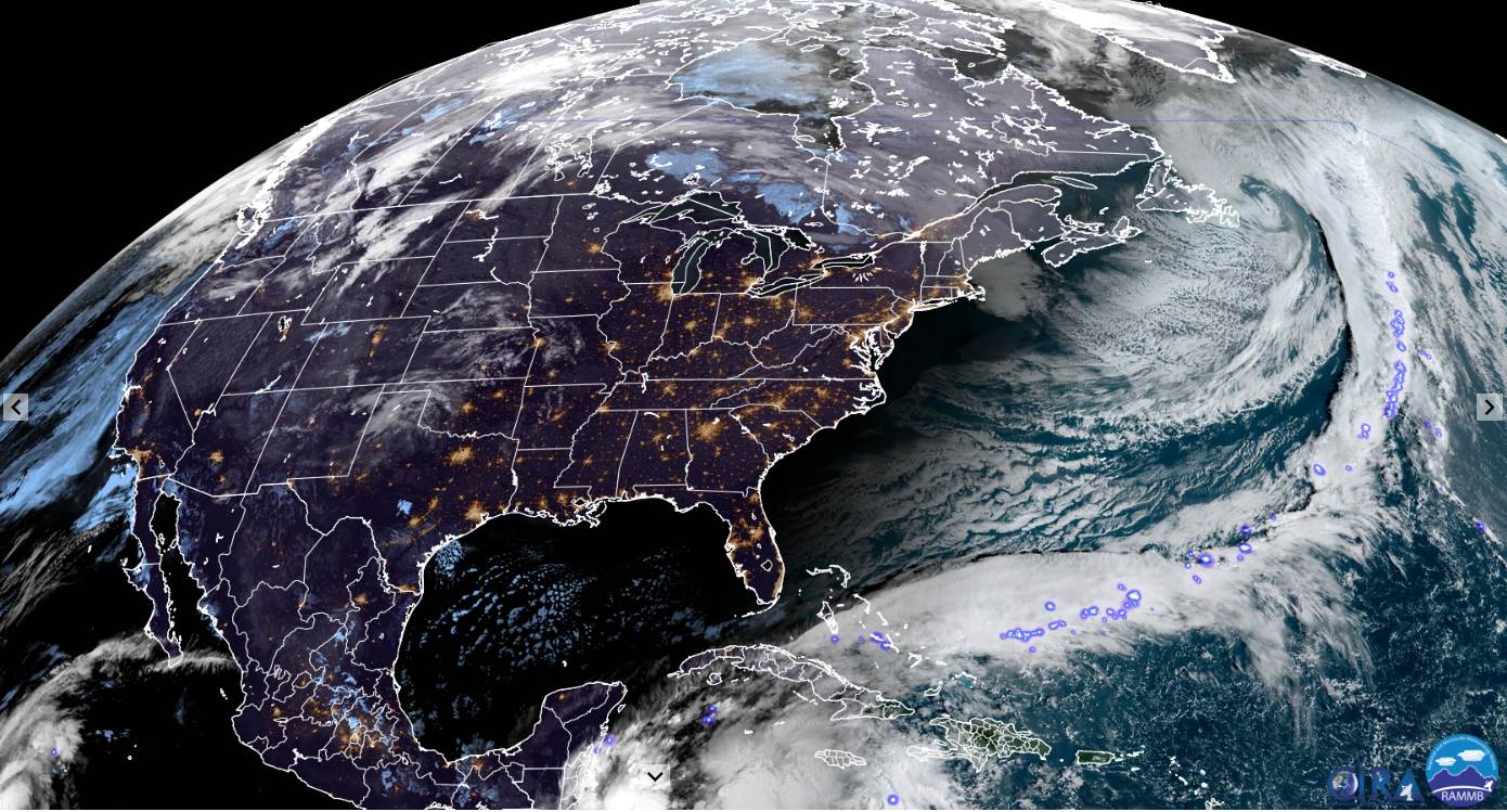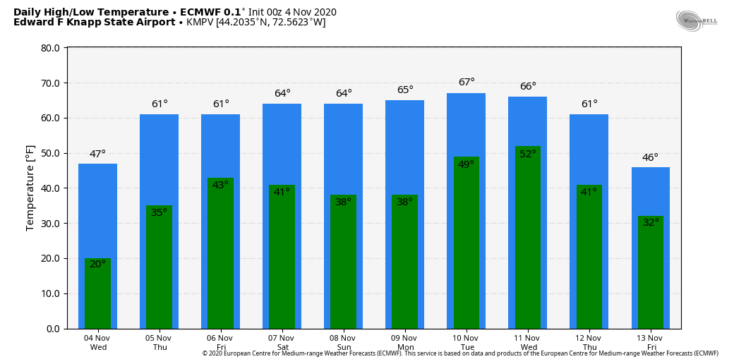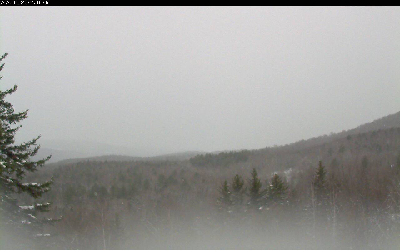
TODAY: Areas of dense valley fog burns off to bright sunshine. Warm. Near record high temperatures around 70. Light southwest winds.
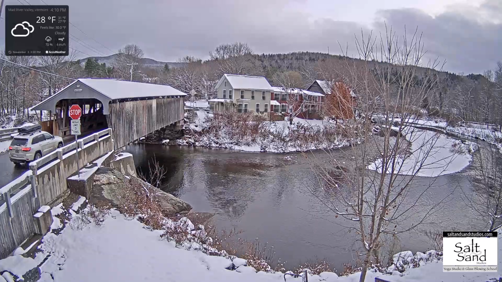
TONIGHT: Clear skies. Patchy valley fog. A low 40 to 45. Light south winds.
TUESDAY: Mostly sunny after morning fog. Near record high temperatures 70 to 75. South to southwest breeze 10 mph.
Looking further ahead…
TUESDAY NIGHT: Increasing clouds. A low in the low 50s.
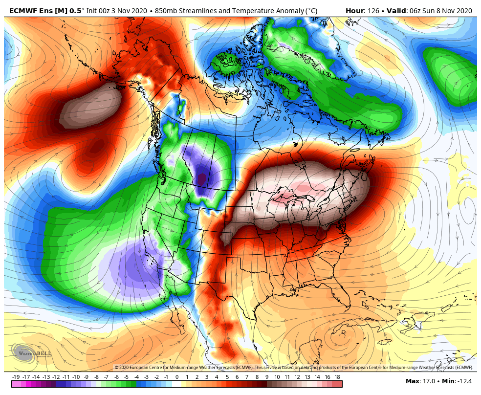
WEDNESDAY: Cloudy. A period of light scattered showers developing in the afternoon. A high mid-60s to near 70.
THURSDAY: Considerable cloudiness. Slight chance for a shower early. A low around 40. A high 55 to 60.
FRIDAY: Mixed sun and clouds. A low in the upper 20s. A high in the low to mid 50s.
SATURDAY: Bright sunshine blue skies but colder. A low around 30. A high around 40.
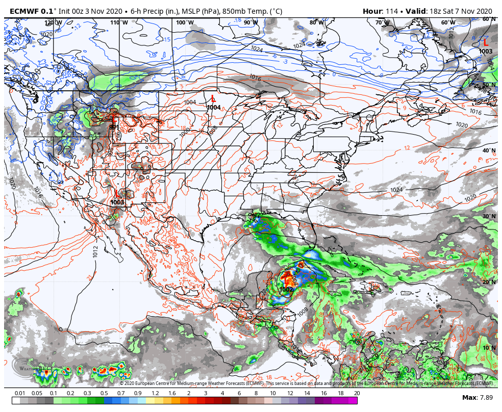
SUNDAY: Thickening clouds. Slight chance for showers in the afternoon. A low near 30. A high around 40.
Average low ranging mid-20s to low-30s, Average highs mid to upper 40s.
RH/11-9 category forecast][end]