
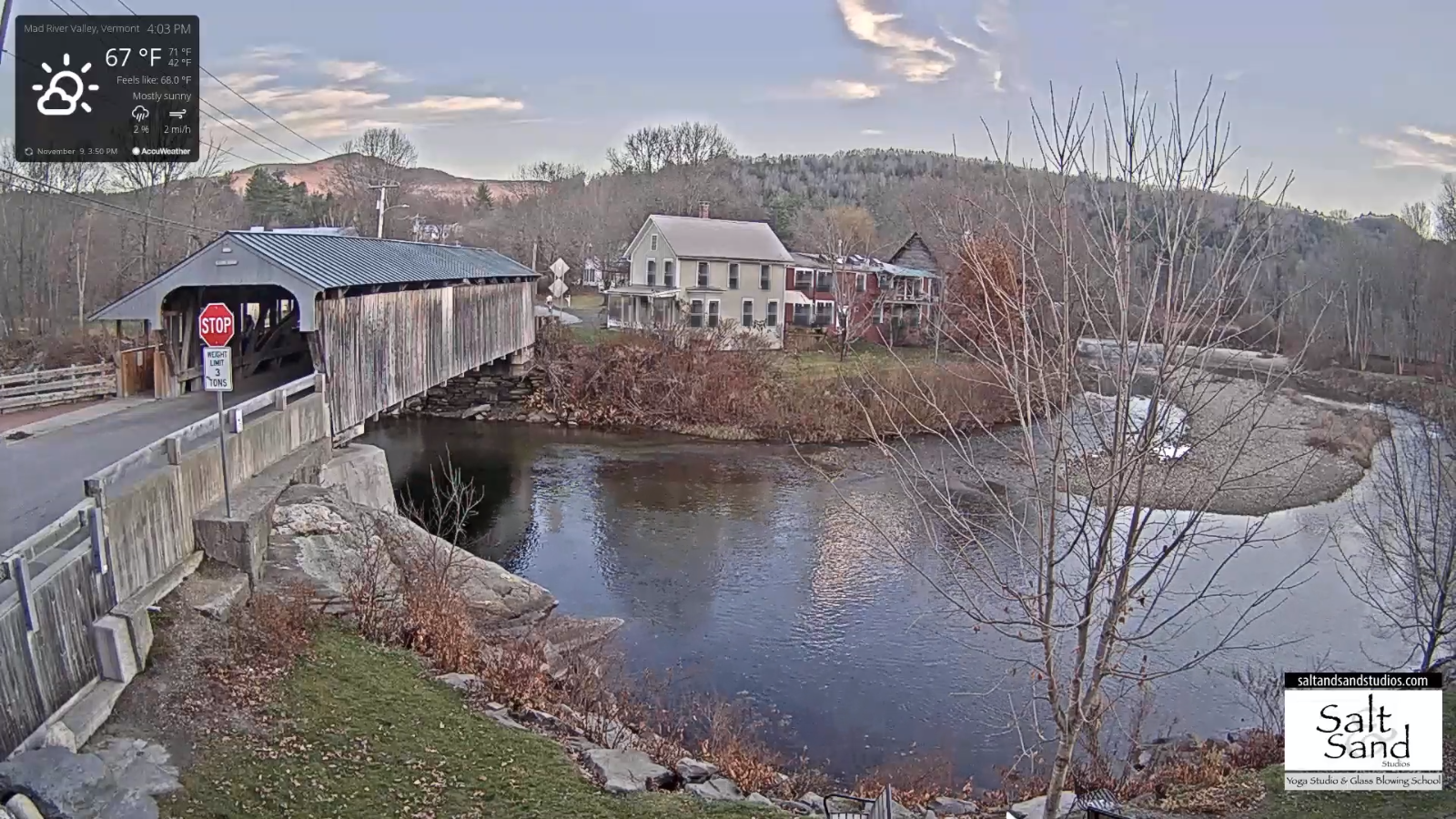
TONIGHT: Clear skies. Patchy valley fog. A low 40 to 45. Light south winds.
TOMORROW: Mostly sunny after morning fog. Near record high temperatures in the low 70. South to southwest breeze 10 mph.
TUESDAY NIGHT: Increasing clouds. A low in the low 50s. South breeze 10 mph.
WEDNESDAY: Cloudy. A period of light scattered showers developing in the afternoon. A high in the mid-60s. South winds 10 to 15 mph.
Looking further ahead…
WEDNESDAY NIGHT: Partly to mostly cloudy. A low 35 to 40.
THURSDAY: Intervals sun otherwise lots of clouds. A high around 60.
FRIDAY: Mixed sun and clouds. A low in the upper 20s. A high in the low 50s.
SATURDAY: Mostly sunny with few more clouds northern areas. A low around 30. A high 40 to 45.
SUNDAY: Thickening clouds. Chance for showers in the afternoon possibly mixed with wet snow flakes. A low 25 to 30. A high near 40.
Average low ranging mid-20s to low-30s, Average highs mid to upper 40s.
RH/11-9 category forecast][end]
