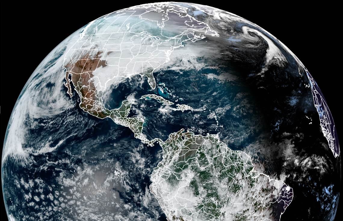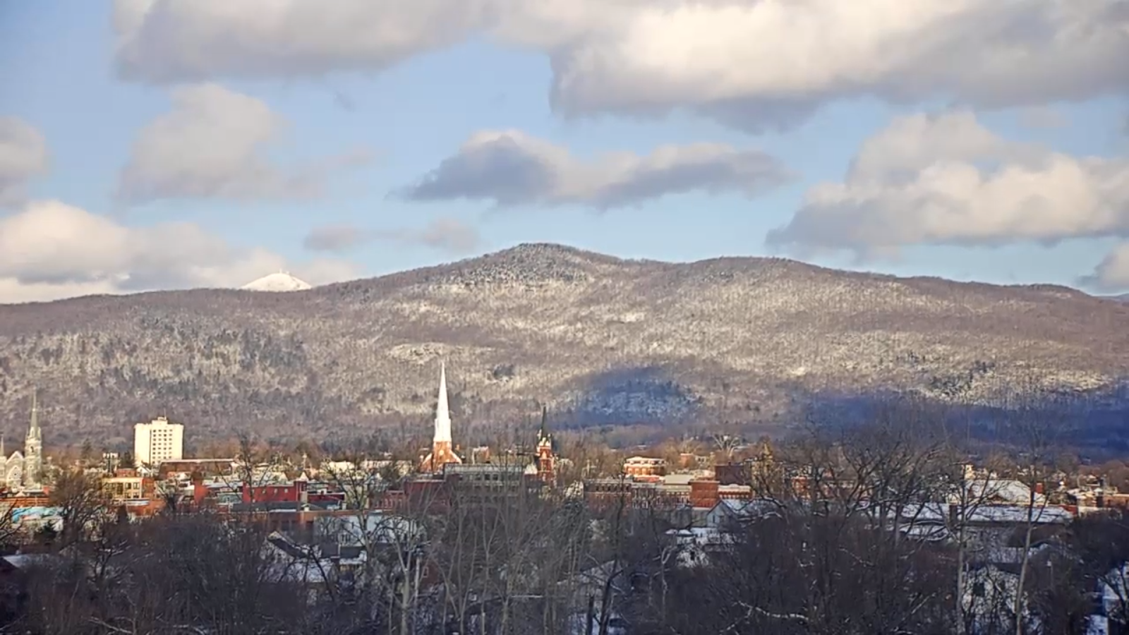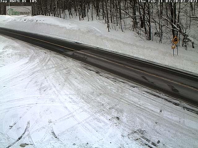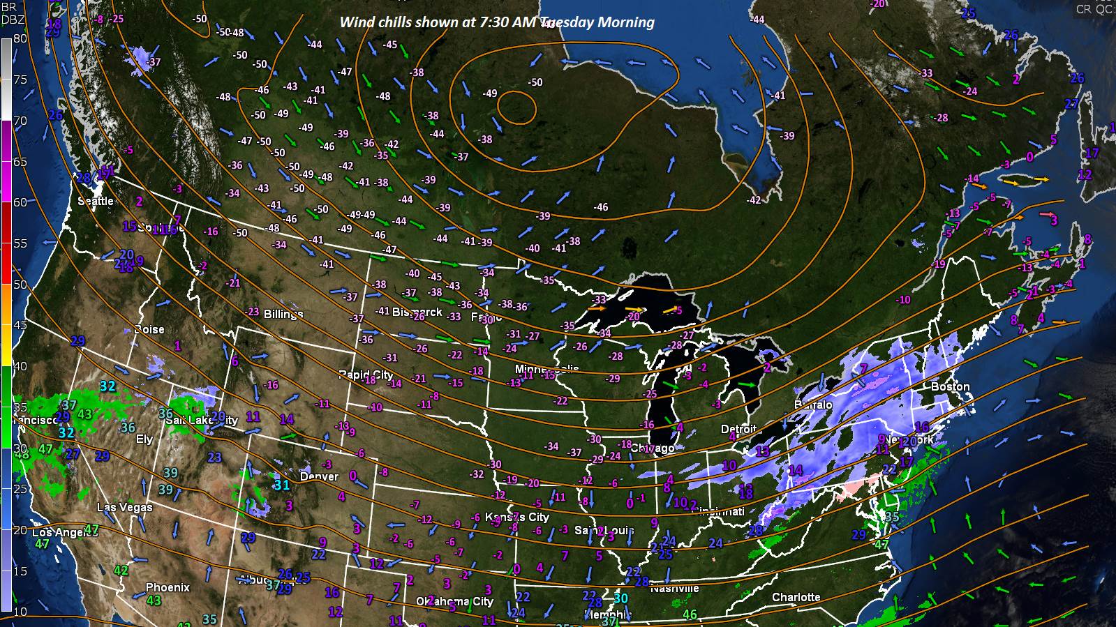
TONIGHT: Mostly clear this evening, then variable high cloudiness. Bitterly cold. A low 10 to 15 below. Light northwest winds.
TOMORROW: Considerable high cloudiness, with a break of sun now and then. A high near 15. Light northwest winds.
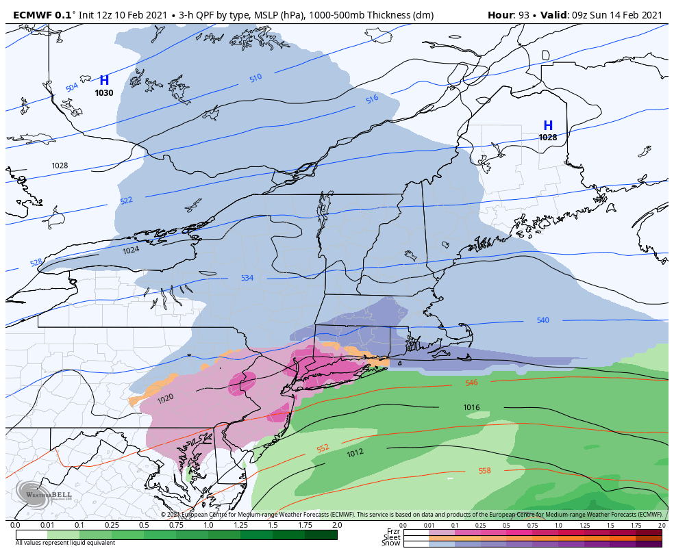
SATURDAY NIGHT: Scattered evening clouds, then clouding up.Flurries or light snow showers becoming likely with minor coating. A low 5 to 10 above. Light east winds.
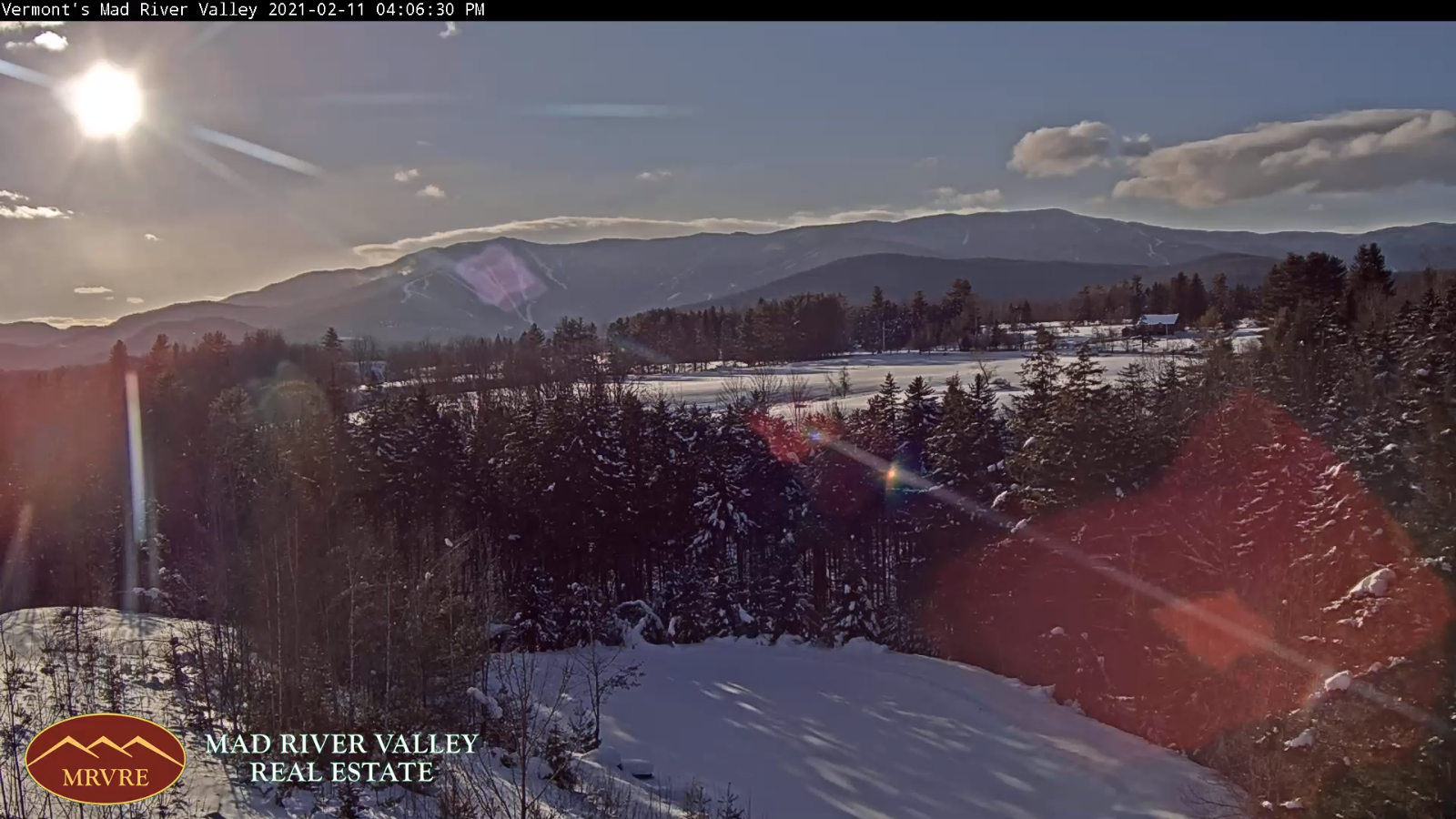
SUNDAY Valentine’s Day: Widely scattered flurries early, then mixed sun and clouds. A high around 25. Light southwest winds.
Looking further ahead…
SUNDAY NIGHT: Mostly clear. A low around 10 above.
MONDAY: Variable clouds then clouding up. A chance for light accumulating snow in the afternoon. A high 20 to 25.
TUESDAY: Cloudy & becoming blustery late. Chance for accumulating snow. a few to several inches possible. A morning low in the teens. A high 20 to 25.
WEDNESDAY: Morning clouds with a leftover flurry, then becoming partly to mostly sunny. A low zero to 10 above. A high in the upper teens to low 20s.
Average low ranging 5 to 15 above, Average highs about 25 into the mid-30s
End of Winter March 9th… based off local climatology.
RH/2-11category forecast][end]