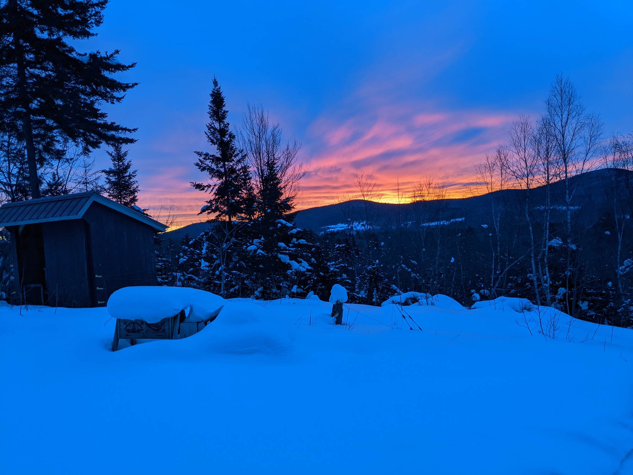
TONIGHT: Variably cloudy. Another round of snow showers. Accumulations around an inch. A low 15 to 20. Light southwest winds.
TOMORROW: Scattered flurries far northern areas with light skiff of snow. Otherwise clouds with a few breaks of sunshine. A high 20 to 25. West to southwest winds 10 to 15 mph.
SATURDAY NIGHT: Partly cloudy. A low 5 to 10 above. Light southwest winds.
SUNDAY: Considerable cloudiness. Occasional snow showers with a dusting to 2 inches. Temperatures in the low to mid 20s. Southeast winds 10 mph.
Looking further ahead…
SUNDAY NIGHT: Evening clouds breaking up, becoming mostly clear overnight. A low around 10 above.
MONDAY: Sunshine mixed in with high clouds. Colder. A high in the mid to upper teens.
TUESDAY: Clouding up. Chance for snow, developing in the afternoon. A few fluffy inches possible. A low zero to 10 below. A high in the lower 20s.
WEDNESDAY: Gray. Chance for snow in the morning exiting as flurries later in the afternoon. Additional accumulation couple inches possible. A low in the teens. A high in the 20s.
Average low ranging mid-single digits to low teens, Average highs mid-20s to low 30s.
End of Winter March 9th… based off local climatology.
RH/2-5 category forecast][end]