Updated Wednesday morning Forecast — June 2nd, 2021

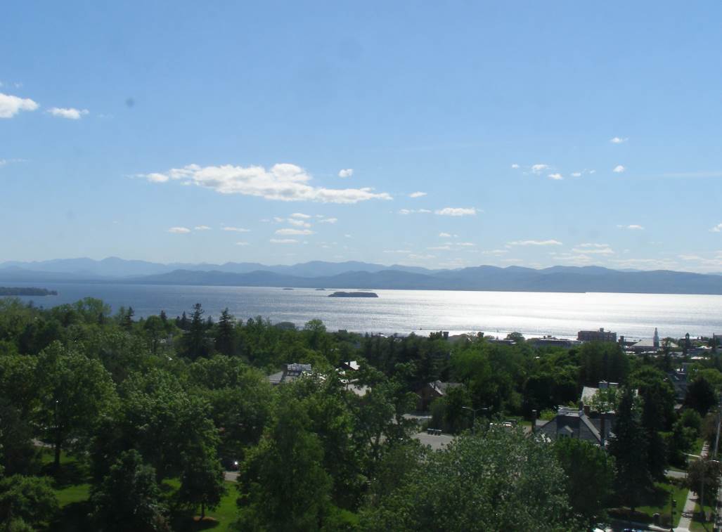
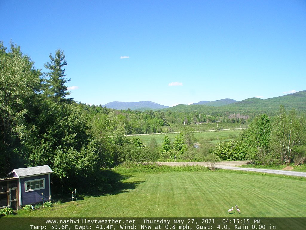
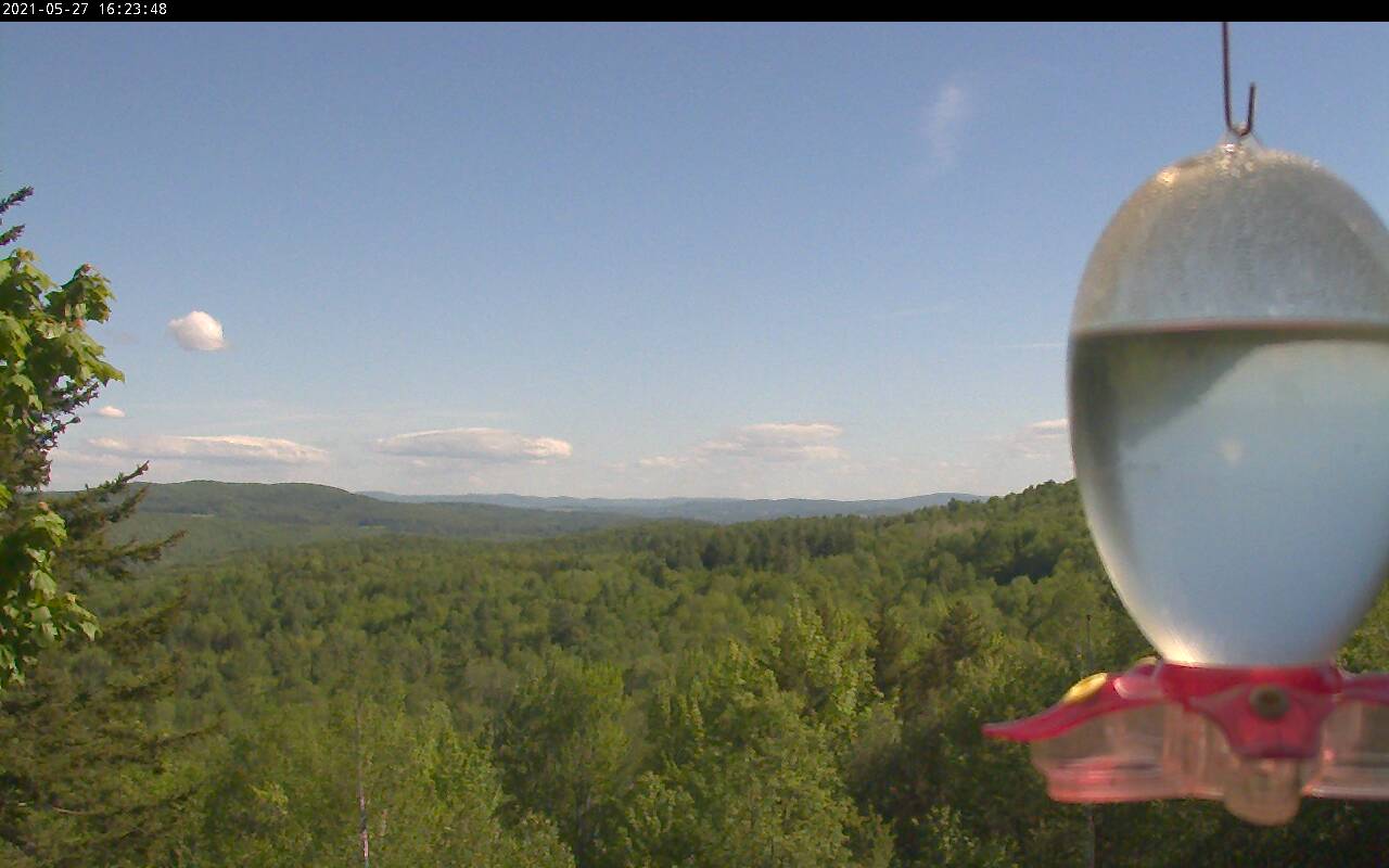
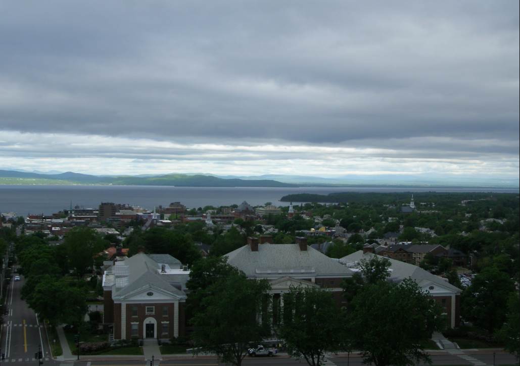
TODAY: Sunshine this morning, becoming filtered thru high clouds…thickening up this afternoon. Milder. A high in the mid to upper 70s. Southwest breeze 10 mph.

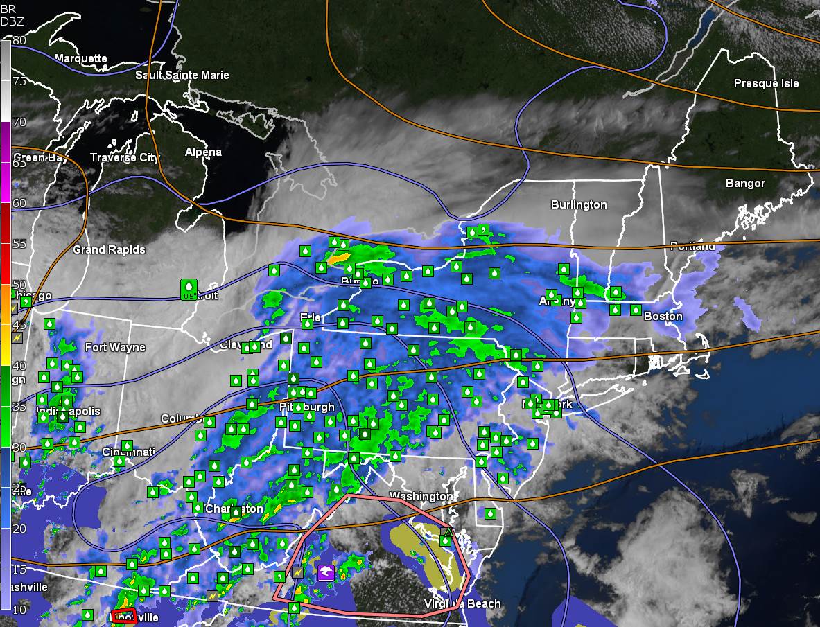
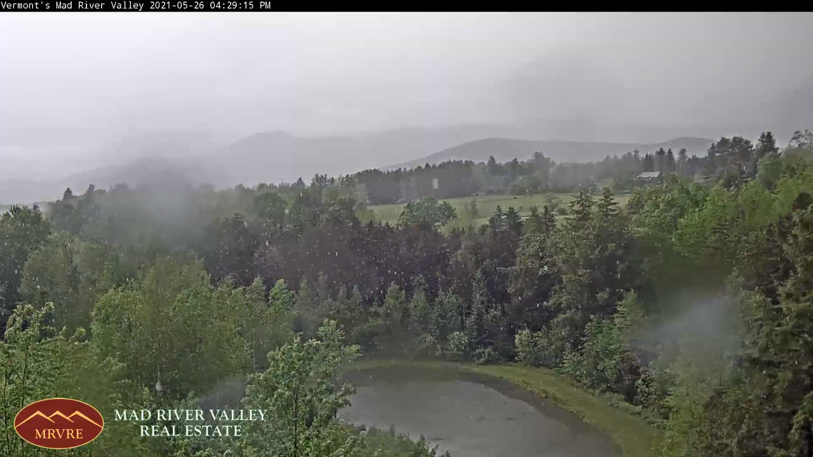
TONIGHT: Overcast. A round of showers developing around or after midnight. A low in the mid-50s. Light south winds.

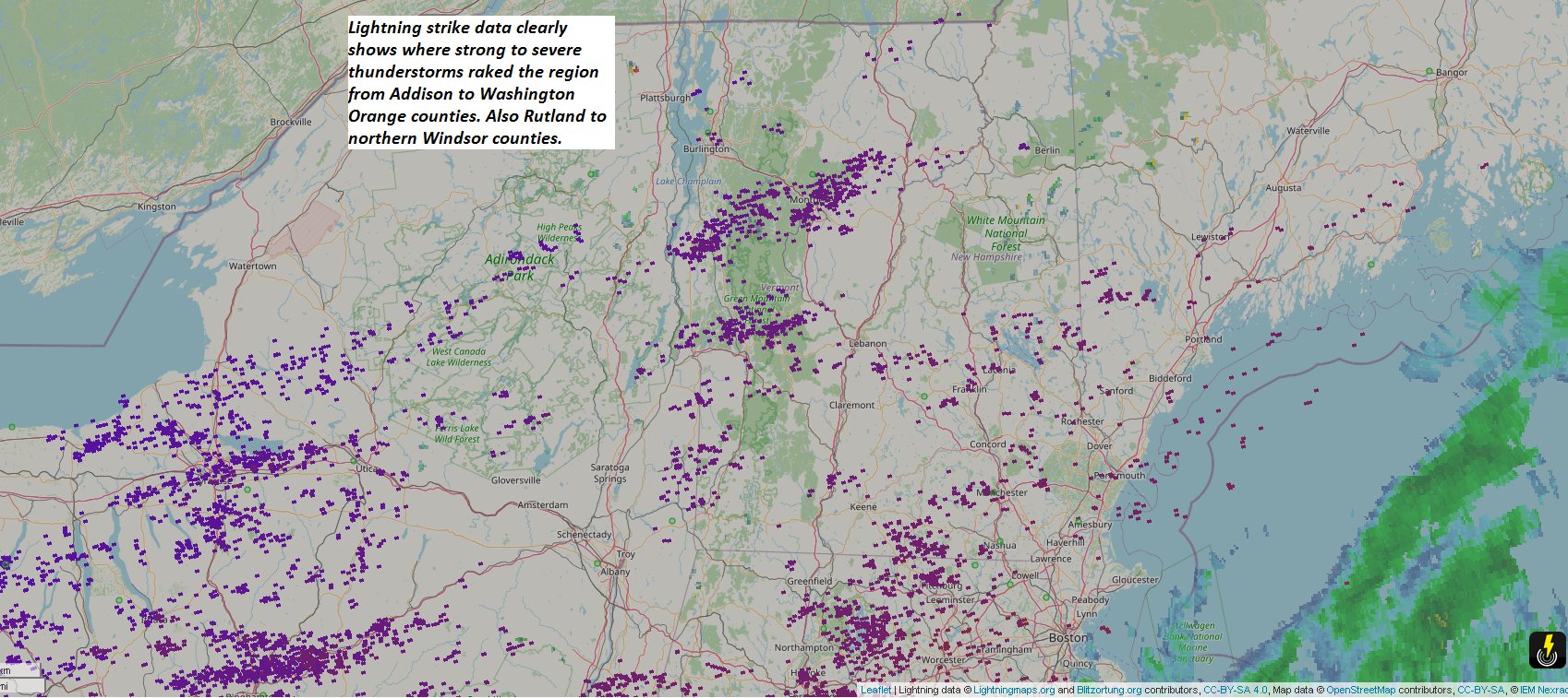
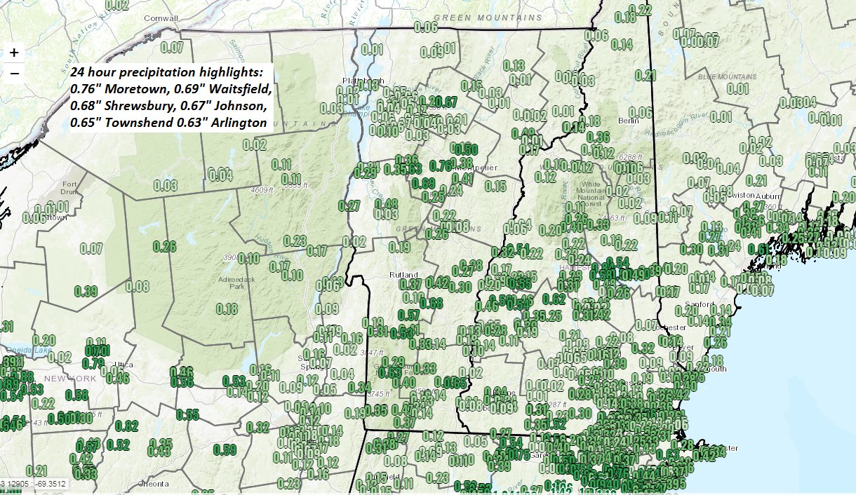
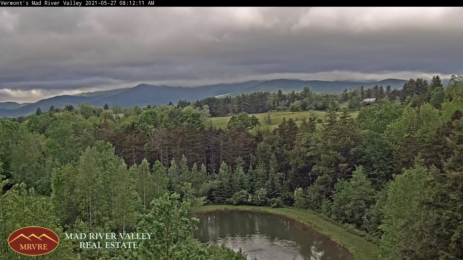
THURSDAY: Mainly cloudy & slightly muggier. Scattered showers, with a risk for thunderstorms late. A high near 70. South winds 10 to 15 mph.

Looking further ahead…

THURSDAY NIGHT: Mainly cloudy. A period of showers and thunderstorms likely…some locally heavy, winding down overnight. A low around 60.

FRIDAY: Morning clouds with scattered showers and isolated thunderstorms, mainly southern areas. Otherwise becoming mostly sunny warm and humid. A high mid to upper 70s.

SATURDAY: Morning sun with a few afternoon clouds. Warm and muggy. An isolated shower or thunderstorm far northern areas toward evening. A low 55 to 60. A high in the low 80s.

SUNDAY: Mixed sun and clouds. Isolated afternoon thunderstorms. A low around 65. A high 85 to 90.

MONDAY: Partly to mostly sunny. Hazy hot and humid. A low near 65. A high around 90.

Average low 50 to 55. Average highs low to mid-70s.

Start of Meteorological Summer June 6th… Summer peaks approx.. July 22nd based off local climatology.

RH/6-2forecast][end]

Updated Tuesday Evening Forecast — June 1st, 2021

TONIGHT: Clear skies with some high clouds toward morning. Patchy dense valley fog. A low in the mid-40s. Light southwest winds.

TOMORROW: Filtered sun thru high clouds…thickening up in the afternoon. Milder. A high in the mid to upper 70s. Southwest breeze 10 mph.

WEDNESDAY NIGHT: Mostly cloudy. A round of showers likely…after midnight. A low around 55. Light south winds.

THURSDAY: Mainly cloudy & slightly muggier. Good chance for showers, maybe an isolated rumble of thunder late. A high around 70. South winds 10 to 15 mph.

Looking further ahead…

THURSDAY NIGHT: Cloudy. A chance for evening showers and thunderstorms. A low 55 to 60.

FRIDAY: Morning clouds with scattered showers and thunderstorms, giving way to increasing afternoon sun. Moderately warm and bit more humid. Maybe a late day thunderstorm. A high around 75.

SATURDAY: Partly sunny warm and muggy. Maybe a late day and evening shower or thunderstorm. A low 55 to 60. A high around 80.

SUNDAY: Mixed sun and clouds. Slight chance for an afternoon shower or thunderstorm. A low 60 to 65. A high around 85.

MONDAY: Lots of sunshine. Hazy hot and humid. A low near 65. A high around 90.

Average low 50 to 55. Average highs low to mid-70s.

Start of Meteorological Summer June 6th… Summer peaks approx.. July 22nd based off local climatology.

RH/6-1forecast][end]

Updated Tuesday Morning Forecast — June 1st, 2021

TODAY: Morning fog & low clouds gives way to afternoon sunshine. A few isolated showers possible but milder this afternoon A high in the upper 60s to around 70. Light southwest winds.

TONIGHT: Clear skies with some high clouds toward morning. Patchy dense valley fog. A low in the mid-40s. Light southwest winds.

WEDNESDAY: Filtered sun thru high clouds…thickening up in the afternoon. Milder. A high in the mid to upper 70s. Southwest breeze 10 mph.

Looking further ahead…

WEDNESDAY NIGHT: Mostly cloudy. Rising chance for showers. A low around 55.

THURSDAY: Mainly cloudy & muggier. Chance for showers, maybe an isolated rumble of thunder in the afternoon into Thursday night. A high 70 to 75.

FRIDAY: Morning clouds. Scattered morning showers and thunderstorms, gives way to partial afternoon sun, warm and humid. Chance for late day thunderstorms. A low around 60. A high in the 70s.

SATURDAY: Partly sunny warm and muggy. Maybe a late day and evening shower or thunderstorm. A low 55 to 60. A high around 80.

SUNDAY: Mixed sun and clouds. Slight chance for an afternoon shower or thunderstorm. A low 60 to 65. A high around 85.

MONDAY: Hazy warm and humid A low near 65. A high mid-80s to near 90.

Average low 50 to 55. Average highs low to mid-70s.

Start of Meteorological Summer June 6th… Summer peaks approx.. July 22nd based off local climatology.

RH/6-1forecast][end]

Updated Monday Morning Forecast — May 31st Memorial Day, 2021

TODAY: Scattered pockets of drizzle and light showers along and east of the Green Mountains…otherwise remaining cloudy, damp and cool with areas of morning fog. A high in the mid-50s. Light north to northwest winds.

TONIGHT: A few lingering showers this evening eastern areas, otherwise lots of clouds. Patchy valley fog. A low 40 to 45. Light south winds.

TUESDAY: Morning fog and low clouds, then periods of afternoon sun. A high in the upper 60s to low 70s. Southwest breeze 10 mph.

Looking further ahead…

TUESDAY NIGHT: Mostly clear. Patchy dense valley fog. A low in the mid to upper 40s.

WEDNESDAY: Filtered sunshine thru high clouds…thickening up in the afternoon. Milder. A high in the mid-70s.

THURSDAY: Overcast. Chance for showers, with a risk of few rumbles of thunder. A low 55 to 60. Muggier. A high 70 to 75.

FRIDAY: Mostly cloudy, warm and humid. Scattered showers & mainly afternoon thunderstorms. A low near 60. A high 75 to 80.

SATURDAY: Partly sunny warm and muggy. Scattered showers and thunderstorms. A low around 60. A high 80 to 85.

Average low upper 40s to low 50s. Average highs upper 60s to mid-70s.

Start of Meteorological Summer June 6th… Summer peaks approx.. July 22nd based off local climatology.

RH/5-31forecast][end]

Updated Friday Evening Forecast — May 28th, 2021

TONIGHT:Cloudy. Showers likely southern portions. A low ranging 35 to 40.Light northeast winds.

TOMORROW: Morning showers southern areas exits, otherwise clouds in the morning, giving way to periods of afternoon sun. Still rather chilly. A high upper 50s to near 60. Light northeast winds.

SATURDAY NIGHT: Mostly clear northern areas in the evening giving way to more clouds overnight. Isolated areas of fog. A low in the mid-30s, with pockets of frost possible northern areas. Light east winds.

SUNDAY: Considerable cloudiness. Occasional light showers southern areas late morning reaching the Quebec border late. Dry parts of the Champlain Valley. Very chilly. A high in the low to mid 50s. Light east winds.

Looking further ahead…

SUNDAY NIGHT: Cloudy. Considerable valley fog. Scattered showers or sprinkles.

MONDAY MEMORIAL DAY: Mainly cloudy. Milder trend. A low around 45. Warmer. A high mid-60s.

TUESDAY: Morning fog and low clouds, then intervals of sun. A low around 45. A high in the lower 70s.

WEDNESDAY: More sun than clouds. A low around 45. A high in the mid-70s.

Average low upper 40s to low 50s. Average highs upper 60s to mid-70s.

Start of Meteorological Summer June 6th… Summer peaks approx.. July 22nd based off local climatology.

RH/5-28forecast][end]

Updated Friday Morning Forecast — May 28th, 2021

TODAY: Thickening clouds and chilly with frost northern hollows early. Some light showers developing toward Rutland late. Well below normal in temperature. A high around 55. Light northwest winds.

TONIGHT:Cloudy. Showers likely southern portions. A low ranging 35 to 40.Light northeast winds.

SATURDAY: Gray skies early gives way to filtered sunshine through high clouds. Scattered morning showers far southern areas exits. Dry & still cool otherwise. A high upper 50s to near 60. Light northeast winds.

Looking further ahead…

SATURDAY NIGHT: Mostly clear northern areas in the evening giving way to more clouds overnight. A low in the mid-30s, with pockets of frost possible northern areas.

SUNDAY: Considerable cloudiness. Scattered light showers southern areas overspreading most of the region. Very chilly. A high in the low to mid 50s.

MONDAY MEMORIAL DAY: Lots of clouds giving way to late day sunshine. Milder trend. A low around 45. Warmer. A high mid-60s.

TUESDAY: Morning clouds then intervals of afternoon sun. A low around 45. A high in the lower 70s.

WEDNESDAY: Mixed sun and clouds. A low around 45. A high in the mid-70s.

Average low upper 40s to low 50s. Average highs upper 60s to mid-70s.

Start of Meteorological Summer June 6th… Summer peaks approx.. July 22nd based off local climatology.

RH/5-28forecast][end]

Updated Thursday Evening Forecast — May 27th, 2021

TONIGHT: Mostly clear & moonlit with a few high clouds overnight. A low mid-30s to around 40. Isolated frost possible northern hollows. Light north to northwest winds.

TOMORROW: Thickening clouds and rather chilly. Chance for light showers south of the Barre-Montpelier area developing late. Rather cool. A high around 55. Light northwest winds.

FRIDAY NIGHT:Cloudy. Showers likely southern portions. A low ranging upper 30s to low 40s.Light northeast winds.

SATURDAY: Gray skies early gives way to filtered sunshine through high clouds. Chance for showers far south early. Dry but still cool. A high upper 50s to around 60. Light northeast winds.

Looking further ahead…

SATURDAY NIGHT: Mostly clear northern areas high clouds south. A low 35 to 40. Isolated frost possible northern hollows.

SUNDAY: Sunshine then some afternoon clouds. Cool. A high in the mid-60s.

MONDAY MEMORIAL DAY OUTLOOK: Lots of clouds. Chance for showers. Partial clearing late. A low around 45. A high 65 to 70.

TUESDAY: Mostly cloudy with intervals of afternoon sun. A low around 45. A high in the lower 70s.

Average low mid-40s to around 50. Average highs upper 60s to lower 70s.

Start of Meteorological Summer June 6th… Summer peaks approx.. July 22nd based off local climatology.

RH/5-27forecast][end]

Updated Thursday Morning Forecast — May 27th, 2021

TODAY: An early sprinkle northern areas, then sunshine mixed with high clouds this afternoon. A bit blustery. A high 60 to 65. North to northwest winds 10 to 20 mph.

TONIGHT: Mostly clear partially moonlit skies gives way high cloudiness. A low mid-30s to around 40. Isolated frost possible northern hollows. Light north winds.

FRIDAY: Gray and rather chilly. Chance for light showers south of the Barre-Montpelier area in the afternoon. Rather cool. A high in the low to mid 50s. Light northwest winds.

Looking further ahead…

FRIDAY NIGHT:Cloudy. Chance for lingering showers southern areas. A low 35 to 40…coldest northern hollows.

SATURDAY: Gray skies early gives way to filtered sunshine through high clouds Dry but still cool. A high upper 50s to around 60.

SUNDAY: Sunshine then some afternoon clouds. Cool. A low mid-30s to around 40. A high around 65.

MONDAY MEMORIAL DAY OUTLOOK: Considerable cloudiness. Chance for showers. Partial clearing in the afternoon. A low around 45. A high around 65.

TUESDAY: Clouds mixing with periods of sun. A low 45 to 50. A high low to mid 70s.

Average low mid-40s to around 50. Average highs upper 60s to lower 70s.

Start of Meteorological Summer June 6th… Summer peaks approx.. July 22nd based off local climatology.

RH/5-27forecast][end]

Updated Wednesday Evening Forecast — May 26th, 2021

Severe Thunderstorm Watch South of the Barre-Montpelier area…

TONIGHT: Evening showers and a few thunderstorms wind down central and southern areas, then partially moonlit, before a chance for showers develops toward sun-up. A low in the upper 50s. Southwest winds 10 mph shifting to northwest around sunrise.

TOMORROW: An early sprinkle Northeast Kingdom, gives way to periods of filtered sunshine thru high clouds. A bit blustery. A high upper 50s to mid-60s. North to northwest winds 10 to 20 mph.

THURSDAY NIGHT: Mostly clear partially moonlit skies gives way high cloudiness. A low mid-30s to around 40. Light north winds.

FRIDAY: High cloudiness, but thicker clouds southern areas with a period of showers well south. Rather cool. A high around 55. Light northwest winds.

Looking further ahead…

FRIDAY NIGHT:Clear northern areas with high cloudiness southern areas. A morning low around 35…with a touch of frost coldest hollows

SATURDAY: Filtered sunshine through high clouds, but dry. Still cool. A high 60 to 65.

SUNDAY: Sunshine then some afternoon clouds. Cool. A low 35 to 40. A high mid to upper 60s.

MONDAY MEMORIAL DAY OUTLOOK: Considerable cloudiness. Chance for showers. A low around 45. A high around 60.

Average low mid-40s to around 50. Average highs upper 60s to lower 70s.

Start of Meteorological Summer June 6th… Summer peaks approx.. July 22nd based off local climatology.

RH/5-26forecast][end]

Updated Wednesday Morning Forecast — May 26th, 2021

Full Flower Moon 7:14 AM this morning…

TODAY: Partial morning sun then more clouds. Warm and sticky. Showers and thunderstorms likely northern areas around Noon…spreading south & becoming more numerous this afternoon. Some storms could be strong to locally severe, with gusty winds and hail. Practice lightning safety. A high in the low to mid 80s. Southwest breeze 10 to 20 mph, stronger near Lake Champlain.

TONIGHT: Evening showers and thunderstorms gradually wind down, then clear and moonlit at times.

Another round of showers toward the morning commute. A low in the upper 50s. Southwest winds 10 mph shifting to northwest around sunrise.

THURSDAY: Morning showers, maybe a rumble of thunder early, otherwise becoming mostly sunny, less humid, cool & blustery at times. A high 60 to 65. Northwest winds 10 to 20 mph.

Looking further ahead…

THURSDAY NIGHT: Mostly clear partially moonlit skies gives way high cloudiness. A low 35 to 40.

FRIDAY: High cloudiness, but thicker clouds southern areas with a period of showers south of Rutland. Rather cool. A high around 55.

SATURDAY: Mostly sunny, gorgeous but remaining rather cool. A morning low near 35…with a touch of frost coldest hollows. A high 60 to 65.

SUNDAY: Sunshine then some afternoon clouds. Cool. A low in the mid to upper 30s. A high around 65.

MONDAY MEMORIAL DAY OUTLOOK: Considerable cloudiness. Chance for showers especially eastern areas. A low mi 40s to near 50. A high in the low 60s.

Average low mid-40s to around 50. Average highs upper 60s to lower 70s.

Start of Meteorological Summer June 6th… Summer peaks approx.. July 22nd based off local climatology.

RH/5-26forecast][end]