TODAY: Sunshine mixing with afternoon cloudiness. Moderately humid. A high 70 to 75. Light east winds.
TONIGHT: Mostly clear north with patchy valley fog. Partly cloudy south. A low 50 to 55. Light southeast winds.
FRIDAY: Sunshine mixed with more clouds. Isolated mountain sprinkles. A high 70 to 75 and again turning muggy. South breeze 10 mph in the afternoon.
Looking further ahead…
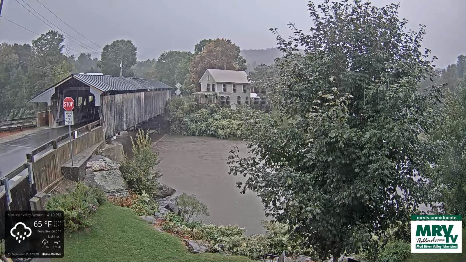
FRIDAY NIGHT: Considerable low cloudiness. Patchy drizzle possible. Increasingly muggy. A low 60 to 65.
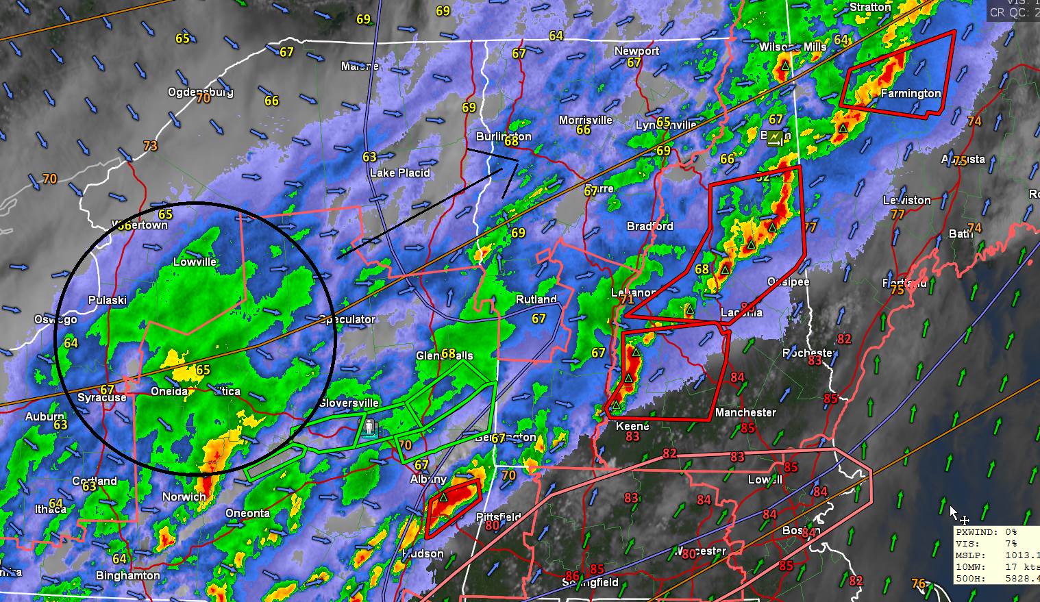
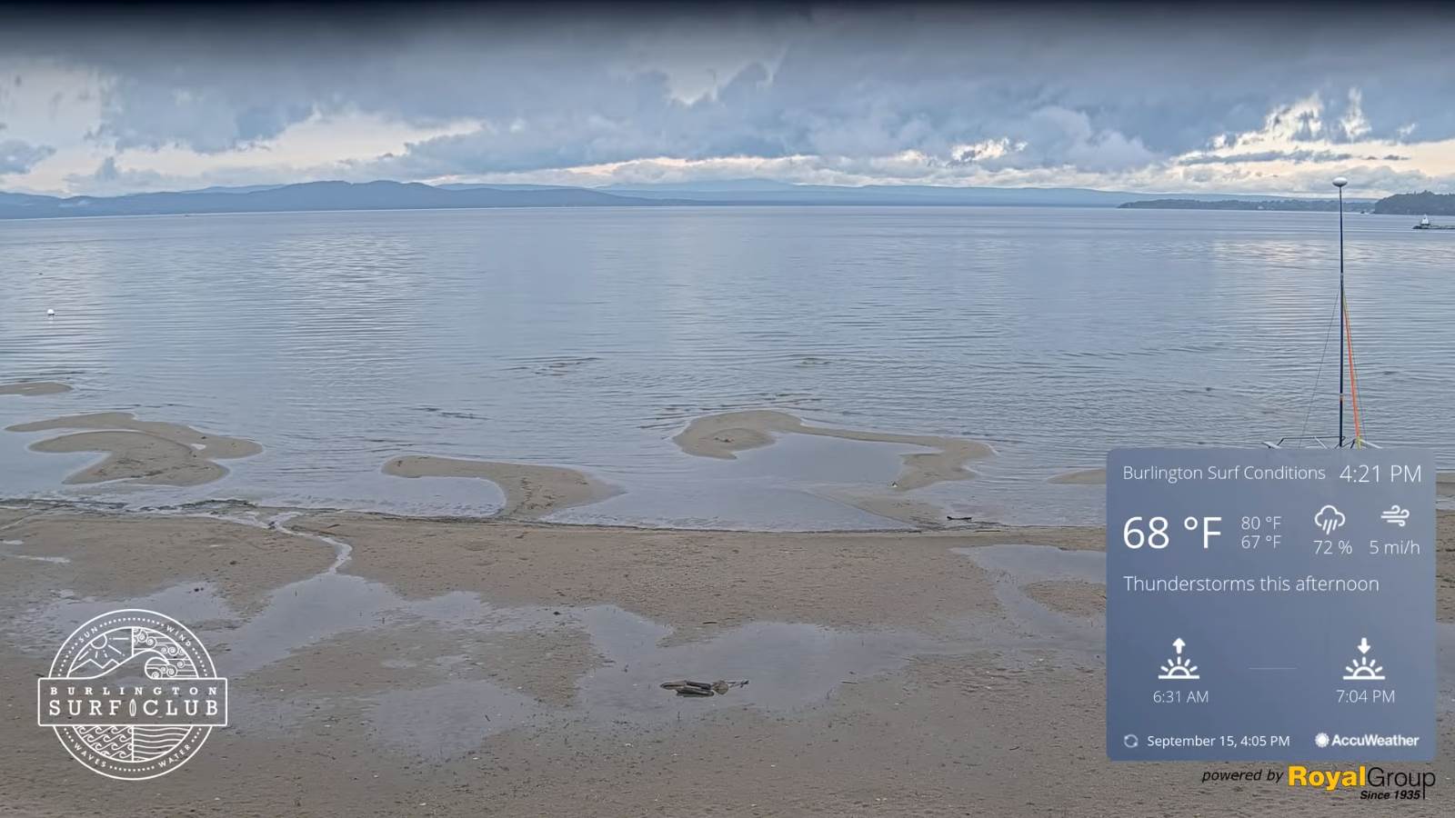
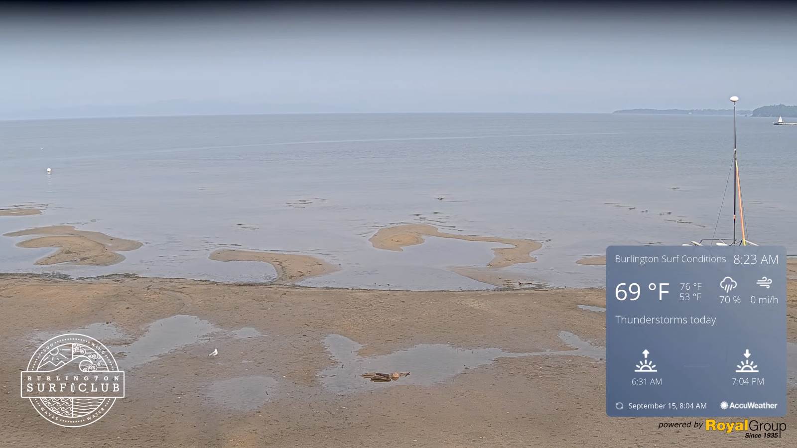
SATURDAY: Partly to mostly cloudy. Scattered showers and afternoon thunderstorms a few possibly heavy. A high around 75.
SUNDAY: Morning fog, then partly to mostly sunny. A low 50 to 55. Cooler & less humid. A high 65 to 70.
MONDAY: Morning fog, then bright sunshine and blue skies. A low in the mid-40s. A high 70 to 75.
TUESDAY: Sunshine after morning fog. A low 45 to 50. A high 75 to 80.
WEDNESDAY: Patchy morning fog, then mostly sunny, warmer and more humid in the afternoon. A low 50 to 55. A high
mid to upper 70s.
Average low 45 to 50. Average highs upper 60s to low 70s

RH/9-16forecast][end]