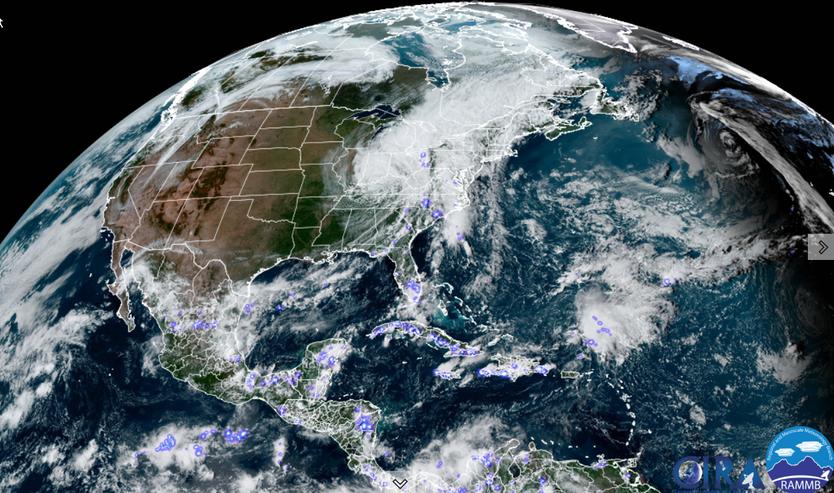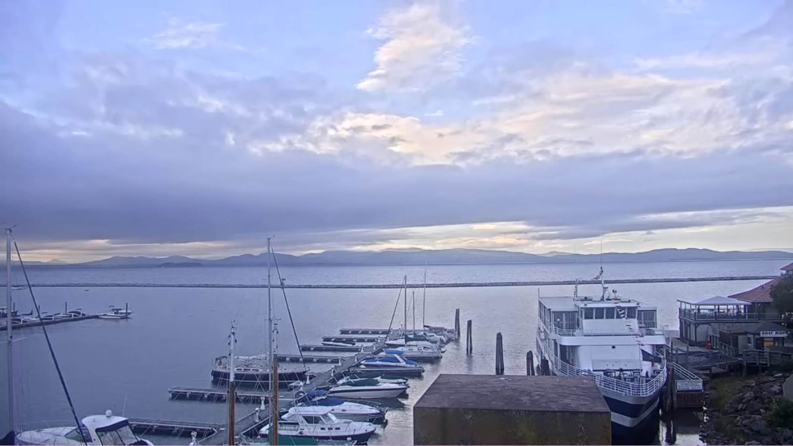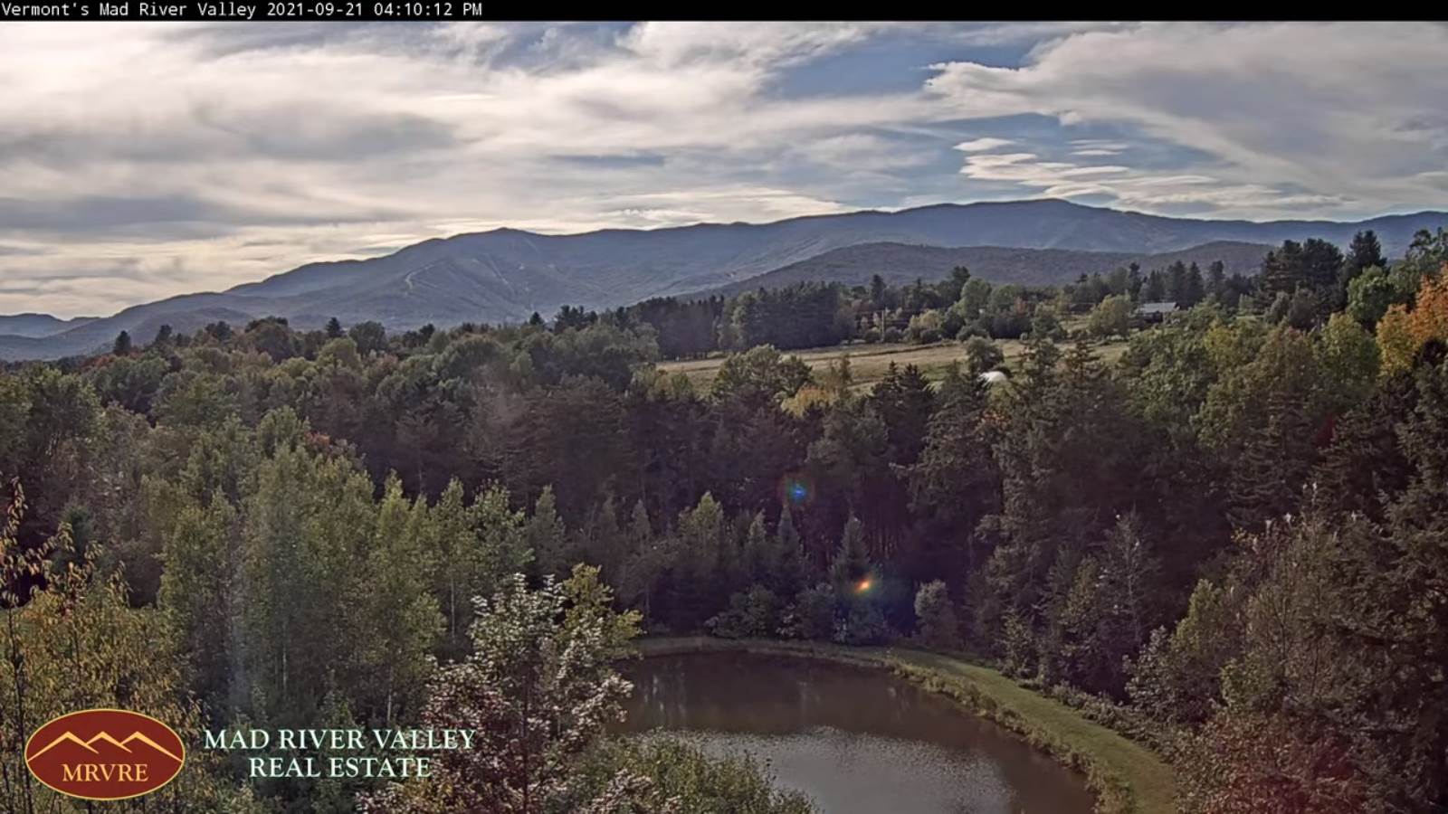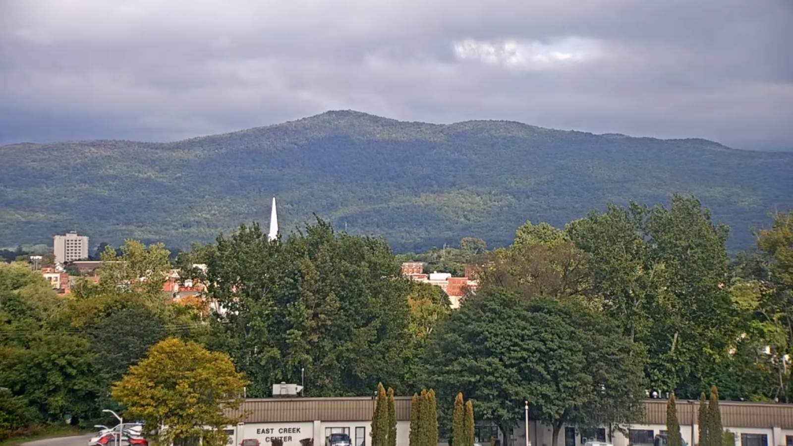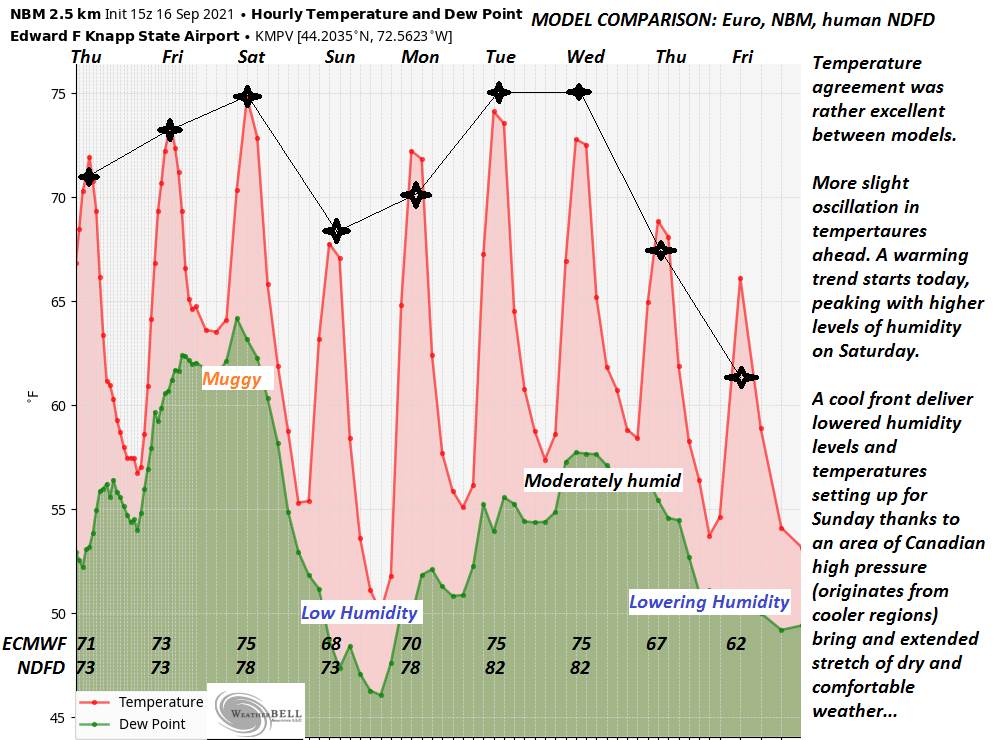
TODAY: Partly to mostly cloudy, breezy to windy. Maybe a sprinkle southern & eastern areas. A high in the mid-70s. Southeast winds 10 to 25 mph with higher gusts along the western slopes of the Green Mountains.
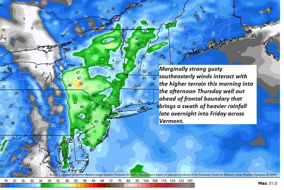
TONIGHT: Partly to mostly cloudy. A few showers likely southern areas overnight. A low in the upper 50s to around 60. Gusty southeast breeze 10 to 20 mph.
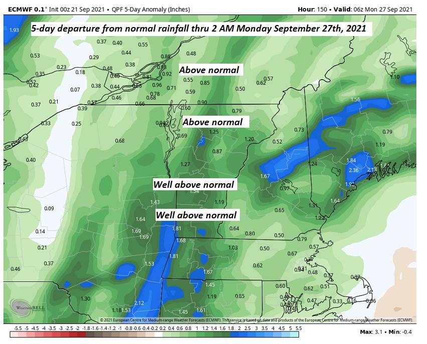
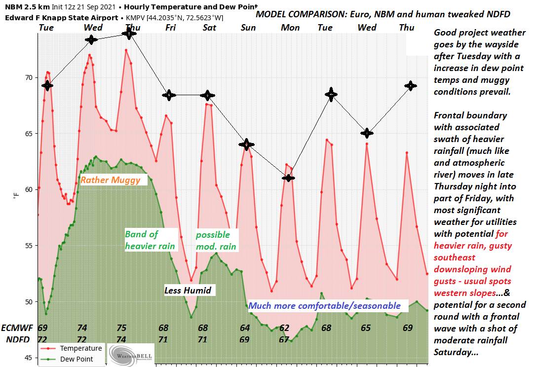
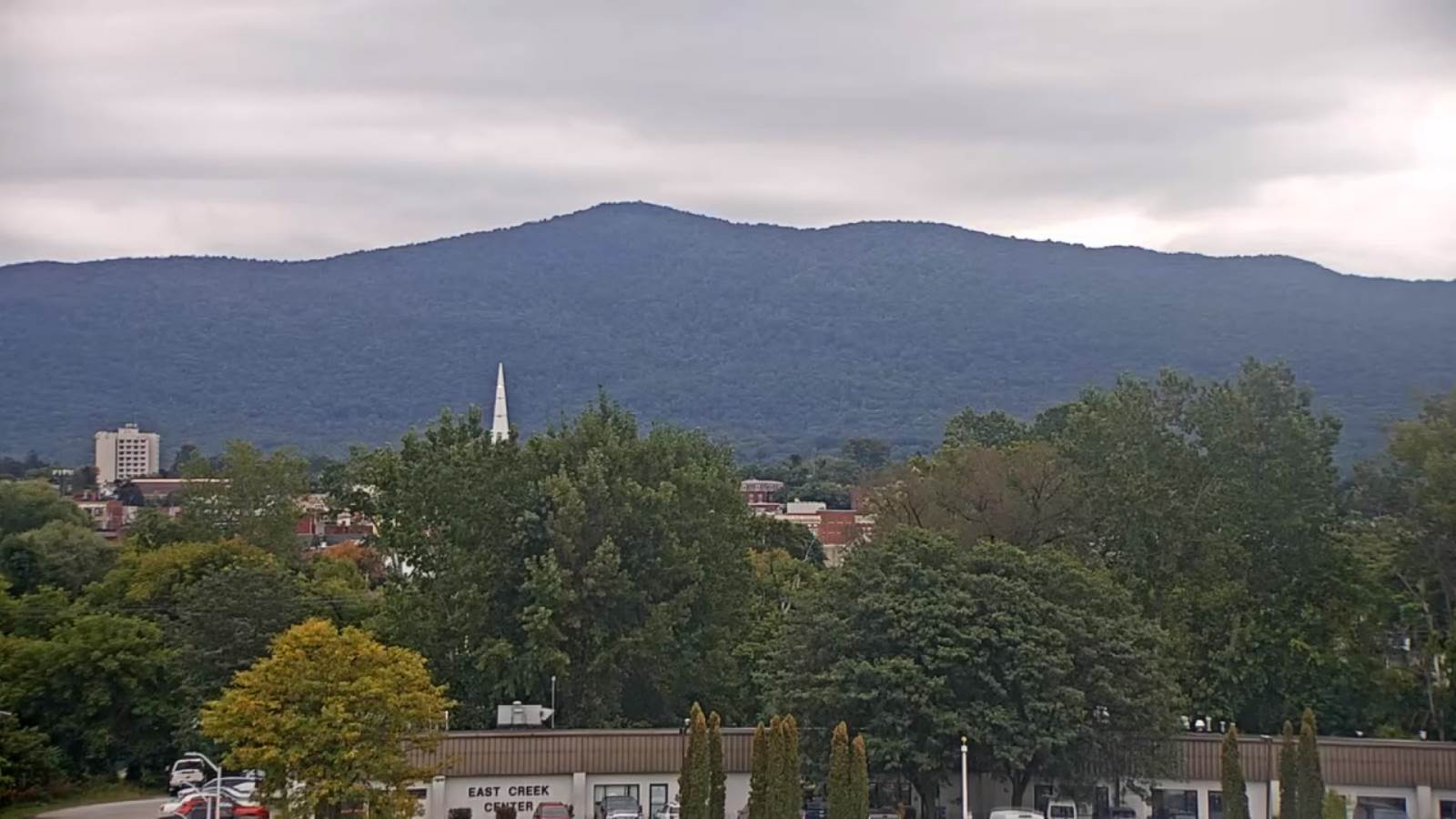
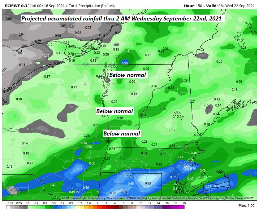
FRIDAY: Cloudy & a bit muggy. Periods of rain likely…moderate to heavy at times with a rumble of thunder…tapering off late. Some late day sunshine. A high around 70. Southeast winds 10 to 20 mph becoming light & southwesterly.

Looking further ahead…
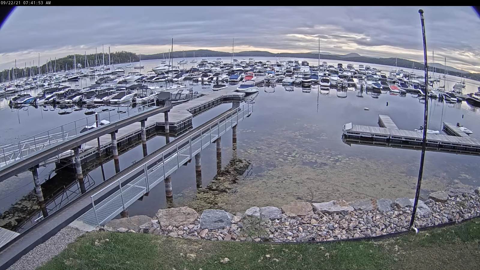
FRIDAY NIGHT: Mostly clear and cool. Considerable valley fog. A low upper 40s to near 50.
SATURDAY: Partly sunny after morning fog. A high 65 to 70.

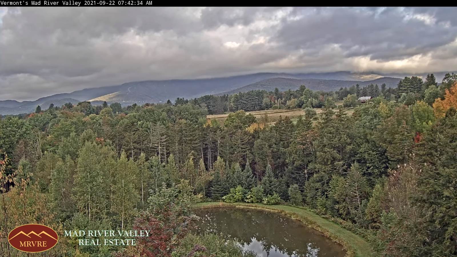
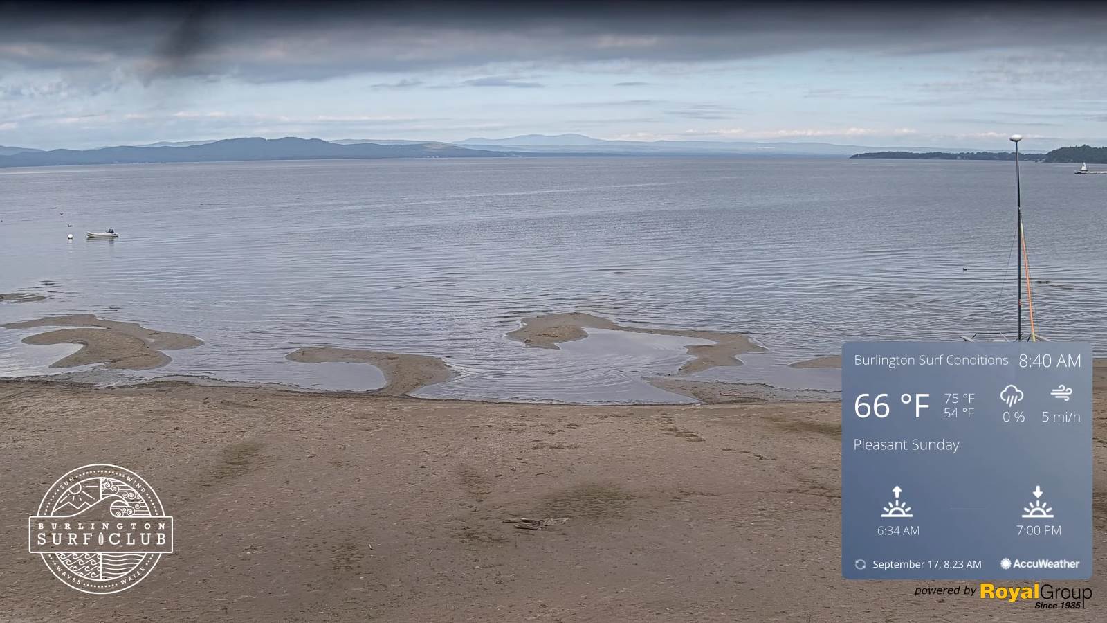
SUNDAY: Mixed sun and clouds. Widely scattered showers. A low around 50. Start of a cooling trend. A high 60 to 65.
MONDAY: Mostly cloudy. A rising chance for showers. A low upper 40s to around 50. A high 60 to 65.
TUESDAY: Partly sunny. A low around 45. A high near 60.
Average low ranging thru the 40s. Average highs mid to upper 60s.
RH/9-23forecast][end]