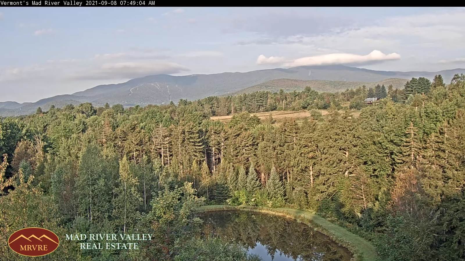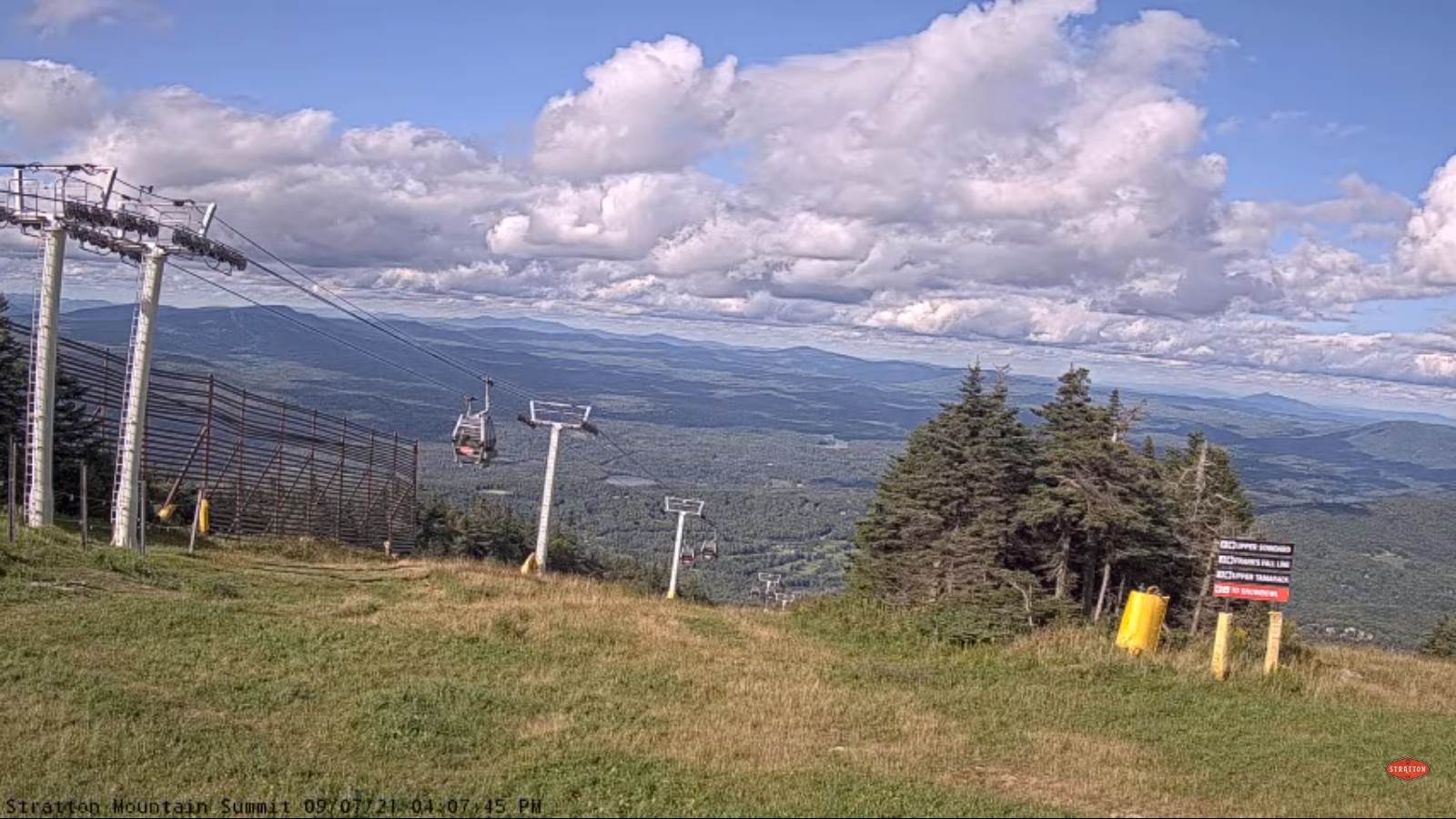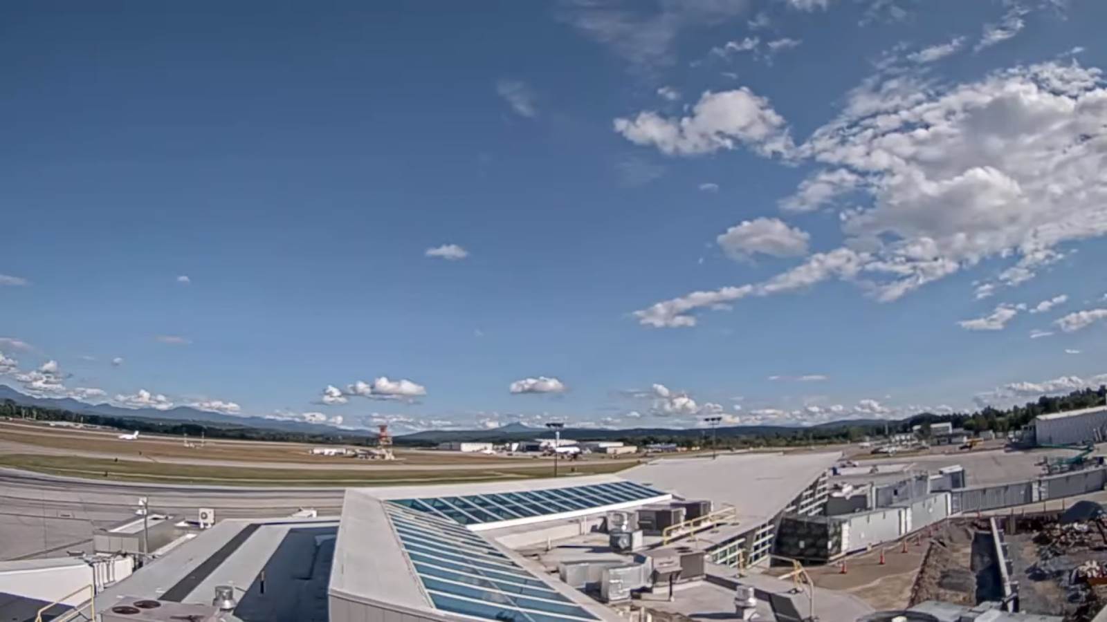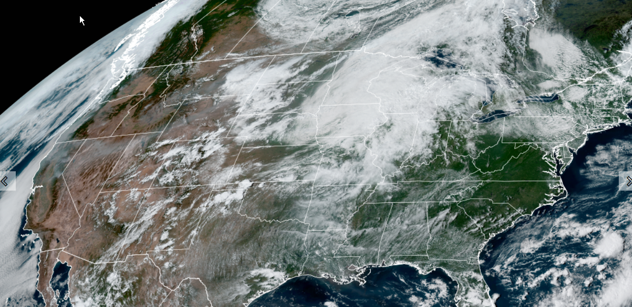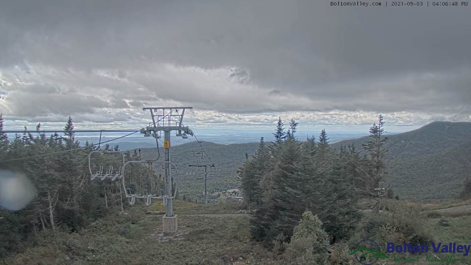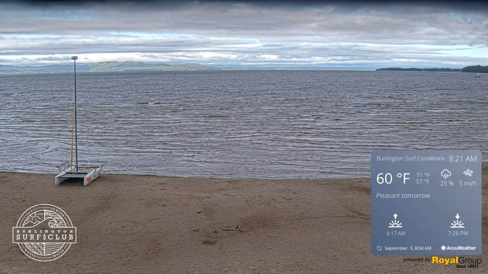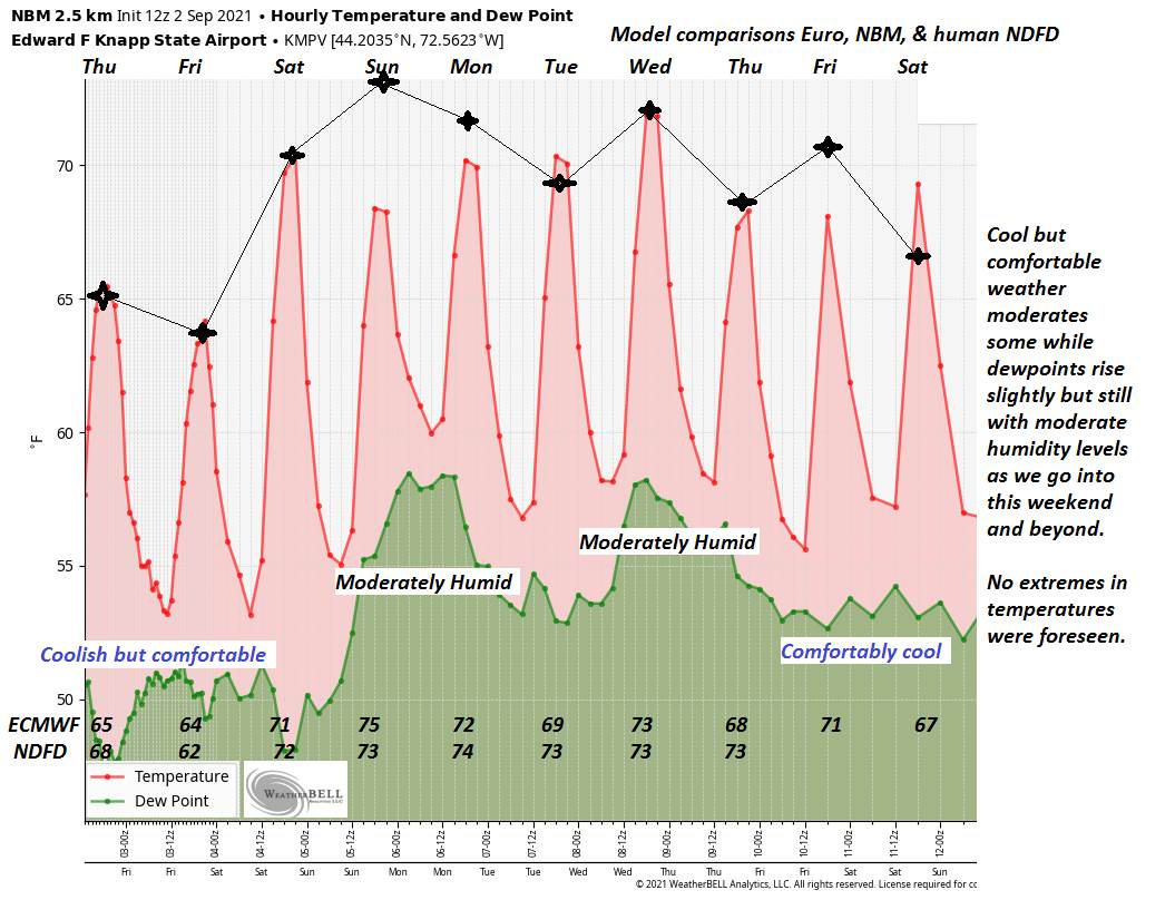
TODAY: Considerable cloudiness with a few leftover sprinkles eastern areas this morning, and across the higher terrain northern areas this afternoon. Clouds give way to few hints of sunshine Champlain Valley. Moderately humid. A high around 70. Light southwest winds.
TONIGHT: Considerable high cloudiness. A low around 55. Light west to northwest winds.
FRIDAY: Morning clouds and areas of fog…give way to partial afternoon sunshine. Scattered mountain sprinkles or light passing showers. Cooler with a high in the low to mid-60s. Northwest breeze 10 to 20 mph.
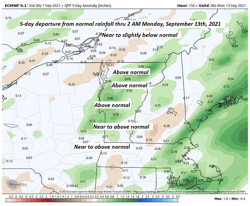
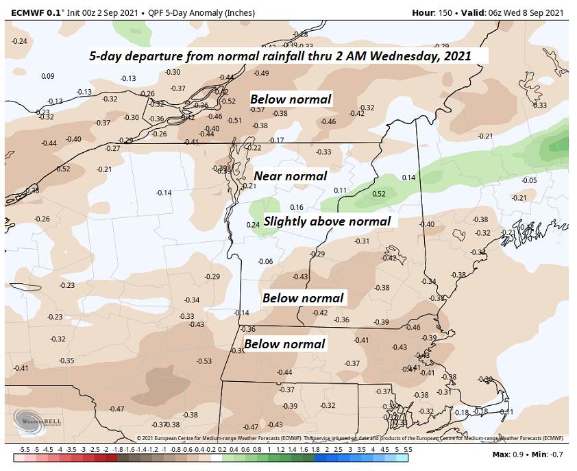
Looking further ahead…
FRIDAY NIGHT: Mostly clear. A low near 45.
SATURDAY: Sunshine becoming filtered thru high cloudiness. A high upper 60s to around 70.
SUNDAY: Mostly cloudy. Chance for showers, maybe a few rumbles of thunder. A low mid-50s. A high near 75.
MONDAY: Lots of high clouds, but some hints of sunshine. A low 50 to 55. A high 65 to 70.
TUESDAY: Morning fog burns off to blue skies and bright sunshine. A low in the 40s. A high in the 60s.
Average low mid-40s to low 50s. Average highs 70 to 75.
RH/9-7forecast][end]