Updated Tuesday Evening Forecast — November 23rd, 2021

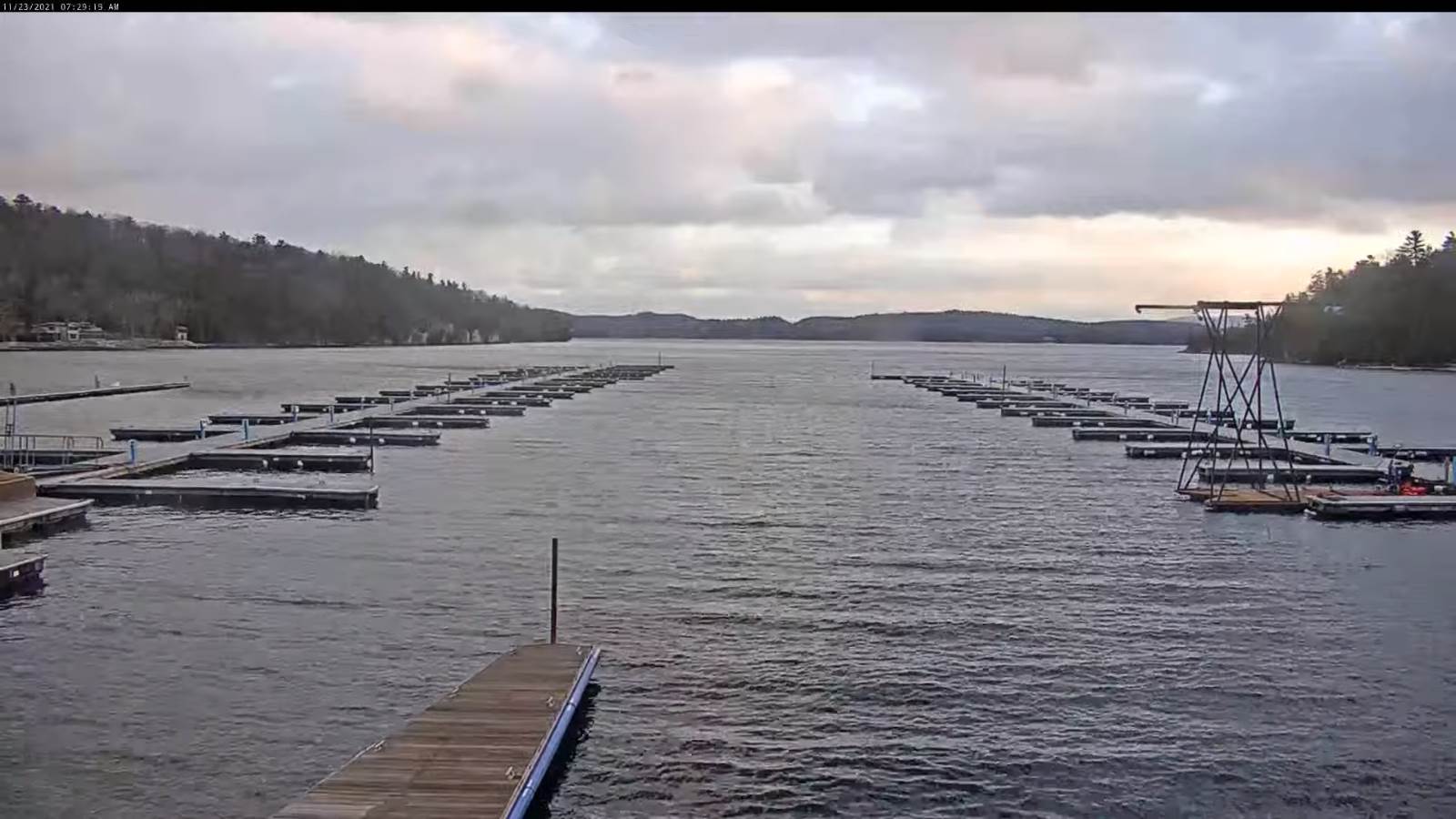
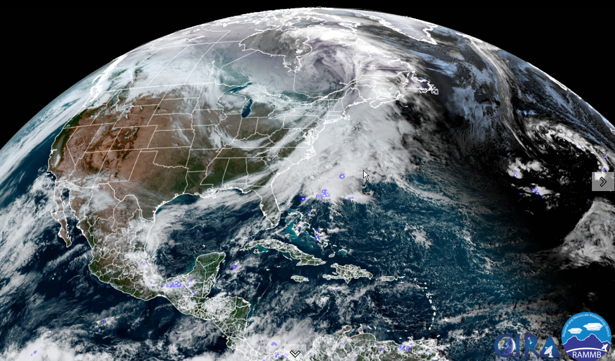
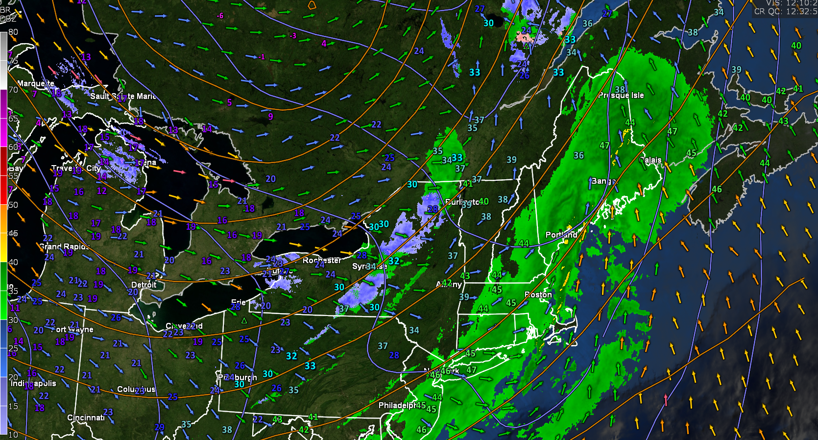
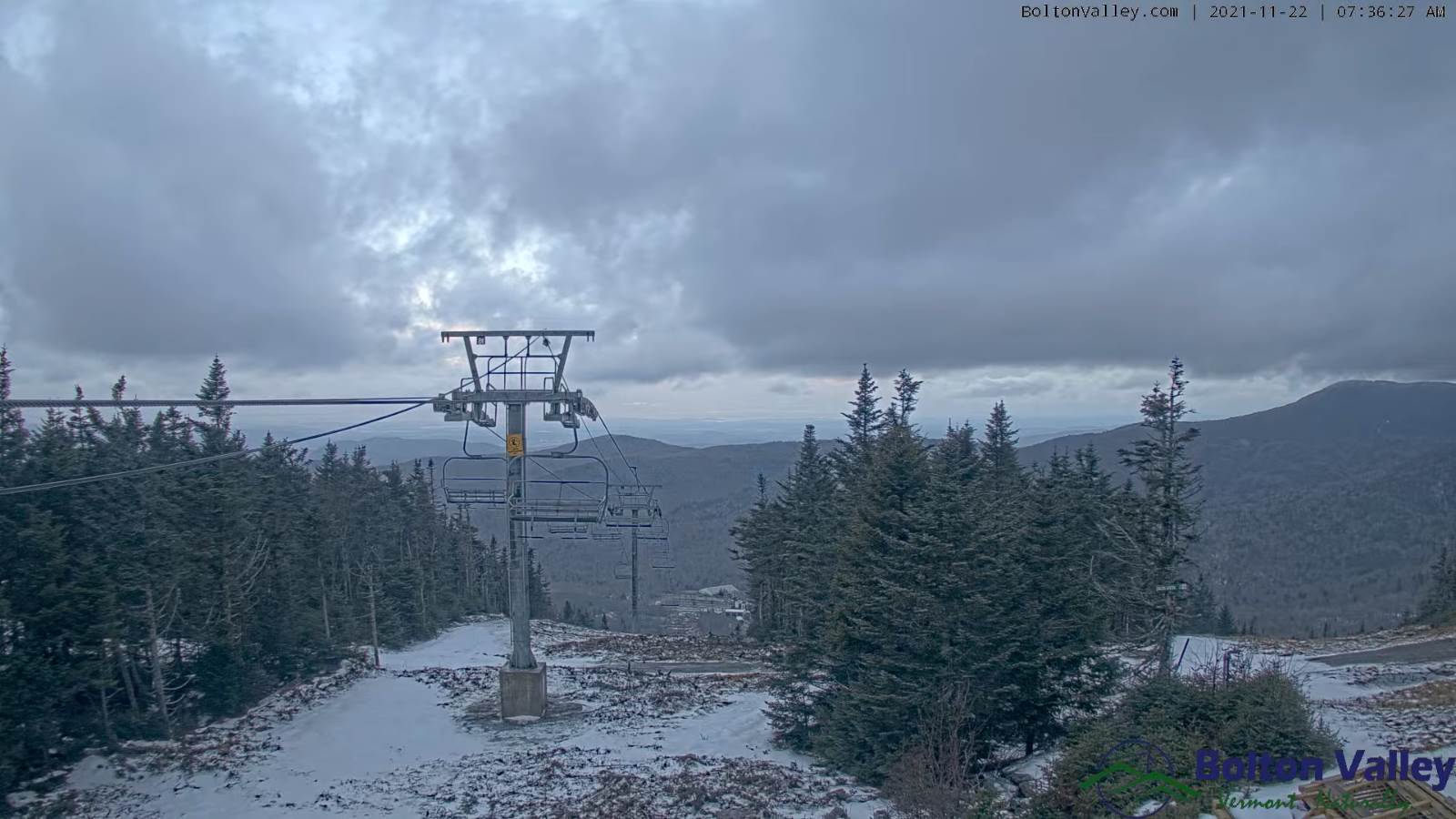
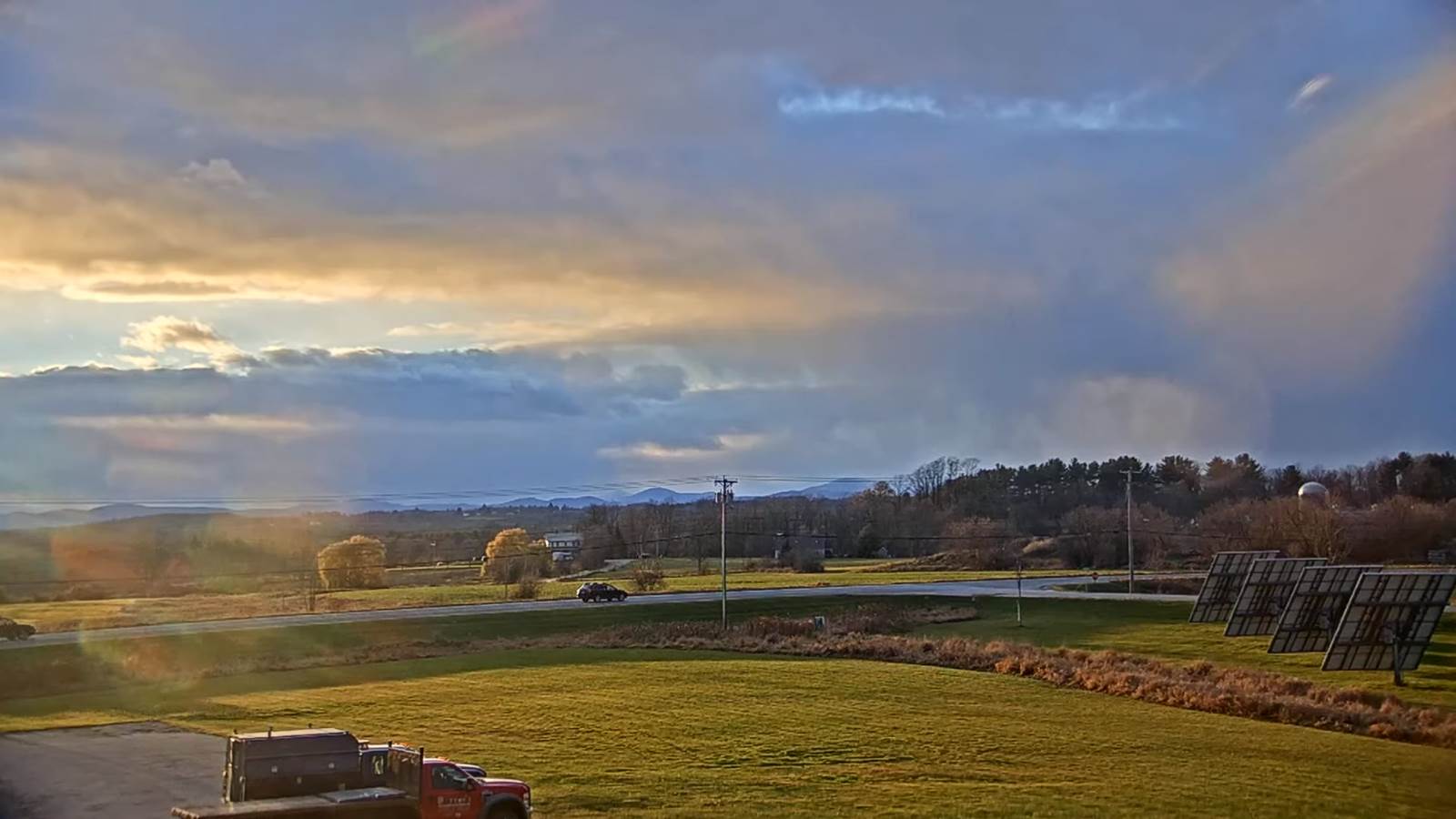
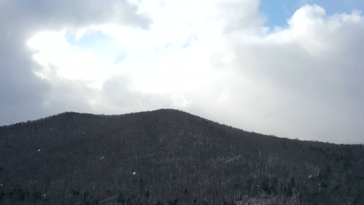
TONIGHT: Scattered flurries especially near the mountains this evening, less than ½” higher terrain. Otherwise, clearing after midnight. A low upper teens to around 20. Northwest winds 10 mph.

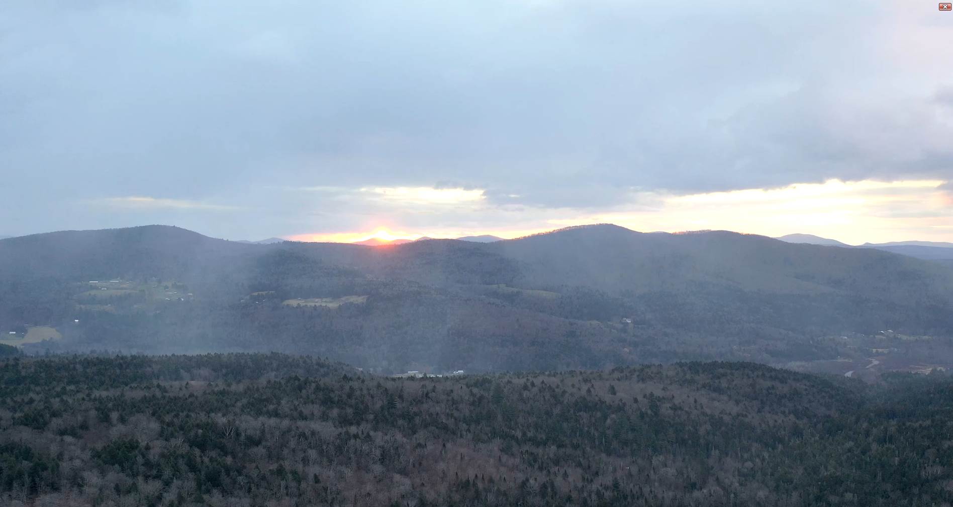
TOMORROW: Pick of the week. Bright sunshine and blue skies, but rather chilly. A high near 35. Northwest winds 10 mph.

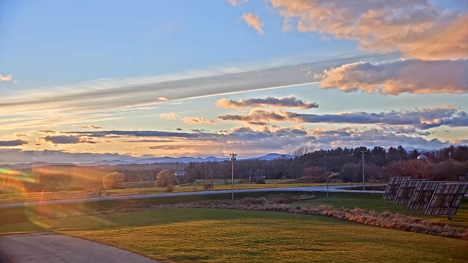
WEDNESDAY NIGHT: Fair with variable high clouds. A low mid-20s. Light northwest winds.

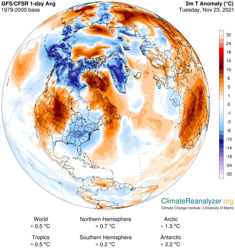
THURSDAY THANKSGIVING DAY: Intervals of sun early, then gradually thickening clouds. Milder. A high near 45. Little wind.

Looking further ahead…

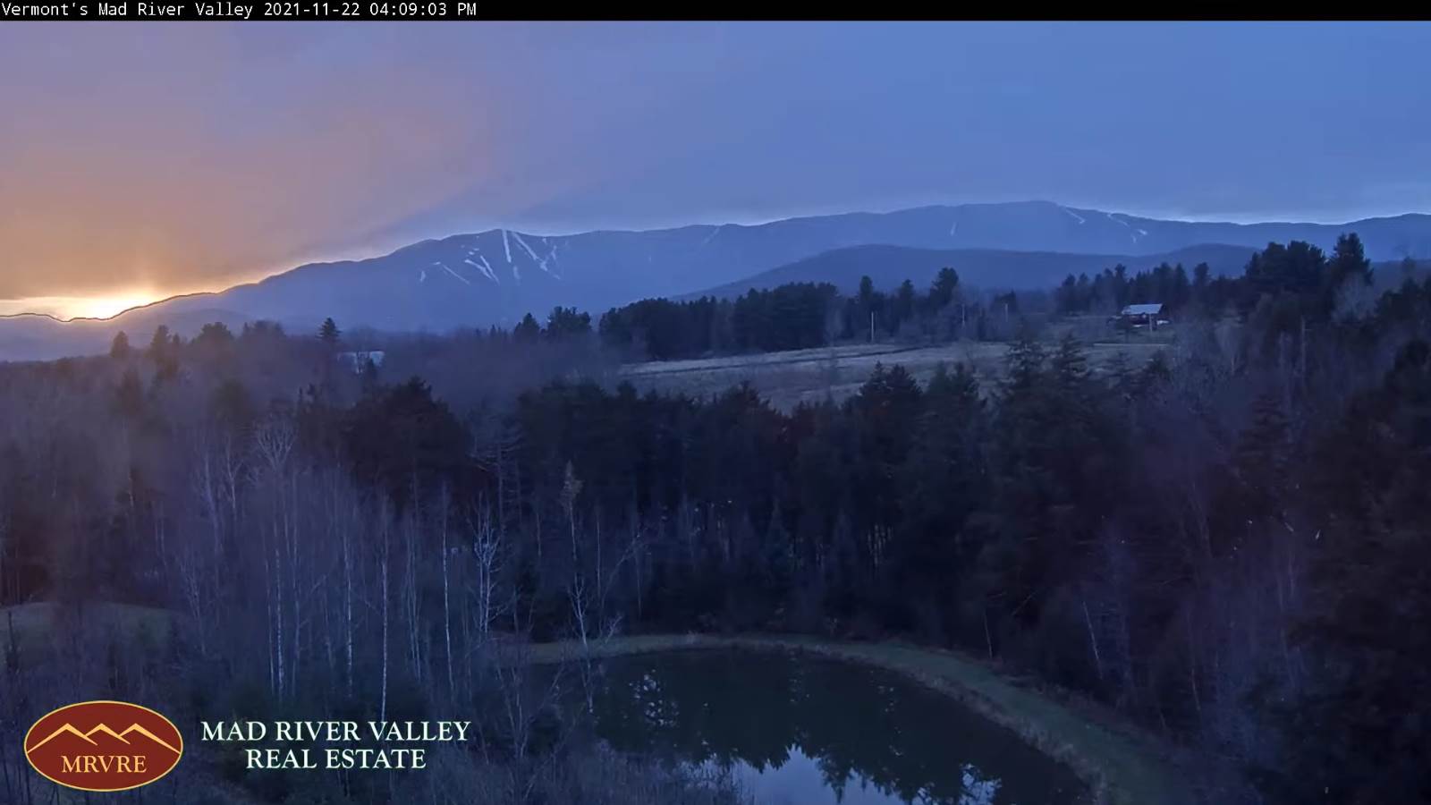
THURSDAY NIGHT: Thickening clouds. A rising chance for light rain with a risk for spotty freezing rain developing making for hazardous travel Barre-Montpelier area into the Northeast Kingdom. A low in the low 30s.

FRIDAY: Gray. Periods of light rain…transitioning to light wet snow showers & flurries. About dusting to an inch. A high near 35.

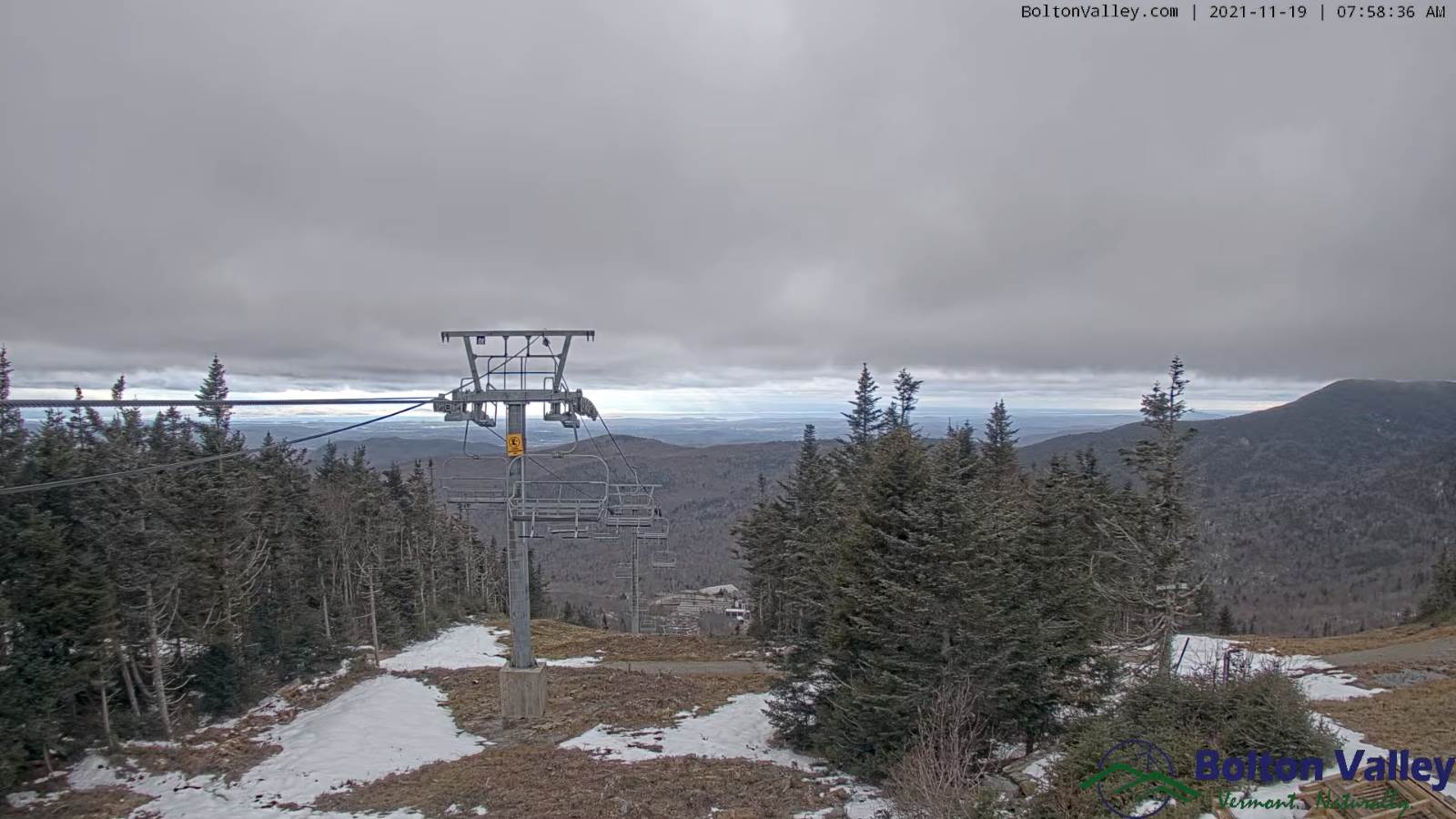
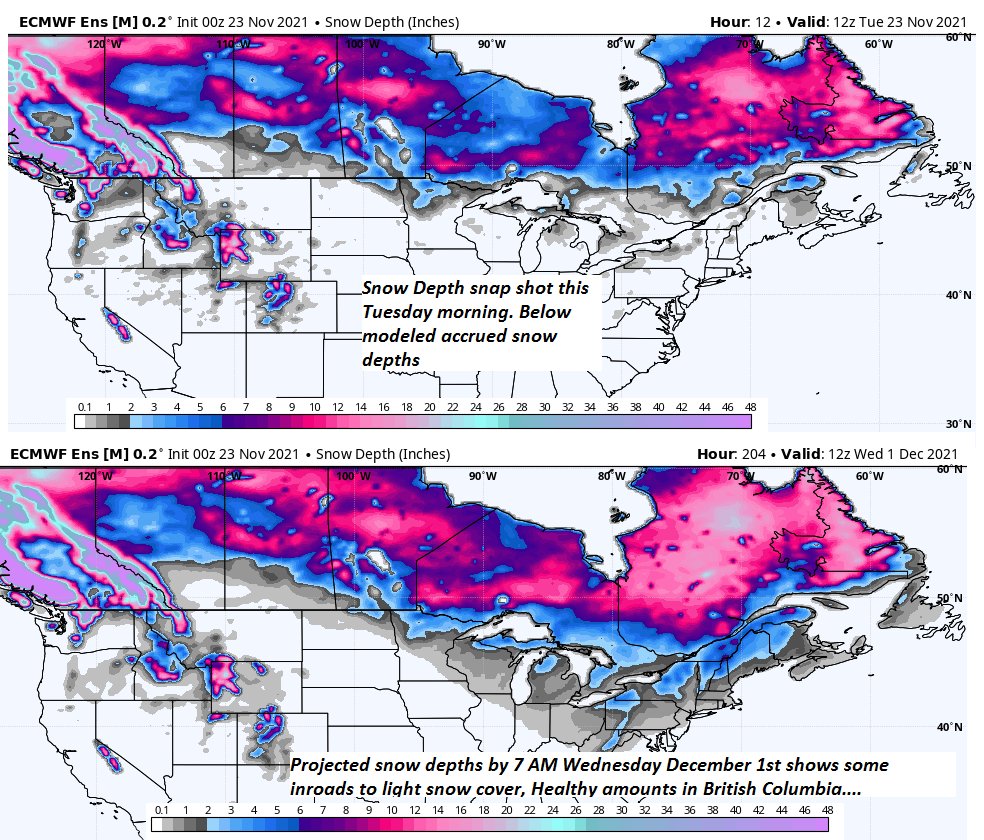
SATURDAY: Mostly cloudy & blustery and colder. Chance for accumulating snow showers. Accumulations about 1 to 3” especially the mountains. A low 20 to 25. A high around 30.

SUNDAY: Isolated mountain flurries, otherwise partly to mostly cloudy. A low in the mid-teens. A high around 30.

Average lows in the low to mid 20s. Average highs upper 30s to low 40s.

RH/11-23forecast][end]

Updated Tuesday Morning Forecast — November 23rd, 2021

TODAY: Morning sun, then mostly cloudy, becoming blustery and cold. Isolated flurries northern areas later this morning into the afternoon with a dusting in spots. A high upper 20s to near 30. Northwest winds 10 to 15 mph.

TONIGHT: A stray evening flurry near the mountains. Otherwise partly cloudy clearing out overnight. A low in the low 20s. Light northwest winds.

WEDNESDAY: Pick of the week. Bright sunshine and blue skies, but rather chilly. A high near 35. Light northwest winds.

Looking further ahead…

WEDNESDAY NIGHT: Variable clouds. A low mid-20s.

THURSDAY THANKSGIVING DAY: Clouds with a few intervals of sun. Milder. A high near 45.

FRIDAY: Gray. Good chance for rain or wintry mix transitioning to light accumulating snow with slick travel possible. About dusting to an inch. A low upper 20s. A high near 35.

SATURDAY: Mostly cloudy & blustery and colder. Chance for accumulating snow showers with generally light coatings. Accumulations about 1 to locally 4” in the mountains. A low in the mid-20s. A high around 30.

SUNDAY: More clouds than sunshine. A low in the teens. A high 25 to 30.

Average lows in the low to mid 20s. Average highs upper 30s to low 40s.

RH/11-23forecast][end]

Updated Monday Evening Forecast — November 22nd, 2021

TONIGHT: Lots of evening clouds then clearing. A low 20 to 25. Light west to northwest winds.

TOMORROW: Morning sun, then mostly cloudy and blustery. Scattered flurries Barre-Montpelier area north developing in the morning. A light coating northern Green Mountains. A high upper 20s to around 30. Northwest winds 10 to 15 mph.

TUESDAY NIGHT: A stray evening flurry near the mountains. Otherwise partly cloudy. A low in the low 20s. Light northwest winds.

WEDNESDAY: Pick of the week. Bright sunshine and blue skies, but rather chilly. A high near 35. Light northwest winds.

Looking further ahead…

WEDNESDAY NIGHT: Partly cloudy. A low mid-20s.

THURSDAY THANKSGIVING DAY: A few intervals of morning sun, then cloudy & milder. A high near 45.

FRIDAY: Gray. Chance for rain in the morning…transitioning to a wintry mix and eventually wet snow in the afternoon, with slick travel developing. A low upper 20s. A high near 35.

SATURDAY: Mostly cloudy & blustery. Chance for accumulating snow showers. A low in the mid-20s. A high around 30.

SUNDAY: Mainly cloudy. Chance for an accumulating snow shower or a flurry. A low in the teens. A high 25 to 30.

Average lows in the low to mid 20s. Average highs upper 30s to low 40s.

RH/11-22forecast][end]

Updated Monday morning Forecast — November 22nd, 2021

TODAY: An occasional light rain shower, with a few snowflakes higher terrain through mid-day, giving way to intervals of afternoon sunshine. A little milder again. A high 40 to 45. Southwest winds 10 mph shifting to northwest this morning.

TONIGHT: Mostly clear with a more clouds toward daybreak. A low 20 to 25. Light west winds.

TUESDAY: Variably cloudy and blustery at times. A few stray flurries near the mountains. A dusting in spots. A high upper 20s to around 30. Northwest winds 10 to 15 mph.

Looking further ahead…

TUESDAY NIGHT: Partly cloudy, to mostly clear. A low around 20

WEDNESDAY: Sunny, but with slightly below normal temperatures. A high near 35.

THURSDAY THANKSGIVING DAY: Sunshine mixing with more clouds thickening up late. A low around 25. A high around 45.

FRIDAY: Gray. Rising chance for wintry mix early with slick travel developing…changing over to accumulating wet snow possibly moderate at times. A low 25 to 30. A high in the mid-30s.

Average lows in the low to mid 20s. Average highs upper 30s to low 40s.

RH/11-22forecast][end]

Updated Friday Evening Forecast — November 19th, 2021

TONIGHT: A leftover isolated mountain flurry, then mostly clear. A low near 25. Light northwest winds.

TOMORROW: Bright sun and blue skies giving way to high cloudiness late. A high around 40. Light southwest winds.

SATURDAY NIGHT: Considerable cloudiness. Isolated northern mountain flurries toward daybreak. A low in the near 30. Light south winds breezy near Lake Champlain.

SUNDAY: Clouds with a few hints of sun in the afternoon. A high near 45. South winds 10 mph.

Looking further ahead…

SUNDAY NIGHT: Cloudy. Scattered light rain showers. A low in the upper 30s.

MONDAY: Good chance for rain or showers tapering off in the afternoon, with breaks of sun developing. A little milder again. A high in the mid-40s.

TUESDAY: Variably cloudy. Widely scattered flurries. A low 20 to 25. A high 32 to 35.

WEDNESDAY: Mostly sunny, blustery at times & cold. A low around 20. A high near 32.

Average lows in the 20s. Average highs upper 30s to mid-40s.

RH/11-19forecast][end]

Updated Friday morning Forecast — November 19th, 2021

TODAY: Alternating sun and clouds, blustery and colder, isolated mountain flurries flare up a bit this afternoon. A dusting of accumulation grassy surfaces. A high in the lower 40s. Gusty west to northwest winds 10 to 25 mph.

TONIGHT: A leftover isolated mountain flurry, then mostly clear. A low near 25. Light northwest winds.

SATURDAY: Mostly sunny. A high around 40. Light southwest winds.

Looking further ahead…

SATURDAY NIGHT: Considerable high cloudiness. A low in the low 30s.

SUNDAY: High cloudiness with a few hints of sun around mid-day, thickening up late in the afternoon. A rising chance for showers after 4 PM west to east. A high 40 to 45.

MONDAY: Good chance for rain or showers tapering off in the afternoon, with breaks of sun developing. A little milder again. A low near 32. A high 45 to 50.

TUESDAY: Variably cloudy. Chance for light accumulating snow showers. A low near 25. A high near 35.

WEDNESDAY: Blustery & colder than normal with a few mountain flurries. A low 20 to 25. A high near 32.

Average lows in the 20s. Average highs upper 30s to mid-40s.

RH/11-19forecast][end]

Updated Thursday evening Forecast — November 18th, 2021

Full “Beaver Moon 3:59 AM” Partial Lunar Eclipse 2 AM thru 5:47 AM Tomorrow morning…

TONIGHT: Occasional rain showers…mixing with higher summit wet snow, exiting around midnight. Partial clearing after midnight. Patchy valley fog. A low around 32. Light northwest winds.

TOMORROW: Alternating sun and clouds, blustery and colder, widely scattered mountain flurries with little accumulation. A high near 45. Gusty west to northwest winds 10 to 25 mph.

FRIDAY NIGHT: Mostly clear. A low near 25. Light northwest winds.

SATURDAY: Sunshine gives way to high cloudiness in the afternoon. A high near 40. Light southwest winds.

Looking further ahead…

SATURDAY NIGHT: Considerable high cloudiness. A low in the low 30s.

SUNDAY: High cloudiness thickening up late. A high 40 to 45.

MONDAY: Cloudy but milder again. Good chance for rain or showers. A low mid to upper 30s. A high around 50.

TUESDAY: Partly cloudy. Chance for accumulating snow showers. A low near 25. A high mid to upper 30s.

Average lows 25 to 30. Average highs 40 to 45.

RH/11-18forecast][end]

Updated Thursday morning Forecast — November 18th, 2021

TODAY: Pick of the week. Mainly gray, with intervals of sunshine around mid-day, but milder. Isolated sprinkles far northern areas blending to a period of occasional rain showers late. Milder. A high mid-50s to near 60. South breeze 10 to 15 mph becoming northwest late.

Full “Beaver Moon 3:59 AM” Partial Lunar Eclipse 2 AM thru 5:47 AM Tomorrow morning…

TONIGHT: Occasional showers…mixing with higher elevation wet snow exiting after midnight to clearing skies with patchy valley fog. A low in the low 30s. Light northwest winds.

FRIDAY: Alternating sun and clouds, blustery and colder, widely scattered mountain flurries little to no accumulation. A high 40 to 45. Gusty west to northwest winds 10 to 25 mph.

Looking further ahead…

FRIDAY NIGHT: Mostly clear. A low around 25.

SATURDAY: Sunshine gives way to increasing high clouds in the afternoon. A high near 40.

SUNDAY: High cloudiness thickening up late. A low around 32. A high in the low 40s.

MONDAY: Cloudy. Chance for periods of rain or showers. A low upper 30s to around 40. A high around 50.

TUESDAY: Partly cloudy. Chance for snow showers mixed with rain valley floors. A low in the low 30s. A high in the low 40s.

Average lows 25 to 30. Average highs 40 to 45.

RH/11-18forecast][end]

Updated Wednesday Evening Forecast — November 17th, 2021

Winter Weather Advisory far Northeast Kingdom this evening…

TONIGHT: Overcast. Scattered light rain showers early, with spotty freezing rain far northern Vermont for a time this evening. Otherwise scattered rain showers roughly Barre-Montpelier area north. A low near 32 degrees Essex county, otherwise mid-30s. South winds 10 to 15 mph.

TOMORROW: Pick of the week. Mainly gray, but milder. Isolated sprinkles far northern areas blending to a period of occasional rain showers late. Milder. A high mid-50s to near 60. South breeze 10 to 15 mph becoming northwest late.

THURSDAY NIGHT: Occasional showers…mixing with higher elevation wet snow exiting overnight to clearing. A low near 32. Light northwest winds.

FRIDAY: Mixed sun and clouds, blustery and colder, widely scattered mountain flurries little to no accumulation. A high in the low 40s. Gusty west to northwest winds 10 to 25 mph.

Looking further ahead…

FRIDAY NIGHT: Mostly clear. A low in the mid-20s.

SATURDAY: Sunshine gives way to increasing high clouds in the afternoon. A high near 40.

SUNDAY: High cloudiness thickening up late. A low around in the upper 20s. A high in the low 40s.

MONDAY: Cloudy. Chance for showers or periods of rain. A low 35 to 40. A high upper 40s to near 50.

Average lows 25 to 30. Average highs 40 to 45.

RH/11-17forecast][end]

Updated Wednesday Morning Forecast — November 17th, 2021

TODAY: Considerable high cloudiness, with hints of morning sunshine. A high around 40. Light winds increasing southeasterly 10 to 15 mph.

TONIGHT: Overcast. Scattered light rain showers arrive early, with brief spotty mixed precipitation at onset north of the Barre-Montpelier area. A low 35 to 40. South winds 10 to 15 mph.

THURSDAY: Pick of the week. Mixed sun and clouds & mild. Isolated sprinkles far northern areas blending to a period of frequent rain showers late. Milder. A high mid-50s to near 60. South to southwest breeze 10 to 15 mph.

Looking further ahead…

THURSDAY NIGHT: Overcast. Periods of rain or showers likely…mixing with higher elevation wet snow. A low near 32.

FRIDAY: Partly to mostly sunny, blustery and colder, with isolated wet snow showers and sprinkles. A high around 40. Gusty west to northwest winds.

SATURDAY: Mostly sunny with a few high clouds late. A low in the mid-20s. A high upper 30s to around 40.

SUNDAY: Filtered sunshine through high cloudiness thickening up in the afternoon. A low around in the upper 20s. A high near 45.

MONDAY: Cloudy. Chance for showers or periods of rain. A low near 40. A high around 50.

Average lows 25 to 30. Average highs 40 to 45.

RH/11-17forecast][end]