
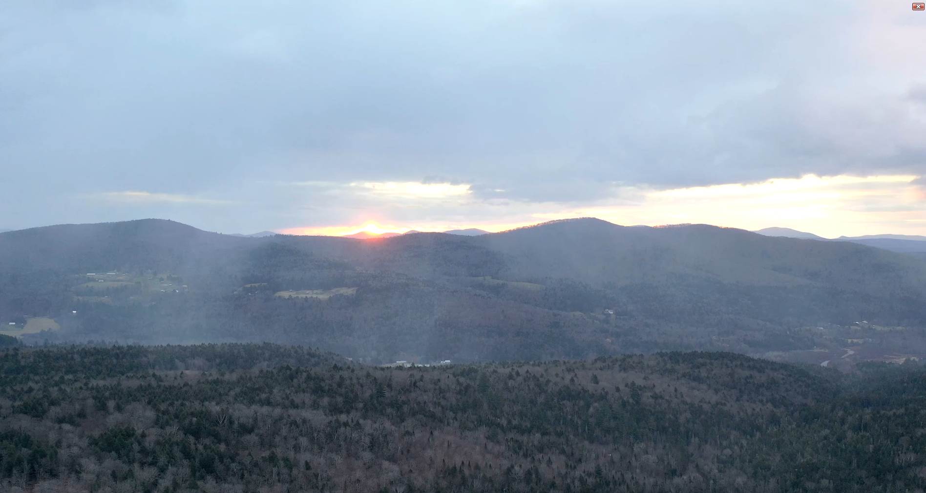
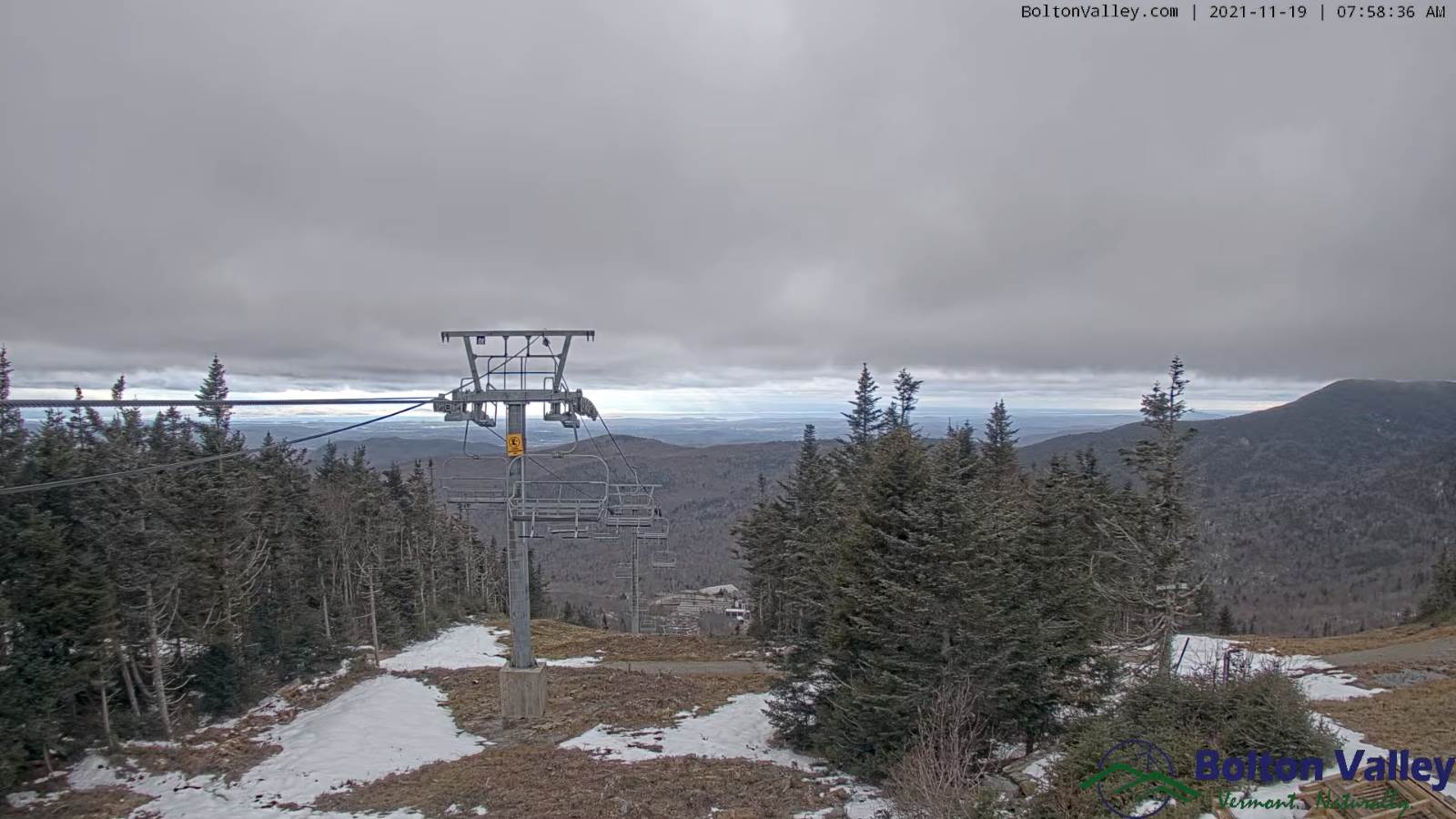
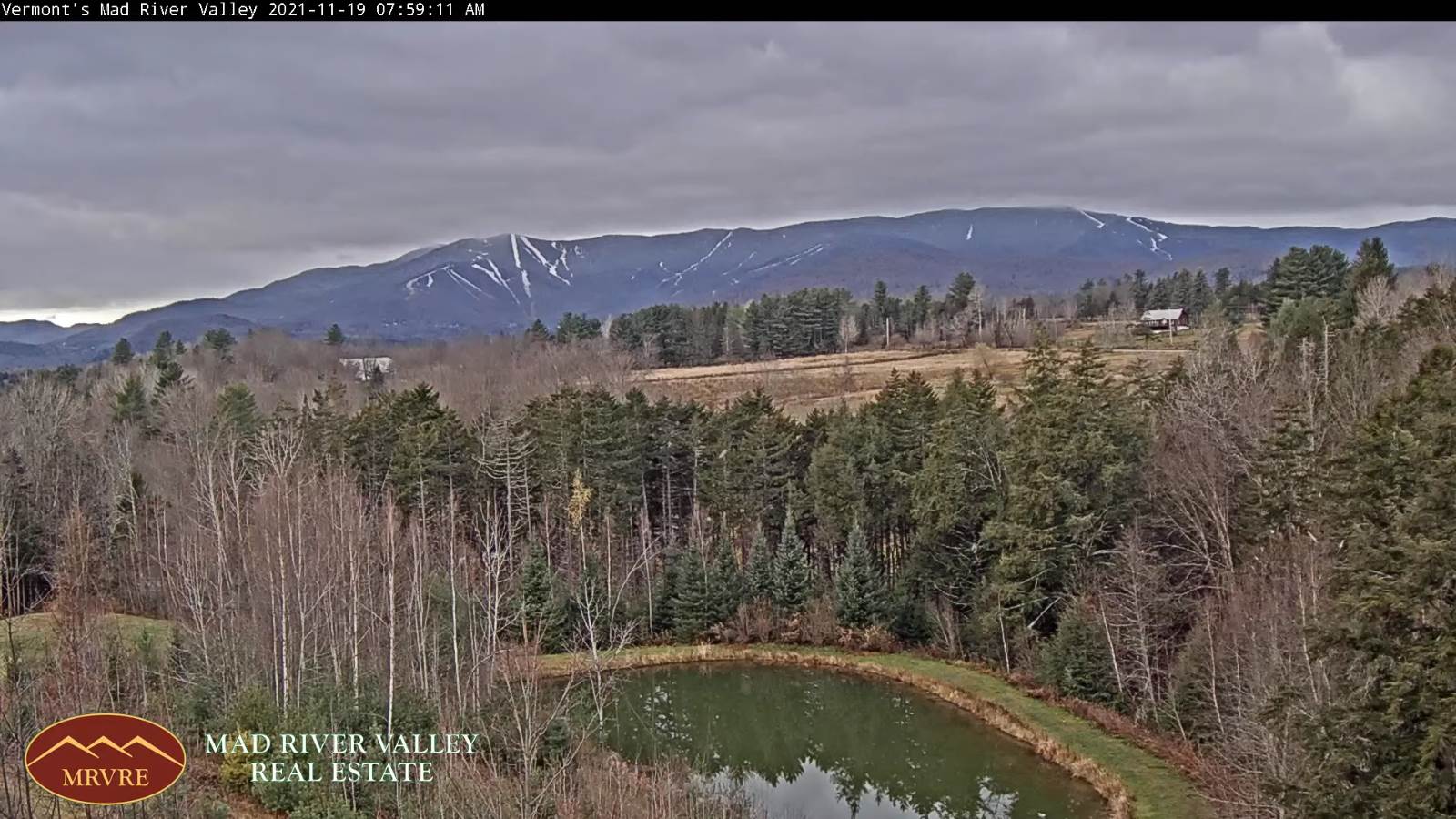
TODAY: Alternating sun and clouds, blustery and colder, isolated mountain flurries flare up a bit this afternoon. A dusting of accumulation grassy surfaces. A high in the lower 40s. Gusty west to northwest winds 10 to 25 mph.
TONIGHT: A leftover isolated mountain flurry, then mostly clear. A low near 25. Light northwest winds.
SATURDAY: Mostly sunny. A high around 40. Light southwest winds.
Looking further ahead…
SATURDAY NIGHT: Considerable high cloudiness. A low in the low 30s.
SUNDAY: High cloudiness with a few hints of sun around mid-day, thickening up late in the afternoon. A rising chance for showers after 4 PM west to east. A high 40 to 45.
MONDAY: Good chance for rain or showers tapering off in the afternoon, with breaks of sun developing. A little milder again. A low near 32. A high 45 to 50.
TUESDAY: Variably cloudy. Chance for light accumulating snow showers. A low near 25. A high near 35.
WEDNESDAY: Blustery & colder than normal with a few mountain flurries. A low 20 to 25. A high near 32.
Average lows in the 20s. Average highs upper 30s to mid-40s.

RH/11-19forecast][end]
