
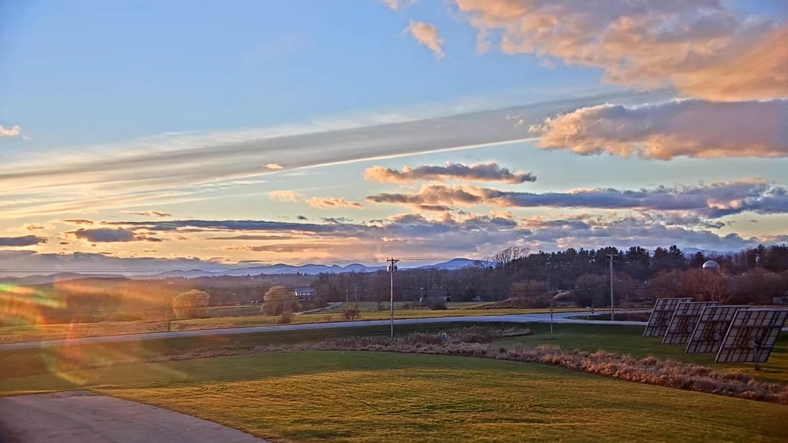
TONIGHT: Lots of evening clouds then clearing. A low 20 to 25. Light west to northwest winds.
TOMORROW: Morning sun, then mostly cloudy and blustery. Scattered flurries Barre-Montpelier area north developing in the morning. A light coating northern Green Mountains. A high upper 20s to around 30. Northwest winds 10 to 15 mph.
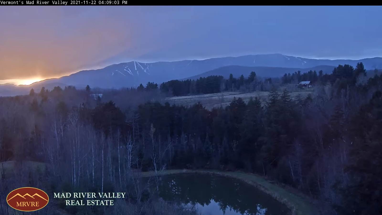
TUESDAY NIGHT: A stray evening flurry near the mountains. Otherwise partly cloudy. A low in the low 20s. Light northwest winds.
WEDNESDAY: Pick of the week. Bright sunshine and blue skies, but rather chilly. A high near 35. Light northwest winds.
Looking further ahead…
WEDNESDAY NIGHT: Partly cloudy. A low mid-20s.
THURSDAY THANKSGIVING DAY: A few intervals of morning sun, then cloudy & milder. A high near 45.
FRIDAY: Gray. Chance for rain in the morning…transitioning to a wintry mix and eventually wet snow in the afternoon, with slick travel developing. A low upper 20s. A high near 35.
SATURDAY: Mostly cloudy & blustery. Chance for accumulating snow showers. A low in the mid-20s. A high around 30.
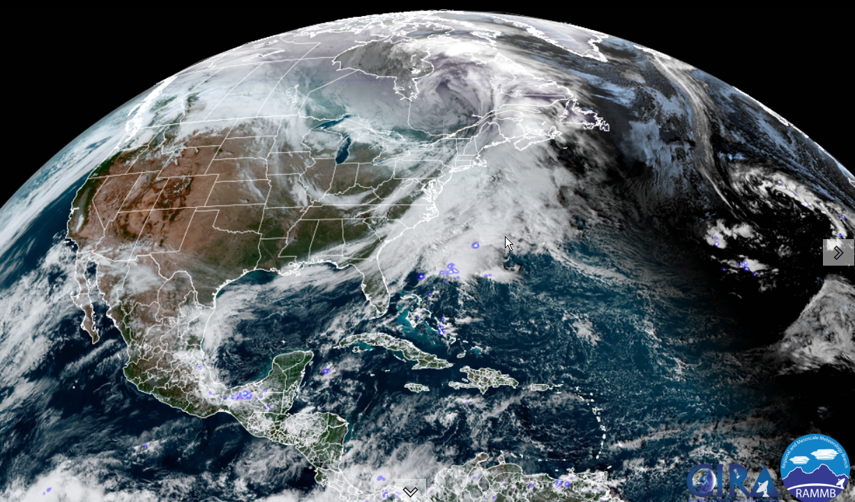
SUNDAY: Mainly cloudy. Chance for an accumulating snow shower or a flurry. A low in the teens. A high 25 to 30.
Average lows in the low to mid 20s. Average highs upper 30s to low 40s.
RH/11-22forecast][end]
