
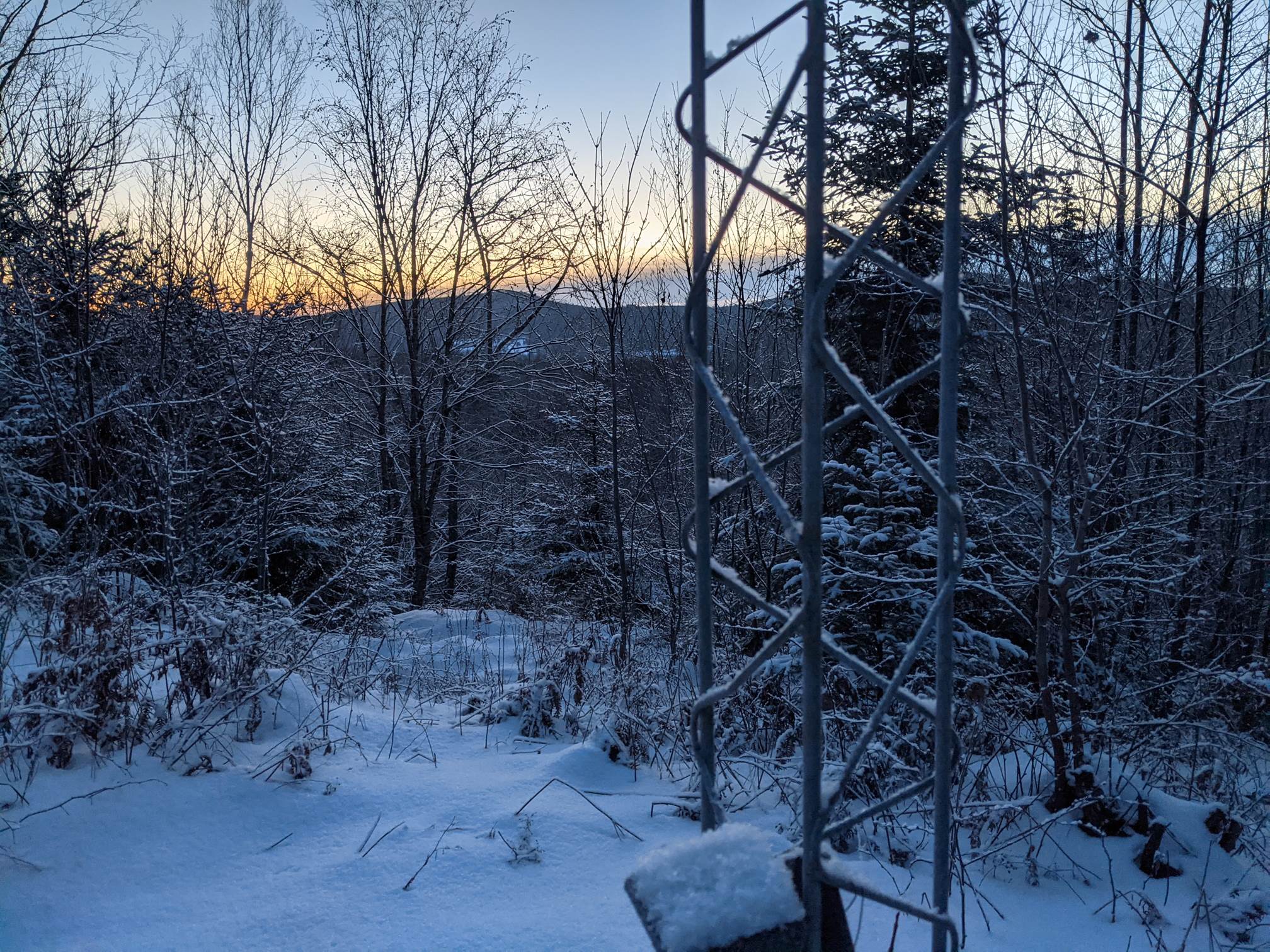
TODAY: High cloudiness with a few hints of sun possible. A high in the mid-teens. Light north wind.
TONIGHT: Scattered cloudiness western areas otherwise mostly clear and frigid. A low ranging 5 above to 10 below. Little wind.
TUESDAY: Partly to mostly sunny. A high in the mid to upper 20s. South to southwest winds 10 mph a little stronger near Lake Champlain.
Looking further ahead…
TUESDAY NIGHT: Becoming mostly cloudy. A low in the teens.
WEDNESDAY: Considerable cloudiness. Scattered sprinkles southern & eastern Vermont. A high upper 30s to around 40.
THURSDAY: Mostly cloudy. Scattered snow showers or flurries in the morning. Minor accumulation. A low in the low to mid 20s. A high in the low to mid 30s.
FRIDAY: Gray & Overcast. Chance for snow…possibly moderate to heavy at times with significant accumulation central and southern areas. A low 15 to 20. A high near 25.
SATURDAY: Partly to mostly sunny. A low zero to 10 above. A high 15 to 20.
Average lows single digits thru low-teens. Average highs mid-20s to low 30s
Met winter peaks January 23rd, End of Met. Winter March 9th
RH/1-3 forecast][end]
