Winter Weather Advisory western and northern Vermont, Winter Storm Warnings central/southern Greens. High wind Advisory western slopes and higher terrain especially S. and C. Vermont.
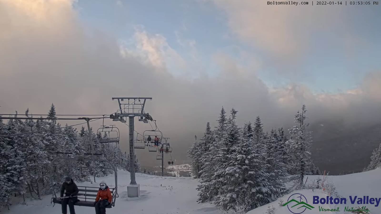
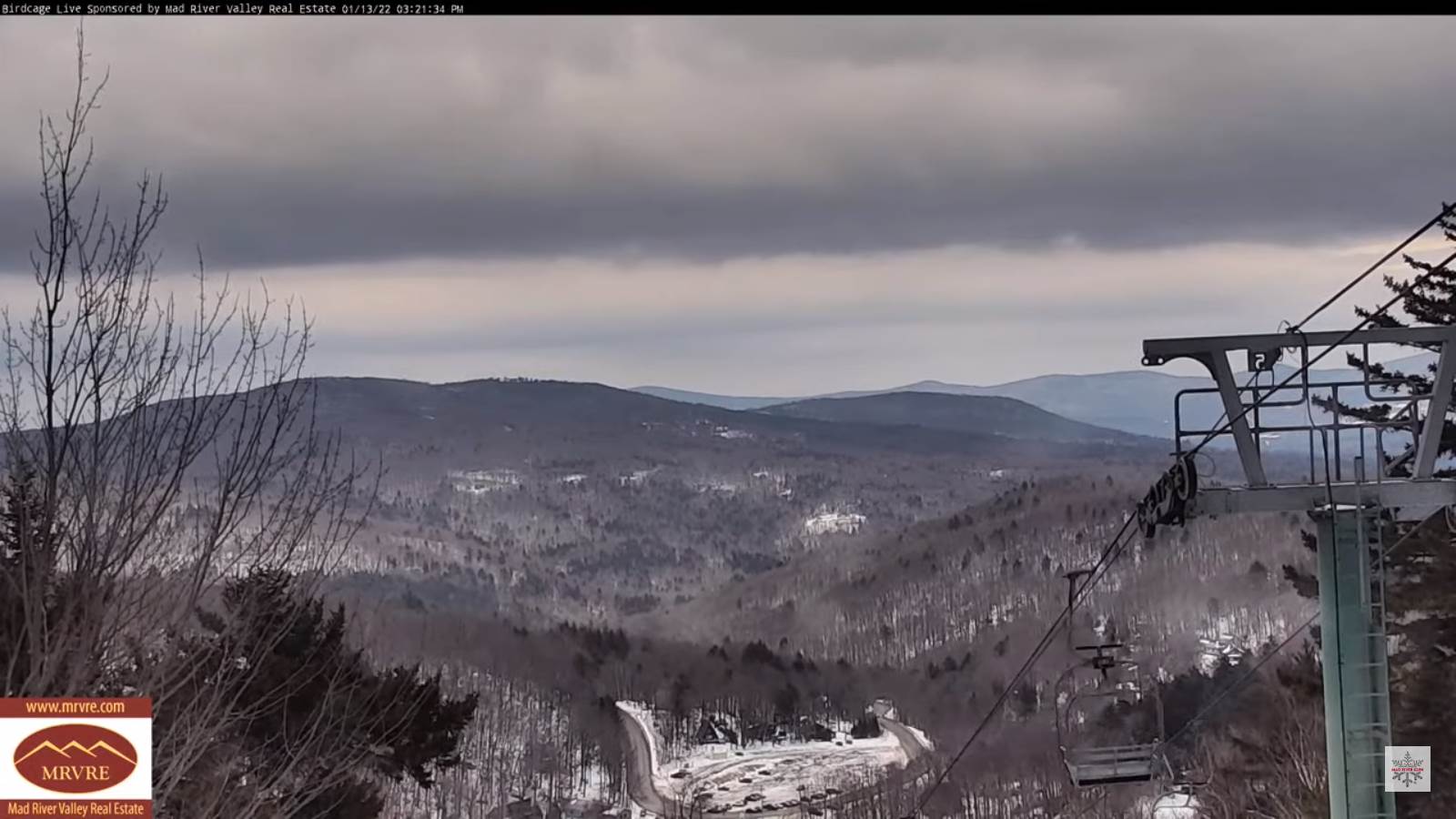
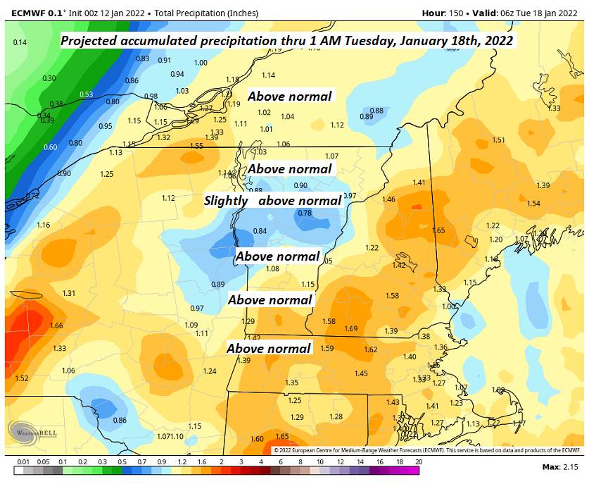
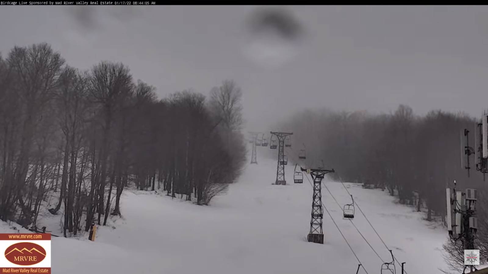
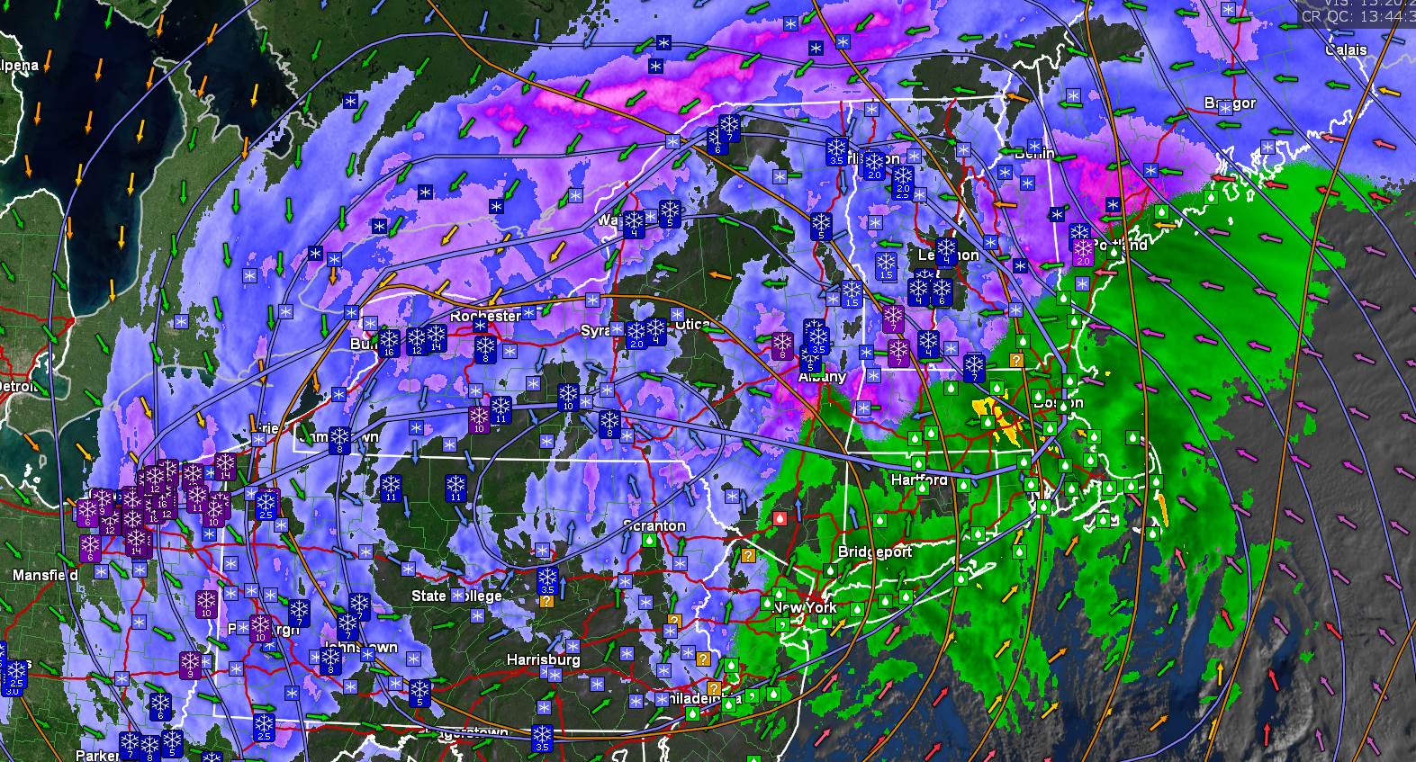
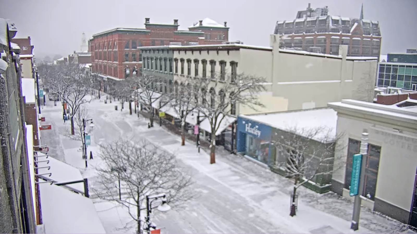
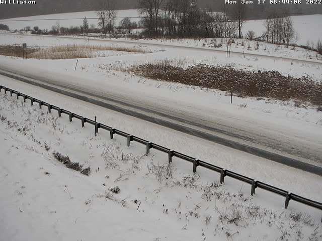
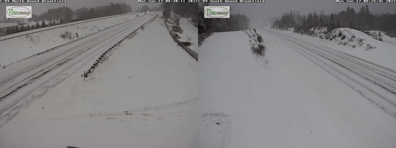
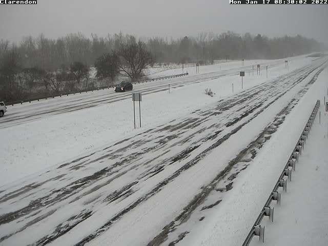
TODAY Martin Luther King Jr. Day: Overcast. Accumulating snow…moderate to briefly heavy at times central and southern Green Mountains…becoming lighter and mixing with a little sleet and rain especially valley floors for a time this afternoon. Accumulations range 2 to 6” Northeast Kingdom Barre-Montpelier and valleys to locally a foot southern Green Mountain summits. Blustery…with near blizzard-like conditions higher elevations this morning. An afternoon high near 35. East to southeast wind 10 to 20 mph with stronger gusts over 40 mph higher terrain especially western slopes of southern and central Green Mountains.
Full Wolf Moon 6:48 PM
TONIGHT: Mostly cloudy.Periods of light snow or snow showers with additional 1 to 2” winding down toward day break.A low 10 to 15. West to northwest winds 10 to 25 mph with few higher gusts with some blowing and drifting.
TUESDAY: A few leftover flurries drying up then increasing especially afternoon sun. Blustery and colder. An early high 10 to 15 then temperatures gradually colder. Little wind.
Looking further ahead…
TUESDAY NIGHT: Clear & partially moonlit skies. A low 10 to 15 below.
WEDNESDAY: Gray. A good chance for snow showers or flurries northern areas with minor accumulation.A late high near 32 degrees.
THURSDAY: Scattered morning snow showers or flurries minor accumulation. Partial afternoon sunshine. Blustery and sharply colder again. Temperatures falling into the single digits above zero.
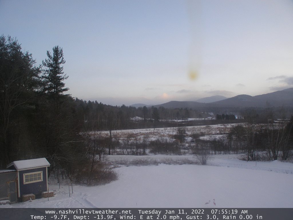
FRIDAY: Mostly sunny with high cloudiness. A low 10 to 20 below. A high 5 above.
Average lows single digits thru low-teens. Average highs ranging thru the 20s.
Met winter peaks January 23rd, End of Met. Winter March 9th
RH/1-17 forecast][end]