Updated Monday Morning Forecast — November 21st, 2022

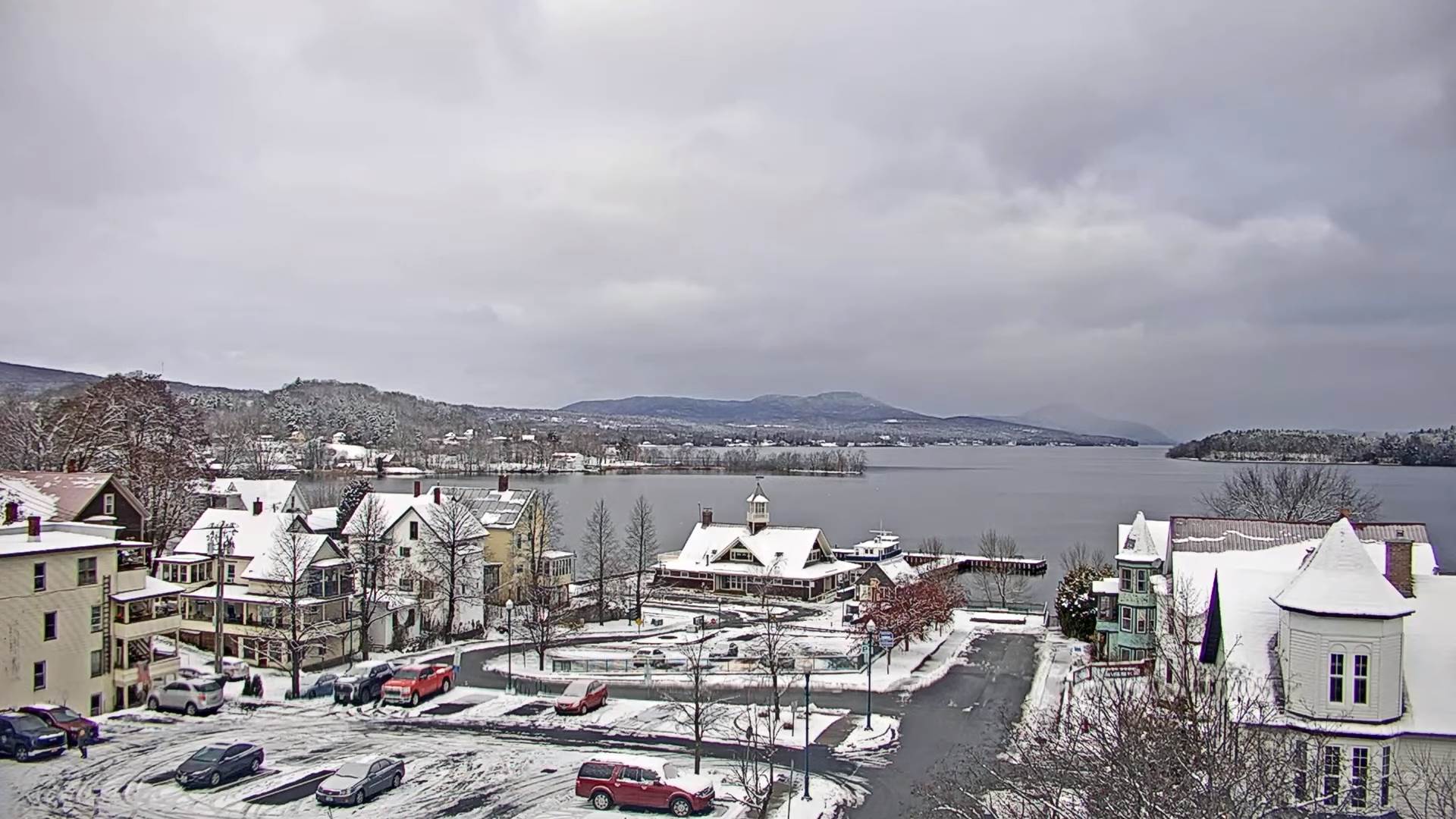
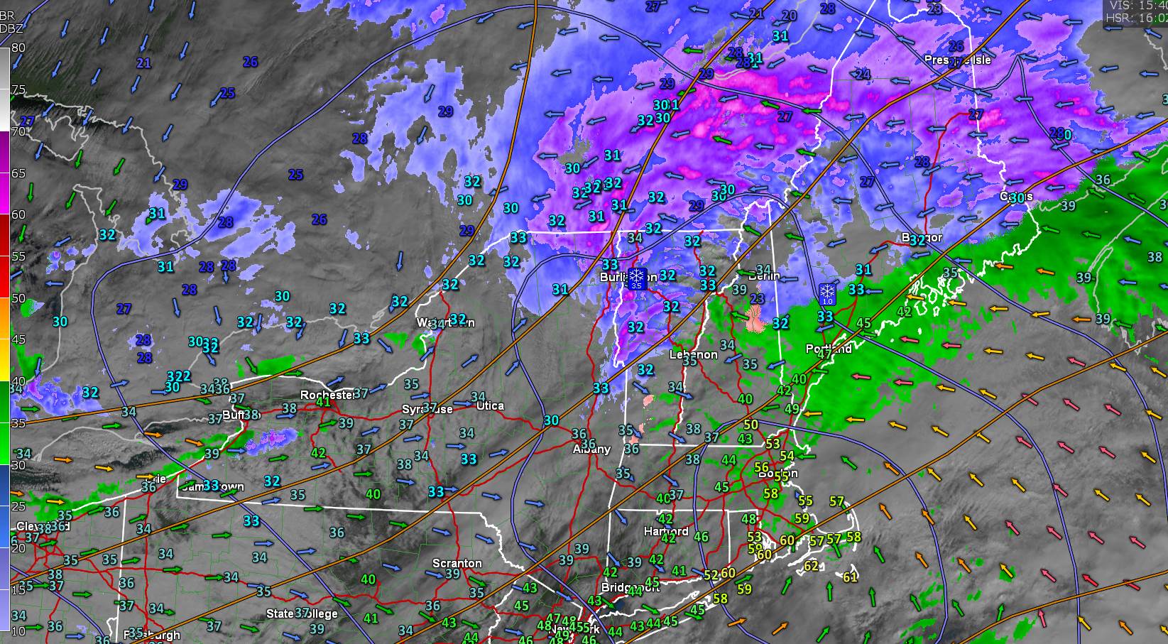
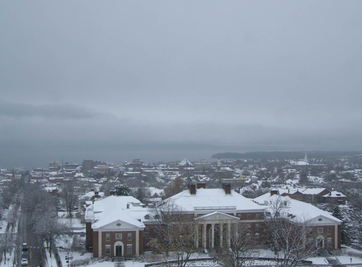
TODAY: Clouds with intervals of sun. A high about 32. South winds 10 mph this afternoon stronger near Lake Champlain.

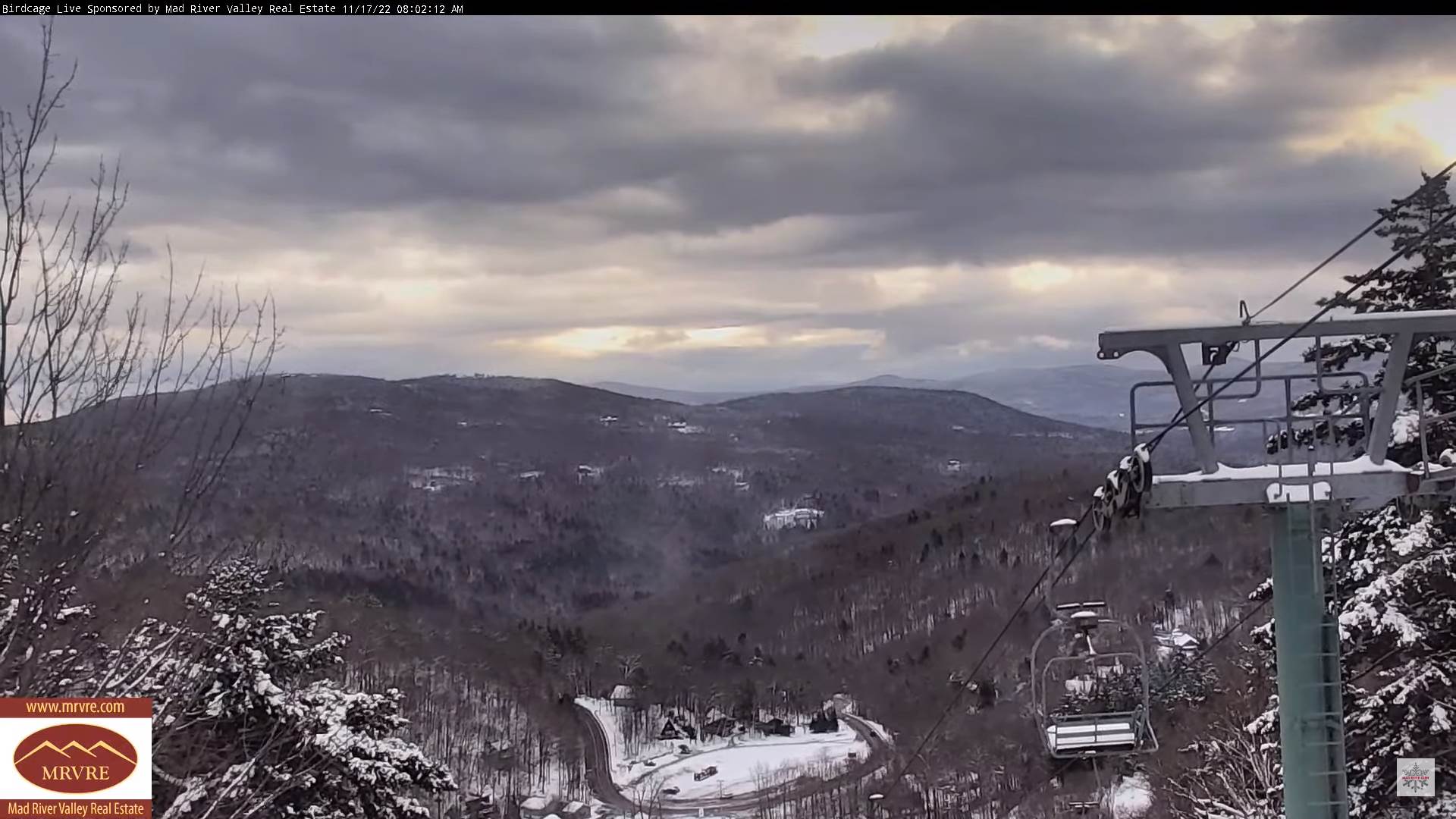
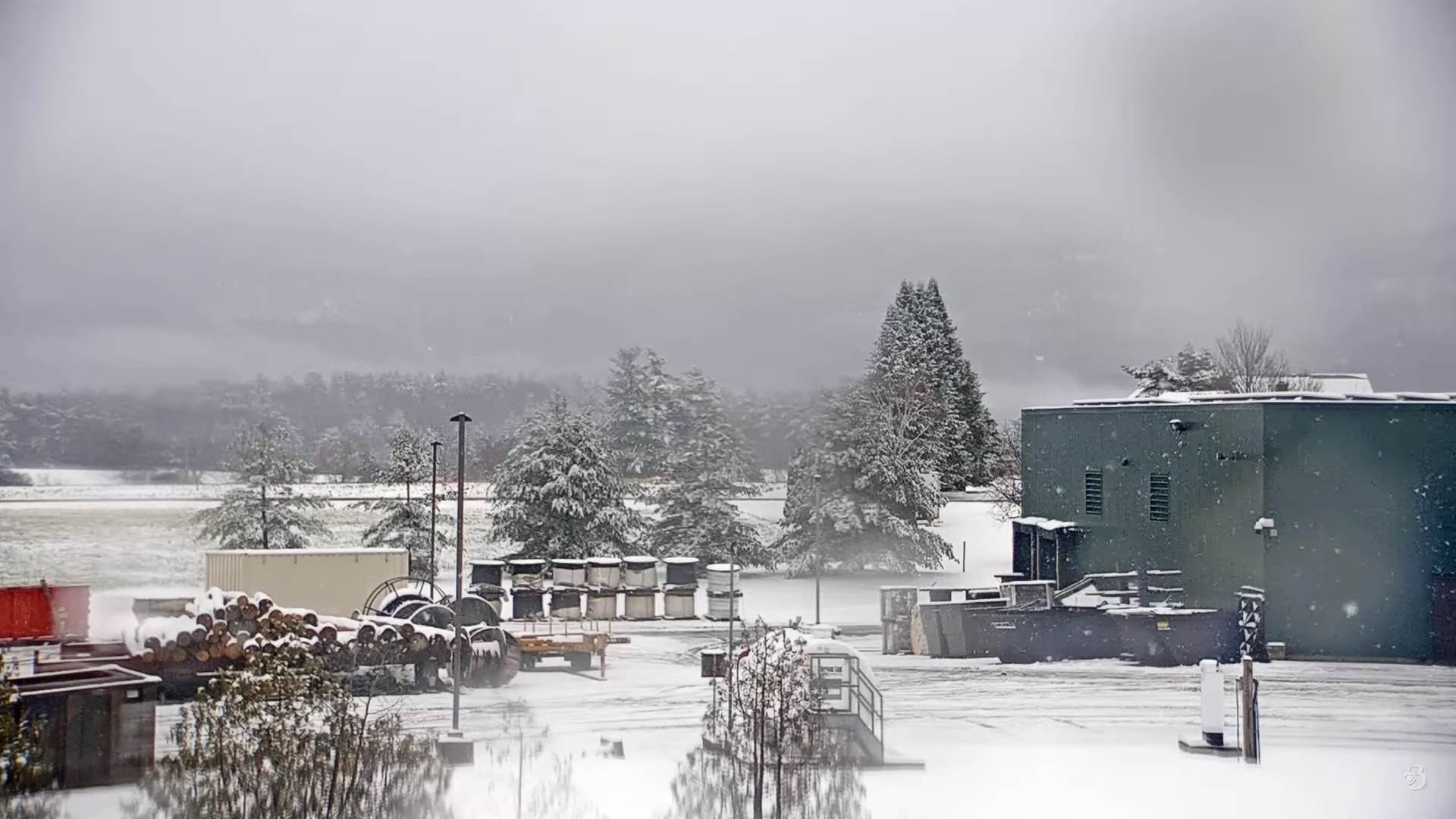
TONIGHT: Partly to mostly cloudy. Blustery at times. Chance for mountain snow showers and valley flurries especially northern high terrain. A dusting to less than an inch in a few spots. A low near 25. South winds shifting to westerly overnight 10 to 20 mph.

TUESDAY: Partly cloudy. A few leftover northern mountain flurries exiting early. A high 35 to 40. Light south to southwest winds.

Looking Further Ahead…

TUESDAY NIGHT: Mostly cloudy.Scattered mountain snow showers & valley flurries northern areas. Accumulations dusting to an inch. A low in the mid-20s.

WEDNESDAY: Mixed clouds and sun. Occasional flurries northern areas. A high in the upper 30s.

THURSDAY THANKSGIVING DAY: “Pick of the week” More clouds than sun. A low 20 to 25. A high upper 30s to near 40.

FRIDAY: Gray and Overcast. Chance for rain, with possible mixed precipitation arriving later in the afternoon. A low 25 to 30. A high in the low to mid 40s.

Average lows low to mid 20s. Average highs upper 30s to mid-40s

RH/11-21forecast][end]

Updated Friday Evening Forecast — November 18th, 2022

TONIGHT: Flurries and mountain snow showers northern areas with some accumulation. Otherwise a few clouds. A low 15 to 20. Light southwest winds.

TOMORROW: Periods of sunshine mixed with mountain clouds. Isolated flurries northwestern Vermont. A high 32 to 35. Light southwest winds.

SATURDAY NIGHT: Partly cloudy to mostly clear. A low 25 to 30. Light south winds stronger near Lake Champlain.

SUNDAY: Lots of clouds. Scattered accumulating snow showers, light accumulation mainly in the mountains. A high upper 20s to around 30. West to northwest winds 10 to 20 mph and gusty.

Looking Further Ahead…

SUNDAY NIGHT: Mostly clear in the evening then more clouds overnight. A low upper single digits to mid-teens.

MONDAY: Variably cloudy. Isolated flurry activity northern areas.. A high 32 to 35.

TUESDAY: More clouds than sun. Scattered mountain flurries. A low in the mid-20s. A high around 35.

WEDNESDAY: Mixed clouds and sun. Chance for flurries northern areas. A low to mid 20s. A high pushing 40.

Average lows 25 to 30. Average highs low to mid 40s.

RH/11-17forecast][end]

Updated Friday morning Forecast — November 18th, 2022

TODAY: Intervals of sun mixed with clouds especially near the mountains. Flurries developing this morning…with a few heavier mountain snow showers northern areas this afternoon. A strong dusting in the mountains, couple inches northern Green Mountains.Ahigh near 35. Southwest breeze 10 to 15 mph.

TONIGHT: A few mountain flurries this evening with linger mountains snow showers northern areas additional light accumulation. Otherwise partly cloudy to mostly clear. A low 15 to 20. Light southwest winds.

SATURDAY: Periods of sunshine mixed with mountain clouds. Scattered mountain snow showers and flurries. Dusting to 2” northern Greens. A high 32 to 35. Light southwest winds.

Looking Further Ahead…

SATURDAY NIGHT: Partly cloudy to mostly clear. A low 25 to 30.

SUNDAY: Lots of clouds. Scattered accumulating snow showers with some light accumulation Barre-Montpelier area north. A high upper 20s to around 30.

MONDAY: Variably cloudy. Isolated flurry activity northern areas. A low upper single digits to mid-teens. A high 32 to 35.

TUESDAY: More clouds than sun. Scattered mountain flurries. A low ion the mid-20s. A high around 35.

WEDNESDAY: Mixed clouds and sun, then more clouds. A low in the low to mid 20s. A high pushing 40.

Average lows 25 to 30. Average highs low to mid 40s.

RH/11-17forecast][end]

Updated Thursday Morning Forecast — November 17th, 2022

TODAY: Clouds, with breaks of sunshine away from the mountains. Scattered snow showers & flurries. Minor accumulation far northern, and far southern areas. A high near 35. West breeze 10 to 20 mph and gusty.

TONIGHT: Partly cloudy. An isolated flurry. Colder. A low in the mid-teens. Light southwest winds.

FRIDAY: More clouds than sun. Accumulating lake effect snow showers northern Green Mountains…dusting to 2 inches, otherwise mostly dry elsewhere.A high around 35. Southwest breeze 10 to 15 mph.

Looking Further Ahead…

FRIDAY NIGHT: Becoming mostly clear. A low in the teens.

SATURDAY: Periods of sunshine mixed with mountains clouds. A high 32 to 35.

SUNDAY: Lots of clouds. Scattered accumulating snow showers with some light accumulation Barre-Montpelier area north. A low in the mid-teens to near 20. A high upper 20s to around 30.

MONDAY: Mostly cloudy. Isolated flurry activity northern areas. A low ranging 15 to 25. A high near 32.

TUESDAY: More sun than clouds. Scattered mountains flurries. A low in the 20s. A high 35 to 40.

Average lows 25 to 30. Average highs low to mid 40s.

RH/11-17forecast][end]

Updated Wednesday Evening Forecast — November 16th, 2022

TONIGHT: Mostly cloudy. Northern Green Mountain snow showers with minor accumulation. A low mid to upper 20s. Light west winds.

TOMORROW: Lots of clouds. Scattered snow showers & flurries with minor accumulation mainly in the mountains. A high 32 to 35. West breeze 10 to 20 mph and gusty.

THURSDAY NIGHT: Partly cloudy. An isolated flurry. Colder. A low in the low to mid-teens. Light southwest winds.

FRIDAY: More clouds than sun. Good chance for accumulating lake effect snow showers northern Green Mountains…dusting to 2 inches.A high around 35. Southwest breeze 10 to 15 mph.

Looking Further Ahead…

FRIDAY NIGHT: Becoming mostly clear. A low in the teens.

SATURDAY: Partly to mostly cloudy. Widely scattered flurries mainly northern mountains. A high near 32.

SUNDAY: Lots of clouds. Scattered snow showers with minor accumulation. A low in the mid-teens to near 20. A high mid to upper 20s.

MONDAY: Mixed sun and clouds. Chance for snow showers far northern areas.

Average lows 25 to 30. Average highs low to mid 40s.

RH/11-15forecast][end]

Updated Wednesday Morning Forecast — November 16th, 2022

Winter Weather Advisory expires later today…

THIS AFTERNOON: Gray. Wet…mostly light accumulating snow northwest of the Barre-Montpelier area tapering to flurries. A wintry mix southeastern two-thirds of the state changing back to flurries before exiting. A high about 35. Light variable winds.

TONIGHT: Mostly cloudy. Mountain flurries. A low mid to upper 20s. Light west winds.

TOMORROW: Considerable cloudiness. Scattered snow showers & flurries with minor accumulation in the mountains. A high 32 to 35. West breeze 10 to 15 mph.

Looking Further Ahead…

THURSDAY NIGHT: Partly to mostly cloudy. An isolated flurry or two. A low ranging thru mid and upper teens.

FRIDAY: Sunshine mixed with clouds. Chance for lake effect snow showers with some accumulation northern areas, otherwise more limited central and south. A high near 35.

SATURDAY: Partly to mostly cloudy. Widely scattered flurries mainly northern mountains. A low in the teens. A high near 32.

SUNDAY: Lots of clouds. Scattered mountain flurries. A low in the mid-teens to near 20. A high mid to upper 20s.

Average lows 25 to 30. Average highs low to mid 40s.

RH/11-15forecast][end]

Updated Tuesday Evening Forecast — November 15th, 2022

Winter Weather Advisory Midnight tonight thru 7 PM Wednesday…

TONIGHT: Cloudy, Accumulating snow develops around midnight, up to couple inches southern areas, less than an inch northern areas. A low 25 to 30. Light east winds.

TOMORROW: Gray. Accumulating wet snow & sleet moderate at times mixing with sleet and brief periods of rain in the afternoon central and southern areas. Total accumulation 2 to 6” with the most in northern mountains. A high 32 to 35. Light variable winds.

WEDNESDAY NIGHT: Scattered accumulating snow showers and flurries. Additional dusting to 2” western slopes & northern Green Mountains. A low mid to upper 20s. Light west winds.

THURSDAY: Considerable cloudiness. Scattered snow showers & flurries. A high 32 to 35. West breeze 10 to 15 mph.

Looking Further Ahead…

THURSDAY NIGHT: Mostly cloudy with an isolated flurry or two. A low ranging thru mid and upper teens.

FRIDAY: Sunshine mixed with clouds. Chance for lake effect snow showers limited accumulation. A high near 35.

SATURDAY: Partly to mostly cloudy. Widely scattered flurries mainly in the mountains. A low in the teens. A high near 32.

SUNDAY: Lots of clouds. Scattered mountain flurries. A low in the mid-teens to near 20. A high mid to upper 20s.

Average lows 25 to 30. Average highs low to mid 40s.

RH/11-15forecast][end]

Updated Tuesday Morning Forecast — November 15th, 2022

TODAY: Intervals of sun mixed with mainly high cloudiness. A high mid to upper 30s. Light northwest winds.

Winter Weather Advisory Midnight tonight thru 7 PM Wednesday…

TONIGHT: Clouding up, with a rising chance for light accumulating snow after midnight, up to couple inches southern areas. A low 25 to 30. Light east winds.

WEDNESDAY: Gray. Accumulating mostly wet snow, moderate at times mixing with sleet in the afternoon. Total accumulation 3 to 6”. A high in the mid-30s. Light east to northeast winds.

Looking Further Ahead…

WEDNESDAY NIGHT: Steady snowfall exits the Northeast Kingdom to scattered accumulating snow showers and flurries. Additional dusting to 2” western slopes & northern Green Mountains. A low in the upper 20s.

THURSDAY: Scattered snow showers & flurries. A high around 35.

FRIDAY: Sunshine mixed with clouds. Chance for lake effect snow showers limited accumulation. A low 15 to 20. A high near 35.

SATURDAY: Partly to mostly cloudy. Scattered flurries mainly in the mountains. A low 15 to 20. A high around 30.

Average lows 25 to 30. Average highs low to mid 40s.

RH/11-15forecast][end]

Updated Monday Evening Forecast — November 14th, 2022

TONIGHT: Mostly cloudy north, partly cloudy central and south. A low 20 to 25. Light northwest winds.

TOMORROW: Intervals of sun. A high mid to upper 30s. Light northwest winds.

TUESDAY NIGHT: Clouding up, with a rising chance for light accumulating snow after midnight, up to an inch southern areas. A low 25 to 30. Light east winds.

WEDNESDAY: Gray. Accumulating snow, possibly moderate to heavy at times mixing with some sleet. Several inches of wet slushy accumulation mountain summits, lesser amounts valley floors. A high 32 to 35. Light east to northeast winds.

Looking Further Ahead…

WEDNESDAY NIGHT: Steady snowfall exits the Northeast Kingdom to scattered accumulating snow showers and flurries. Additional dusting to 2” in the western slopes for the Green Mountains. A low in the upper 20s.

THURSDAY: Scattered snow showers & flurries. A high around 35.

FRIDAY: Sunshine mixed with clouds. Chance for lake effect snow showers limited accumulation. A low ranging mid-teens to lower 20s. A high 32 to 35.

SATURDAY: Partly to mostly cloudy. Scattered flurries mainly in the mountains.

Average lows 25 to 30. Average highs low to mid 40s.

RH/11-14forecast][end]

Updated Monday Morning Forecast — November 14th, 2022

TODAY: More clouds than sun, with a few mountain snow flakes this morning. Blustery. A high around 35. Northwest winds 10 to occasionally 20 mph

TONIGHT: Mostly cloudy north, partly cloudy central and south. A low in the low to mid 20s. Light northwest winds.

TUESDAY: Mixed clouds and intervals of sun. A high 35 to 40. Light northwest winds.

Looking Further Ahead…

TUESDAY NIGHT: Partly cloudy early, clouding up later overnight. A low mid to upper 20s.

WEDNESDAY: Gray. A rising chance for accumulating snow, possibly moderate to heavy at times…several inches of wet slushy early season accumulation above 1500-2000 ft., with 1 to locally 4” valley floors. Snow may mix with sleet at times especially southern areas. A high 32 to 35.

THURSDAY: Scattered snow showers & flurries. A low in the upper 20s. A high around 35.

FRIDAY: Sunshine mixed with clouds. Chance for lake effect snow showers limited accumulation. A low ranging mid-teens to lower 20s. A high 32 to 35.

Average lows 25 to 30. Average highs low to mid 40s.

RH/11-14forecast][end]