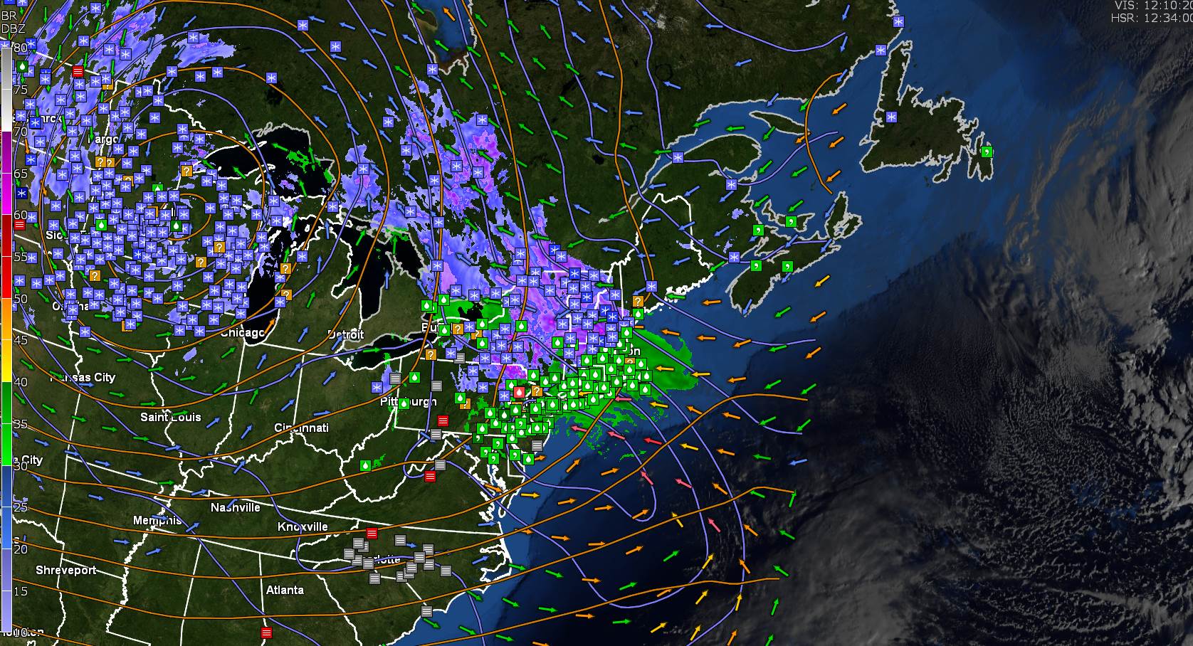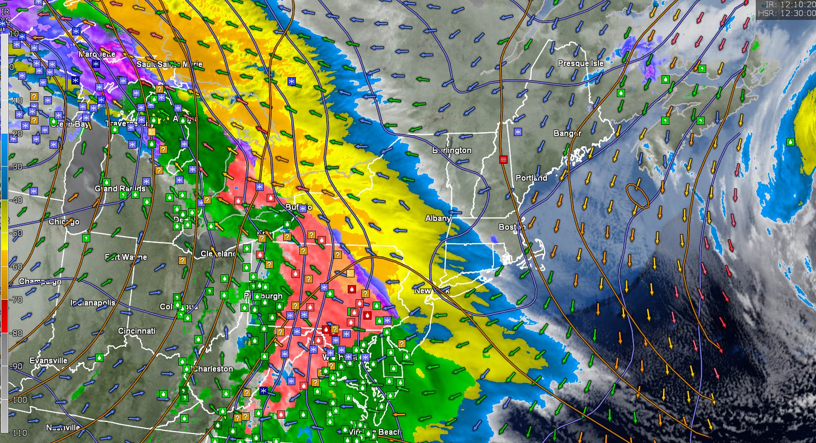
Winter Storm Warning thru 1 PM Saturday
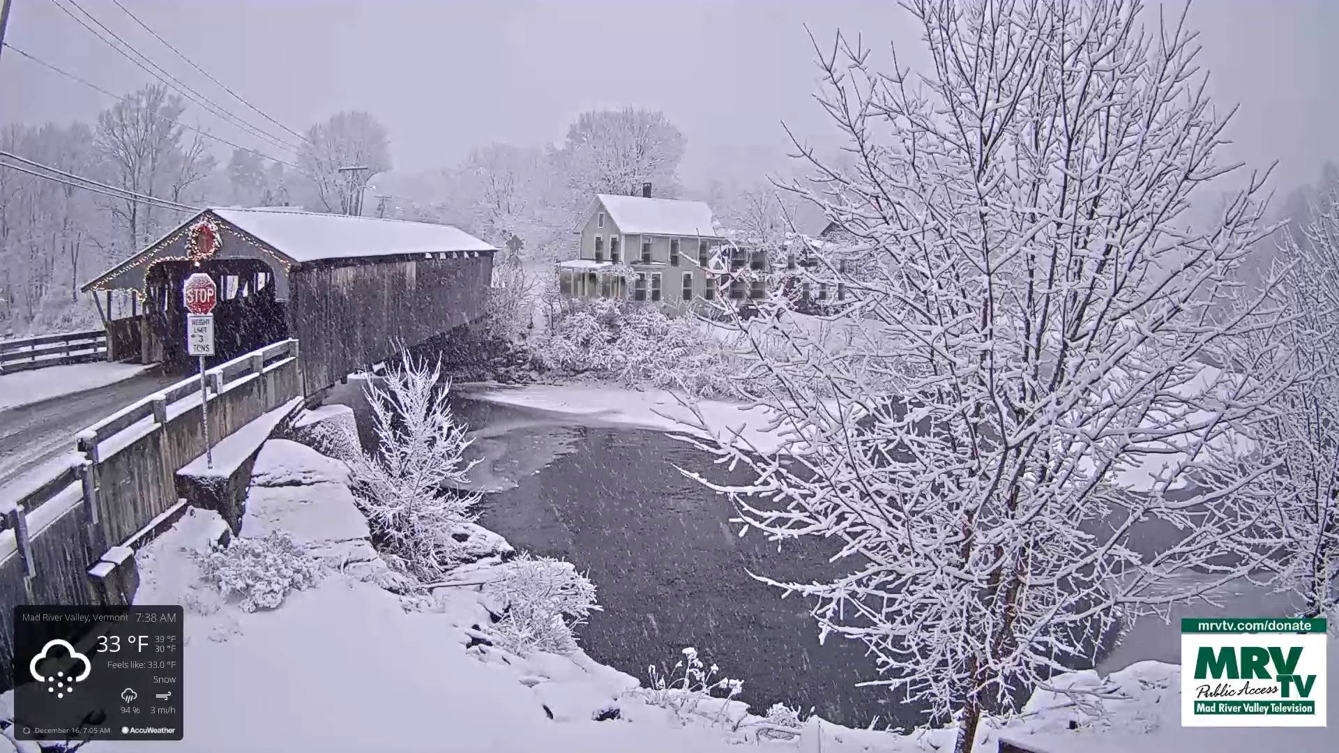
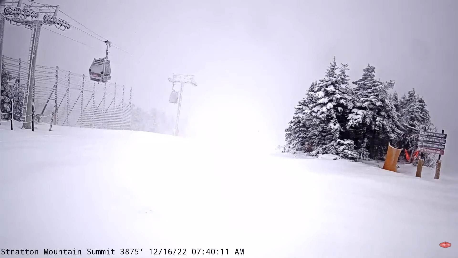
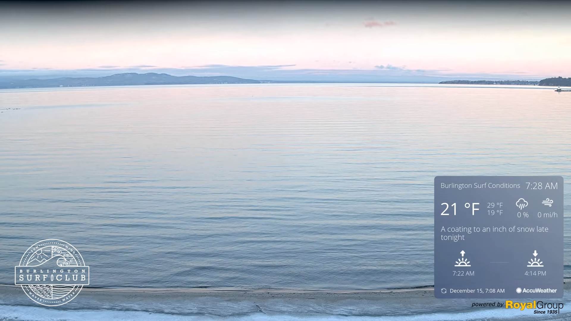
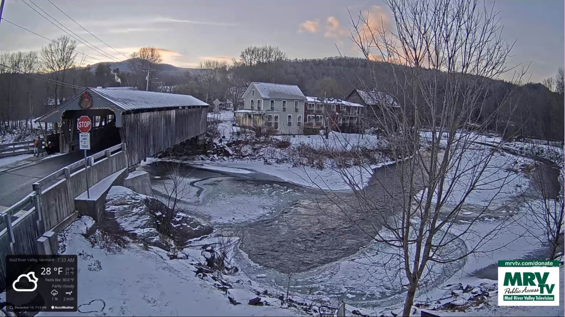
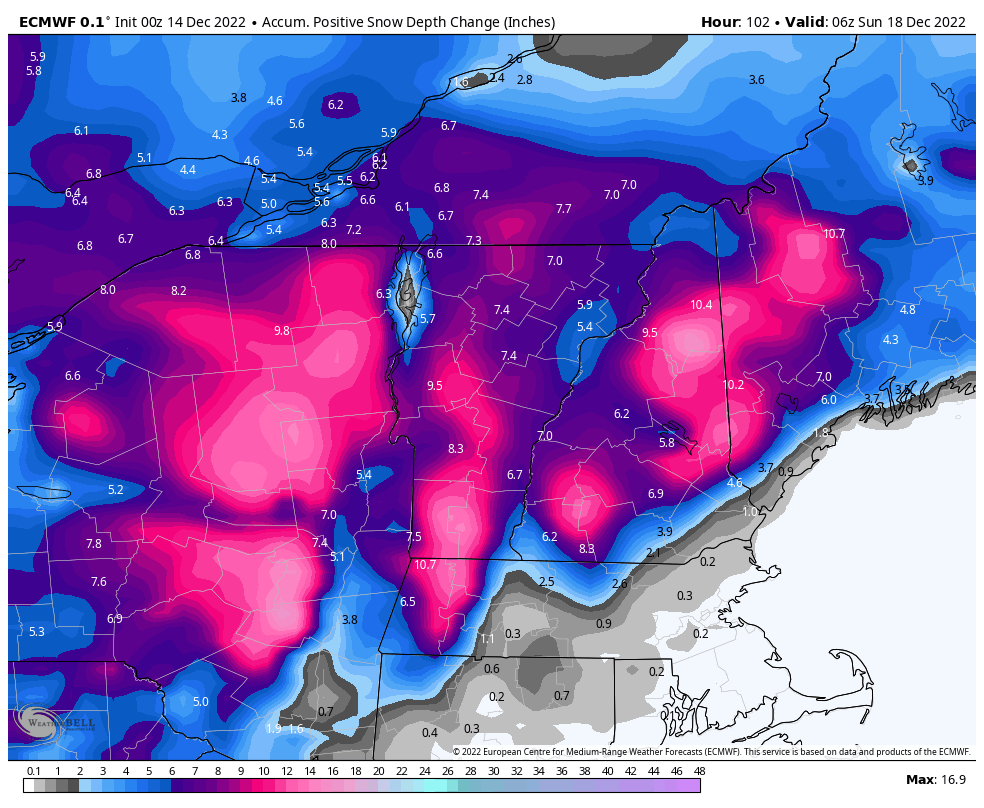
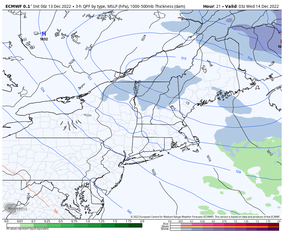
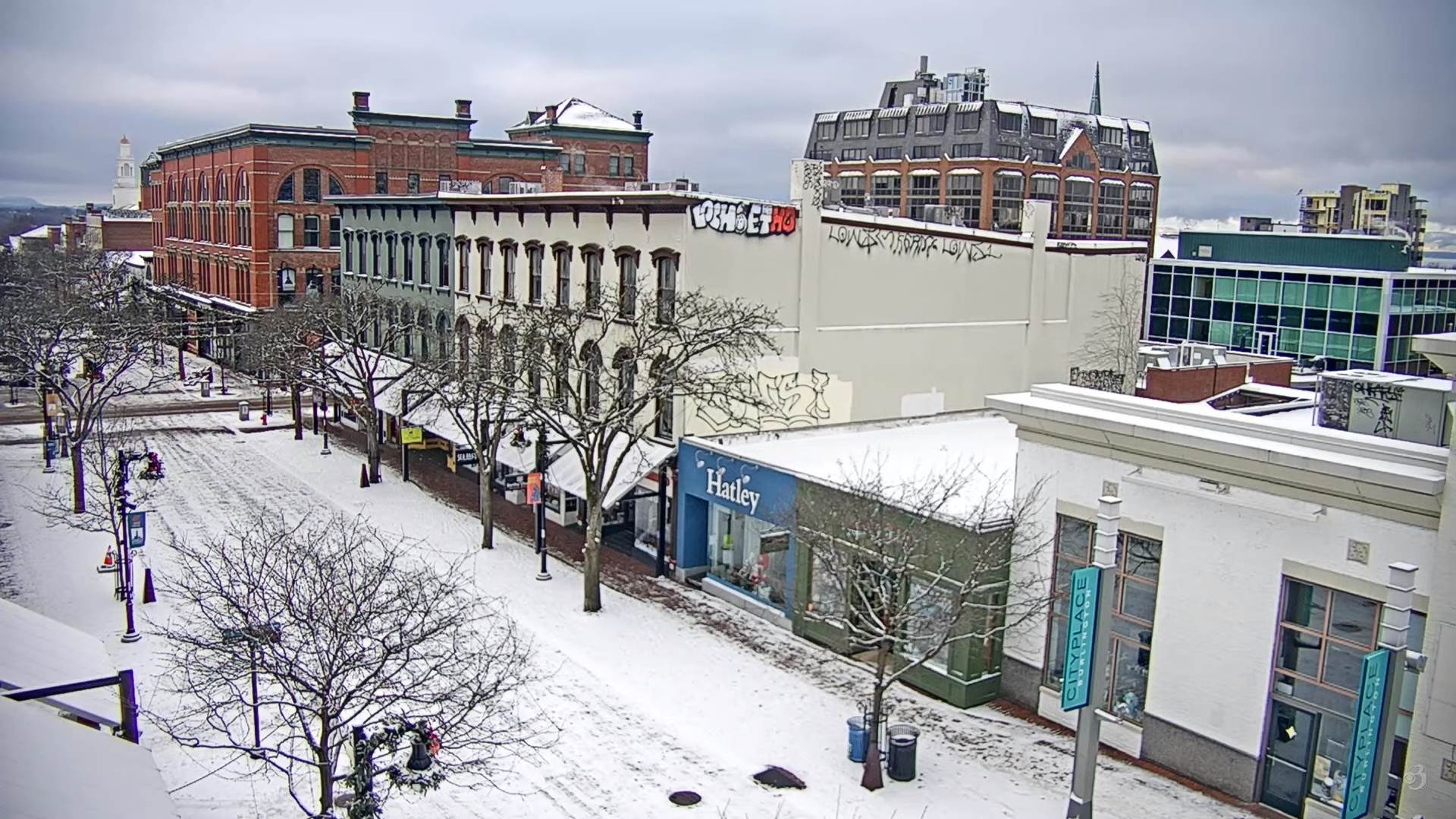
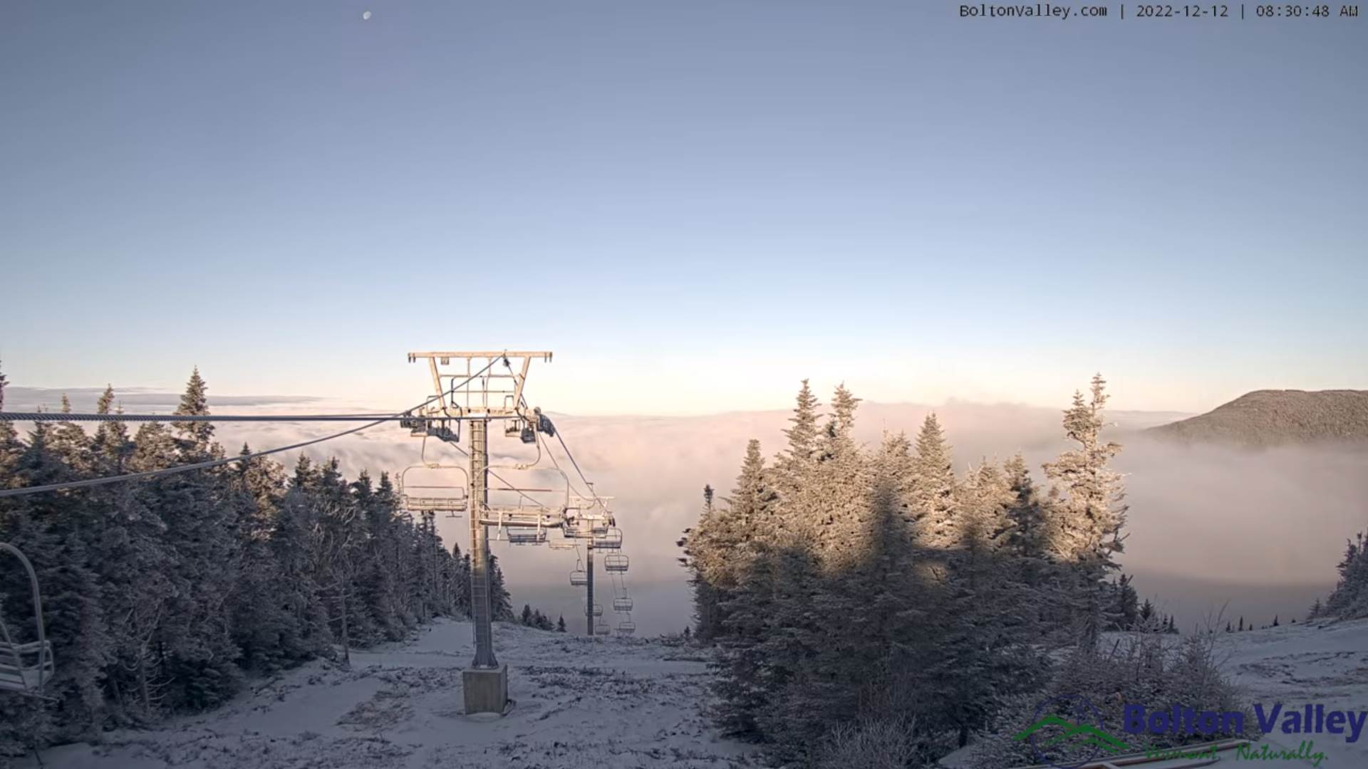
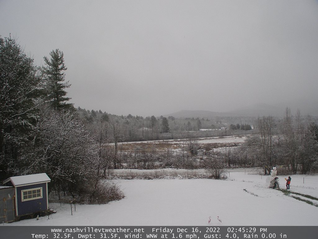
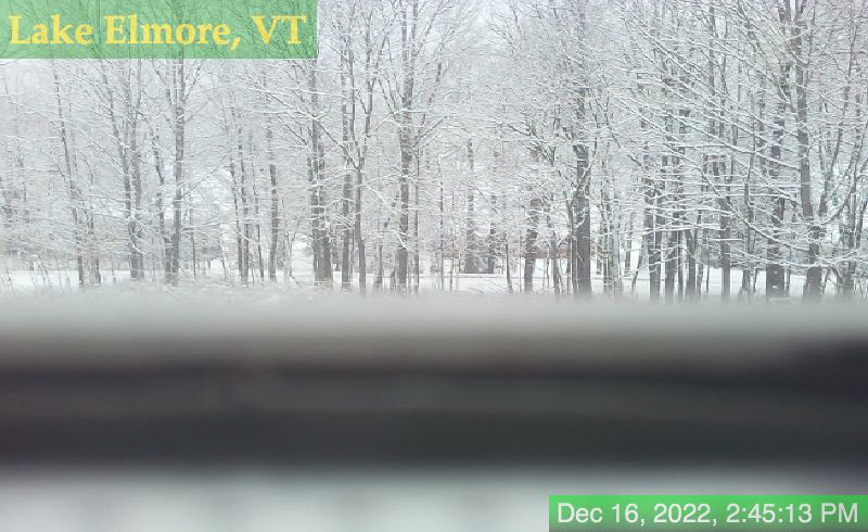
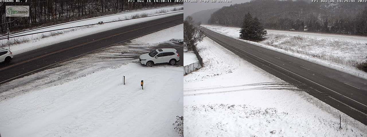
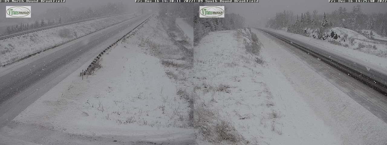
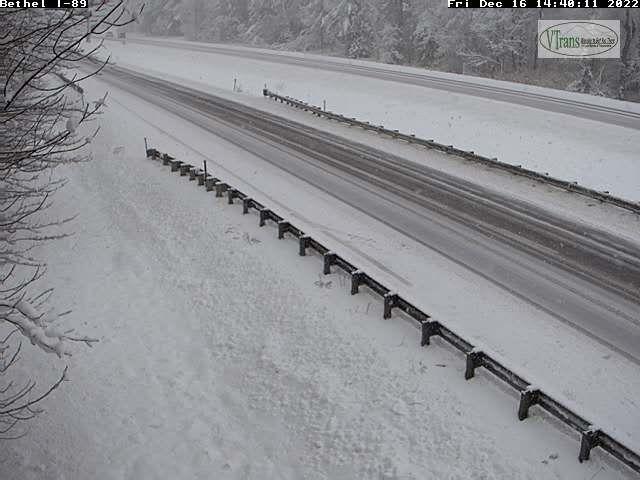
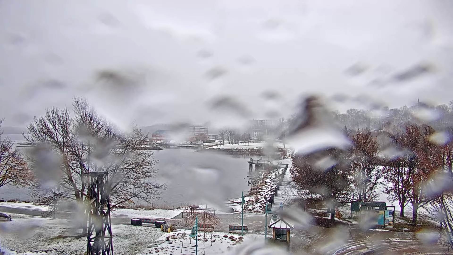
TONIGHT: Cloudy. Periods of accumulating wet snow moderate at times. Additional accumulation about 2 to locally 6” valleys & 4 to 10” additional Green Mountains/high terrain. A low 30 to 32. Light north to northeast winds.
TOMORROW: Gray. Leftover accumulating snow tapering to snow showers. Additional accumulation about dusting to 3” by early afternoon. A high 32 to 35. West to northwest winds 10 mph.
SATURDAY NIGHT: Lots of clouds. A few stray northern flurries. A low in the teens. Light southwest winds.
SUNDAY: Clouds mixed with intervals of sunshine later on. A high around 30. Light west winds.
Looking Further Ahead…
SUNDAY NIGHT: Mostly cloudy. Widely scattered flurries. A low 20 to 25.
MONDAY: Partly to mostly cloudy. Chance for flurries and mountain snow showers with minor accumulation. A high about 30.
TUESDAY: Partly sunny. A low 20 to 25. A high in the upper 20s
WEDNESDAY: Mixed clouds and sun. A low 15 to 20. A high upper 20s to about 30.
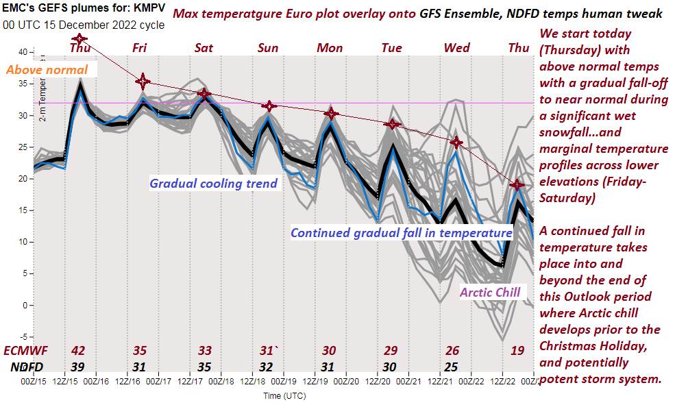
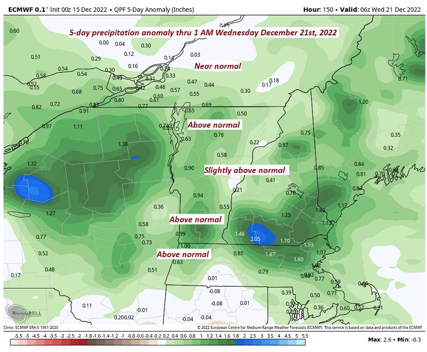
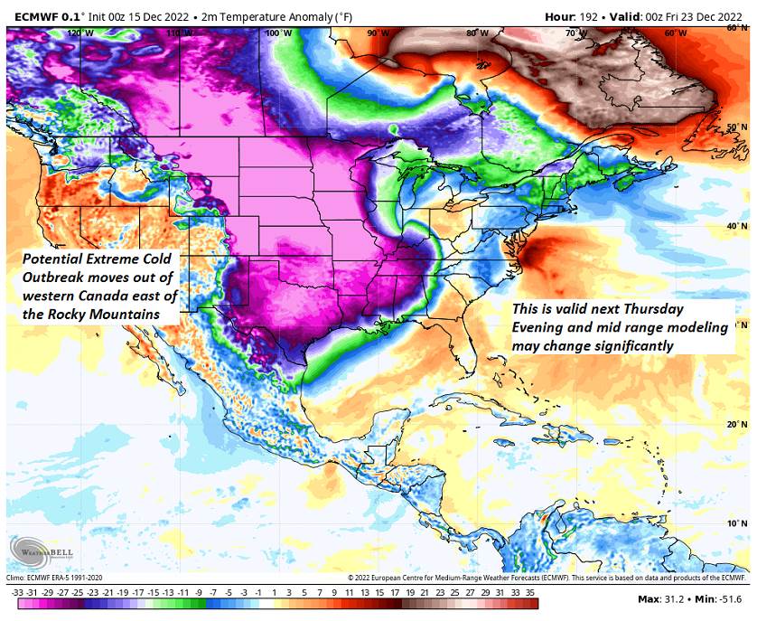
Note* potentially large winter storm late next week…
Average lows low to mid-teens. Average highs upper 20s to mid-30s
Climatological winter in progress…peaks coldest approx. January 22nd ends March 9th…
RH/12-16forecast][end]