
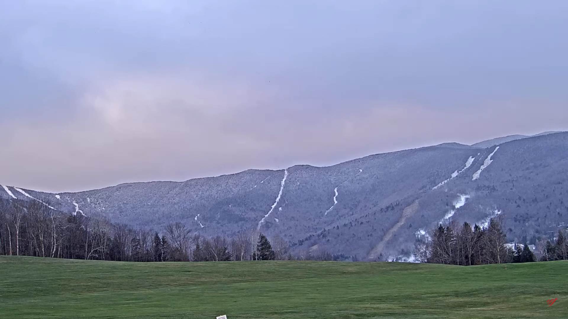
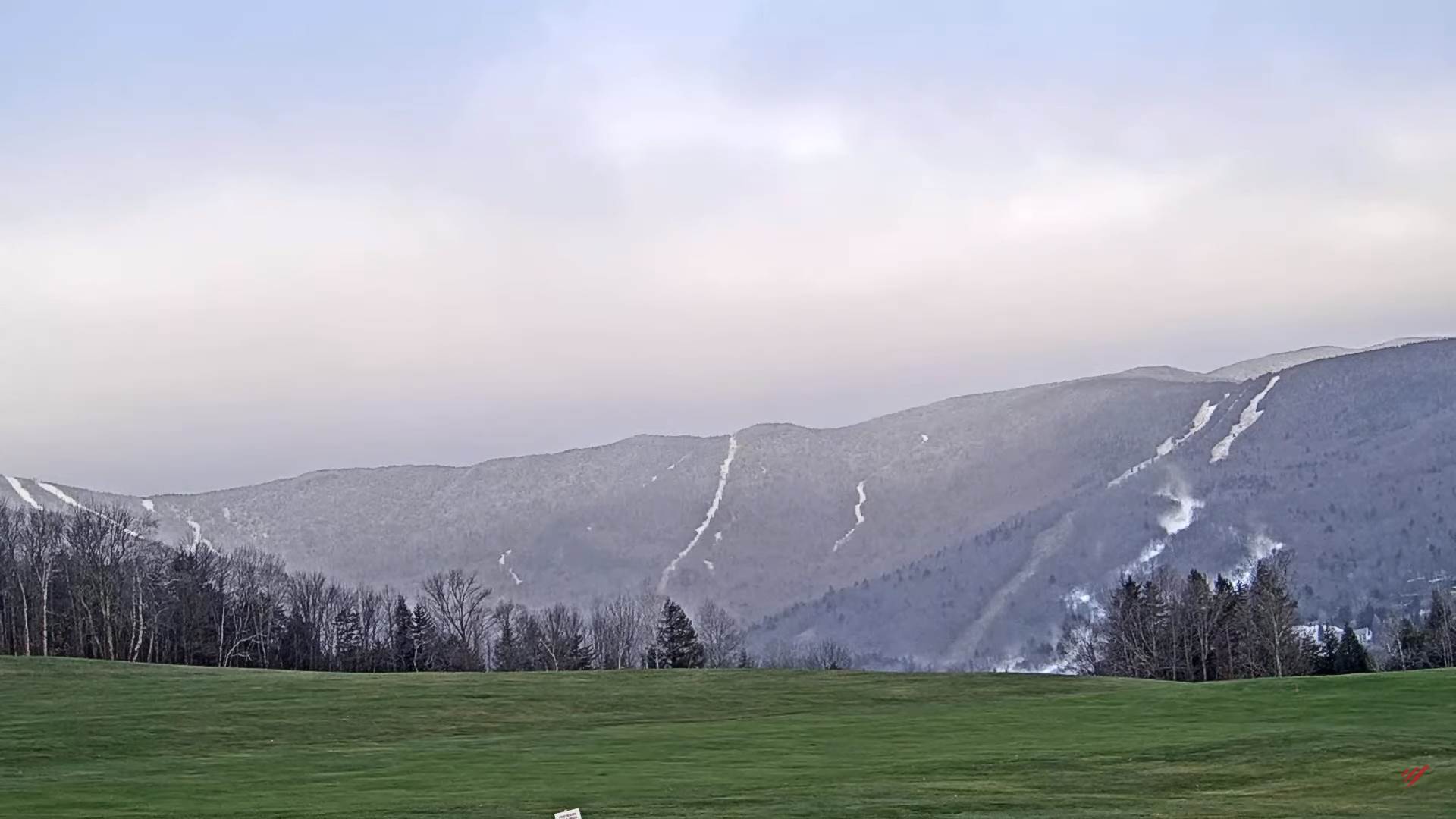
TODAY: More clouds than sun, with a few mountain snow flakes this morning. Blustery. A high around 35. Northwest winds 10 to occasionally 20 mph
TONIGHT: Mostly cloudy north, partly cloudy central and south. A low in the low to mid 20s. Light northwest winds.
TUESDAY: Mixed clouds and intervals of sun. A high 35 to 40. Light northwest winds.
Looking Further Ahead…
TUESDAY NIGHT: Partly cloudy early, clouding up later overnight. A low mid to upper 20s.
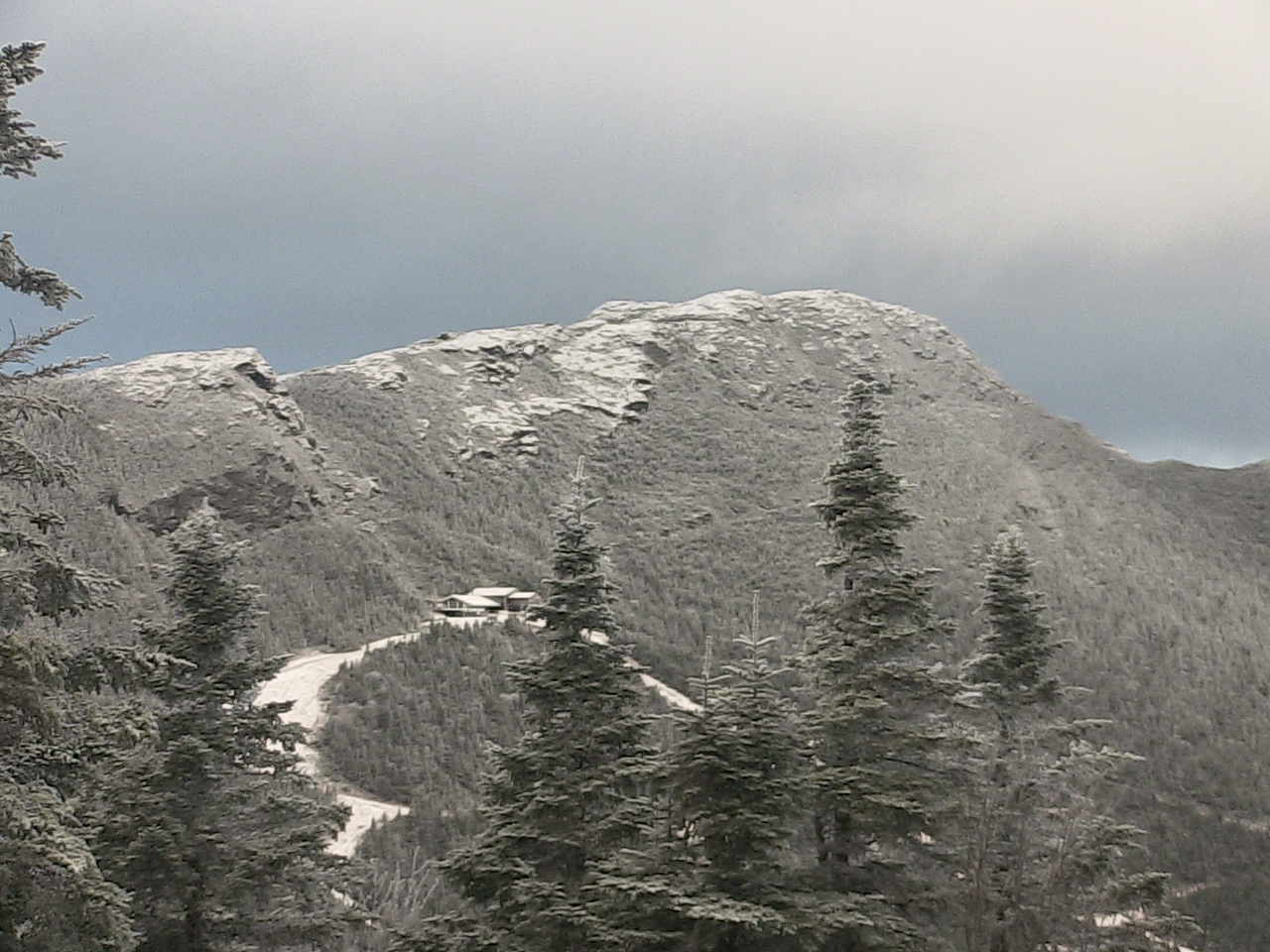
WEDNESDAY: Gray. A rising chance for accumulating snow, possibly moderate to heavy at times…several inches of wet slushy early season accumulation above 1500-2000 ft., with 1 to locally 4” valley floors. Snow may mix with sleet at times especially southern areas. A high 32 to 35.
THURSDAY: Scattered snow showers & flurries. A low in the upper 20s. A high around 35.
FRIDAY: Sunshine mixed with clouds. Chance for lake effect snow showers limited accumulation. A low ranging mid-teens to lower 20s. A high 32 to 35.
Average lows 25 to 30. Average highs low to mid 40s.
RH/11-14forecast][end]
