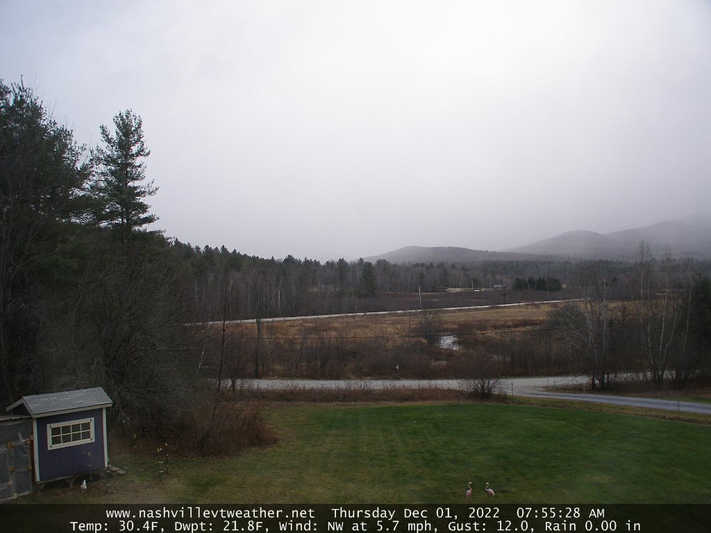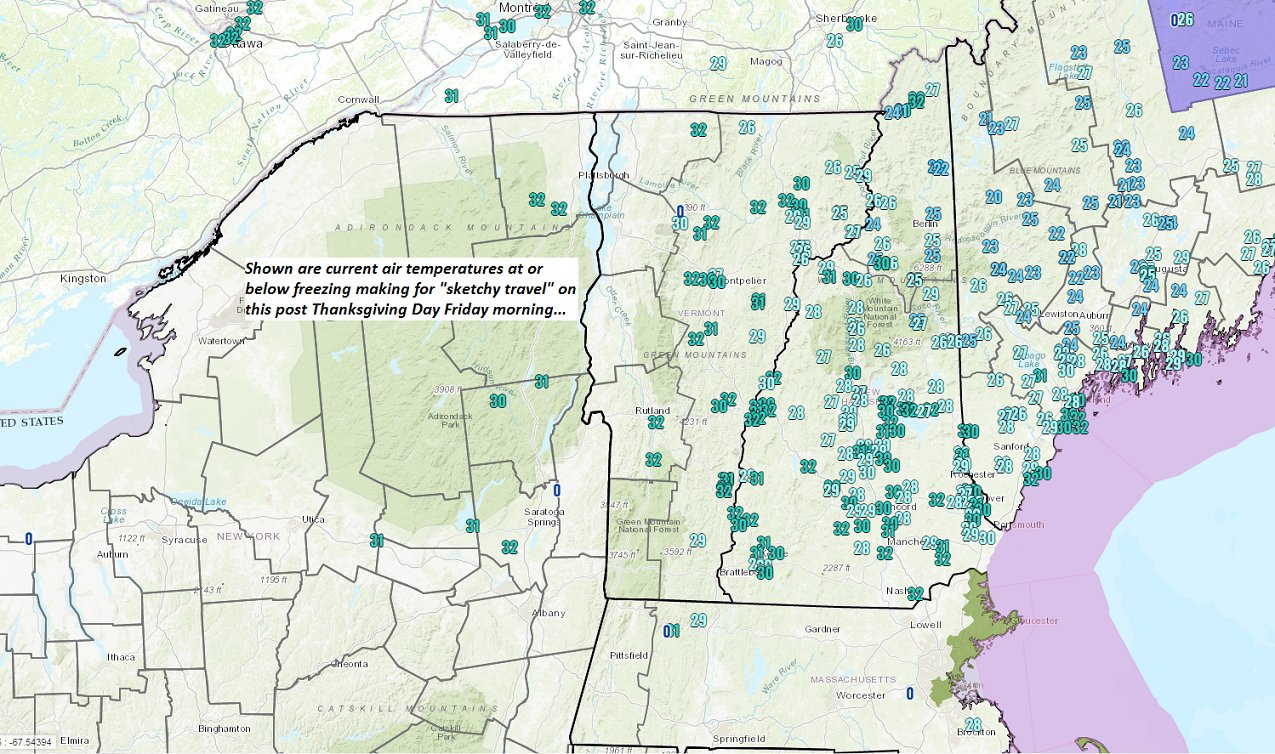
TONIGHT: Partly cloudy early, then clearing and cold. A low around 25. Light northwest winds.
TOMORROW: Pick of the week. Variable high clouds but with lots of sunshine. A high upper 30s to near 40. South breeze 10 mph, stronger toward Lake Champlain.
FRIDAY NIGHT: Clouding up. A low in the upper 20s. South to southeast winds picking up 10 to 15 mph, stronger near the lake.
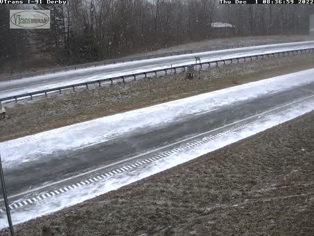
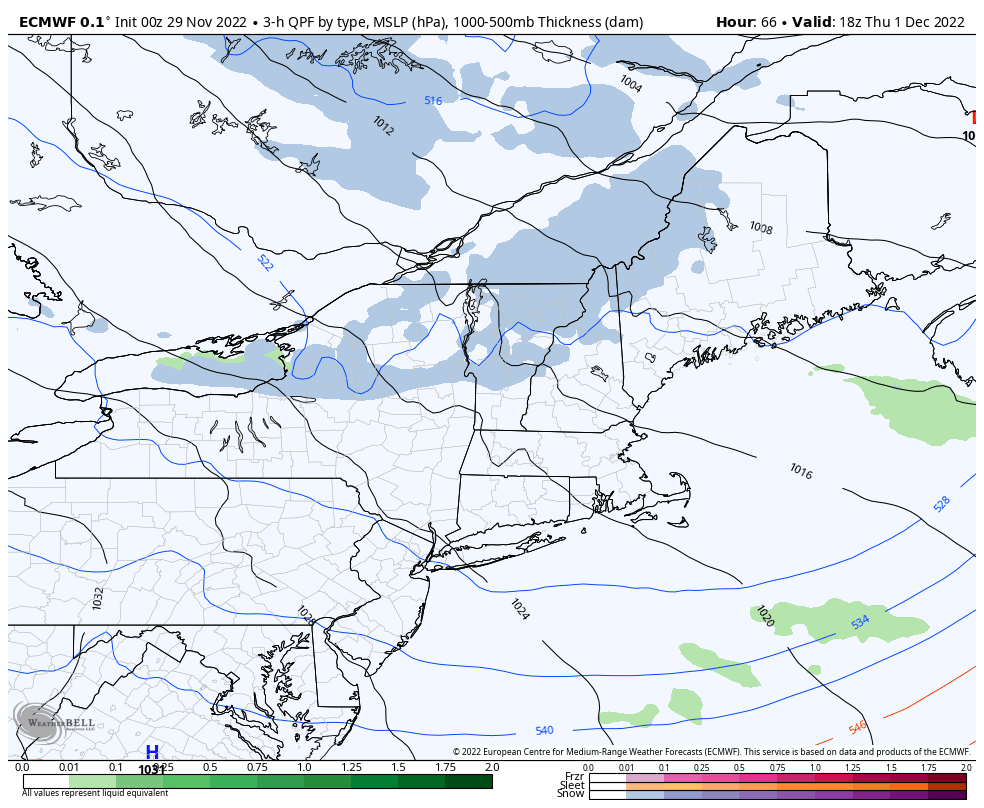
SATURDAY: Gray. Rain showers likely…possibly with brief mixed precipitation at onset. Breezy to windy. A high mid to upper 40s. South winds 10 to 20 mph shifting to southwesterly late.
Looking Further Ahead…
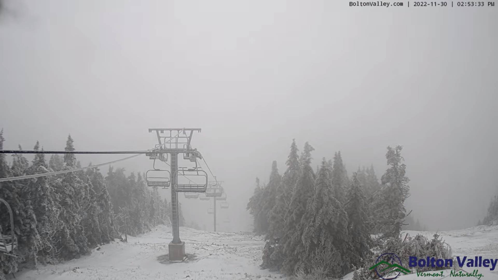
SATURDAY NIGHT: A few leftover mountain flurries drying up. Otherwise clearing. A low in the mid-20s.
SUNDAY: Partly to mostly sunny. A high upper 30s.
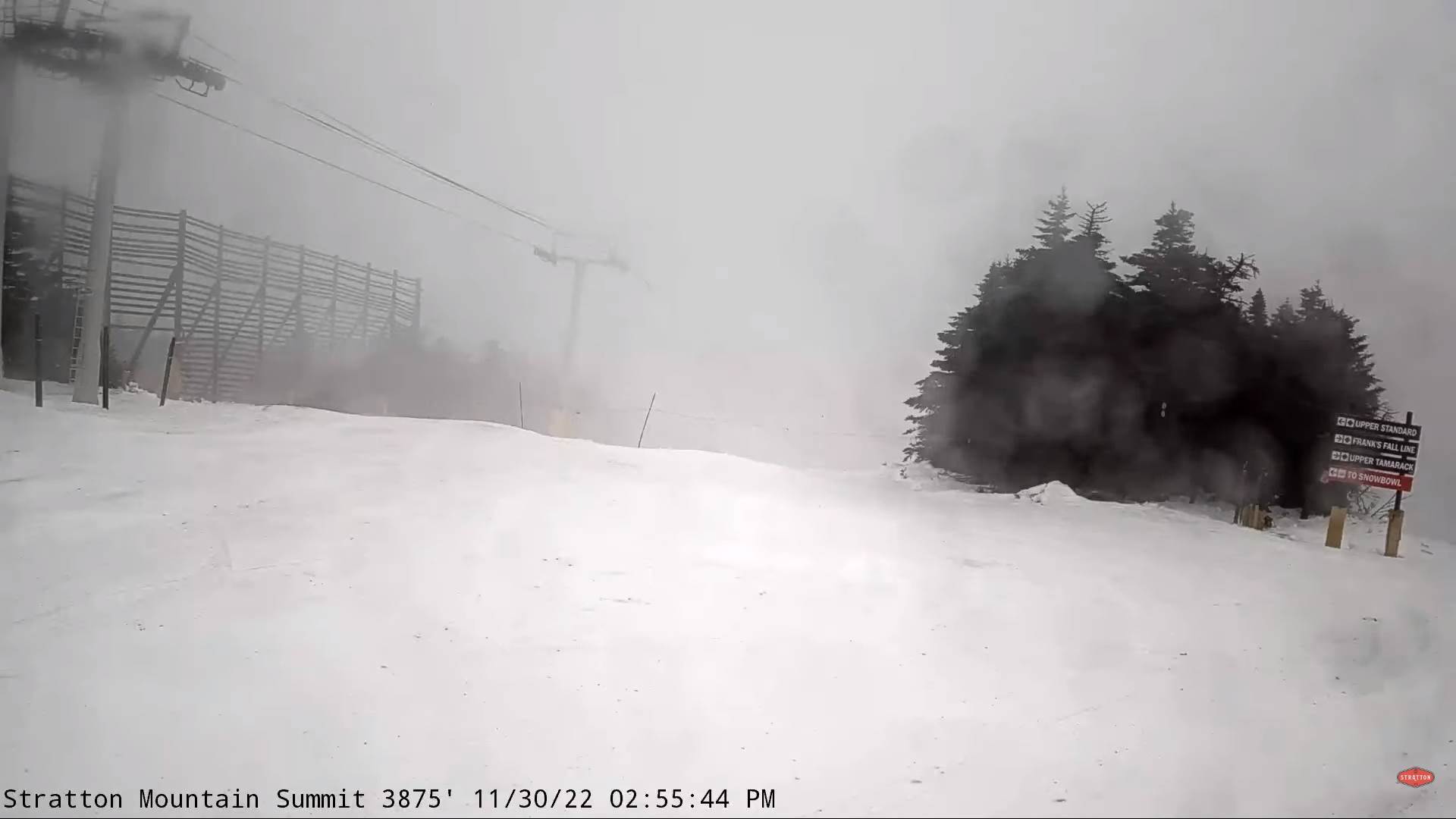
MONDAY: Mixed clouds and sun. Chance for few mountain flurries. A low 20 to 25. A high 35 to 40.
TUESDAY: Gray. Blustery to windy. A rising chance for rain possible mixed precipitation northern areas. A low in the mid to upper 20s. A high upper 30s to around 40.
Average lows upper teens to mid-20s. Average highs mid-30s to lower 40s
Start of Climatological Winter December 12th…peaks (coldest January 22nd,) ends March 9th…
RH/12-1forecast][end]