

Full Worm Moon 7:40 AM
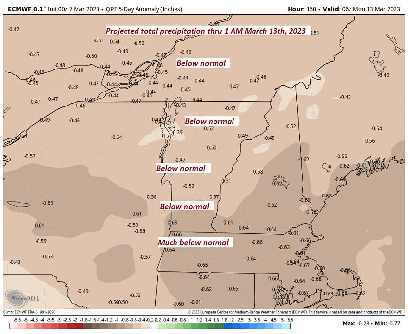
TODAY: Lots of clouds.Scattered light mountain snow showers and valley flurries developing mainly northern areas, with light snow coating in spots.Colder.A high in the mid to upper 20s.Northwest winds 10 to 15 mph.
TONIGHT: Cloudy. Scattered snow showers or flurries continue with light coatings up to 2 inches near the Greens. A low 20 to 25. Light northwest winds.
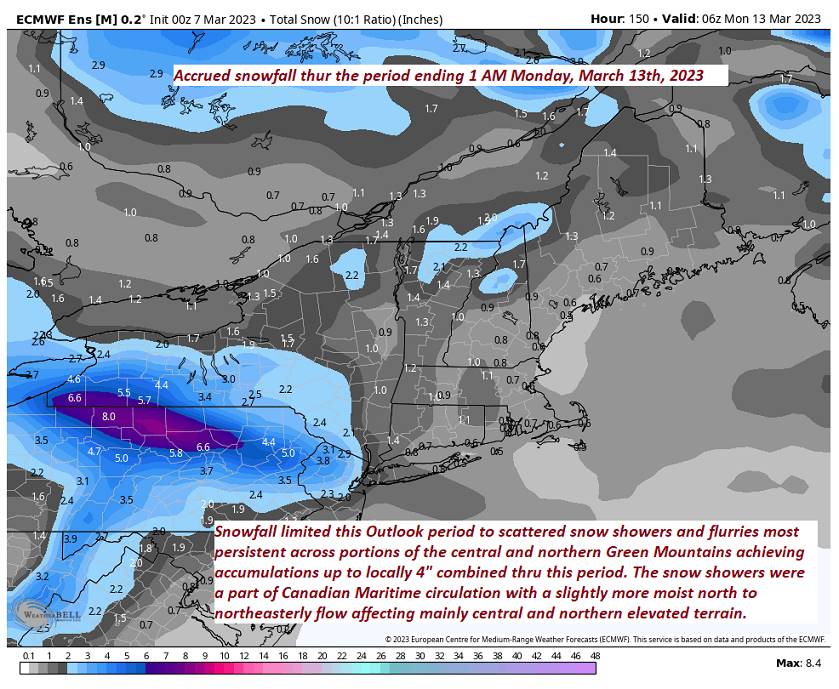
WEDNESDAY: Considerable cloudiness. Scattered flurries drying up in the afternoon. A dusting northern areas. A high 32 to 35. Northwest winds 10 mph in the afternoon.
Looking further ahead
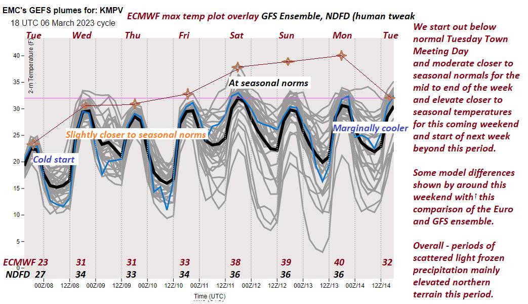
WEDNESDAY NIGHT: Lots of clouds. Scattered flurries northern areas redevelop with a dusting in spots. A low in the mid-20s.
THURSDAY: Mostly cloudy. Scattered flurries lingering, little more than a dusting accumulation. A high 32 to 35
FRIDAY: Morning clouds then lots of sunshine in the afternoon. A low upper teens to mid-20s. A high around 35
SATURDAY: Sunshine becoming filtered thru high cloudiness. A low upper single digits to upper teens. A high in the mid-30s.

SUNDAY: Mostly sunny with a few high clouds. A low in the teens. Just a little milder. A high in the mid to upper 30 (possible sap run).
Average lows in the teens. Average highs mid-30s to around 40.
Climatological winter ends March 9th… Vernal equinox March 20th as we start spring
RH/3-7 forecast][end]
