Updated Wednesday morning Forecast — March 15th, 2023

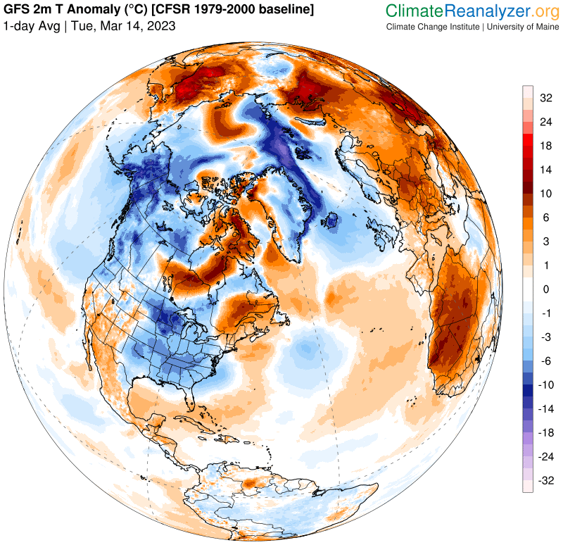
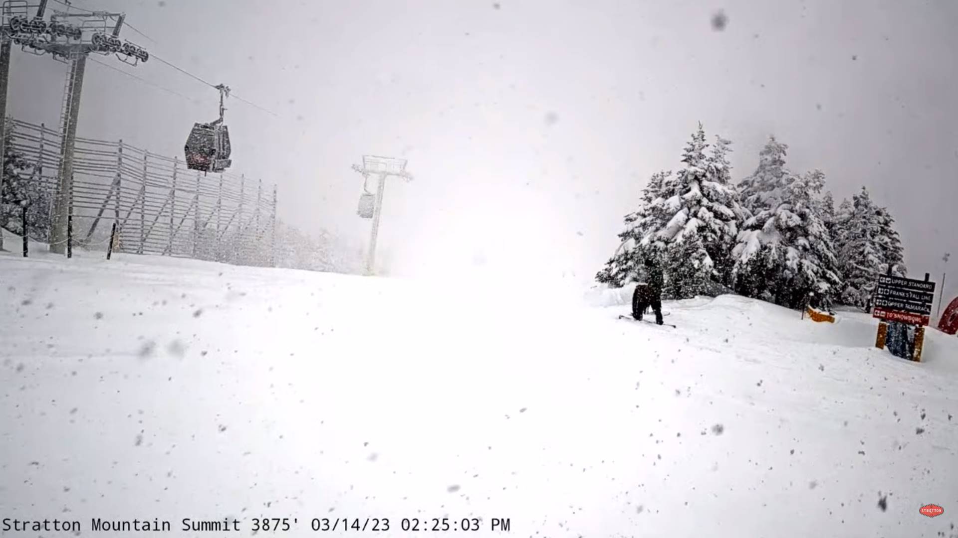
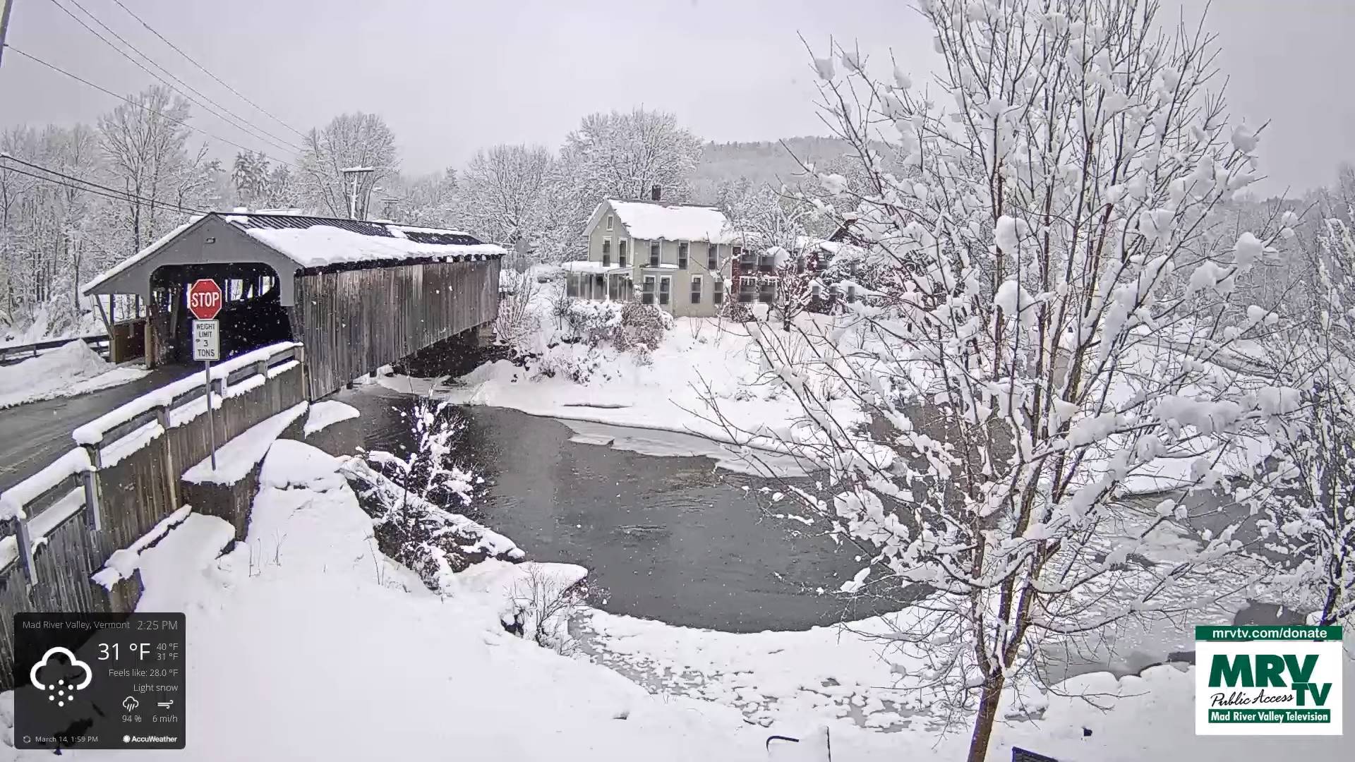
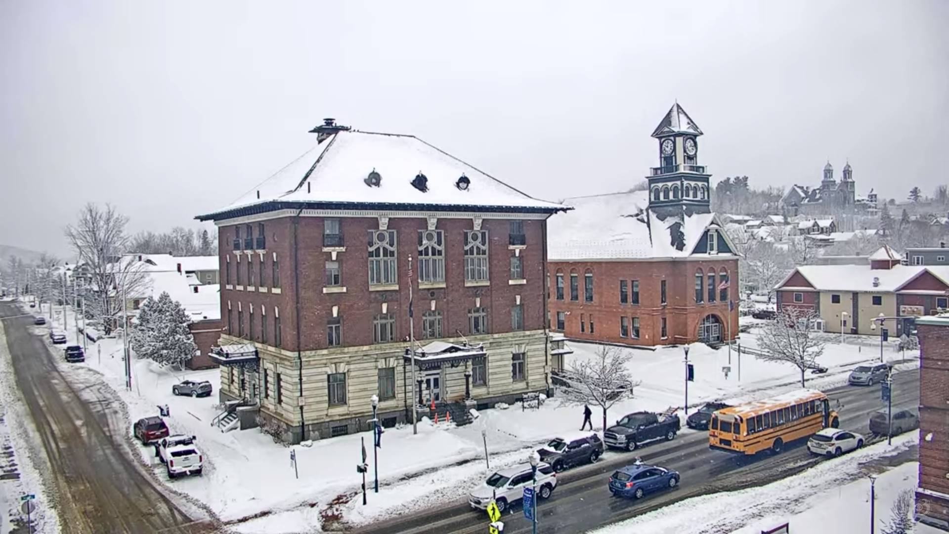
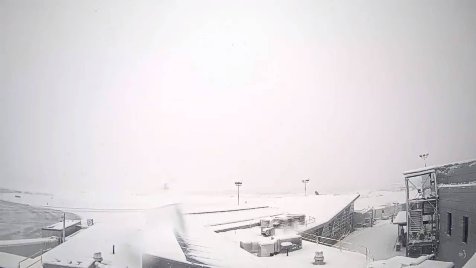
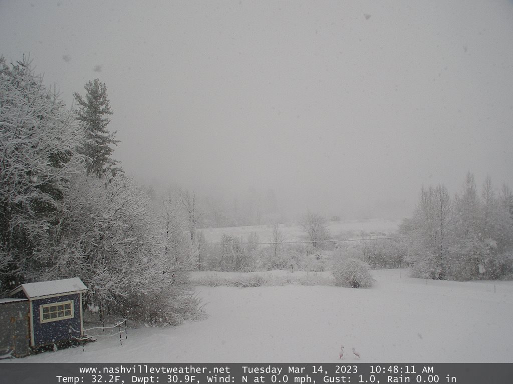
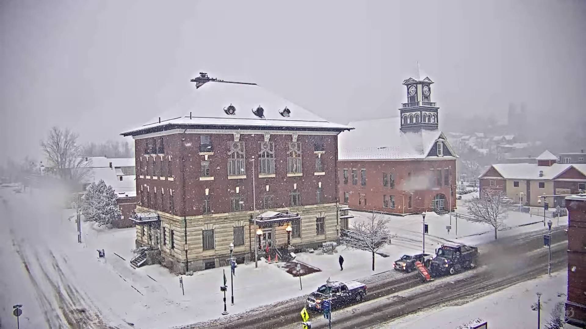
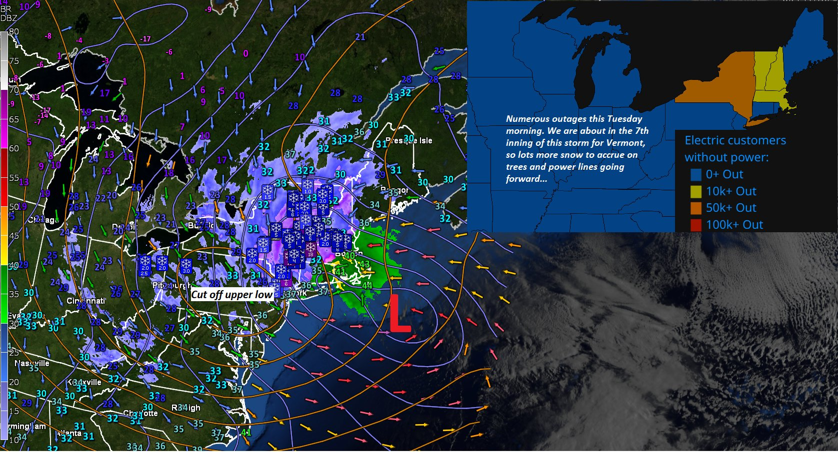
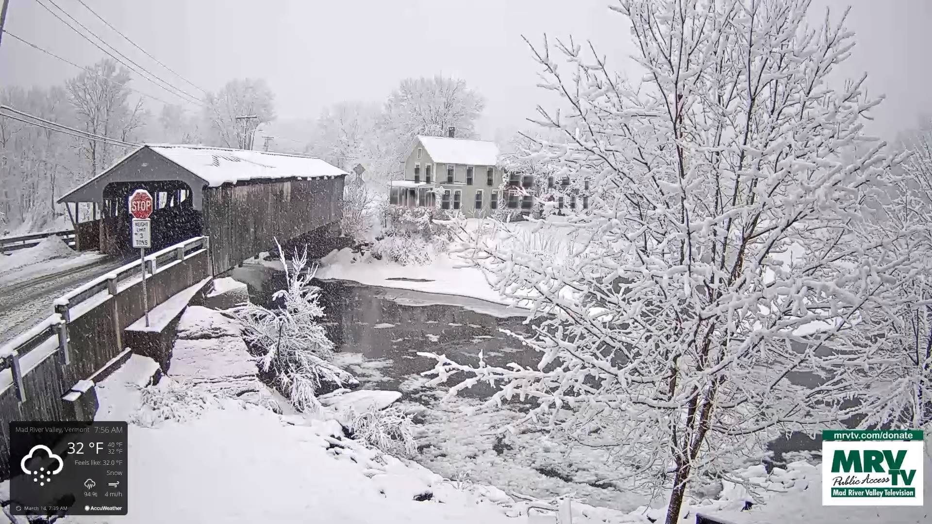
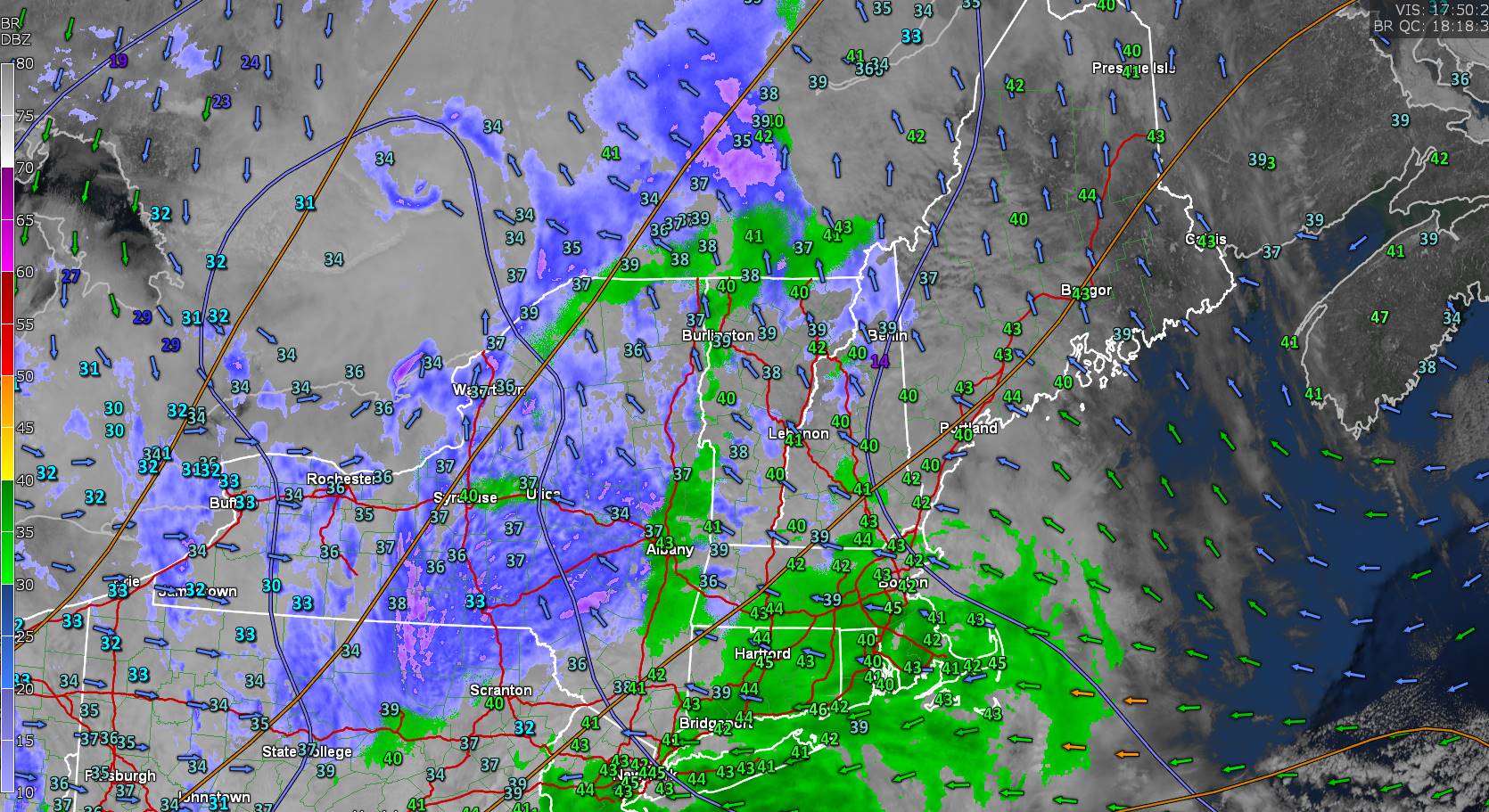
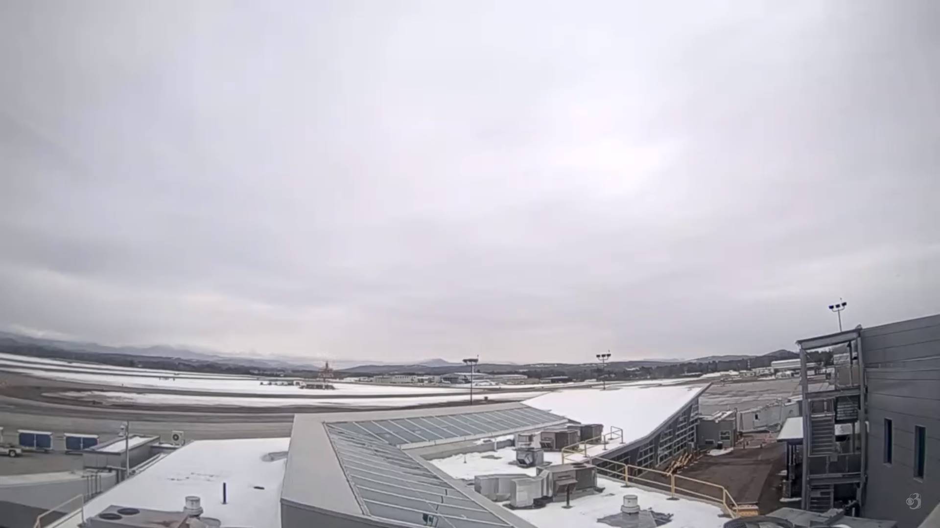
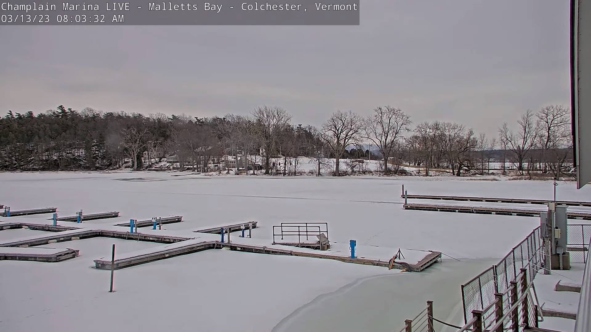
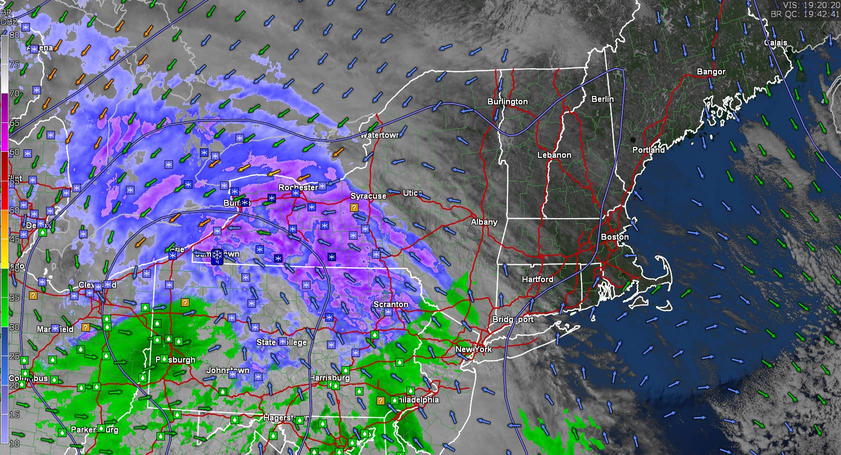
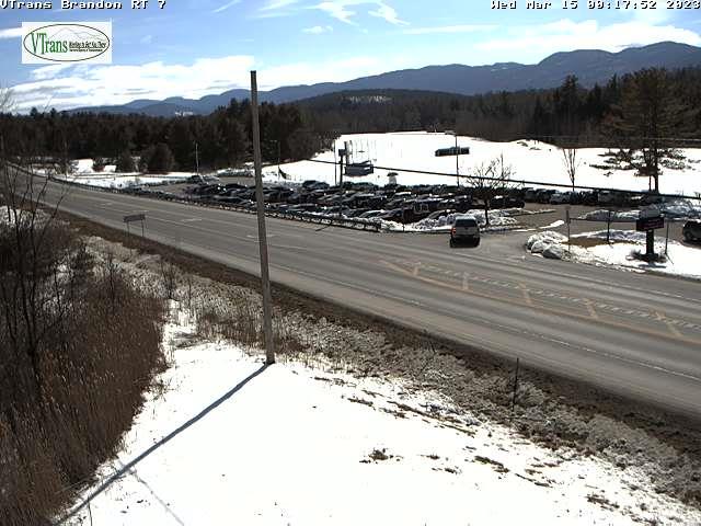
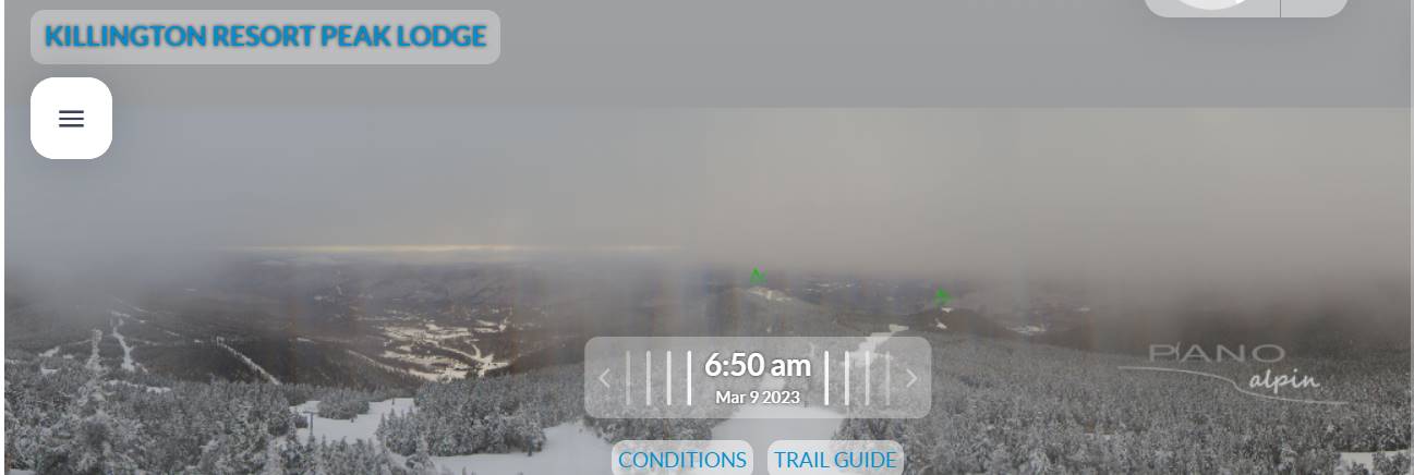
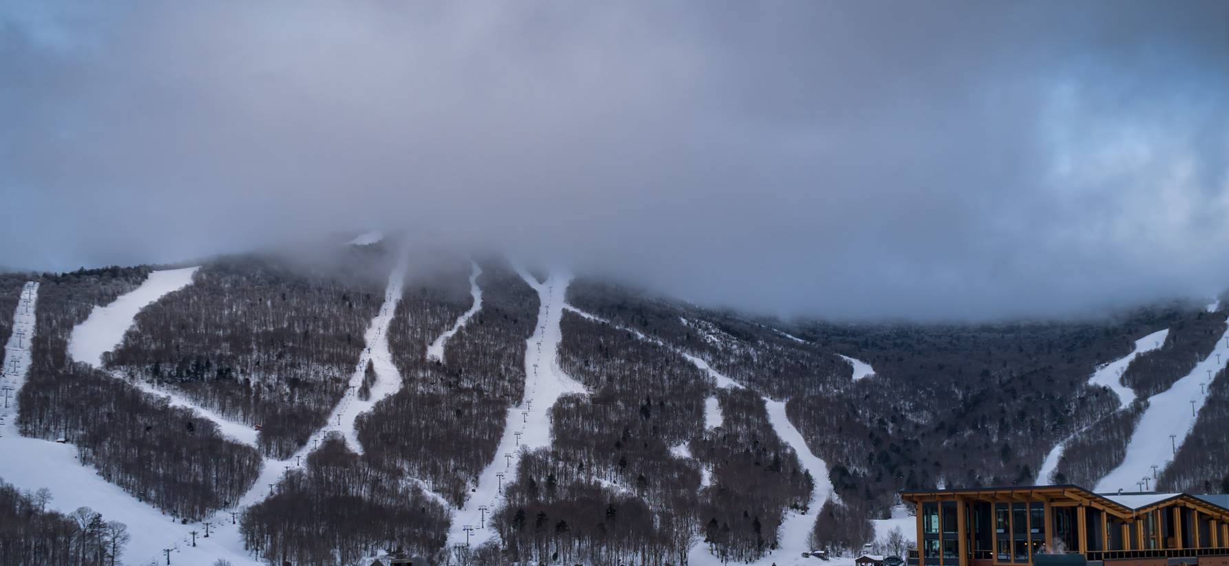
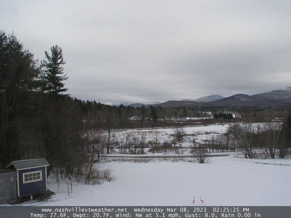
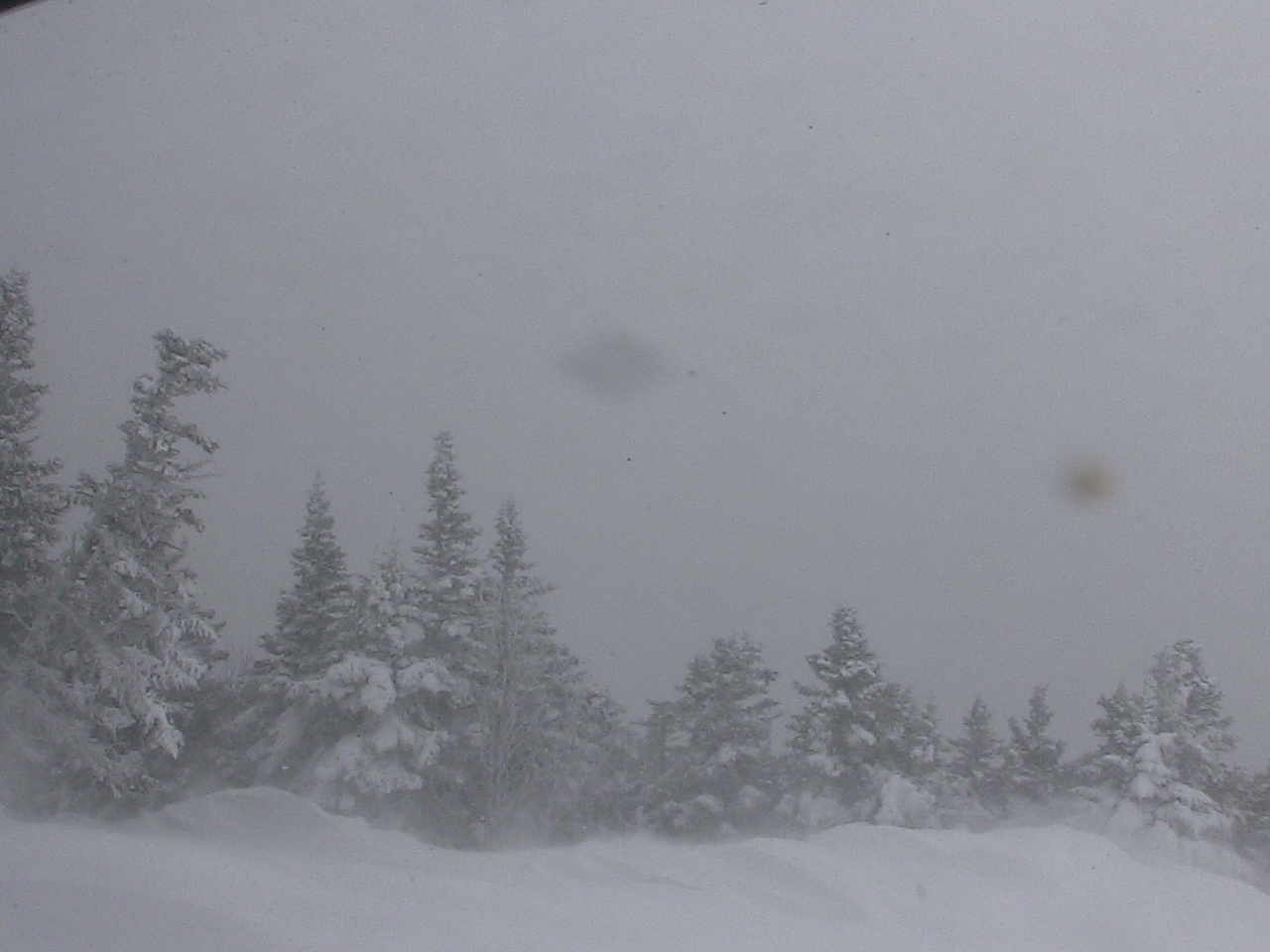
Winter Storm Warnings expire this morning North Central Vermont and continue Northeast Kingdom thru 4 PM for additional snowfall, blowing and drifting

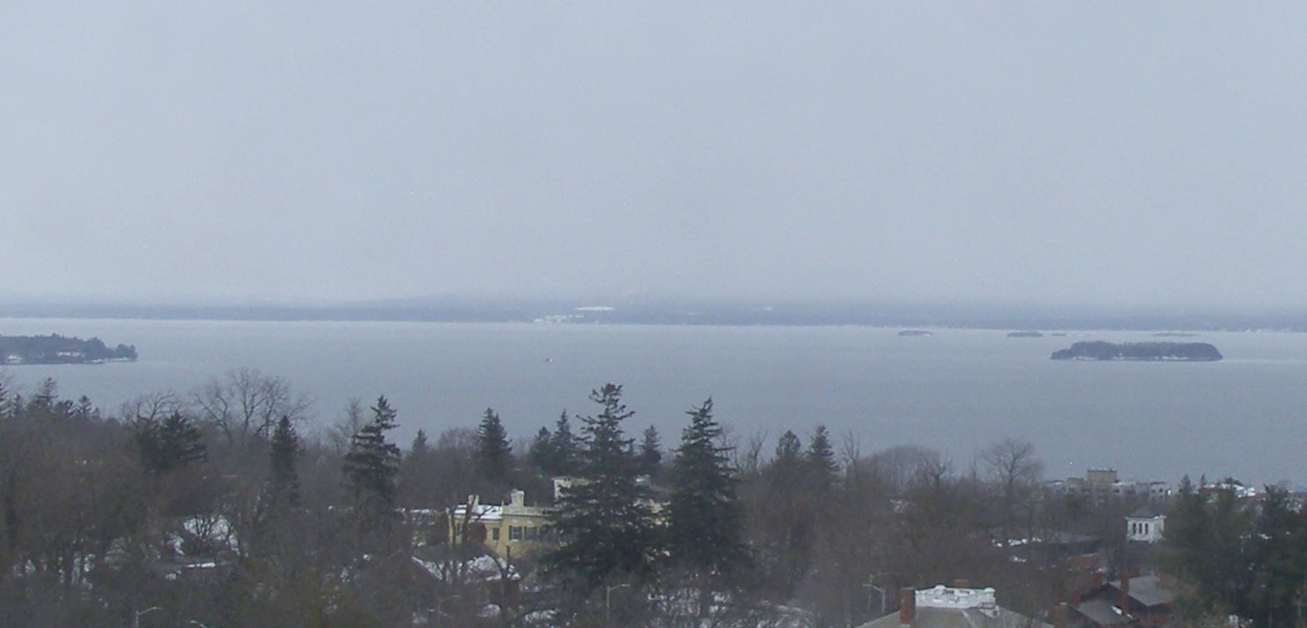
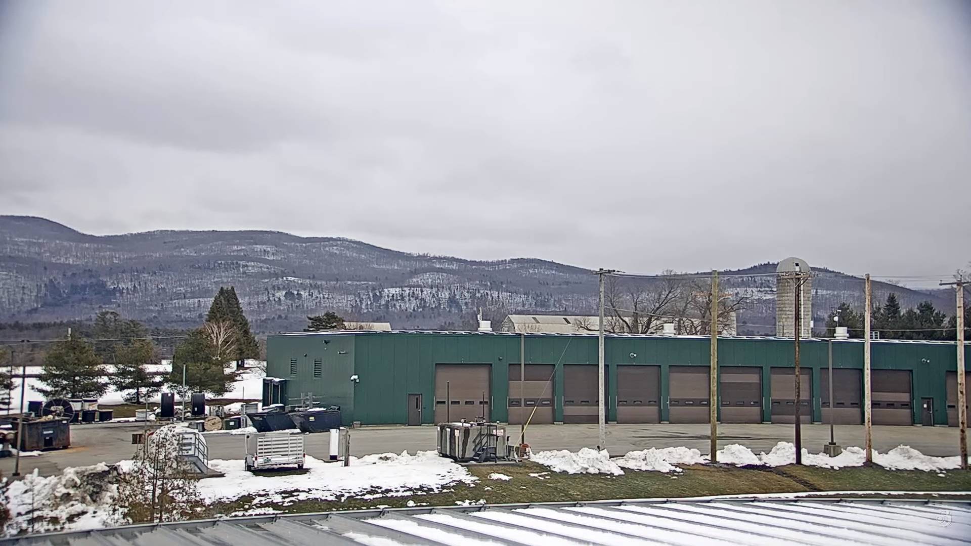
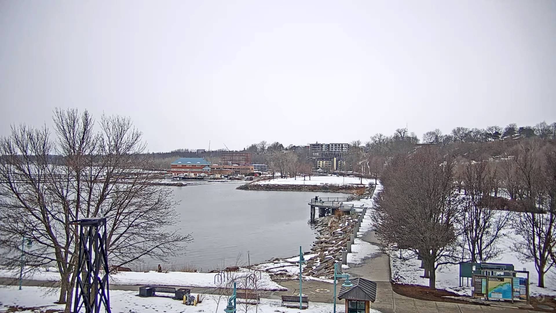
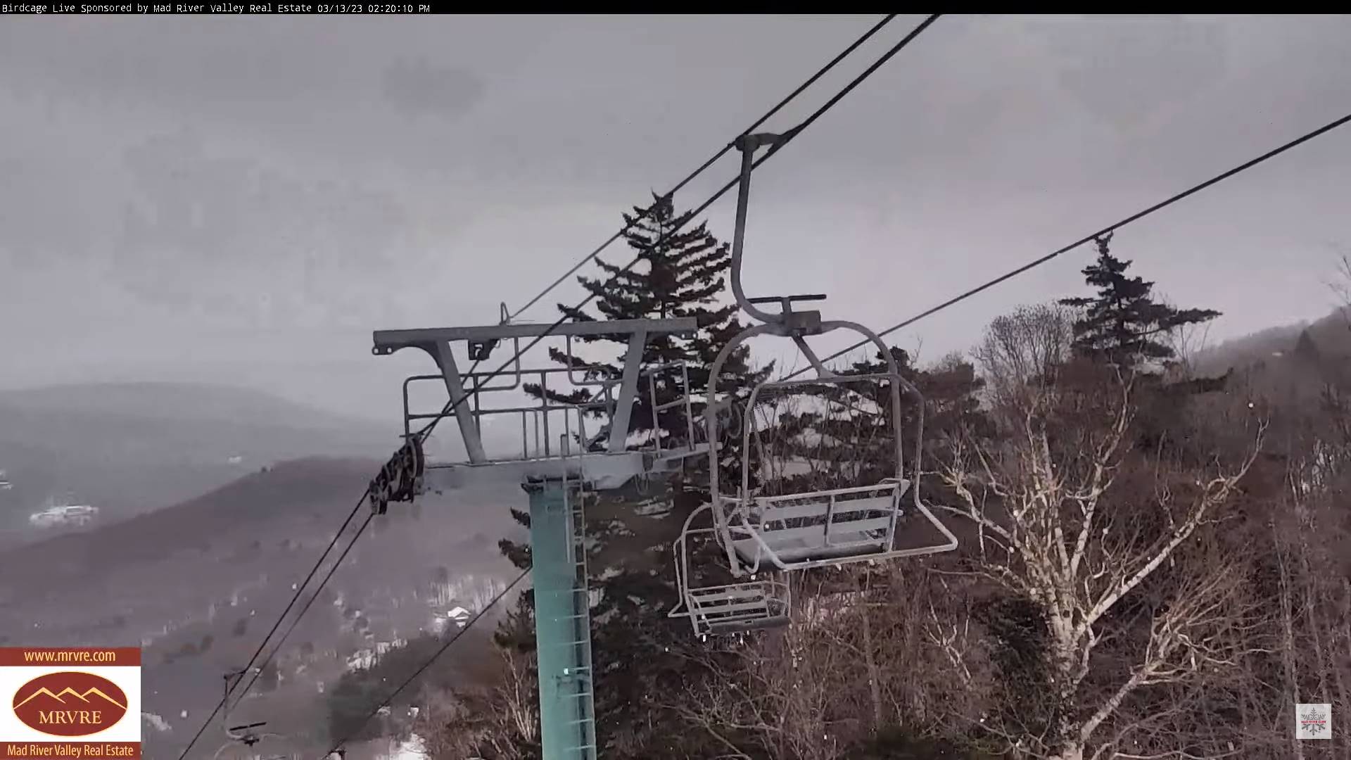
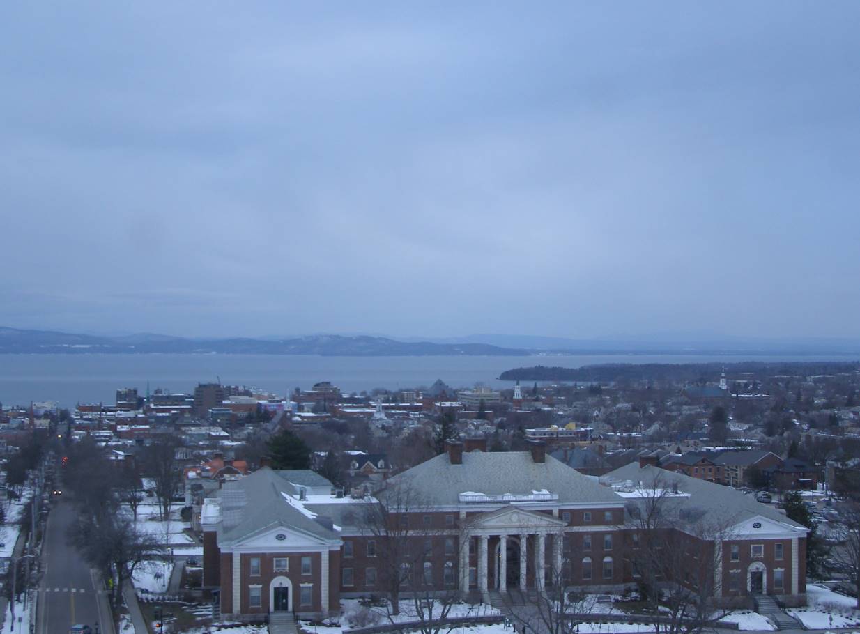
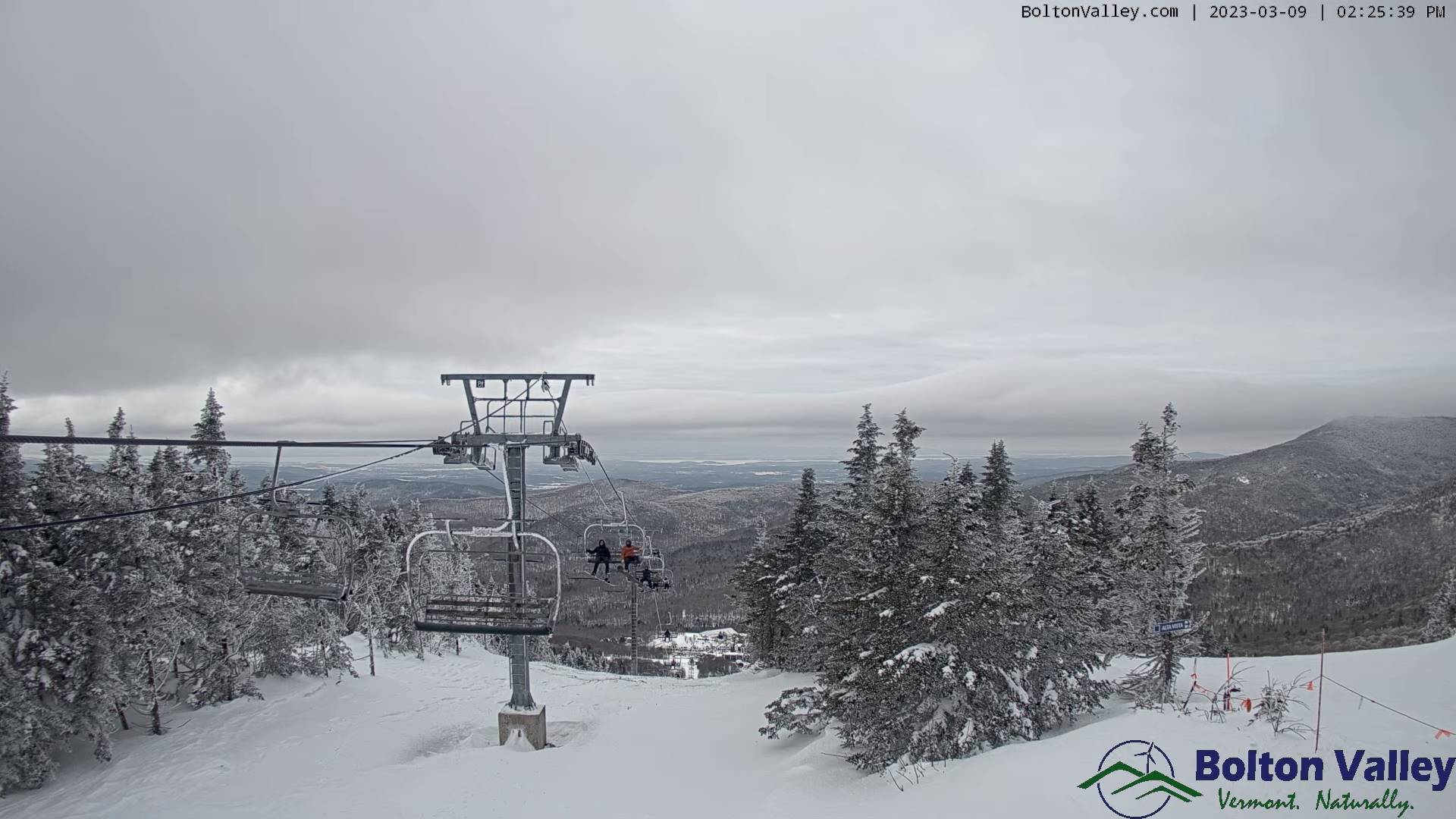
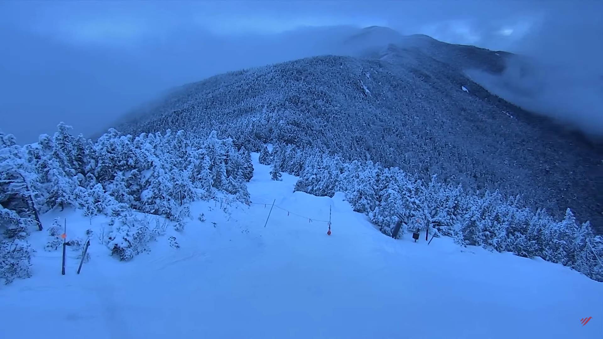
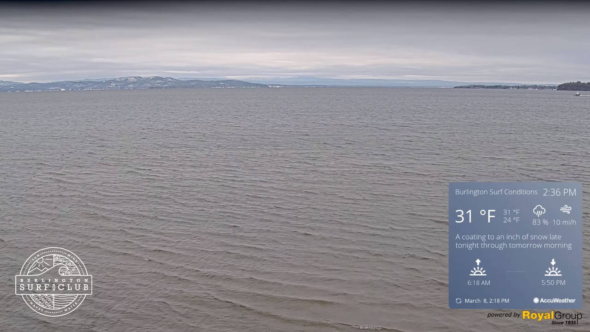
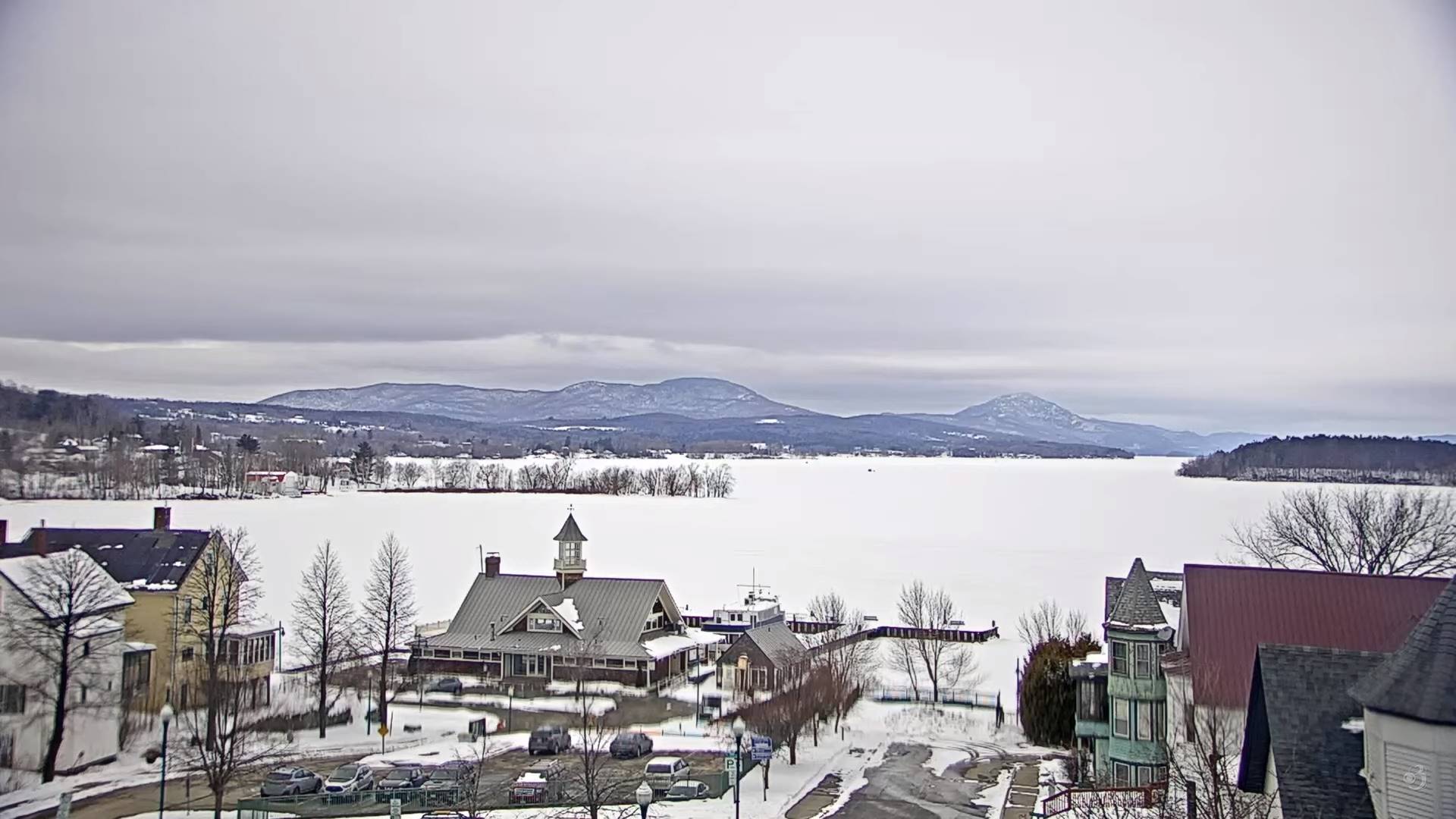
TODAY: Gray. Blustery to windy. Lingering light snow eventually winds down to scattered flurries mountain snow showers this afternoon. Additional accumulation 1 to locally 4” especially western slopes northern Greens and Northeast Kingdom. A high 32 to 35. Northwest winds 10 to 25 mph with blowing a drifting.

TONIGHT: Early evening cloudiness gives way to mostly clear skies. A low 20 to 25. Light northwest winds.

THURSDAY: Partial morning sun early, then thickening clouds. Slight chance for a rain or snow shower. A high near 40. Light west winds.

Looking further ahead

THURSDAY NIGHT: Overcast. Slight chance for a few flurries. A low in the upper 20s.

FRIDAY: Cloudy. Chance for rain valleys mixed with wet snow elevated terrain. A high around 40.

SATURDAY: Lots of clouds. Chance for morning rain showers…watch for icy spots…then becoming partly to mostly sunny. A low in the mid-30s. A high 40 to 45.

SUNDAY: Mostly cloudy & blustery. Maybe a flurry. A low in the teens. A high 25 to 30.

MONDAY: Bright spring sunshine. A low upper single digits to mid-teens. A high upper 30s to near 40.

Average lows mid-teens to lower 20s. Average highs mid-30s to low 40s.

Vernal Equinox March 20th Start of Meteorological summer arrives June 6th.

RH/3-15 forecast][end]

Updated Tuesday Evening Forecast — March 14th, 2023

Winter Storm Warnings – for all except the central and northern Champlain valley…expire Wednesday morning

TONIGHT: Cloudy. Snow…moderate at times this early to mid-evening, with additional accumulation of 2 to locally 4”. A low upper 20s to near 30. North winds 10 to 15 mph.

TOMORROW: Gray skies & blustery. Lingering light snow eventually winds down to scattered flurries in the afternoon. Accumulation 1 to 2” possibly more western slopes northern/central Greens. A high around 35. Northwest winds 10 to 25 mph with blowing a drifting.

WEDNESDAY NIGHT: Early evening clouds, then becoming mostly clear. A low upper teens to low 20s. Light northwest winds.

THURSDAY: Sunshine briefly early, then increased cloudiness. A high about 40. Light west winds.

Looking further ahead

THURSDAY NIGHT: Overcast. Slight chance for a few flurries. A low around 30.

FRIDAY: Gray skies return. Scattered light rain mixed with wet snow high terrain. A high near 40.

SATURDAY: Lots of clouds. Chance for early morning rain showers…watch for icy spots…then becoming mostly sunny. A low in the mid-30s early then rising overnight. A high 40 to 45.

SUNDAY: Partly to mostly cloudy & blustery. Maybe a flurry. A low 10 to 15. A high 25 to 30.

MONDAY: Mostly sunny. A low in the teens. A high mid to upper 30s.

Average lows mid-teens to lower 20s. Average highs mid-30s to low 40s.

Vernal Equinox March 20th Start of Meteorological summer arrives June 6th.

RH/3-14 forecast][end]

Updated Tuesday Morning Forecast — March 14th, 2023

Winter Storm Warnings – Addison to Washington and Orange counties south. Winter Weather Advisories elsewhere outside the Champlain Valley

TODAY: Gray. Wet slushy snow light to moderate northern areas and heavy at times southern Green Mountains this morning. Snowfall becomes lighter this afternoon and may mix with rain some lower valleys. A high near 35. Northeast winds 10 to 15 mph.

TONIGHT: Cloudy. Occasional light snow. Accumulations of 1 to 3”. A low in the upper 20s. North to northwest winds 10 to 15 mph.

WEDNESDAY: Gray skies. Good chance for lingering mountain snow showers and valley flurries winding down in the afternoon. Accumulation of an inch or so. A high around 35. Northwest winds 10 to 20 mph.

Looking further ahead

WEDNESDAY NIGHT: Mostly clear. A low 20 to 25.

THURSDAY: Sunshine briefly early, then increased cloudiness. A high about 40.

FRIDAY: Gray skies return. Chance for rain or snow showers. A low 25 to 30. A high around 40

SATURDAY: Lots of clouds. Chance for rain showers early watch for icy spots…then lots of sunshine in the afternoon. A low in the mid-30s. A high 40 to 45.

Average lows mid-teens to lower 20s. Average highs mid-30s to low 40s.

Vernal Equinox March 20th Start of Meteorological summer arrives June 6th.

RH/3-13 forecast][end]

Updated Monday Evening Forecast — March 13th, 2023

Winter Weather Advisory this evening thru Wednesday morning portions of north central Vermont. Winter Storm Warning central Green Mountains into southern Vermont

TONIGHT: Overcast. Wet snow moderate at times mainly overnight…with about 2 to 5” and up to 10” southern Greens. A low around 30. Light east winds, a little stronger southern Vermont.

TOMORROW: Gray. Wet slushy snow moderate to briefly heavy at times. Accumulations of 2 to 6” northern and central, with 5 to 10”additional southern Greens. Wet snow may mix with rain valleys. A high 32 to 35. Northeast winds 10 to 15 mph.

TUESDAY NIGHT: Cloudy. Occasional light snow. Accumulations of 1 to 2”. A low in the upper 20s. North to northwest winds 10 to 15 mph.

WEDNESDAY: Gray skies. Good chance for lingering mountain snow showers and valley flurries winding down in the afternoon. Minor accumulation. A high 32 to 35. Northwest winds 10 to 20 mph.

Looking further ahead

WEDNESDAY NIGHT: Clearing. A low in the low to mid 20s.

THURSDAY: Pick of the week. Bright morning sunshine, becoming filtered through high cloudiness, thickening late. A high upper 30s to near 40.

FRIDAY: Gray skies return. Rising chance for rain showers developing in the afternoon. A low 25 to 30. A high around 45.

SATURDAY: Lots of clouds. Chance for rain or mountain snow showers. A low in the mid-30s. A high in the mid-40s.

Average lows mid-teens to lower 20s. Average highs mid-30s to low 40s.

Vernal Equinox March 20th Start of Meteorological summer arrives June 6th.

RH/3-13 forecast][end]

Updated Monday morning Forecast — March 13th, 2023

TODAY: Cloudy. Rising chance for periods of wet snow showers or flurries late morning into the afternoon. Little accumulation up to an inch southern high terrain. A high upper 30s to near 40. Southeast winds 10 to 15 mph.

Winter Weather Advisory Monday evening into Wednesday morning portions of central Vermont, with a Winter Storm Warning central Green Mountains and all of southern Vermont…

TONIGHT: Overcast. Occasional wet snow. Accumulations of 2 to 6” up to locally 9” southern Greens. A low 30 to 32. Light east winds, but breezy southern Vermont.

TUESDAY: Gray. Wet slushy snow, accumulations of 2 to locally 5”. Lighter accumulation far northern areas. Wet snow and rain combination lower valley floors. A high 32 to 35. Northeast winds 10 to 15 mph.

Looking further ahead

TUESDAY NIGHT: Cloudy. Occasional wet snow generally light with 1 to 2”. A low in the upper 20s around 30.

WEDNESDAY: Gray skies. Chance for lingering snow showers/flurries winding down late. Minor accumulation. A high near 35.

THURSDAY: Pick of the week with bright sun and blue skies early giving way to afternoon clouds. A low in the low to mid 20s. A high upper 30s to near 40.

FRIDAY: Gray skies return with a rising chance for rain showers developing late. A low 25 to 30. A high around 45.

SATURDAY: Lots of clouds. Chance for rain or mountain snow showers. A low in the mid-30s. A high in the mid-40s.

Average lows mid-teens to lower 20s. Average highs mid-30s to low 40s.

Vernal Equinox March 20th Start of Meteorological summer arrives June 6th.

RH/3-13 forecast][end]

Updated Friday Evening Forecast — March 10th, 2023

TONIGHT: Considerable cloudiness. Light snow developing late southern areas with a dusting to an inch. A low upper teens to mid-20s. Light northeast winds.

TOMORROW: Cloudy, Occasional light snow or flurries south of the Barre-Montpelier area…with a light coating southern areas. Filtered sunshine northern areas spreads south in the afternoon. A high mid to upper 30s. (Sap run?). Winds light and northeasterly.

Spring forward to EDT lose 1 hours sleep.

SATURDAY NIGHT: Clear & partially moonlit. A low in the teens. Light northeast winds.

SUNDAY: A beauty & milder. Sunshine and blue skies. A few high clouds late. Milder, a high in the lower 40s. (Sap run). Light east winds.

Looking further ahead

SUNDAY NIGHT: Fair early, then thickening clouds. A low 25 to 30.

MONDAY: Cloudy. Rising chance for periods of wet snow or flurries in the afternoon. An inch or two north up to locally 4” south. A high mid-30s.

TUESDAY: Overcast. Good chance for wet slushy snow, accumulations of 2 to locally 5”. Lighter accumulation far northern areas. Wet snow and rain combination many valley floors. A low about 30. A high in the low to mid 30s

WEDNESDAY: Gray skies. Chance for lingering snow showers/flurries exiting. A low 30 to 32. A high around 35.

Average lows in the teens. Average highs mid-30s to around 40.

We start climatological spring going forward. Vernal Equinox March 20th

RH/3-10 forecast][end]

Updated Friday Morning Forecast — March 10th, 2023

TODAY: Clouds northern areas, otherwise sunshine becoming filtered by high cloudiness thickening up later on. A high in the mid to upper 30s. Light north winds.

TONIGHT: Considerable cloudiness. A low upper teens to mid-20s. Light northeast winds.

SATURDAY: Cloudy, with occasional light snow showers/flurries south of the Barre-Montpelier area…with a light coating early. Clouds give way to filtered sunshine in the afternoon northern areas. A high mid to upper 30s. (Sap run?). Winds light and northeasterly.

Looking further ahead

SATURDAY NIGHT: Clear & partially moonlit. A low in the teens.

SUNDAY: A beauty & milder. Sunshine and blue skies with high clouds later in the afternoon. Milder, a high in the lower 40s. (Sap run).

MONDAY: Cloudy. Rising chance for periods of wet snow developing toward dark southern areas. A low 25 to 30. A high around 35.

TUESDAY: Overcast. Good chance for wet slushy snow, moderate at times with a few inches southern areas. Lighter accumulation north. Wet snow rain combination many valley floors. A low about 30. A high in the low to mid 30s

WEDNESDAY: Gray skies. Chance for lingering snow showers/flurries exiting. A low 30 to 32. A high around 35.

Average lows in the teens. Average highs mid-30s to around 40.

We start climatological spring going forward. Vernal Equinox March 20th

RH/3-10 forecast][end]

Updated Thursday Evening Forecast — March 9th, 2023

TONIGHT: A stray flurry near the Quebec border area. Otherwise mostly cloudy. A low ranging upper-teens to mid-20s. Light northwest winds.

TOMORROW: Variably cloudy. A high in the mid to upper 30s. Light north winds.

FRIDAY NIGHT: Considerable cloudiness. A low upper teens to mid-20s. Light northeast winds.

SATURDAY: Mostly cloudy, few flurries far southern areas, then filtered sunshine thru high clouds in the afternoon. A high in the upper 30s to near 40. (Sap run). Winds light and northeasterly.

Looking further ahead

SATURDAY NIGHT: Clearing and partially moonlit. A low in the upper single digits to mid-teens.

SUNDAY: A beauty & milder. Sunshine and blue skies with a few high clouds in the afternoon. A high in the low to mid 40s. (Sap run).

MONDAY: Cloudy. Rising chance for periods of wet snow developing toward dark southern areas. A low around 25. A high in the upper 30s.

TUESDAY: Overcast. Chance for snow, possibly moderate at times southern areas with lighter accumulations north. A low upper 20s to around 30. A high near 35.

WEDNESDAY: Gray skies. Chance for lingering snow showers/flurries. A low 25 to 30. A high near 35.

Average lows in the teens. Average highs mid-30s to around 40.

Climatological winter ends this evening…we start spring going forward. Vernal Equinox March 20th

RH/3-8 forecast][end]

Updated Thursday Morning Forecast — March 9th, 2023

TODAY: Cloudy. Chance for a few flurries northern tier this morning and late in the day. A high near 35. Northwest winds 10 mph.

TONIGHT: A few flurries with a dusting far northern areas. Otherwise, lots of clouds. A low ranging mid-teens to mid-20s. Light northwest winds.

FRIDAY: Variably cloudy but dry. A high mid to upper 30s. Light north to northeast winds.

Looking further ahead

FRIDAY NIGHT: Partly cloudy. A low 15 to 20.

SATURDAY: Variable morning clouds with a few stray flurries far southern areas, then filtered sunshine in the afternoon. A high in the upper 30s. (Sap run)

SUNDAY: A beauty. Sunshine predominates. Some high clouds in the afternoon. A low in the teens. A high 40 to 45. (Sap run).

MONDAY: Cloudy. Rising chance for periods of wet snow developing in the afternoon. Some accumulation mainly southern areas. A low around 25. A high 35 to 40.

TUESDAY: Overcast. Chance for snow, possibly moderate to heavy at times especially central and southern areas. A low around 30. A high 32 to 35.

WEDNESDAY: Gray skies. Chance for linger snow showers/flurries. A low mid-20s to near 30. A high 32 to 35.

Average lows in the teens. Average highs mid-30s to around 40.

Climatological winter ends Today… Vernal equinox March 20th as we start spring

RH/3-8 forecast][end]

Updated Wednesday Evening Forecast — March 8th, 2023

TONIGHT: Lots of clouds. Scattered flurries and mountain snow showers flare-up slightly this evening. A dusting to less than an inch northern areas. A low in the low to mid 20s. Light northwest winds.

Approximate climatological winter ends tomorrow March 9th

TOMORROW: Mostly cloudy. Scattered flurries lingering, little more than a dusting. A high 30 to 35. Northwest winds 10 mph.

THURSDAY NIGHT: A few flurries with a dusting far northern areas. Otherwise, lots of clouds. A low ranging mid-teens to mid-20s. Little wind.

FRIDAY: Variably cloudy but dry. A high mid to upper 30s. Light north winds.

Looking further ahead

FRIDAY NIGHT: Partly cloudy. A low 15 to 20.

SATURDAY: Filtered sunshine, then increasing sunshine. A high upper 30s near 40. (Sap run)

SUNDAY: A beauty. Sunshine predominates. Some high clouds in the afternoon. A low in the teens. A high in the lower 40s. (Sap run).

MONDAY: Cloudy. Chance for periods of snow developing mainly in the afternoon. A low in the teens. A high near 35.

Average lows in the teens. Average highs mid-30s to around 40.

Climatological winter ends March 9th… Vernal equinox March 20th as we start spring

RH/3-8 forecast][end]