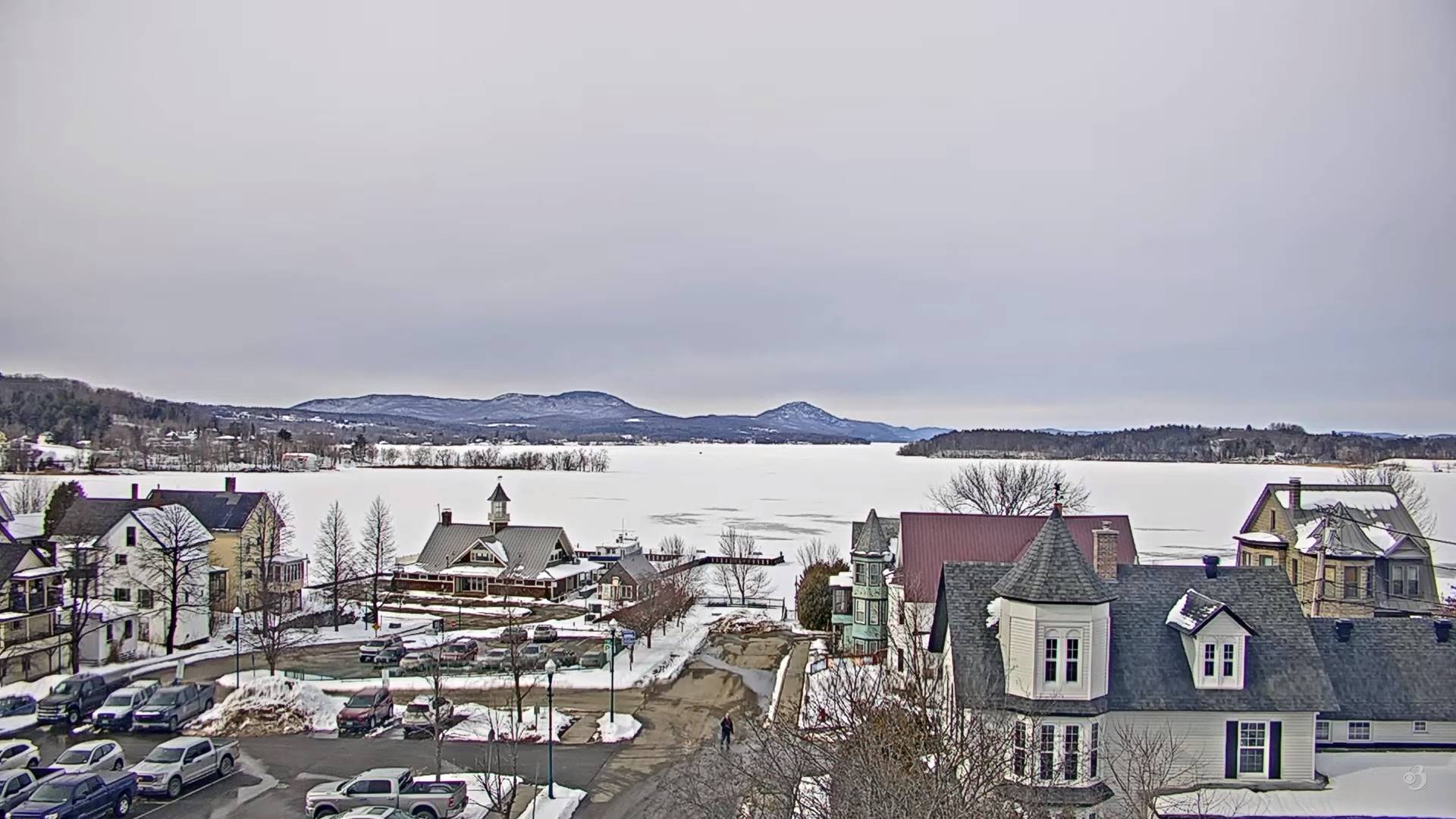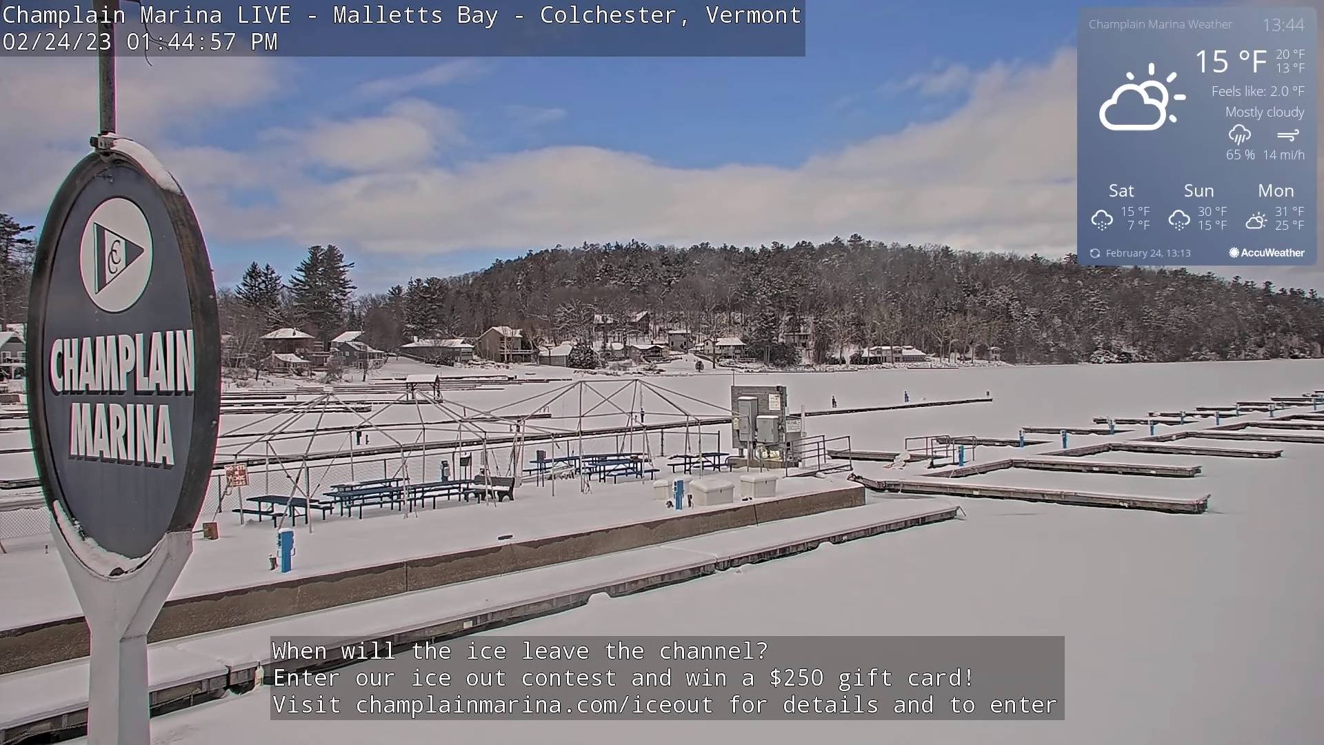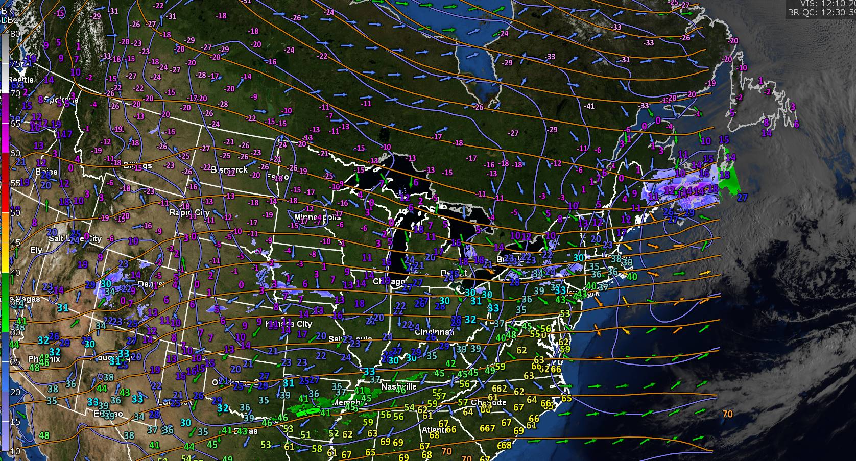
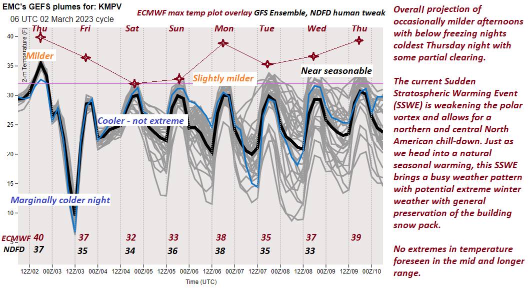
TONIGHT: A few flurries with minor accumulation exiting this evening. A low in the teens. Northwest winds 10 to 15 mph, becoming light.
TOMORROW: Brief morning sunshine, then high cloudiness thickening up late. A high in the mid-30s. Little wind.
Winter Storm Watch late Friday evening thru Saturday evening…
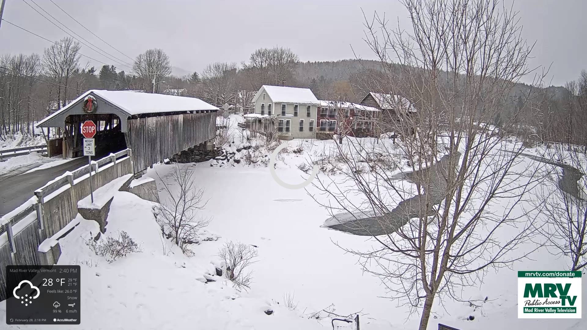
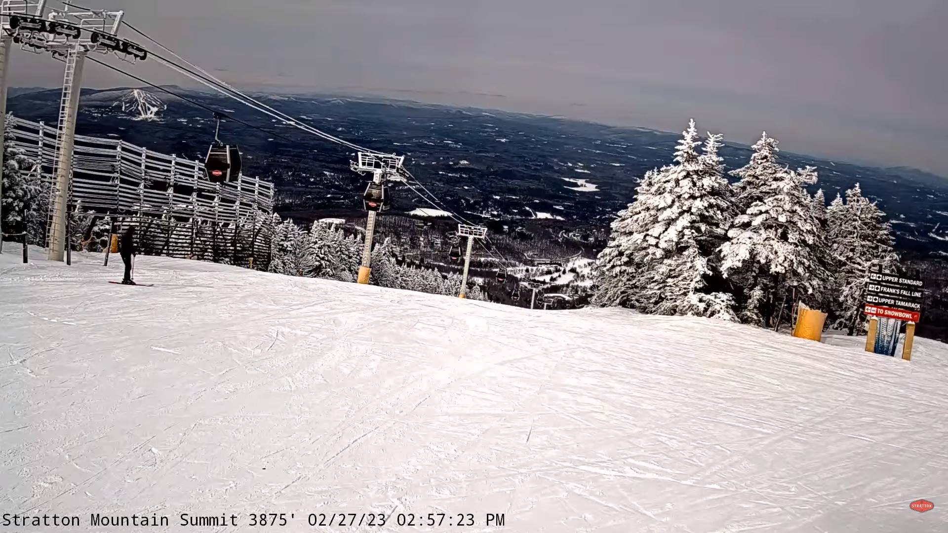
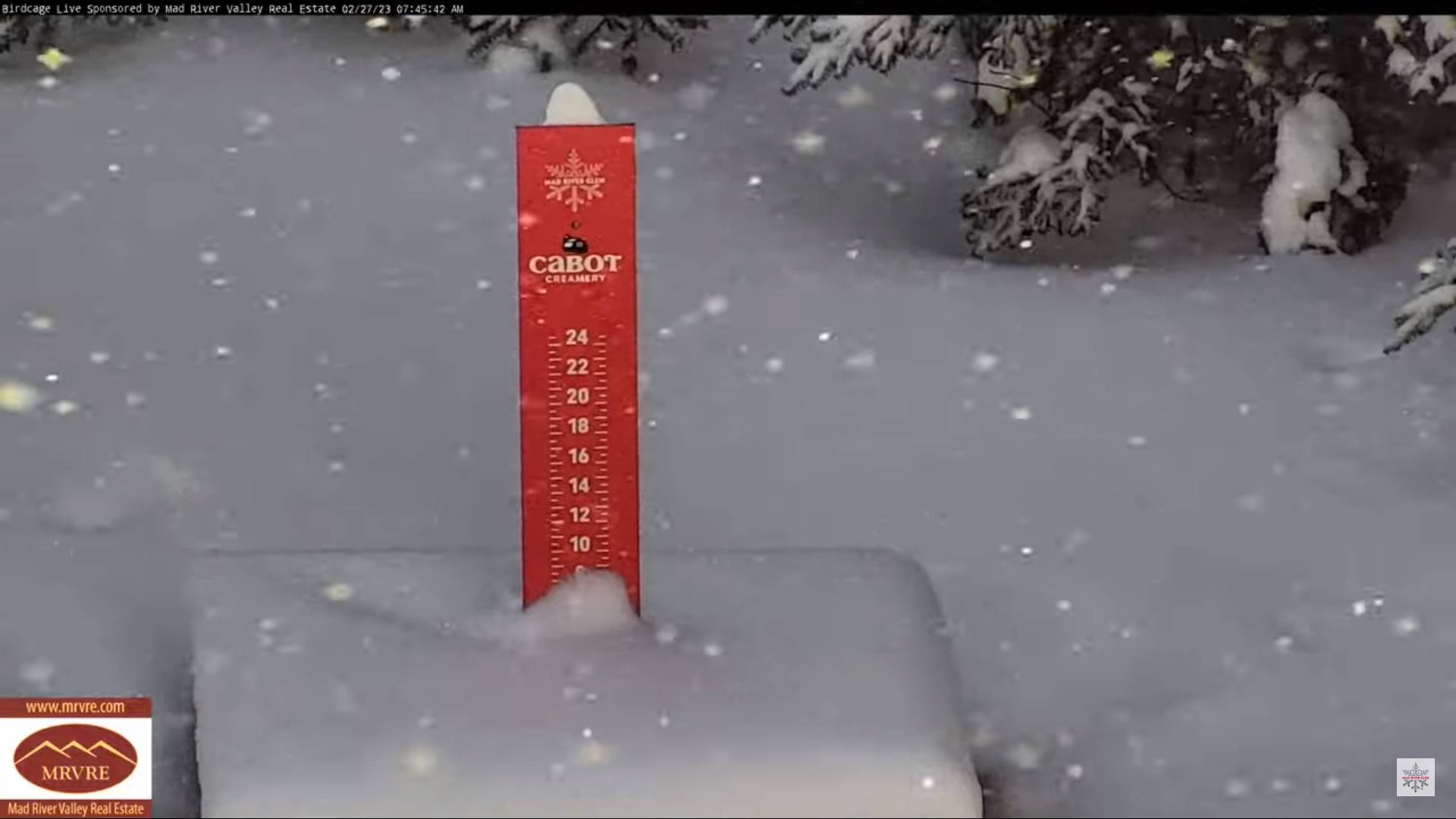
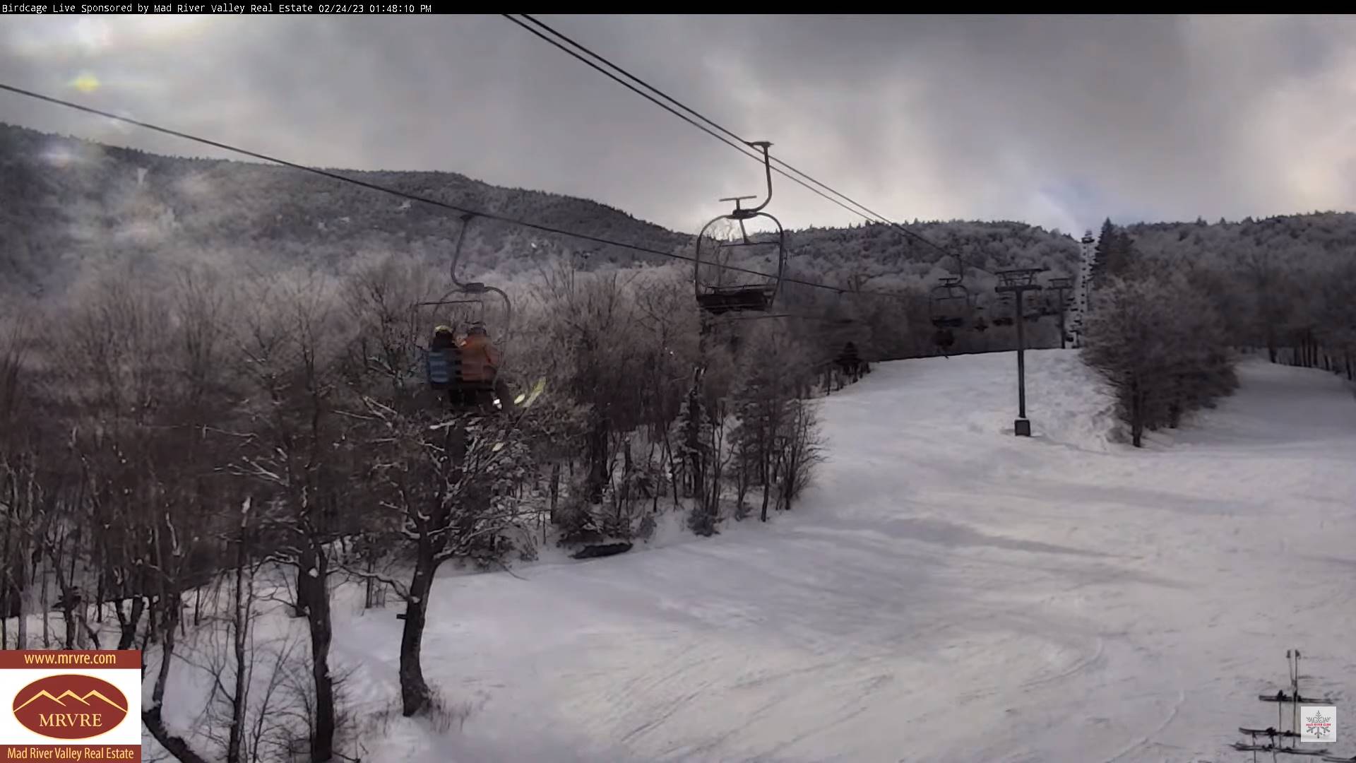
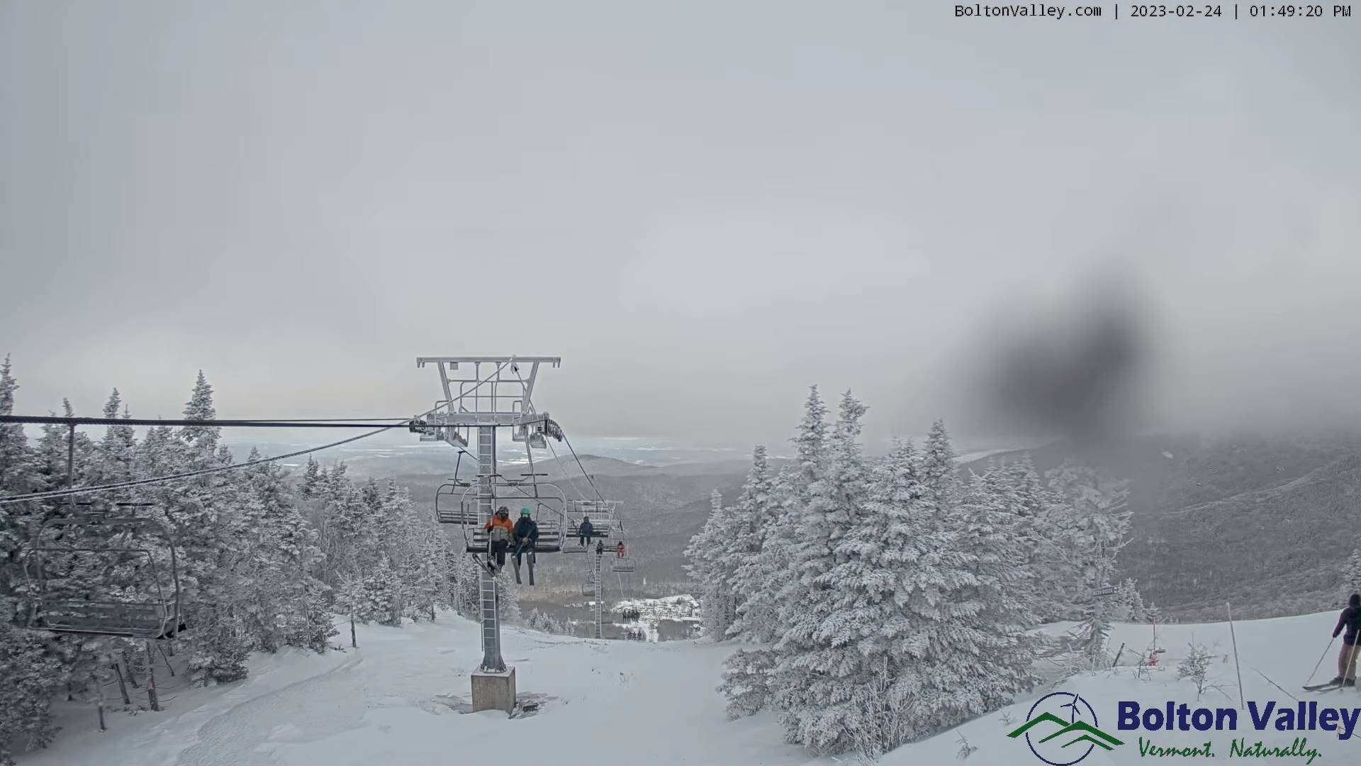
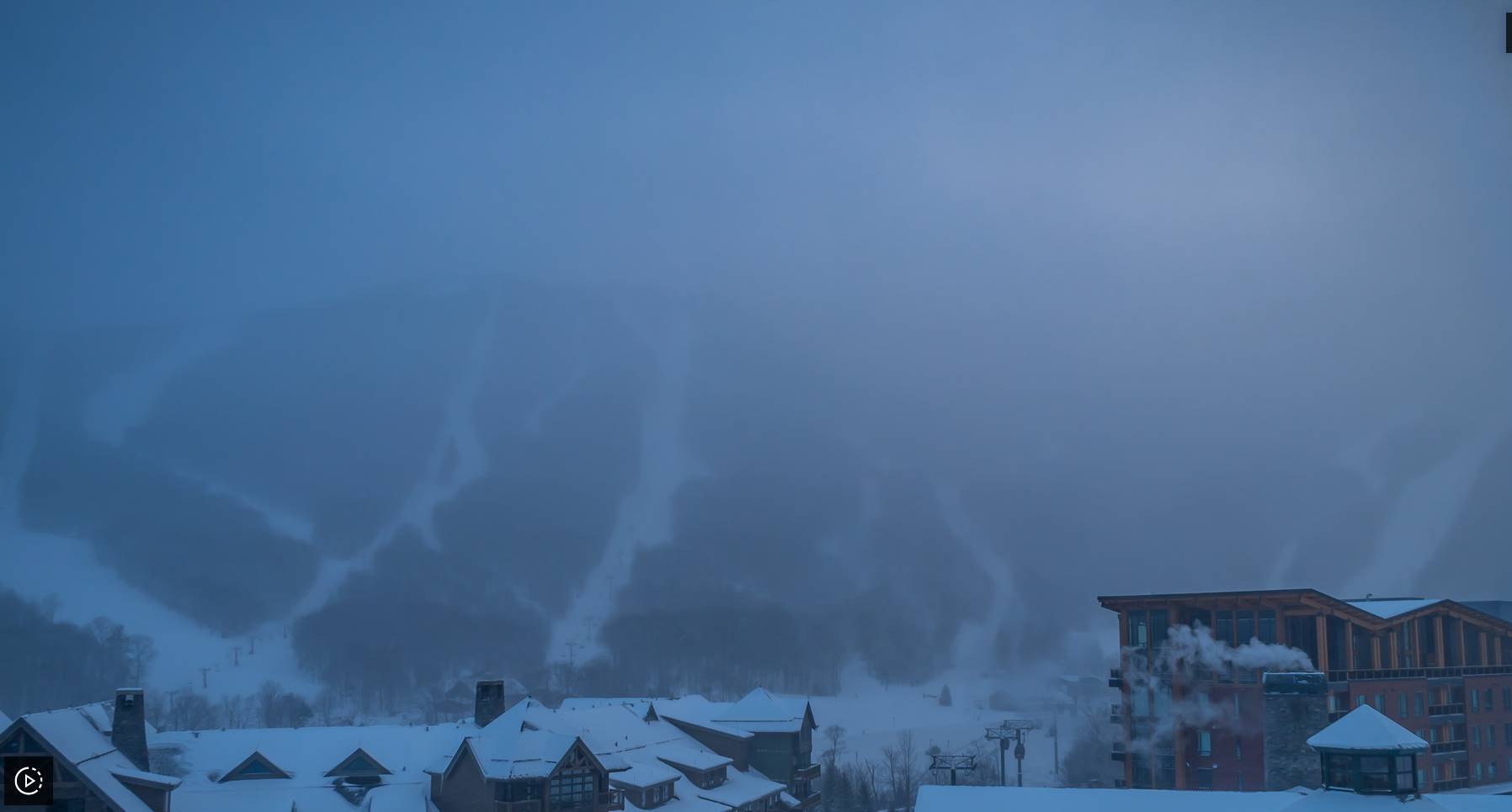
FRIDAY NIGHT: Overcast. Periods of snow moderate to briefly heavy overnight with about 3 to locally 7” before mixing with sleet southern areas. A low around 25. Southeast winds 10 to 20 mph and gusty.
SATURDAY: Overcast. Accumulating snow…moderate at times early tapering scattered snow showers in the afternoon. Additional 3 to locally 6” accumulation with the most northern areas. A high around 32. East winds 10 to 15 mph gradually shifting to northeasterly.
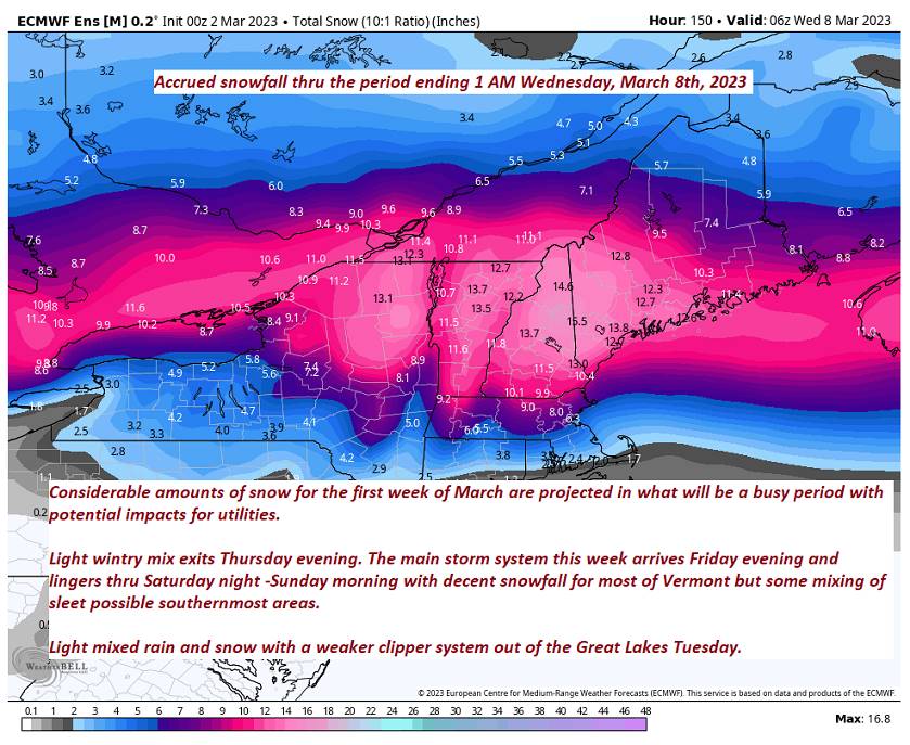
Looking further ahead
SATURDAY NIGHT: Good chance for lingering snow showers or flurries with a light coating. Otherwise mostly cloudy. A low 20 to 25.
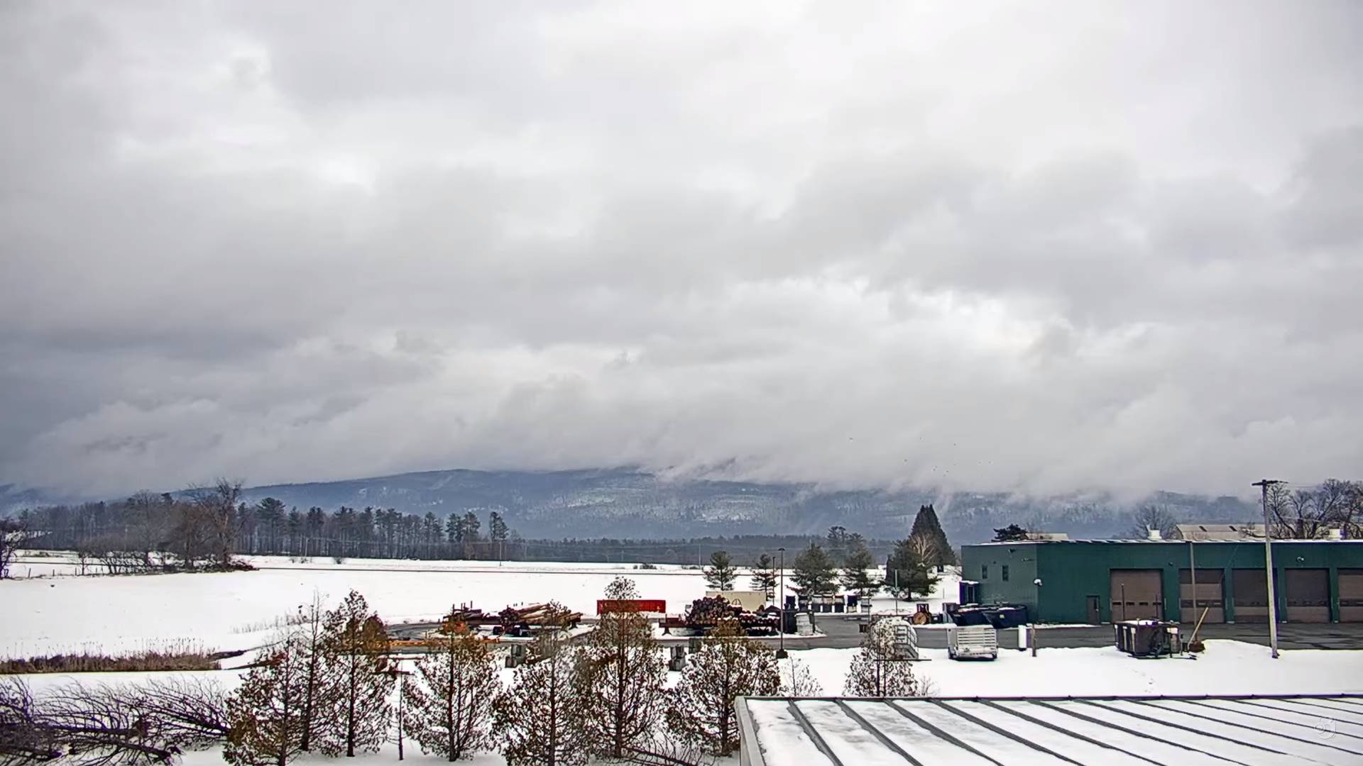
SUNDAY: A stray northern flurry dries up early. Otherwise mostly cloudy skies. A high around 35.
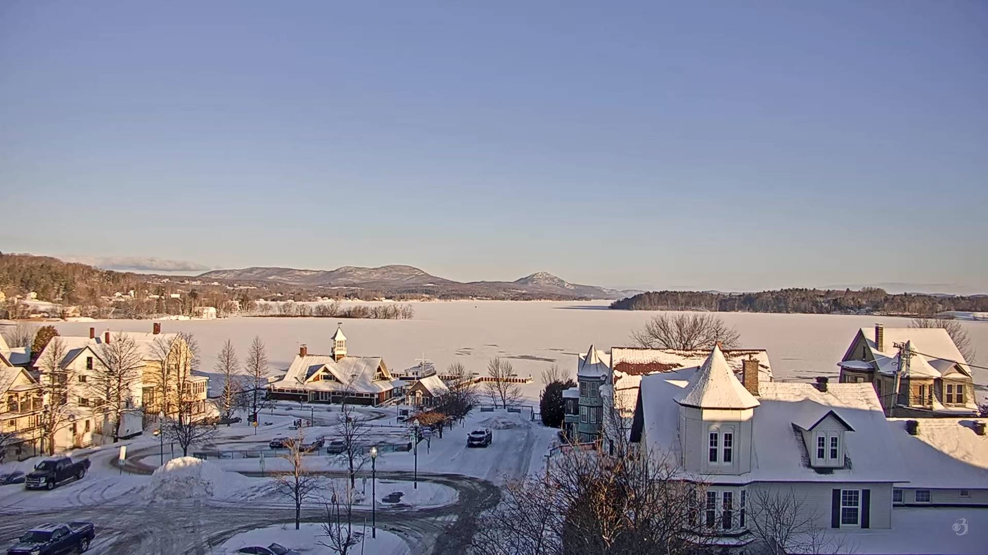
MONDAY: Mostly sunny and a beauty. A low 20 to 25. A high in the mid-30s.
TUESDAY: Gray. Chance for light accumulating wet snow showers. A low around 25. A high around 35.
Average lows upper single digits to mid-teens. Average highs ranging thru the 30s.
Climatological winter ends March 9th… Vernal equinox March 20th as we start spring
RH/3-2 forecast][end]