Updated Tuesday Evening Forecast — April 14th, 2020

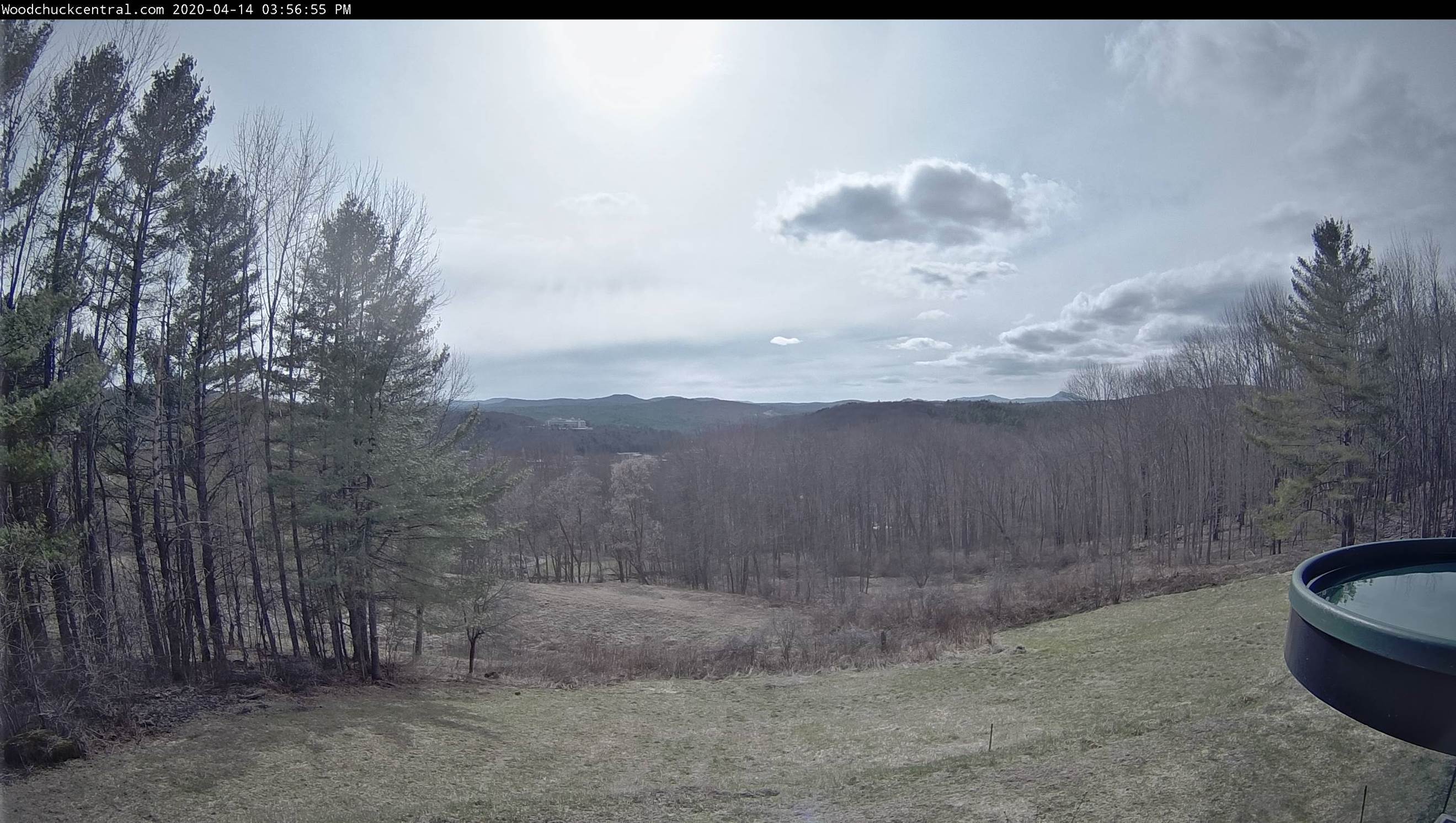
TONIGHT: Considerable high cloudiness, then partly cloudy overnight. A stray flurry or two northern tier developing late. A low around 30. Light southwest winds.

TOMORROW: Variably cloudy sunny periods in the morning. Scattered northern mountain flurries. A high in the lower 40s.West winds 10 to 20 mph in the afternoon.

WEDNESDAY NIGHT: Partly cloudy. An isolated mountain flurry possible. A low in the upper 20s. Light west to southwest winds.

THURSDAY: Morning sun gives way to cloudy periods in the afternoon. Widely scattered afternoon snow showers or flurries northern areas. A high around 40.West to northwest breeze 10 to 20 mph.
Looking further ahead…

THURSDAY NIGHT: Scattered clouds. A low 25 to 30.

FRIDAY: Morning sun then mostly cloudy in the afternoon. Maybe a mountain flurry. A high in the low 40s.

SATURDAY: Morning sun then more afternoon clouds. A low mid to upper 20s. A high upper 40s to low 50s.

SUNDAY: Sunshine before more clouds. A low around 30. A high mid to upper 50s.

(Italics mean precip)

Average lows ranging upper 20s to mid-30s, average highs in the mid to upper 50s.
RH/4-14[end]
Updated Tuesday morning Forecast — April 14th, 2020

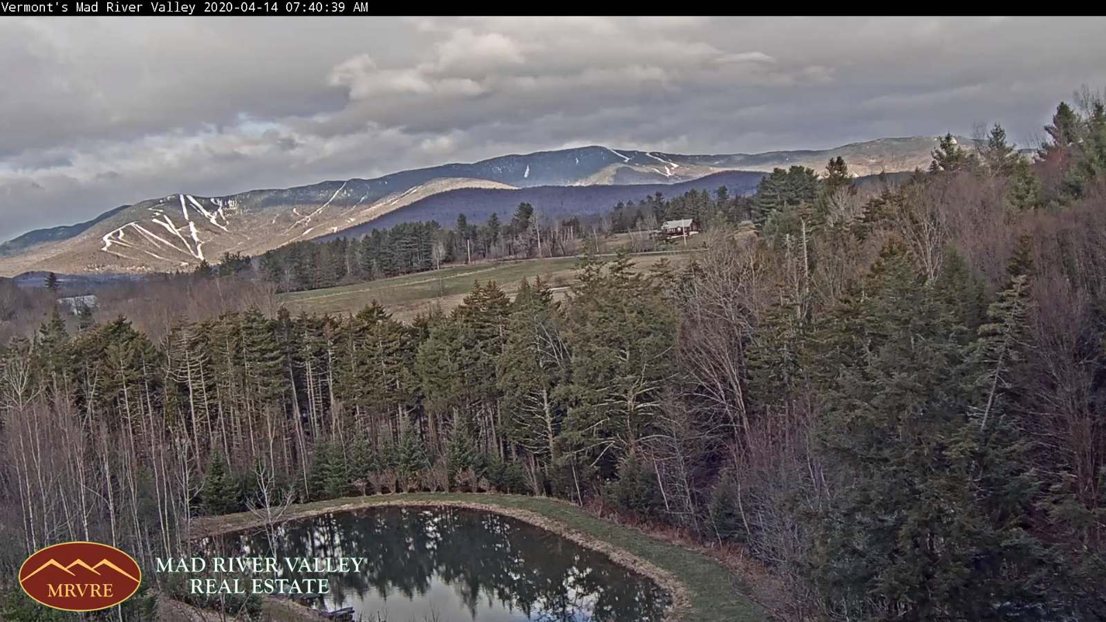
TODAY: Periods of morning sun then mostly cloudy. A high mid to upper 40s. West winds 10 to 20 mph and gusty.

TONIGHT: Partly cloudy. A few stray flurries possible overnight. A low around 30. Light west winds.

WEDNESDAY: Brief morning sun then mostly cloudy.Scattered mountain snow showers mixed with rain valley floors.A high in the lower 40s.West winds 10 to 20 mph in the afternoon.

Looking further ahead…

WEDNESDAY NIGHT: Partly cloudy. A stray flurry possible Northeast Kingdom. A low in the upper 20s.

THURSDAY: Morning sun gives way to cloudy periods in the afternoon. Widely scattered afternoon snow showers or flurries northern areas. A high around 40.

FRIDAY: Clouds with breaks of sun away from the mountains. Widely scattered mountain flurries. A low 25 to 30. A high in the low 40s.

SATURDAY: Morning sun then more afternoon clouds. A low mid to upper 20s. A high upper 40s to low 50s.

SUNDAY: Sunshine becoming filtered through high cloudiness. A low around 30. A high mid to upper 50s.

Average lows ranging upper 20s to mid-30s, average highs in the mid to upper 50s.

RH/4-14[end]
Updated Monday Evening forecast — April 13th, 2020

TONIGHT: Showers…moderate at times with a few rumbles of thunder possible exiting before midnight. Blustery to windy this evening. Partial clearing develops overnight. A low 35 to 40. Winds becoming westerly wind 10 to 25 mph with higher gusts elevated terrain.

TOMORROW: Partly sunny. A high mid to upper 40s. West winds 10 to 20 mph and gusty.

TUESDAY NIGHT: Partly cloudy. A low around 30. Light west winds.

WEDNESDAY: Brief morning sun then mostly cloudy.Scattered mountain snow showers mixed with rain valley floors.A high in the low 40s.West winds 10 to 20 mph in the afternoon.

Looking further ahead…

WEDNESDAY NIGHT: Chance for few flurries northern areas. Minor accumulation. A low in the mid-20s.

THURSDAY: Morning sun gives way to cloudy periods in the afternoon. Widely scattered afternoon snow showers or flurries. A high around 40.

FRIDAY: More clouds then sunshine. Widely scattered flurries. A low 25 to 30. A high 40 to 45.

SATURDAY: Partly to mostly sunny. A low in the upper 20s. A high in the low to mid 50s.

Average lows ranging upper 20s to mid-30s, average highs 50 to 55.

RH/4-13[end]

Updated Monday Morning Forecast — April 13th, 2020

TODAY: Gray but mild. Periods of rain moderate at times. Becoming breezy to windy especially later this afternoon. A high in the mid to upper 50s. South to southeasterly winds pick up 10 to 20 mph stronger in the late afternoon with gusts over 40 mph.

TONIGHT: Periods of rain or showers and blustery to windy at times through most of this evening. Showers exit around midnight. Otherwise partial clearing develops overnight. A low mid to upper 30s. Southwest to westerly wind 10 to 25 mph with gusts over 40 mph for time this evening.

TUESDAY: Partly sunny. A high around 45. Blustery westerly wind 10 to 25 mph at times.

Looking further ahead…

TUESDAY NIGHT: Partly cloudy to mostly clear. A low upper 20s to around 30.

WEDNESDAY: Mixed clouds and intervals of sunshine.Scattered mountain snow showers mixed with rain valley floors.A high around in the low 40s.

THURSDAY: Morning sun gives way to cloudy periods in the afternoon. Maybe a stray flurry.A low 25 to 30. A high around 40.

FRIDAY: Partly sunny. Isolated mountain flurries or sprinkles. A low upper 20s to around 30. A high in the mid-40s.

Average lows ranging upper 20s to mid-30s, average highs 50 to 55.

RH/4-13[end]
Updated Friday Evening Forecast — April 10th, 2020

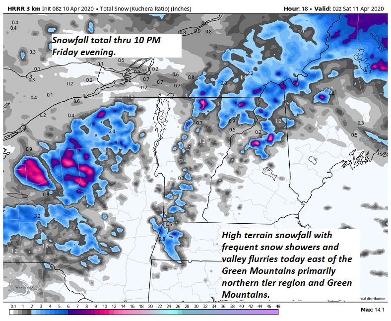
TONIGHT: Occasional snow showers thru mid-evening tapering to scattered flurries. A dusting to locally 2” most near the northern Green Mountains. Otherwise partly to mostly cloudy. A low 25 to 30. Northwest winds 10 to 15 mph.

TOMORROW: A few morning flurries northern mountains, otherwise clouds give way to breaks of late day sunshine. Below normal in temperature. A high around 35. Northwest winds 10 to 20 mph.

SATURDAY NIGHT: Evening clouds then mostly clear. A low in the mid-20s. Light south winds.

EASTER SUNDAY: Partly sunny in the morning with few cloudy periods in the afternoon. A high around 55. Southwest breeze 10 to 15 mph.

Looking further ahead…

SUNDAY NIGHT: Thickening clouds. Periods of light rain likely toward daybreak. A low 30 to 35.

MONDAY: Milder but lots of clouds. Periods of rain likely…moderate at times. Breezy to windy. A high 55 to 60.

TUESDAY: Partly to mostly sunny. A low 35 to 40 A high in the 40s.

WEDNESDAY: Partly sunny northern areas more cloudiness south.A low upper 20s. A high around 45.

Average lows ranging upper 20s to mid 30s, average highs 50 to 55.

RH/4-10[end]

Updated Friday Morning Forecast — April 10th, 2020

Winter Storm Warning Essex County…Winter Weather Advisory Northeast Vermont into this evening…

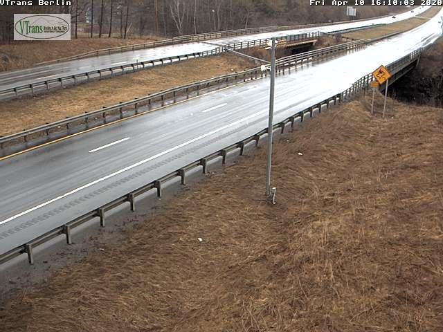
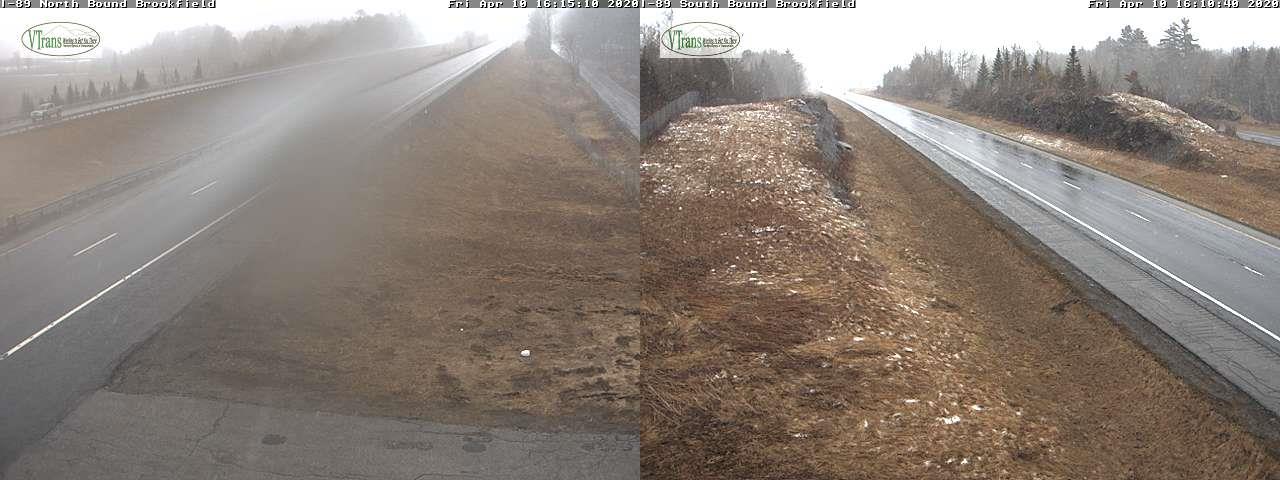
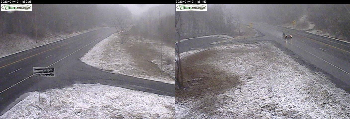
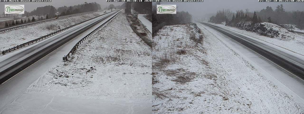
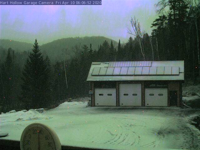
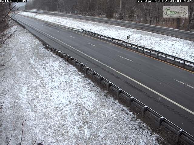
TODAY: Overcast. Frequent mountain snow showers and valley flurries becoming widely scattered late. Accumulation dusting to locally 4” most western slopes of the northern Green’s. A high mid to upper 30s. Northwest winds 10 to 25 mph.

TONIGHT: Occasional evening flurries become isolated overnight with minor additional accumulation. Otherwise partly to mostly cloudy. A low 25 to 30. Northwest winds 10 mph.

SATURDAY: Clouds with a few breaks of sun. A stray northern mountain flurry. Below normal in temperature. A high 35 to 40. Northwest winds 10 to 20 mph.

Looking further ahead…

SATURDAY NIGHT: Becoming mostly clear. A low in the mid-20s.

EASTER SUNDAY: Periods of morning sunshine mixing with more clouds. A high around 50.

MONDAY: Overcast but milder. Periods of rain likely…moderate at times. Breezy to windy. A low 35 to 40. A high 55 to 60.

TUESDAY: Mixed clouds and sun. A low 35 to 40 A high in the 40s.

Average lows ranging upper 20s to mid 30s, average highs 50 to 55.

RH/4-10[end]
Updated Thursday Evening Forecast — April 9th, 2020

Winter Storm Warning Essex County…Winter Weather Advisory Northeast Kingdom thru Friday evening…

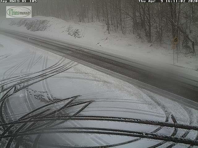
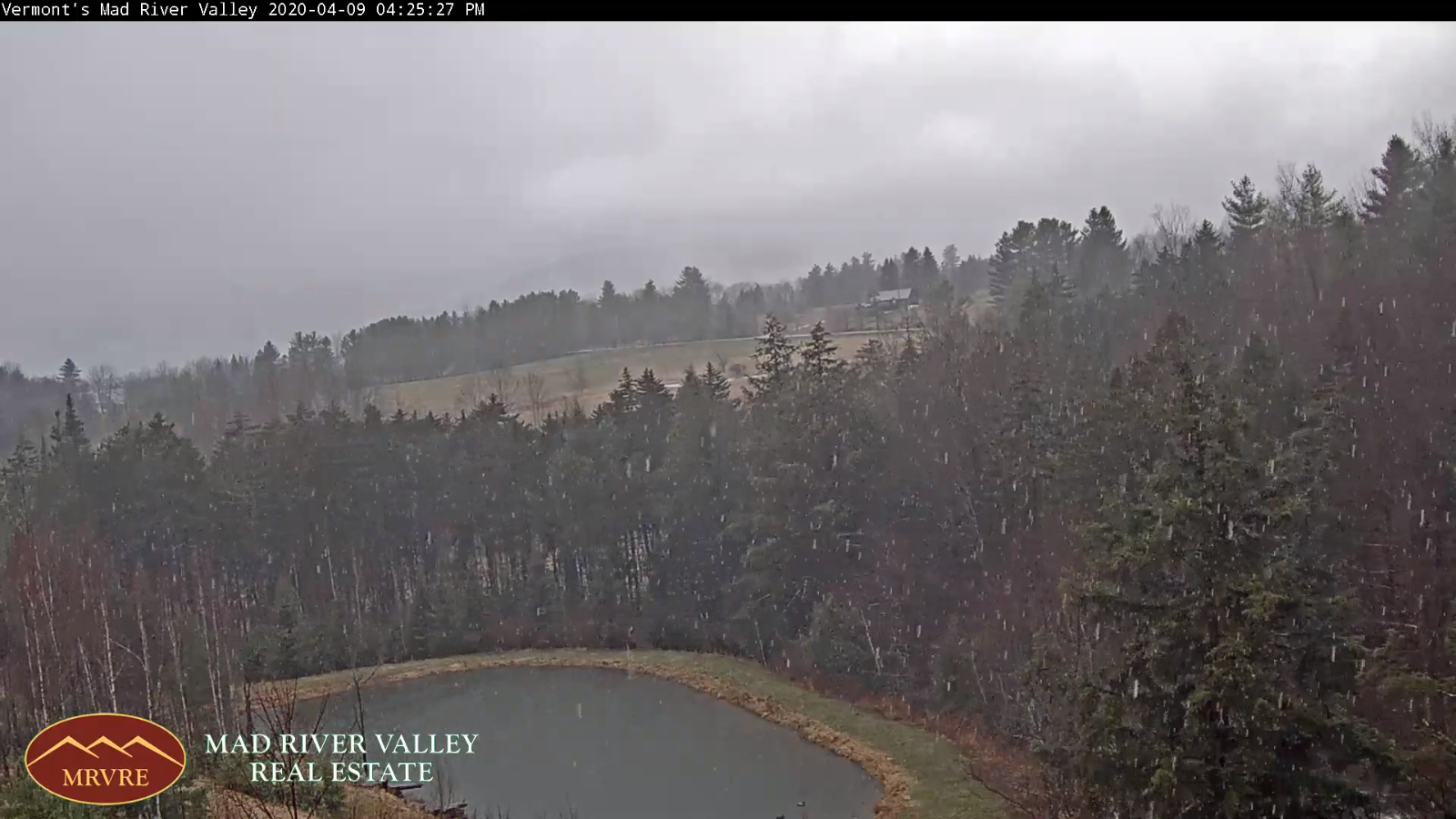
TONIGHT Accumulating wet snow northern areas. A dusting to 2” valleys, with locally more Northeast Kingdom high terrain…tapering off to a few flurries overnight.Becoming partly to mostly cloudy.A low around 32. West to northwesterly wind 10 to 20 mph

TOMORROW: Overcast. Frequent snow showers becoming widely scattered late. Accumulation dusting to 3” most western slopes of the northern Green’s. A high mid to upper 30s. Northwest winds 10 to 25 mph.

FRIDAY NIGHT: A few evening flurries exiting. Otherwise partly to mostly cloudy. A low 25 to 30. Northwest winds 10 mph.

SATURDAY: Clouds with a few breaks of sun. A stray northern mountain flurry. Below normal in temperature. A high mid to upper 30s. Northwest winds 10 to 20 mph.

Looking further ahead…

SATURDAY NIGHT: Becoming mostly clear. A low in the mid-20s.

EASTER SUNDAY: Periods of morning sunshine mixing with more clouds. Maybe a sprinkle southern areas. A high 45 to 50.

MONDAY: Overcast but milder. Good chance for rain…moderate at times. Breezy to windy. A low 35 to 40. A high 55 to 60.

TUESDAY: Mixed clouds and sun. Slight chance for a rain or snow shower Champlain Valley. A low 35 to 40 A high in the 40s.

Average lows ranging mid-20s to low 30s, average highs upper 40s to mid-50s.

RH/4-87[end]
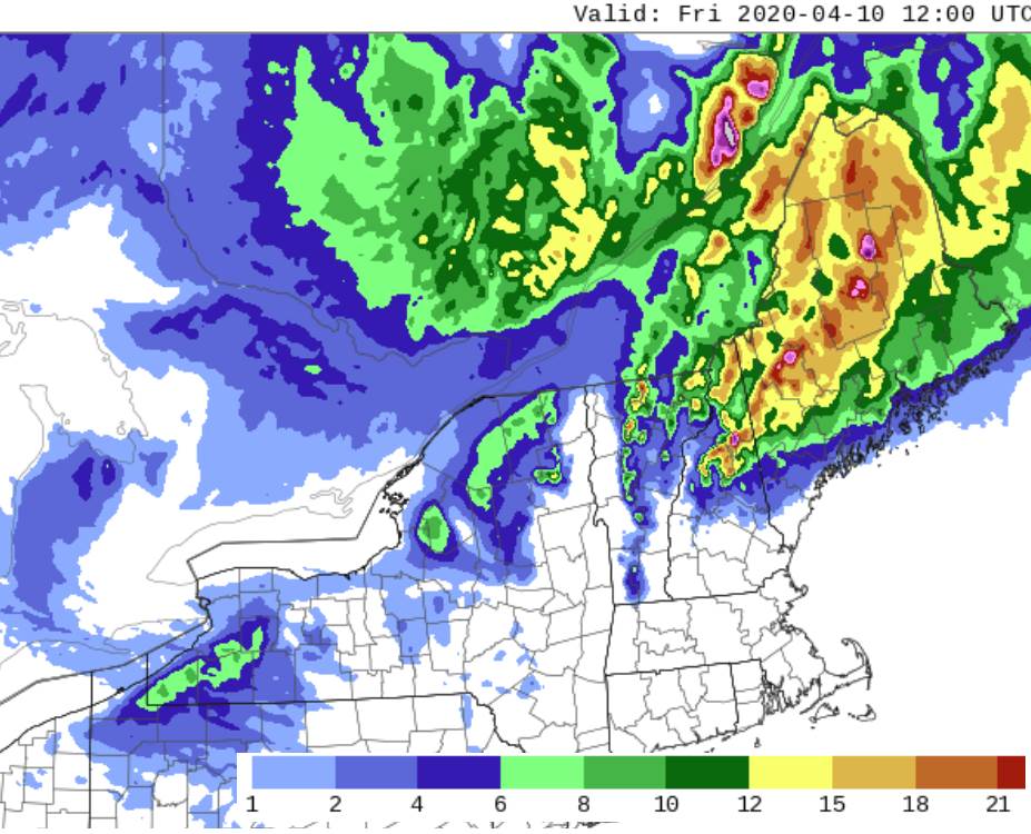
Updated Thursday Morning Forecast — April 9th, 2020

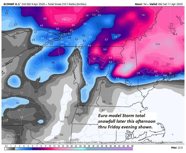
Winter Storm warning Essex county…Winter Weather Advisory Northeast Kingdom Thursday afternoon thru Friday evening…

TODAY: Gray. Periods of rain arriving around 9 to 11 AM…moderate at times…mixing with wet snow higher terrain NE Kingdom up to a couple of inches. Blustery especially late. A high near 45. Southeast winds 10 to 15 mph shifting to westerly at 10 to 25 mph late.

TONIGHT: Bursts of accumulating wet snow northern areas. Occasional light snow showers and flurries southern Vt. Variable snow accumulation with dusting to 3” valleys, 3 to locally 6” northern high terrain. A low 30 to 32. West to northwesterly wind 10 to 25 mph

FRIDAY: Mostly cloudy. Frequent snow showers moderate at times. Accumulation dusting to locally 3” with the most near the western slopes of the northern Green Mountains. Chilly with a high around 35. Blustery northwest winds 10 to 25 mph with higher gusts.

Looking further ahead…

FRIDAY NIGHT: A few evening flurries exiting. Otherwise partly to mostly cloudy. A low 25 to 30.

SATURDAY: Clouds with a few breaks of sun & rather chilly. A high mid to upper 30s.

EASTER SUNDAY: Periods of morning sunshine gives way to lots of afternoon clouds. Chilly start. A low upper teens to mid-20s. A high near 45.

MONDAY: Overcast but mild. Chance for rain. Breezy to windy. A low 35 to 40. A high around 55.

Average lows ranging mid-20s to low 30s, average highs upper 40s to mid-50s.

RH/4-87[end]

Updated Wednesday Evening Forecast — April 8th, 2020

TONIGHT: Overcast. A low 30 to 35. Light southeast winds.

Winter Storm Watch Northeast Kingdom Thursday afternoon thru Friday evening…

TOMORROW: Gray. Periods of rain arriving mid-morning moderate at times in the afternoon. Rain mixing with wet snow before dark with snow coated higher terrain. Blustery at times. A high upper 30s to mid-40s. Southeast winds 10 to 20 mph shifting to westerly late

THURSDAY NIGHT: Accumulating wet snow northern areas with scattered snow showers central and southern Vermont. Highly variable snow accumulation with dusting to 4” valleys and greater than ½ foot northern high terrain. A low 30 to 35. West to northwesterly wind 10 to 25 mph

FRIDAY: Mostly cloudy. Frequent snow showers moderate at times. Accumulation 1 to locally 3” down to valley floors. Below normal temps with a high in the mid-30s. Blustery northwest winds 10 to 25 mph with higher gusts.

Looking further ahead…

FRIDAY NIGHT: Scattered evening flurries early then exiting, otherwise partly to mostly cloudy. A low mid to upper 20s.

SATURDAY: Clouds with a few breaks of sun & rather chilly. A high just 35 to 40.

EASTER SUNDAY: Periods of morning sunshine gives way to lots of afternoon clouds. A low in the 20s. A high rebounding into the low 50s.

MONDAY: Overcast but mild. Chance for rain. Breezy to windy. A low in the mid to upper 30s. A high in the 50s.

Average lows ranging mid-20s to low 30s, average highs upper 40s to mid-50s.

RH/4-87[end]

Updated Wednesday Morning Forecast — April 8th, 2020

TODAY: Sun mixed with afternoon clouds northern areas. Clouds with any leftover rain showers exiting this morning far south. A high 50 to 55 northern areas a little cooler south. Northwest winds 10 mph.

TONIGHT: Overcast. A low in the upper 20s to mid-30s. Light southeast winds.

THURSDAY: Gray. Periods of rain mixed with wet snow above 1200 ft. arriving mid-morning. A couple quick inches elevated terrain. Some partial clearing late and turning blustery. A high upper 30s to mid-40s. Southeast winds 10 to 20 mph.

Looking further ahead…

THURSDAY NIGHT: Cloudy. A few leftover snow showers or flurries with minor accumulation. A low 30 to 35.

FRIDAY: Mostly cloudy. Frequent snow showers and flurries. Accumulation 1 to locally 3” down to valley floors. Below normal temps with a high in the mid-30s. Blustery northwest winds.

SATURDAY: Isolated mountain flurries early. Otherwise considerable cloudiness. A low upper 20s to mid-30s. A high 35 to 40.

EASTER SUNDAY: Periods of morning sunshine gives way to lots of afternoon clouds. A low in the 20s. A high rebounding into the low 50s.

MONDAY: Overcast but mild. Chance for rain. Breezy to windy. A low in the mid to upper 30s. A high in the 50s.

Average lows ranging mid-20s to low 30s, average highs upper 40s to mid-50s.

RH/4-87[end]