Updated Tuesday Morning Forecast — May 19th, 2020

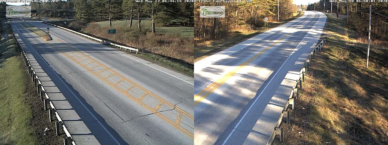
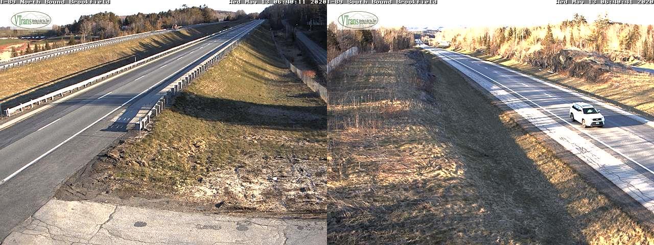
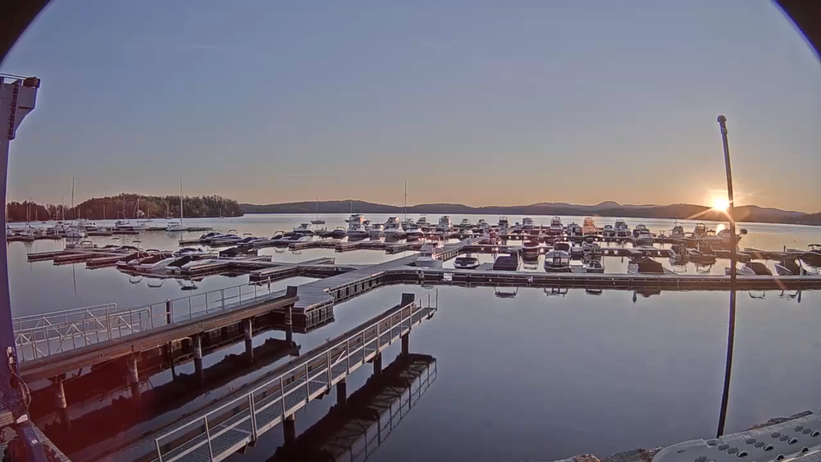
TODAY: High cloudiness filtering the sun at times. Just a bit cooler. A high mid to upper 60s. Light easterly winds.

TONIGHT: Evening cloudiness, then clearing. A low 40 to 45. Light southeast winds.

WEDNESDAY: Sunshine and blue skies and very pleasant. A high around 70. Light south to southwest winds.
Looking further ahead…

WEDNESDAY NIGHT: Mostly clear. A low around 45.

THURSDAY: Mostly sunny, spring-like and pleasant. A high in the low to mid 70s.
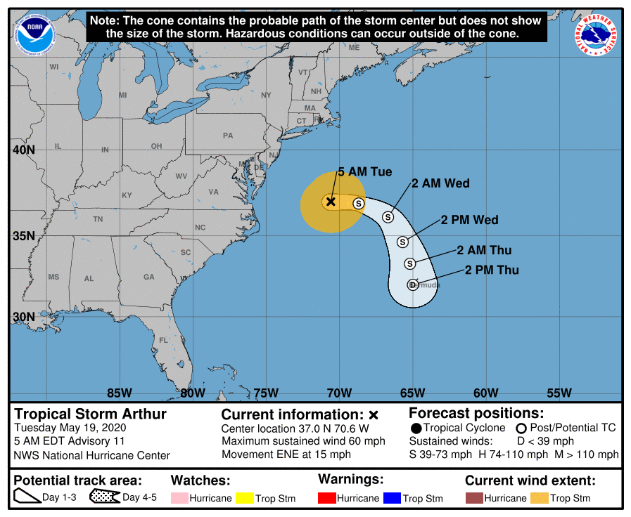
FRIDAY: Bright sunshine and blue skies. A low around 45. Above normal in temperature. A high mid to upper 70s.

SATURDAY: Partly to mostly sunny and little more humid. A low 50 to 55. A high around 75.

SUNDAY: Variable cloudiness. A low 45 to 50. A high about 70.
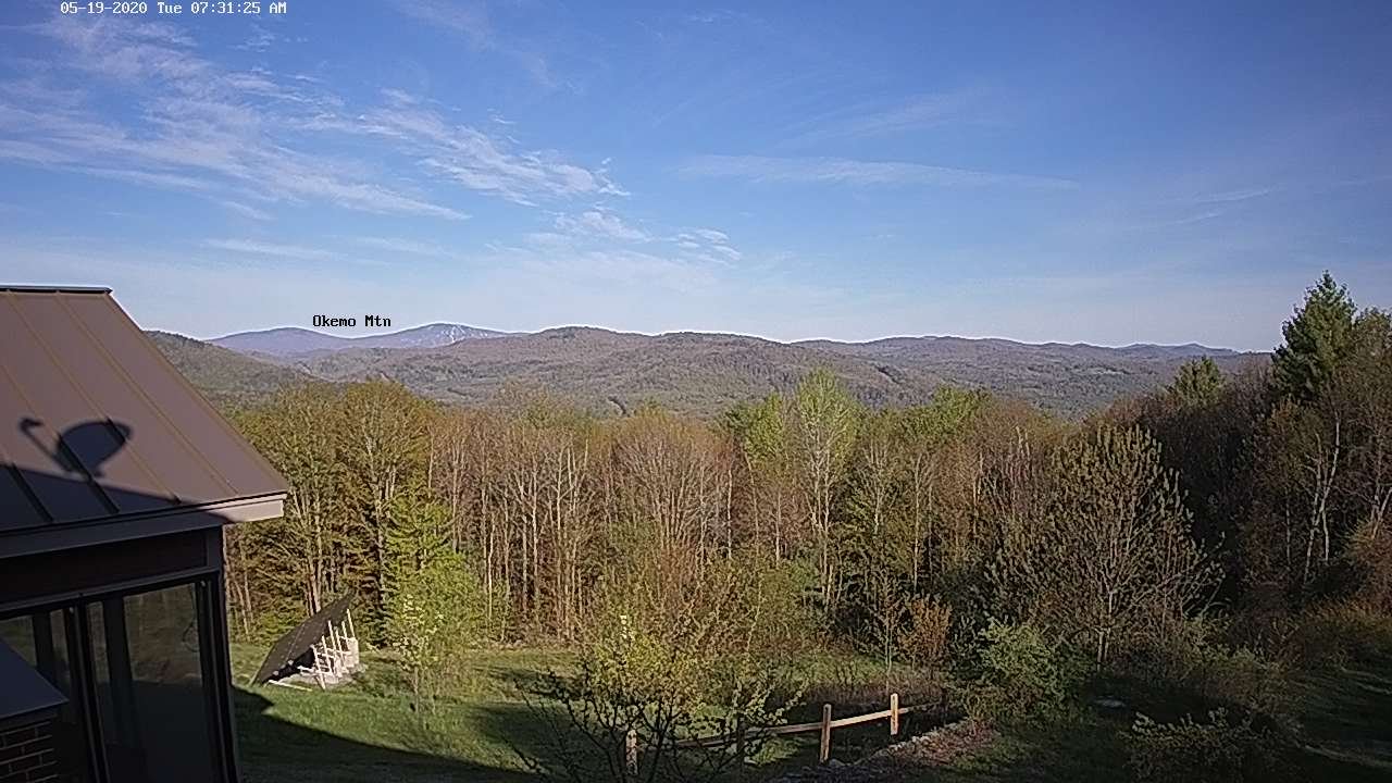
MONDAY MEMORIAL DAY: Clouds mixed with periods of sun. Slight chance for a shower. A low around 55. A high mid-60s to low 70s.

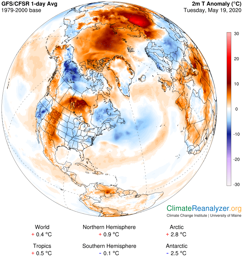
Average lows in the low to mid-40s, average highs upper 60s to low 70s.
RH/5-18[end]
Updated Friday Evening forecast — May 18th, 2020

TONIGHT: Clear with a few high clouds overnight. Cool. A low mid to upper 30s. Light northeast winds.

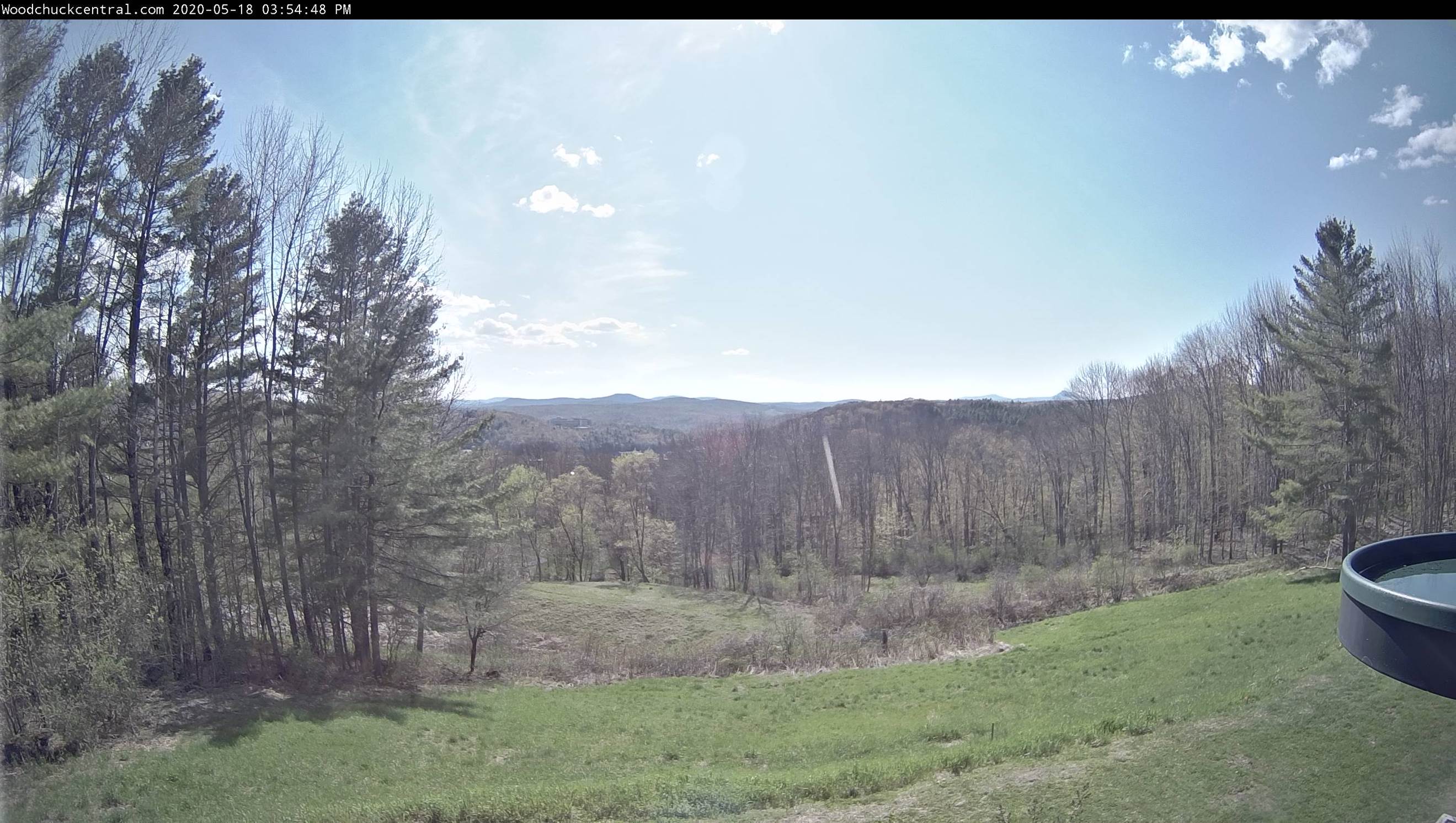
TOMORROW: High cloudiness filtering the sun at times. Just a bit cooler. A high around 65. Light easterly winds.

TUESDAY NIGHT: High clouds early then clear. A low around 40. Light southeast winds.

WEDNESDAY: Sunshine and blue skies and very pleasant. A high 65 to 70. Light south to southwest winds.

Looking further ahead…

WEDNESDAY NIGHT: Mostly clear. A low 40 to 45.

THURSDAY: Mostly sunny, spring-like and pleasant. A high 70 to 75.

FRIDAY: Bright sunshine and blue skies. A low 40 to 45. Above normal in temperature. A high 75 to 80.

SATURDAY: Partly to mostly sunny and little more humid. A low 45 to 50. A high in the 70s.

SUNDAY: Variable cloudiness. A low in the 40s. A high 70 to 75.

Average lows in the low to mid-40s, average highs upper 60s to low 70s.

RH/5-18[end]
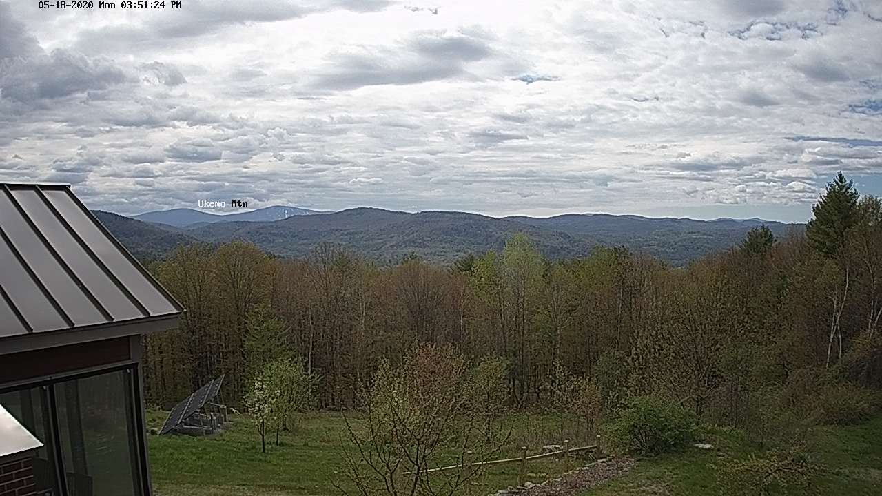
Updated Monday Morning Forecast — May 18th, 2020

TODAY: Any sprinkles toward southern areas exiting this morning. Considerable clouds, giving way to hints of sunshine especially northern areas. Near seasonal in temperature. A high 65 to 70. Light north to northwest winds.

TONIGHT: Mostly clear with few high clouds. A low 35 to 40. Light northeast winds.

TUESDAY: Sunshine filtered through high cloudiness. A high mid to upper 60s. Light easterly winds.

Looking further ahead…

TUESDAY NIGHT: Mostly clear. A low in the low to mid 40s.

WEDNESDAY: Lots of sunshine and blue skies. A high 65 to 70.

THURSDAY: Mostly sunny, spring-like and pleasant. A low 40 to 45. A high 70 to 75.

FRIDAY: Bright sunshine and blue skies. A low around 45. Above normal in temperature. A high 75 to 80.

SATURDAY: Partly to mostly sunny and little more humid. A low 50 to 55. A high around 80.

Average lows in the low to mid-40s, average highs upper 60s to low 70s.

RH/5-18[end]
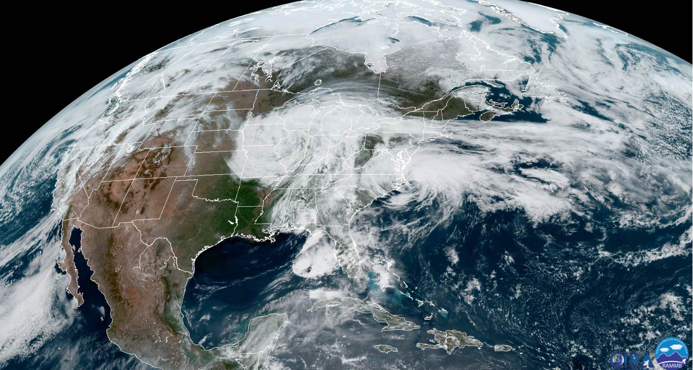
Updated Friday Evening forecast — May 15th, 2020

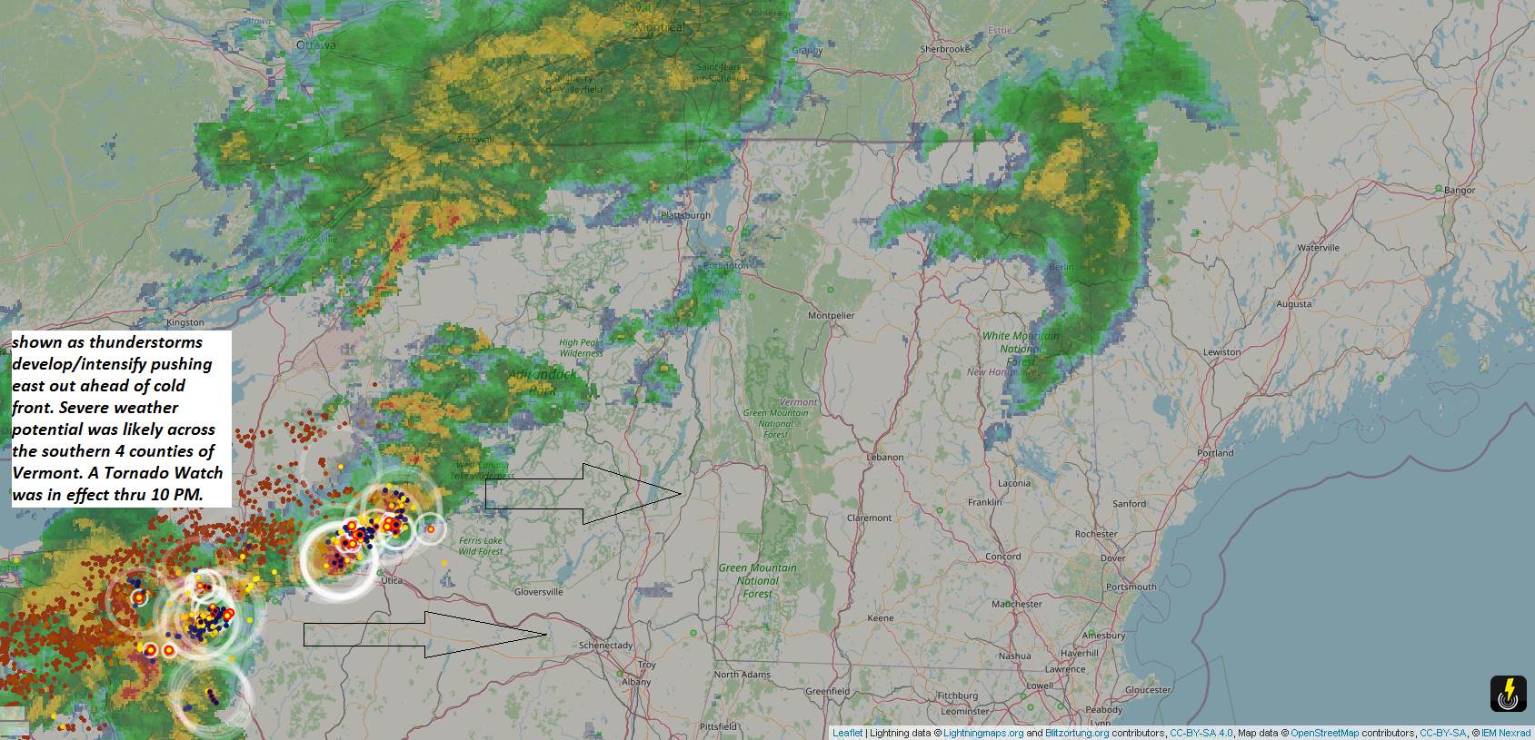
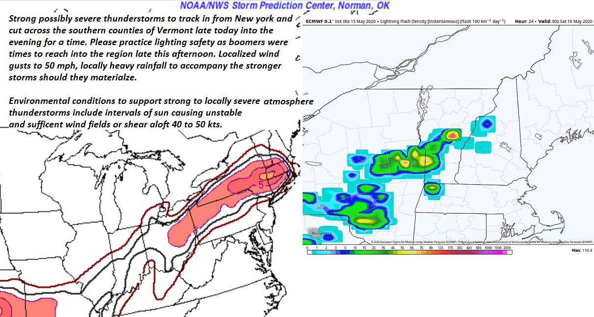
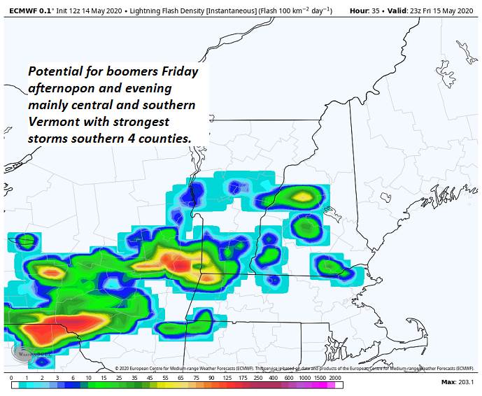
Tornado Watch in effect southern half of Vermont…through 10 PM Friday Evening

TONIGHT: Showers with a few rumbles of thunder northern Vermont, and few embedded strong thunderstorms central areas this evening, with a few locally severe thunderstorms southern Vermont. Expect strong gusty winds, hail and moderate to intense bursts of lighting and possibly a weak tornado. Showers and thunderstorms taper off to isolated sprinkles mid evening. A low 45 to 50. Northwest winds 10 to 15 mph.

TOMORROW: Lots of clouds with a few breaks of sun especially later on. A high in the low 60s. Northwest winds 10 to 15 mph.

SATURDAY NIGHT: Partly cloudy. A low 40 to 45. Little wind.

SUNDAY: Filtered sun through high clouds. A high 60 to 65. Light southeast wind.

Looking further ahead…

SUNDAY NIGHT:Thickening clouds. Rising chance for showers developing overnight. A low around 45

MONDAY: Gray damp and chilly. Good chance for rain, moderate at times. Cooler. A high 50 to 55.

TUESDAY: Becoming mostly sunny. A low dipping to the upper 30s. A high around 60 to 65.

WEDNESDAY: Sunshine filtered by increasing high clouds. A low near 40. A high in the 60s.

Average lows upper-30s to mid-40s, average highs mid to upper 60s.

RH/5-15[end]
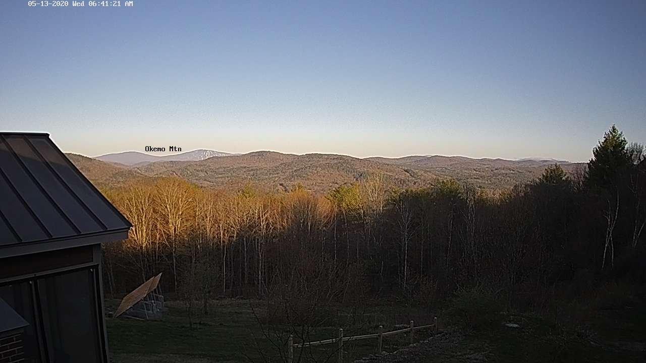
Updated Friday Morning Forecast — May 15th, 2020

TODAY: Lots of clouds, but with intervals of sun southern areas. Widely scattered rain showers, becoming numerous late this afternoon. A few strong thunderstorms especially south of the Barre-Montpelier area…with locally heavy rainfall and gusty winds. A high near 65 northern areas pushing near 70 southern areas. Light southwest winds.

TONIGHT: Leftover showers and isolated thunderstorms exiting southeast this evening a few storms could be strong. A low mid-40s to around 50. Northwest winds 10 mph.

SATURDAY: Chance for a morning sprinkle, otherwise clouds mixed with sunshine later on. A high mid to upper 50s. Northwest winds 10 to 15 mph.

Looking further ahead…

SATURDAY NIGHT: Partly cloudy. A low 40 to 45.

SUNDAY: Filtered sun through high clouds. A high low to mid 60s. Rising chance for showers toward Sunday evening.

MONDAY: Gray damp and chilly. Chance for rain or rain showers, moderate at times. A low around 45. Cooler. A high mid-40s to around 50.

TUESDAY: Becoming mostly sunny. A low dipping into the upper 30s. Warming trend with a high around 60.

WEDNESDAY: Sunshine filtered by increasing high clouds. A low near 40. A high 65 to 70.

Average lows upper-30s to mid-40s, average highs mid to upper 60s.

RH/5-15[end]
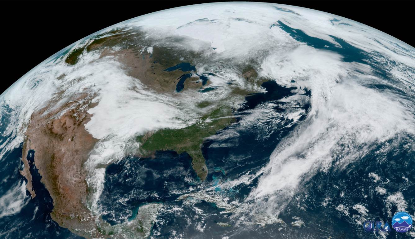
Updated Thursday evening forecast — May 14th, 2020

TONIGHT: Clouding up, otherwise dry this evening. Scattered rain showers arriving late overnight. A low around 45. Light south winds.

TOMORROW: Mainly cloudy, but with intervals of sun southern areas. Chance for morning rain showers, becoming likely and more numerous later in the afternoon. A risk of a few thunderstorms especially southern areas with locally heavy rain fall and gusty winds. A high in the low to mid 60s. Light southwest winds.

FRIDAY NIGHT: Leftover showers and isolated thunderstorms exiting in the evening. A low upper 40s to around 50. Northwest wind 10 mph.

SATURDAY: Chance for a morning sprinkle, otherwise clouds mixed with sunshine later on. A high 55 to 60. Northwest winds 10 to 15 mph.

Looking further ahead…

SATURDAY NIGHT: Partly cloudy. A low 40 to 45.

SUNDAY: Filtered sun through high clouds. A high in the mid-60s. Rising chance for showers toward Sunday evening.

MONDAY: Gray damp and chilly. Chance for rain or rain showers, moderate at times. A low in the 40s. Cooler. A high around 50.

TUESDAY: Considerable leftover cloudiness with a isolated showers, gives way to partial afternoon sunshine. A low in the mid-40s. Warming trend with a high 60 to 65.

Average lows upper-30s to mid-40s, average highs mid to upper 60s.

RH/5-13[end]
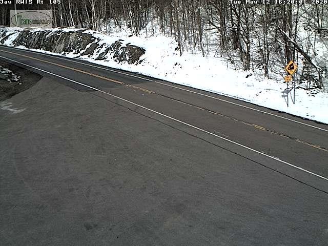
Updated Thursday Morning Weather — May 14th, 2020

TODAY: A beauty, with mostly sunny skies. High cloudiness filtering the sun later this afternoon. A high near 60. West breeze 10 mph.

TONIGHT: Overcast. Occasional rain showers after midnight. A low around 45. Light west winds.

FRIDAY: Gray. Scattered rain showers in the morning becoming more numerous and moderate to briefly heavy at times later in the afternoon. A risk of a few thunderstorms especially southern areas. A high 55 to 60. West winds 10 mph.

Looking further ahead…

FRIDAY NIGHT: Considerable clouds. Leftover widely scattered rain showers. A low upper 40s to around 50.

SATURDAY: Chance for a morning sprinkle, otherwise lots of clouds. A high 55 to 60.

SUNDAY: Sunshine mixed with clouds thickening up late. A low 40 to 45. A high in the mid-60s. Rising chance for showers toward Sunday evening.

MONDAY: Gray damp and chilly. Chance for rain or rain showers, moderate at times. A low in the 40s. Cooler. A high around 50.

TUESDAY: Considerable leftover cloudiness with a isolated showers, gives way to partial afternoon sunshine. A low in the mid-40s. Warming trend with a high 60 to 65.

Average lows upper-30s to mid-40s, average highs mid to upper 60s.

RH/5-13[end]
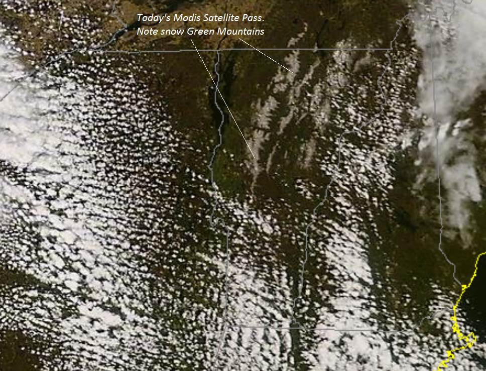
Updated Wednesday Evening Forecast — May 13th, 2020

Freeze warning overnight thru 8 AM Thursday…

TONIGHT: Clear with freezing temperatures. A low 30 to 32 degrees. Light west wind.

TOMORROW: Sunshine, becoming filtered by increasing high clouds. A high upper 50s to around 60. West breeze 10 mph.

THURSDAY NIGHT: Overcast. Rising chance for rain showers after midnight. A low around 45. Light west winds.

FRIDAY: Lots of clouds. Chance for rain showers…moderate at times…with a risk for a few thunderstorms southern areas. A high 55 to 60. West winds 10 mph.

Looking further ahead…

FRIDAY NIGHT: Considerable clouds. A low around 45.

SATURDAY: Morning clouds gives way to increasing sunshine. A high 55 to 60.

SUNDAY: Sunshine mixed with clouds thickening up late. A low near 40. A high in the mid-60s. Rising chance for showers toward Sunday evening.

MONDAY: Gray. Chance for rain or rain showers, moderate at times. A low 45 to 50. Cooler. A high 50 to 55.

Average lows upper-30s to mid-40s, average highs mid to upper 60s.

RH/5-13[end]

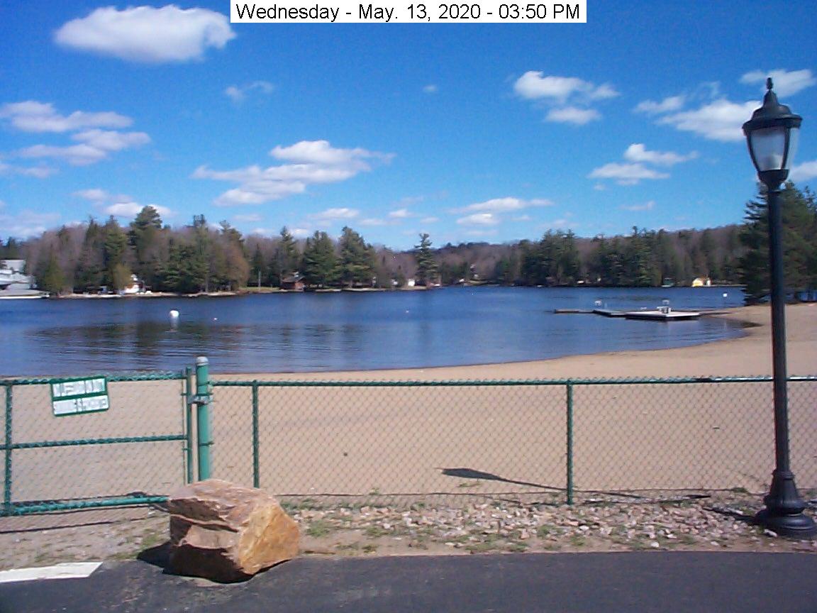
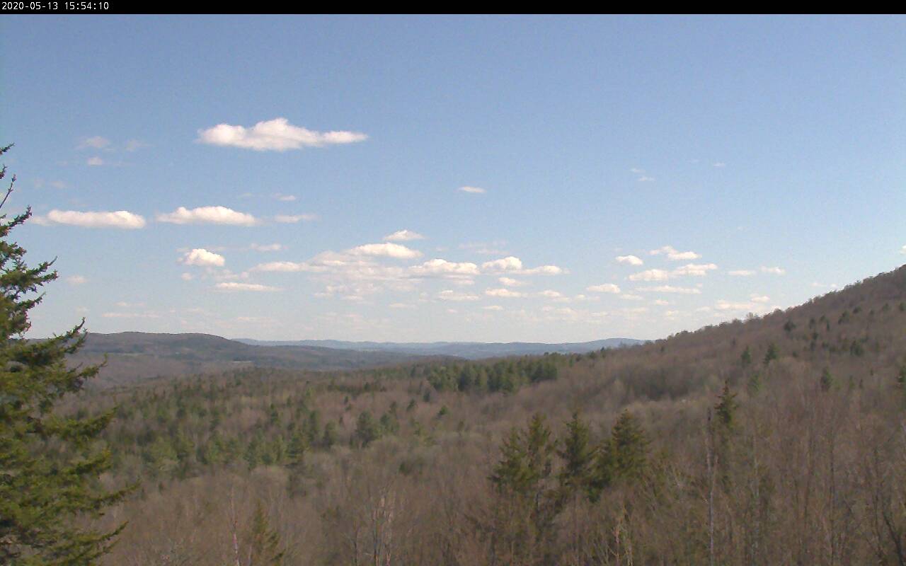
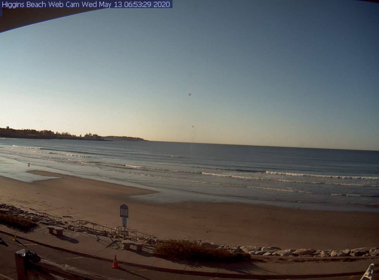
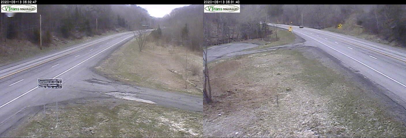
Updated Wednesday morning Forecast — May 13th, 2020

TODAY: Sunshine with more afternoon clouds. A high near 50 with the start of a warming trend. Northwest winds 10 to 20 mph.

TONIGHT: Clear and chilly. A low around freezing or 32 degrees. Light west breeze.

THURSDAY: Sunshine, becoming filtered by increasing high clouds. A high upper 50s to around 60. West breeze 10 mph.

Looking further ahead…

THURSDAY NIGHT: Overcast. Rising chance for rain showers after midnight. A low around 45.

FRIDAY: Lots of clouds. Chance for rain showers…moderate at times…with a risk for a few thunderstorms southern areas. A high near 60.

SATURDAY: Partly to mostly sunny. A low around 45. A high around 60.

SUNDAY: Sunshine mixed with more clouds thickening up late. A low near 40. A high 60 to 65. Rising chance for showers toward Sunday evening.

MONDAY: Mainly cloudy. Chance for rain showers. A low 45 to 50. A high around 55.

Average lows upper-30s to mid-40s, average highs mid to upper 60s.

RH/5-13[end]

Updated Tuesday Evening Forecast — May 12th, 2020

Freeze Warning in Effect late tonight…

TONIGHT: A few rain showers, changing to snow showers this evening with minor accumulation. Dry far northern areas, otherwise clearing. A low 25 to 30. West breeze 10 mph.

TOMORROW: Morning sun mixing with more clouds. A high near 50 with the start of a warming trend. Northwest winds 10 to 20 mph.

WESNESDAY NIGHT: Clear and chilly A low around 30. Light west breeze.

THURSDAY: Sunshine, becoming filtered by high clouds, thickening up clouds late. A high 55 to 60. West breeze 10 mph.

Looking further ahead…

THURSDAY NIGHT: Overcast. Rising chance for rain showers after midnight. A low around 45.

FRIDAY: Lots of clouds. Chance for rain showers…moderate at times…maybe a rumble of thunder southern areas. A high 60 to 65.

SATURDAY: Partly to mostly sunny. A low around 45. A high around 60.

SUNDAY: Morning sun then clouding up in the afternoon with a rising chance for rain showers. Risk for thunder late. A low near 40. A high in the mid-60s.

MONDAY: Chance for morning rain showers, then partial afternoon clearing. A low around 45. A high around 55.

Average lows upper-30s to mid-40s, average highs mid to upper 60s.

RH/5-12[end]