Updated Tuesday Morning Forecast — May 12th, 2020

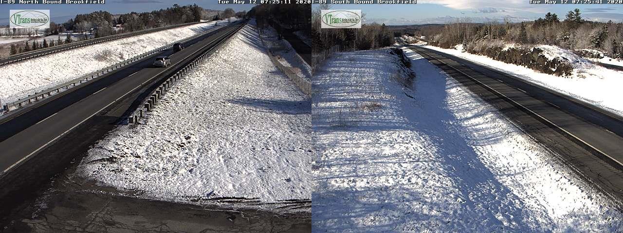
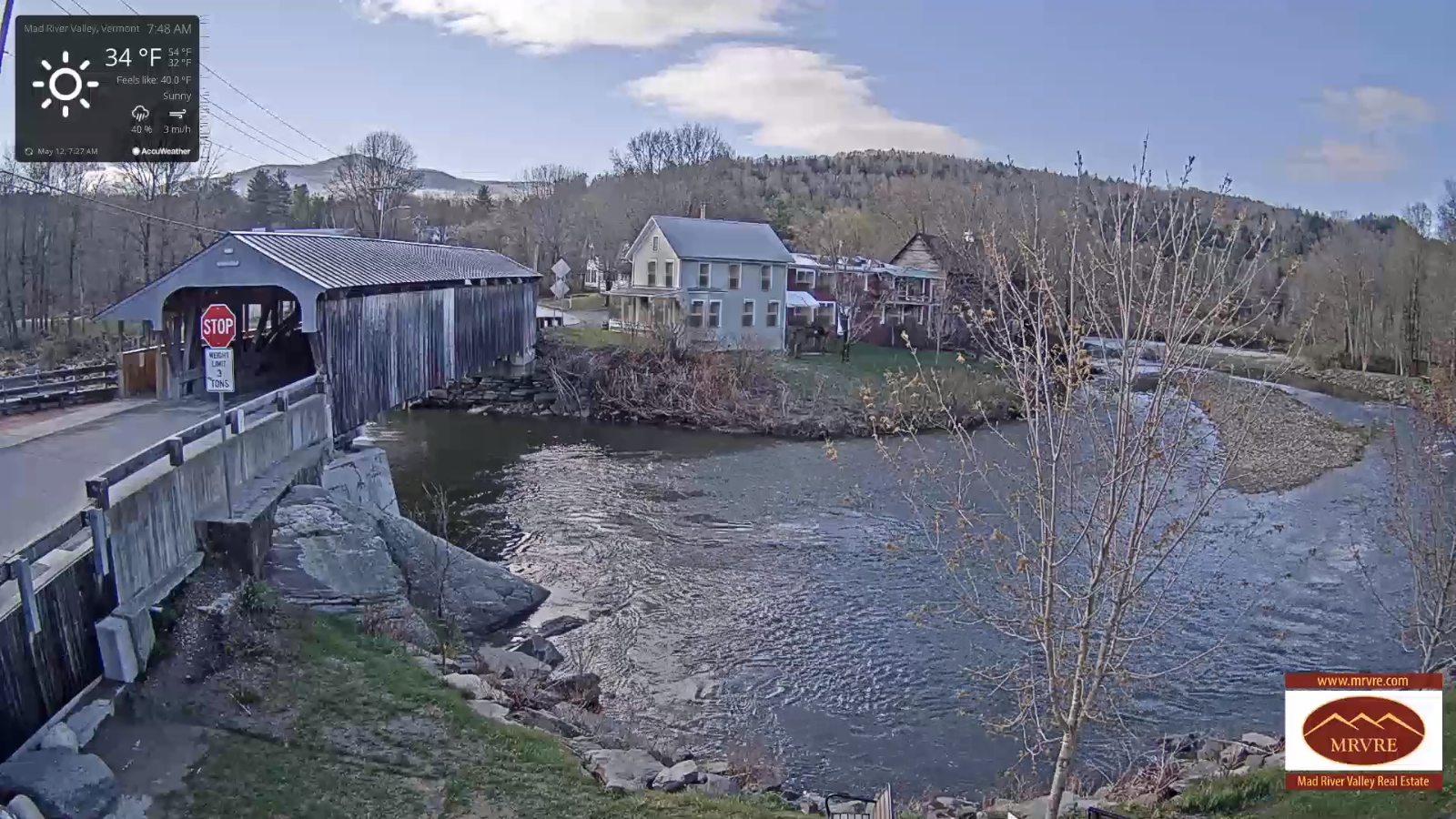
TODAY: Partly sunny. Scattered late day snow and rain showers developing. Still cold. A high in the mid-40s. Northwest winds 10 to 20 mph in the afternoon.

TONIGHT: Widely scattered snow showers with minor accumulation early to mid-evening, then clearing. A low 25 to 30. Light west winds.

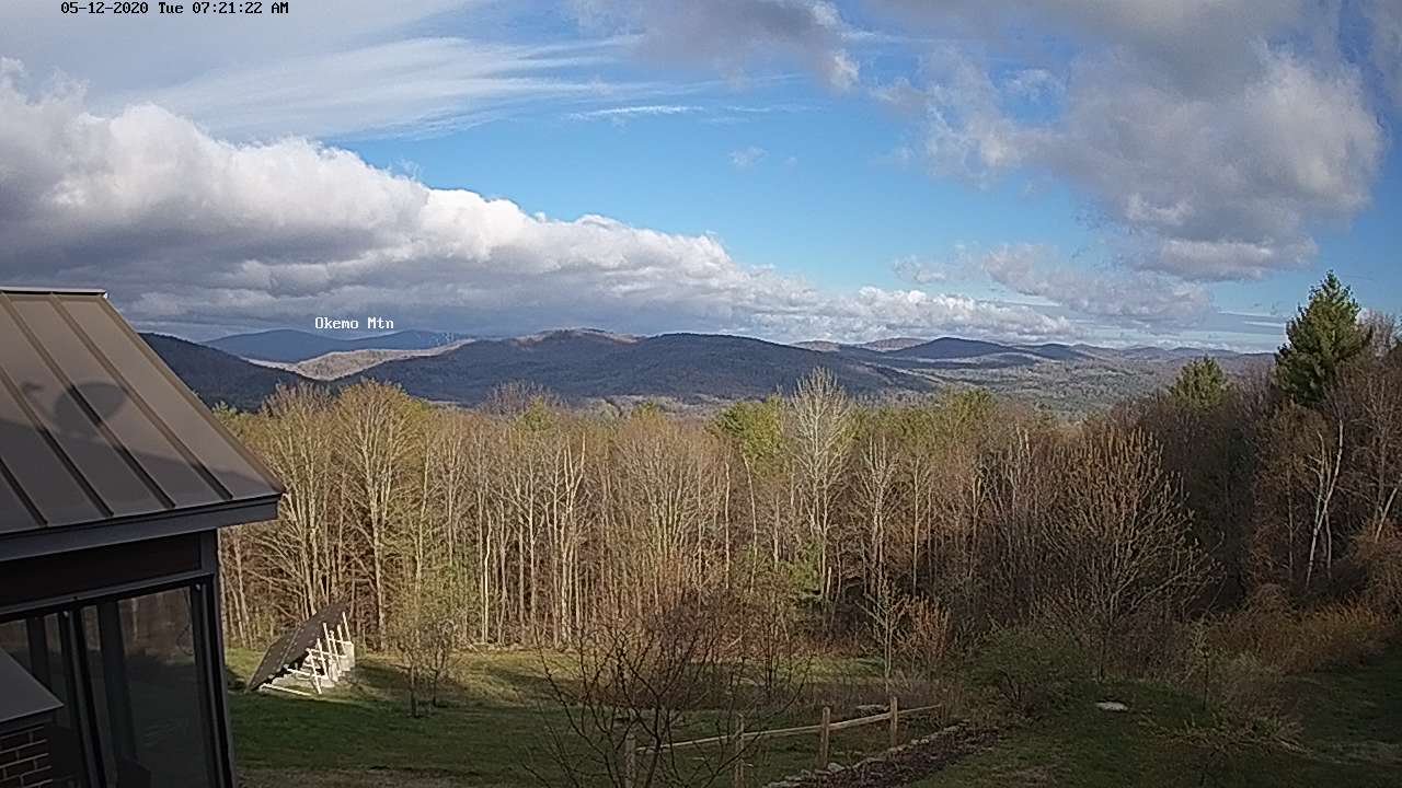
WEDNESDAY: Morning sun mixing with more clouds. A high near 50, or about 15 to 20 degrees below normal. Start of a warming trend. Northwest winds 10 to 20 mph.
Looking further ahead…

WESNESDAY NIGHT: Clear and chilly A low 30 to 35.
THURSDAY: Sunshine filtered by high clouds, thickening clouds late. A high upper 50s to around 60.

FRIDAY: Lots of clouds. Chance for rain showers. Maybe a rumble of thunder. A low 40 to 45. A high in the low to mid 60s.

SATURDAY: Partly to mostly sunny. A low around 45. A high around 60.
SUNDAY: Morning sun then clouding up in the afternoon. A rising chance for rain showers. A low around 45. A high in the mid-60s.

Average lows upper-30s to mid-40s, average highs in the mid to upper 60s.
RH/5-12[end]
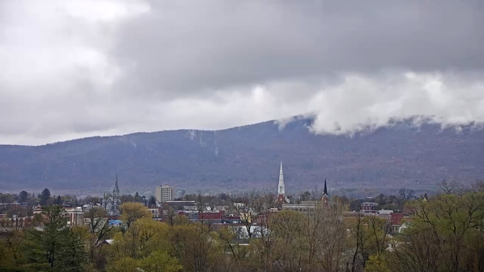
Updated Monday Evening Forecast — May 11th, 2020

TONIGHT: Rain showers briefly moderate at times this evening…mixing with wet snow. Accumulations up to an inch on grassy surfaces especially the Northeast Kingdom. A low 32 to 35. Northwest winds 10 mph.

TOMORROW: Partly sunny. Widely scattered to isolated afternoon rain showers mixed with wet snow flakes late. Still cold. A high 40 to 45. Northwest winds 10 to 20 mph in the afternoon.

TUESDAY NIGHT: Isolated mountain flurries early, then clearing. A low 25 to 30. Light west winds.

WEDNESDAY: Morning sun mixing with more clouds. A high upper 40s to near 50 or about 15 degrees below normal. Start of a warming trend. Northwest winds 10 to 20 mph.

Looking further ahead…

WESNESDAY NIGHT: Clear and chilly A low in the 30s.

THURSDAY: Sunshine filtered by high clouds thickening clouds late. A high upper 50s to around 60.

FRIDAY: Lots of clouds. Chance for rain showers. Maybe a rumble of thunder. A low 40 to 45. A high in the mid-60s close to seasonal norms.

SATURDAY: Partly to mostly sunny. A low around 45. A high around 60.

Average lows upper-30s to mid-40s, average highs in the mid to upper 60s.

RH/5-11[end]
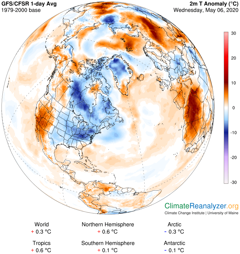
Updated Monday Morning forecast — May 11th, 2020

TODAY: Brief morning sun, then thickening clouds. Rain showers becoming likely mid-day on. Slight chance for a few rumbles of thunder southern Vermont, possible small hail or graupel. A high 50 to 55, or about 10 to 15 degrees below seasonal norms. Light southwest winds.

TONIGHT: Variably cloudy. Rain showers briefly moderate at times this evening mixed with a few wet snow flakes higher southern terrain. Maybe a few rumbles of thunder. A low 32 to 35. Northwest winds 10 mph.

TUESDAY: Partly sunny. Widely scattered to isolated afternoon rain showers, possibly some graupel. Still cold. A high 45 to 50, or about 20 degrees below normal. Northwest winds 10 to 20 mph in the afternoon.

Looking further ahead…

TUESDAY NIGHT: Slight chance for an evening mountain flurry, then clearing. A low around 30.

WEDNESDAY: Morning sunshine mixing with more clouds. A high upper 40s to low 50s or about 15 degrees below normal. Start of a warming trend.

THURSDAY: Sunshine filtered through high clouds. A low in the 30s. A high upper 50s to around 60 or about 5 to 10 degrees below normal.

FRIDAY: Overcast. Chance for rain or rain showers. Maybe a rumble of thunder southern Vermont. A low 40 to 45. A high in the mid-60s close to seasonal norms.

Average lows ranging upper-30s to mid-40s, average highs in the mid to upper 60s.

RH/5-11[end]
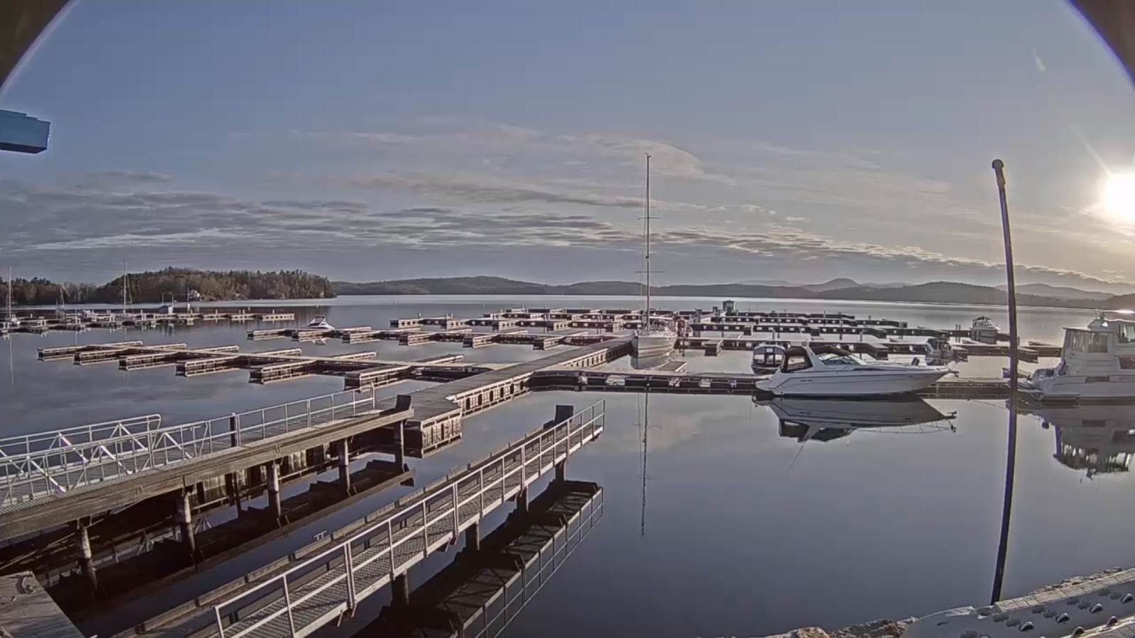
Updated Friday Evening Forecast — May 8th, 2020

TONIGHT: Clouding up. Accumulating wet snow arrives this evening, and tapers off toward daybreak. Accumulation 2 to 3” with locally 5” Green Mountain summits. A low upper 20s to about 30. North to northwest winds 10 mph.

TOMORROW: Mainly cloudy with intervals of sun, cold & blustery. Accumulating wet snow showers. Accumulation of a dusting to 2 inches higher terrain. A high mid to upper 30s, or about 25 to 30 degrees below normal. Gusty west to northwest winds 10 to 25 mph with higher gusts lowering wind chills.

SATURDAY NIGHT: Isolated flurries. Otherwise partly cloudy skies. A low around 30. Westerly wind 10 mph.

SUNDAY Mother’s Day: Mixed sun and clouds. A few flurries far northern areas. A high mid to upper 40s, or about 15 to20 degrees below normal. Westerly winds 10 to 20 mph.

Looking further ahead…

SUNDAY NIGHT: A few evening clouds then clearing and partially moonlit. A low around 30.

MONDAY: Lots of clouds. A rising chance for rain showers. A high near 50, or about 15 degrees below seasonal norms.

TUESDAY: Morning sunshine then clouding up. A low around 30. A high near 45.

WEDNESDAY: Mostly cloudy. A low in the 30s. A high around 50. Start of a warming trend.

Average lows ranging mid-30s to low 40s, average highs in the mid-60s.

RH/5-8[end]
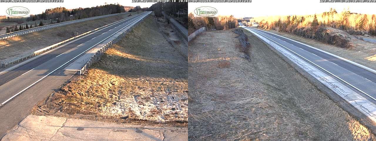
Updated Friday morning Forecast — May 8th, 2020

TODAY: Variably cloudy, unsettled. Scattered rain showers mixed with wet snow flakes develops a little later this morning…drying up in the afternoon. A high 45 to 50 or about 15 to 20 degrees below normal. Southwest winds 10 to 20 mph in the afternoon.

TONIGHT: Overcast. Accumulating wet snow…moderate at times. Accumulation 1 to 3” with locally 5” Green Mountain summits. A low upper 20s to about 30. North to northwest winds 10 mph.

SATURDAY: Mainly cloudy, cold & blustery. Accumulating wet snow showers with additional accumulation of a dusting to 2 inches especially western slopes of northern Green Mountains. A high mid to upper 30s, or about 25 to 30 degrees below normal. Gusty west to northwest winds 10 to 25 mph with higher gusts lowering wind chills.

Looking further ahead…

SATURDAY NIGHT: Evening flurries dry up. Otherwise partly cloudy skies. A low around 30.

SUNDAY Mother’s Day: Mixed sun and clouds. Chance for a flurry northern areas. A high in the low 40s, or about 20 to 25 degrees below normal.

MONDAY: Lots of clouds. A low 32 to 35. A high near 50, or about 15 degrees below seasonal norms.

TUESDAY: Morning sunshine then clouding up. A low around 30. A high in the low to mid-40s.

WEDNESDAY: Mostly cloudy. A low in the 30s. A high pushing 50 to 55 with a start of a significant warming trend.

Average lows ranging mid-30s to low 40s, average highs in the mid-60s.

RH/5-8[end]
Updated Thursday Evening Forecast — May 7th, 2020

TONIGHT: Rain showers developing mid evening…mixing with wet snowflakes at times exiting overnight, then clearing.A low in the mid-30s. West to northwest winds 10 mph.

TOMORROW: Variably cloudy, unsettled. Scattered rain showers mixed with wet snow flakes elevated areas mid to late morning…drying up in the afternoon. A high upper 40s to around 50. Southwest winds 10 to 20 mph in the afternoon.

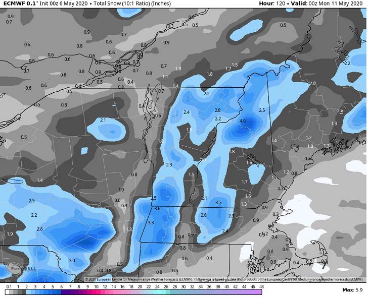
FRIDAY NIGHT: Overcast. Accumulating wet snow becoming likely…moderate at times. Accumulation 2 to locally 5”with the most in the higher terrain. A low upper 20s to about 30. North to northwest winds 10 mph.

SATURDAY: Mainly cloudy, cold & blustery. Good chance for periods of light accumulating wet snow with additional accumulation in elevated terrain. A high mid to upper 30s. Gusty northwest winds 10 to 25 mph with higher gusts and lowered wind chills.

Looking further ahead…

SATURDAY NIGHT: Partly cloudy. A low around 30.

SUNDAY Mother’s Day: Mixed sun and clouds. Widely scattered flurries northern areas. A high upper 30s to around 40.

MONDAY: Lots of clouds. A low 32 to 35. A high around 45.

TUESDAY: Morning sunshine then clouding up. A low around 30. A high in the 40s.

WEDNESDAY: Mostly cloudy. A low in the 30s. A high 45 to 50.

Average lows ranging mid-30s to low 40s, average highs in the mid-60s.

RH/5-7[end]
Updated Thursday Morning forecast — May 7th, 2020

TODAY: Morning sunshine gives way to thickening clouds this afternoon. Chance for spotty light rain showers spreading west to east late. A high in the mid to upper 50s. West breeze 10 mph.

TONIGHT: Rain showers…mixing with wet snow with some minor accumulation exiting overnight to partial clearing.A low in the mid-30s. Light west to northwest winds.

FRIDAY: More clouds than sunshine, unsettled. Scattered rain showers mixed with wet snow flakes elevated areas mid to late morning…drying up in the afternoon. A high upper 40s to around 50. West to southwest winds 10 to 20 mph in the afternoon.

Looking further ahead…

FRIDAY NIGHT: Overcast. Accumulating wet snow becoming likely…moderate at times. Accumulation 2 to locally 5”with the most in the higher terrain. A low upper 20s to about 30.

SATURDAY: Mainly cloudy, cold & blustery. Good chance for periods of light accumulating wet snow with additional accumulation in elevated terrain. A high just in the mid to upper 30s.

SUNDAY Mother’s Day: Mixed sun and clouds. Widely scattered flurries northern areas. A low upper 20s to around 30. A high around 40.

MONDAY: Mostly cloudy. A low around 30. A high around 45.

TUESDAY: Partly to mostly sunny. A low around 30. A high in the mid to upper 40s.

Average lows ranging mid-30s to low 40s, average highs in the mid-60s.

RH/5-7[end]

Updated Wednesday Evening forecast — May 6th, 2020

TONIGHT: Cloudy periods, otherwise moonlit. A low near 32. Light northwest winds.

Full “Flower Moon” 6:45 AM

TOMORROW: Sunny periods early, otherwise lot of clouds. Isolated rain showers northern areas developing late. A high in the mid to upper 50s. Northwest breeze 10 mph.

THURSDAY NIGHT: Evening clouds, with rain showers developing…mixed with wet snowflakes at times exiting overnight to partial clearing.A low around 35. Light west winds.

FRIDAY: Partly cloudy and unsettled. A few brief rain and snow showers mid to late morning exiting early in the afternoon. A high around 50. West to southwest winds 10 to 15 mph.

Looking further ahead…

FRIDAY NIGHT: Overcast. Good chance for a rain/snow mix changing to all wet snow…moderate at times. Snow accumulation of few inches with slick travel. A low about 30.

SATURDAY: Mainly cloudy, cold & blustery. Good chance for periods of light accumulating wet snow with additional accumulation in elevated terrain. A high 35 to 40.

SUNDAY Mother’s Day: Mixed sun and clouds with an isolated mountain flurry. A low upper 20s to around 30. A high around 45.

MONDAY: Mostly cloudy. A low 30 to 35. A high around 45.

Average lows ranging mid-30s to low 40s, average highs in the mid-60s.

RH/5-6[end]

Updated Wednesday Morning Forecast — May 6th, 2020

TODAY: Morning sun then considerable cloudiness. A high 50 to 55. Light northwest winds.

TONIGHT: Cloudy periods, otherwise moonlit. A low 30 to 35. Light northwest winds.

Full “Flower Moon” 6:45 AM

THURSDAY: Sunny periods early, otherwise lot of clouds. A high around 55. Northwest breeze 10 mph.

Looking further ahead…

THURSDAY NIGHT: Evening clouds with rain showers mixed with wet snow likely exiting overnight with partial clearing. A coating of wet snow higher elevated terrain with slick spots. A low around 35.

FRIDAY: Partly cloudy and unsettled. A few brief rain showers mixed with snow mid to late morning exiting early in the afternoon. A high 45 to 50.

SATURDAY: Mixed sun and clouds, well below normal in temperature. Chance for periods of light accumulating wet snow before daybreak exiting…scattered snow showers flare up in the afternoon. A couple to a few inches southern and central Green Mountain slopes, up to an inch valleys. Blustery to windy. A low about 30. A high upper 30s to around 40.

SUNDAY Mother’s Day: Considerable clouds and blustery. Scattered light snow showers across northern higher terrain. A low upper 20s to around 30. A high in the low 40s.

MONDAY: Morning sun, then mostly cloudy. A low in the mid-30s. A high 45 to 50.

Average lows ranging mid-30s to low 40s, average highs in the mid-60s.

RH/5-5[end]

Updated Tuesday Evening forecast — May 5th, 2020

TONIGHT: Scattered clouds or mostly clear. A low in the low 30s. Light northwest winds.

TOMORROW: Morning sun then considerable cloudiness. A high around 50. Light northwest winds.

WEDNESDAY NIGHT: Cloudy periods. A low 30 to 35. Light northwest winds.

THURSDAY: Sunny periods, otherwise lot of clouds. A high around 55. Northwest breeze 10 mph.

Looking further ahead…

THURSDAY NIGHT: Cloudy. Rain showers becoming likelymixing with wet snow overnight exiting before daybreak. Less than an inch of accumulation elevated terrain. A low around 35.

FRIDAY: Partly cloudy and unsettled. Chance for a few brief rain or snow showers mid-morning into the early afternoon. A high 45 to 50.

SATURDAY: Cloudy & raw. Chance for periods of accumulating wet snow. A few to several inches possible especially elevated terrain. Blustery to windy. A low about 30. A high mid to upper 30s.

SUNDAY: Cloudy. A low in the upper 20s to around 30. A high in the low 40s.

MONDAY: Morning sun, then mostly cloudy. A low in the mid-30s. A high in the low 40s.

Average lows ranging mid-30s to low 40s, average highs in the mid-60s.

RH/5-5[end]