
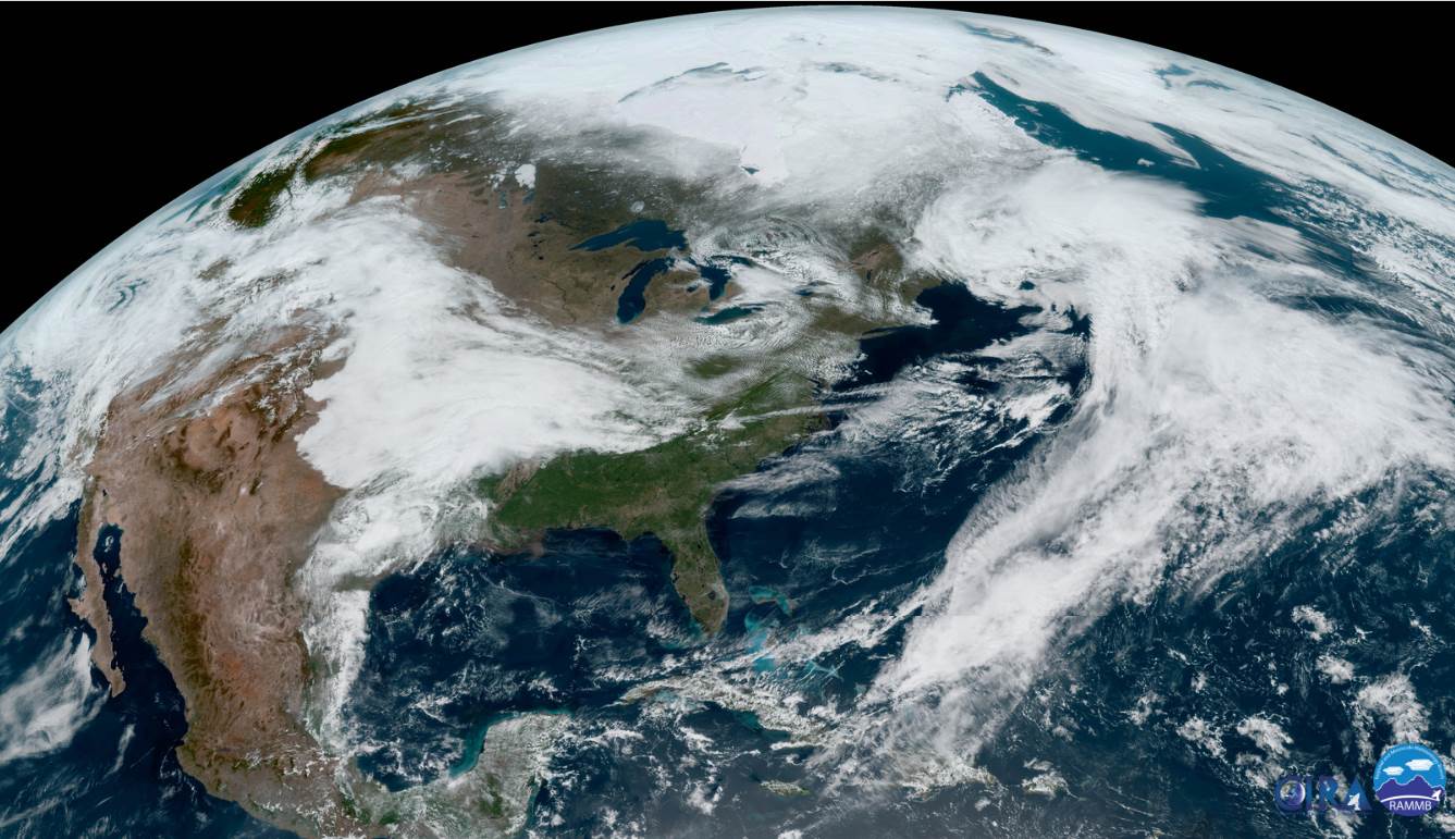
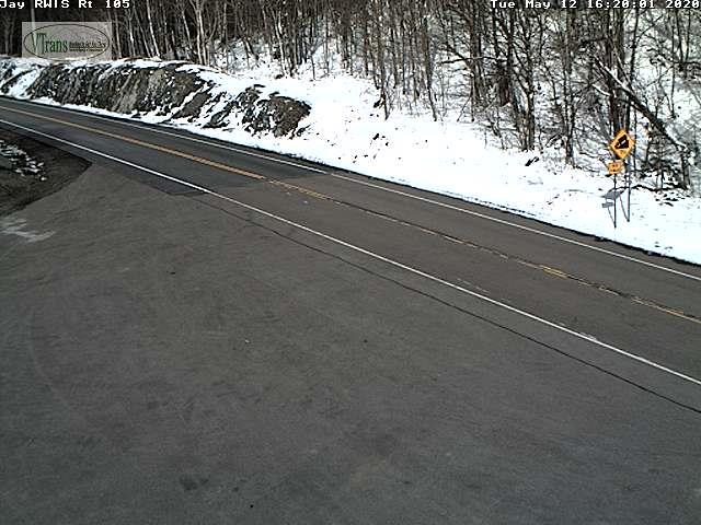
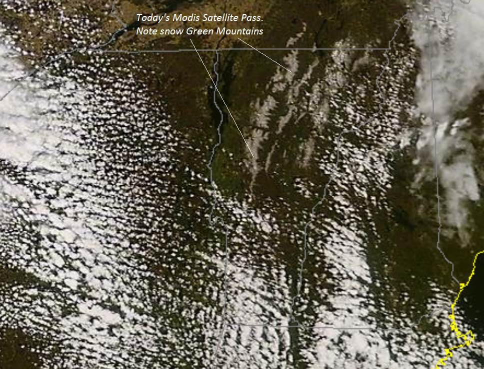
Freeze Warning in Effect late tonight…
TONIGHT: A few rain showers, changing to snow showers this evening with minor accumulation. Dry far northern areas, otherwise clearing. A low 25 to 30. West breeze 10 mph.
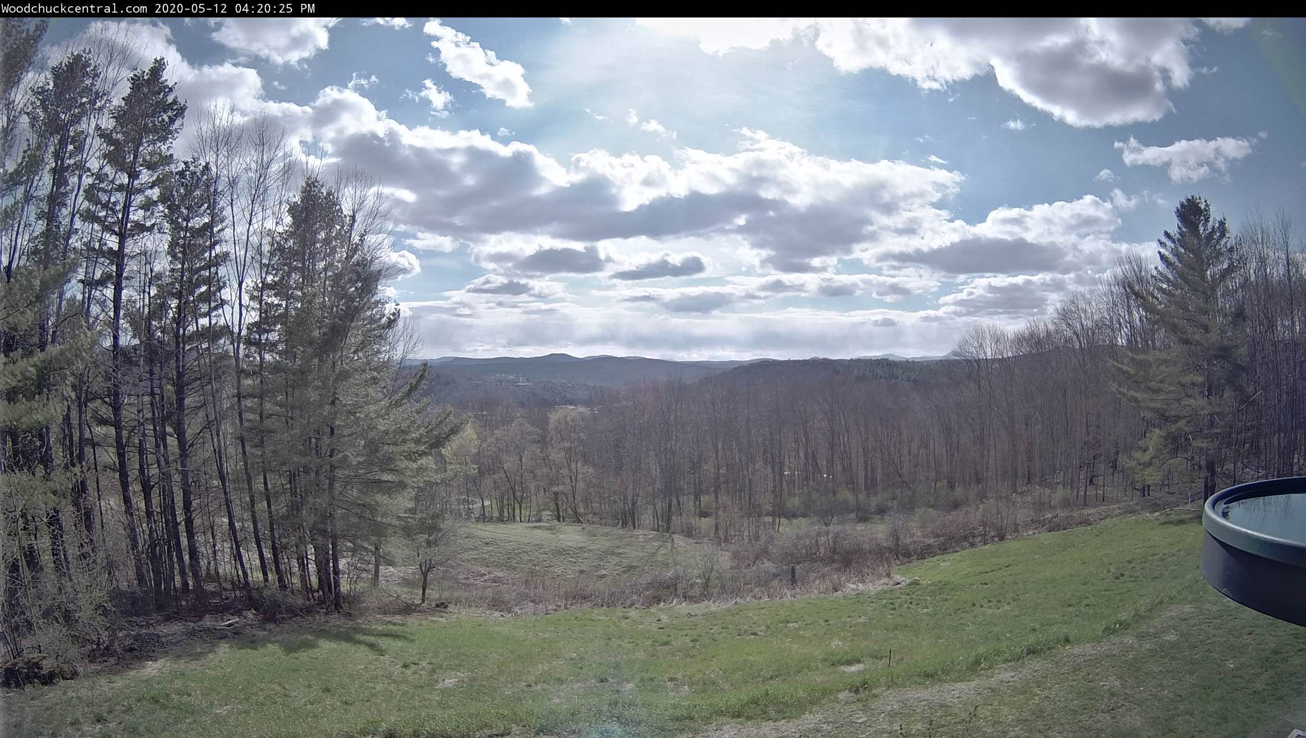
TOMORROW: Morning sun mixing with more clouds. A high near 50 with the start of a warming trend. Northwest winds 10 to 20 mph.
WESNESDAY NIGHT: Clear and chilly A low around 30. Light west breeze.
THURSDAY: Sunshine, becoming filtered by high clouds, thickening up clouds late. A high 55 to 60. West breeze 10 mph.
Looking further ahead…
THURSDAY NIGHT: Overcast. Rising chance for rain showers after midnight. A low around 45.
FRIDAY: Lots of clouds. Chance for rain showers…moderate at times…maybe a rumble of thunder southern areas. A high 60 to 65.
SATURDAY: Partly to mostly sunny. A low around 45. A high around 60.
SUNDAY: Morning sun then clouding up in the afternoon with a rising chance for rain showers. Risk for thunder late. A low near 40. A high in the mid-60s.
MONDAY: Chance for morning rain showers, then partial afternoon clearing. A low around 45. A high around 55.
Average lows upper-30s to mid-40s, average highs mid to upper 60s.
RH/5-12[end]
