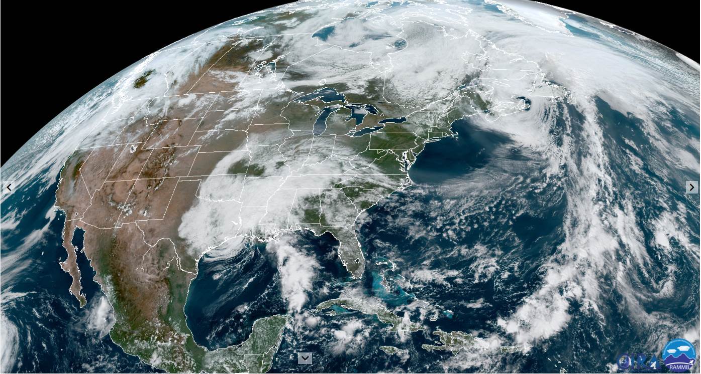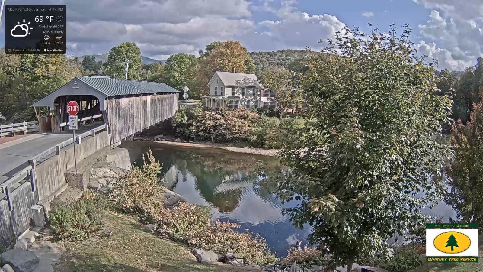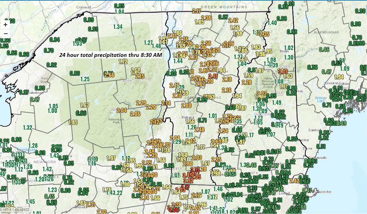
Updated Wednesday Morning Forecast — September 30th, 2020

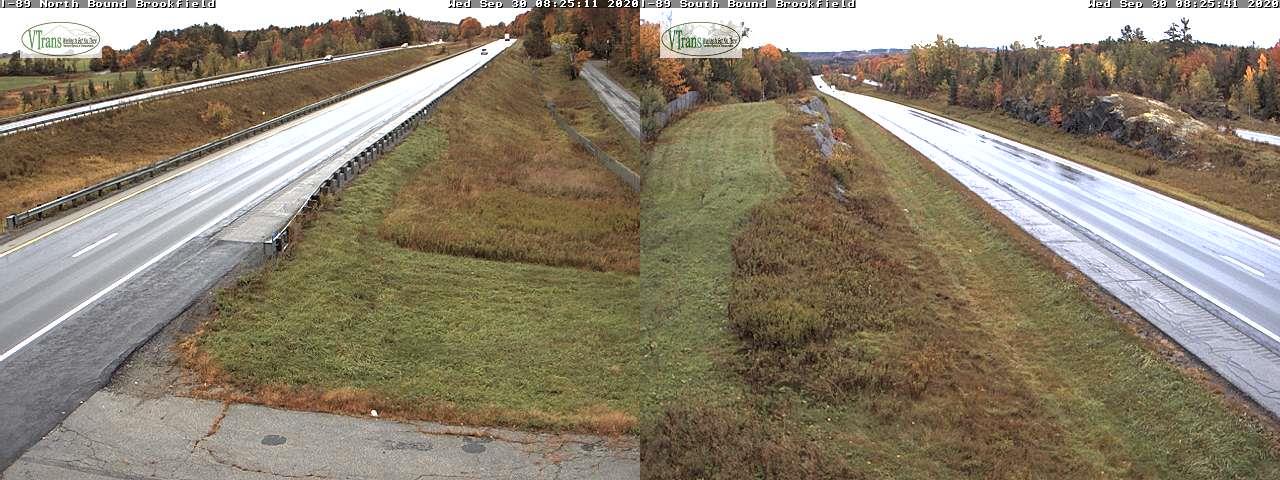
TODAY: Rain…moderate to heavy for a time through about 8 AM…before tapering to scattered light showers mid to late morning…exiting to periods of afternoon sun. A high in the lower 60s. Southwest breeze 10 to 20 mph.

TONIGHT: Partly cloudy. Patchy valley fog. A low near 50. South winds 10 mph.

THURSDAY: Partly sunny after morning fog. Isolated showers Champlain valley. A high 60 to 65. Winds southwest 10 to 20 mph in the afternoon.

Looking further ahead…

Full Harvest Moon 10:05 PM

THURSDAY NIGHT: Clear and “Fully moonlit” before more clouds overnight. A low around 45.
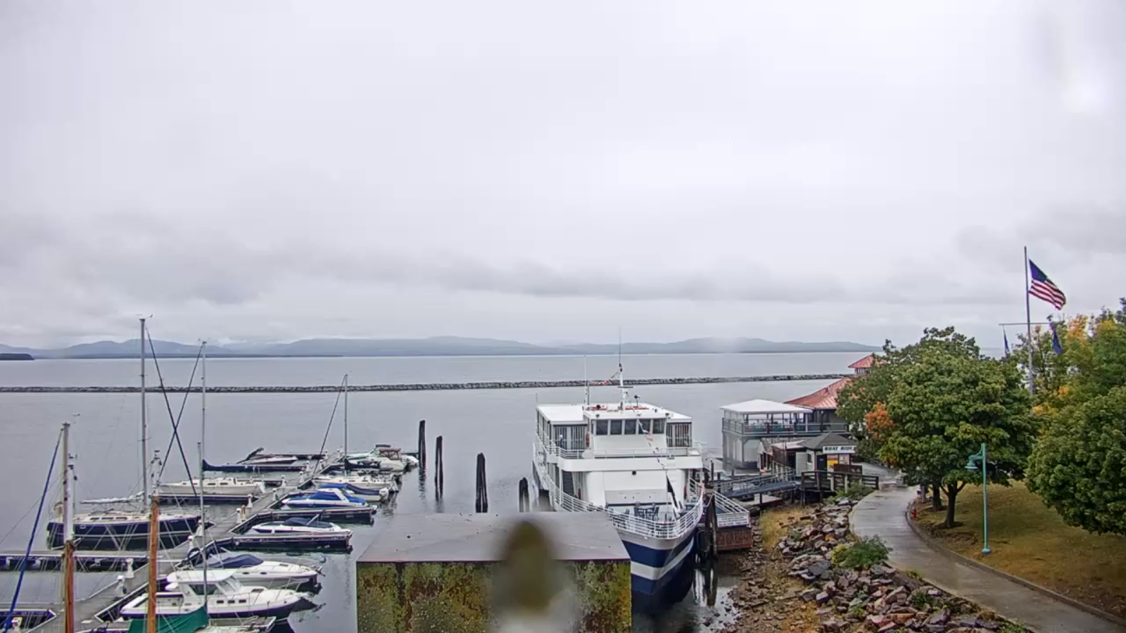
FRIDAY: Cloudy. Showers likely, possibly moderate at times in the afternoon. A high in the mid-50s.

SATURDAY: Partly to mostly cloudy. Slight chance for a shower. Continued chilly. A low around 40. A high around 55.

SUNDAY: Mixed clouds with intervals of sun. Maybe a shower late. A low 35 to 40. A high upper 50s to near 60.

MONDAY: Partly sunny in the morning then increasing clouds. Chance for showers. A low near 40. A high around 60.

Average low 40 to 45, Average highs in the upper 50s to mid-60s.
RH/9-30 category forecast][end]
Updated Tuesday Evening Forecast — September 29th, 2020

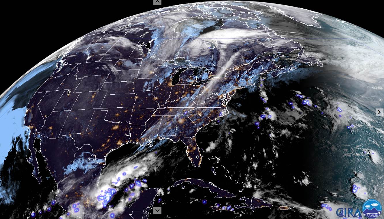
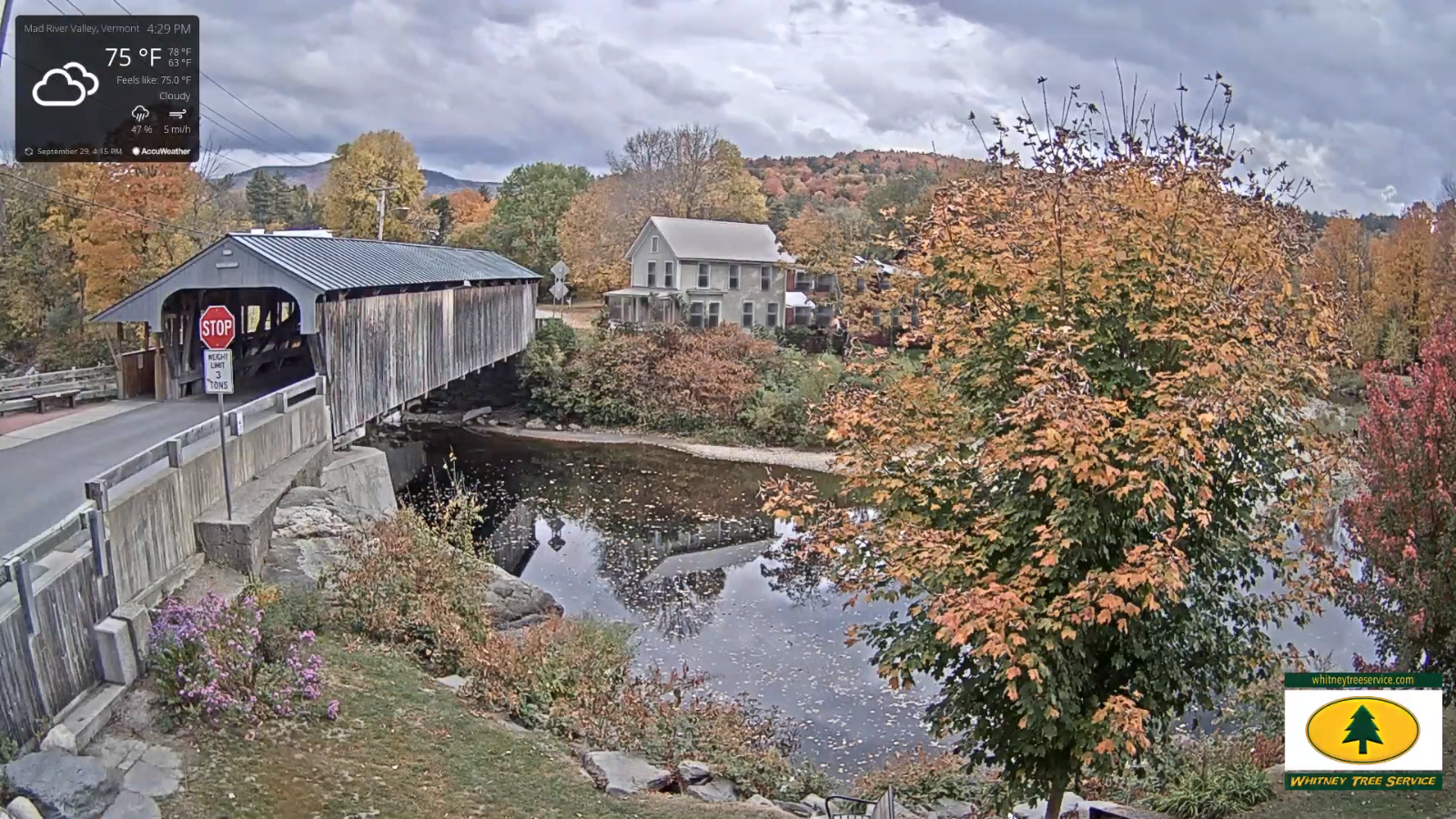
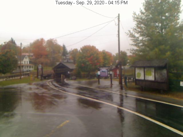
TONIGHT: Overcast. Showers developing early…blending into a periods of rain moderate to heavy at times overnight. Cooler toward daybreak. A low 50 to 55. Variable winds become west to southwesterly 10 to 20 mph with stronger gust toward New Hampshire.

TOMORROW: Rain…moderate to heavy for a time in the morning…before exiting with periods of afternoon sun. A high in the lower 60s. Southwest breeze 10 to 20 mph.

WEDNESDAY NIGHT: Mostly clear to partly cloudy. Patchy valley fog. A low near 50. South winds 10 mph.

THURSDAY: Partly sunny after morning fog. Isolated showers Champlain valley. A high 60 to 65. Winds southwest 10 to 20 mph in the afternoon.

Looking further ahead…

Full Harvest Moon 10:05 PM

THURSDAY NIGHT: Clear and “Fully moonlit” before more clouds overnight A low around 40 to 45.

FRIDAY: Lots of clouds. Chance for showers, possibly moderate at times in the afternoon. A high 50 to 55.

SATURDAY: Partly sunny after some morning clouds, but cool. A low in the low 40s. A high around 55.

SUNDAY: Sunshine gives way to cloudy periods in the afternoon. Maybe a shower late. A low in the mid-30s. A high pushing to near 60.

Average low 40 to 45, Average highs in the upper 50s to mid-60s.

RH/9-28 category forecast][end]
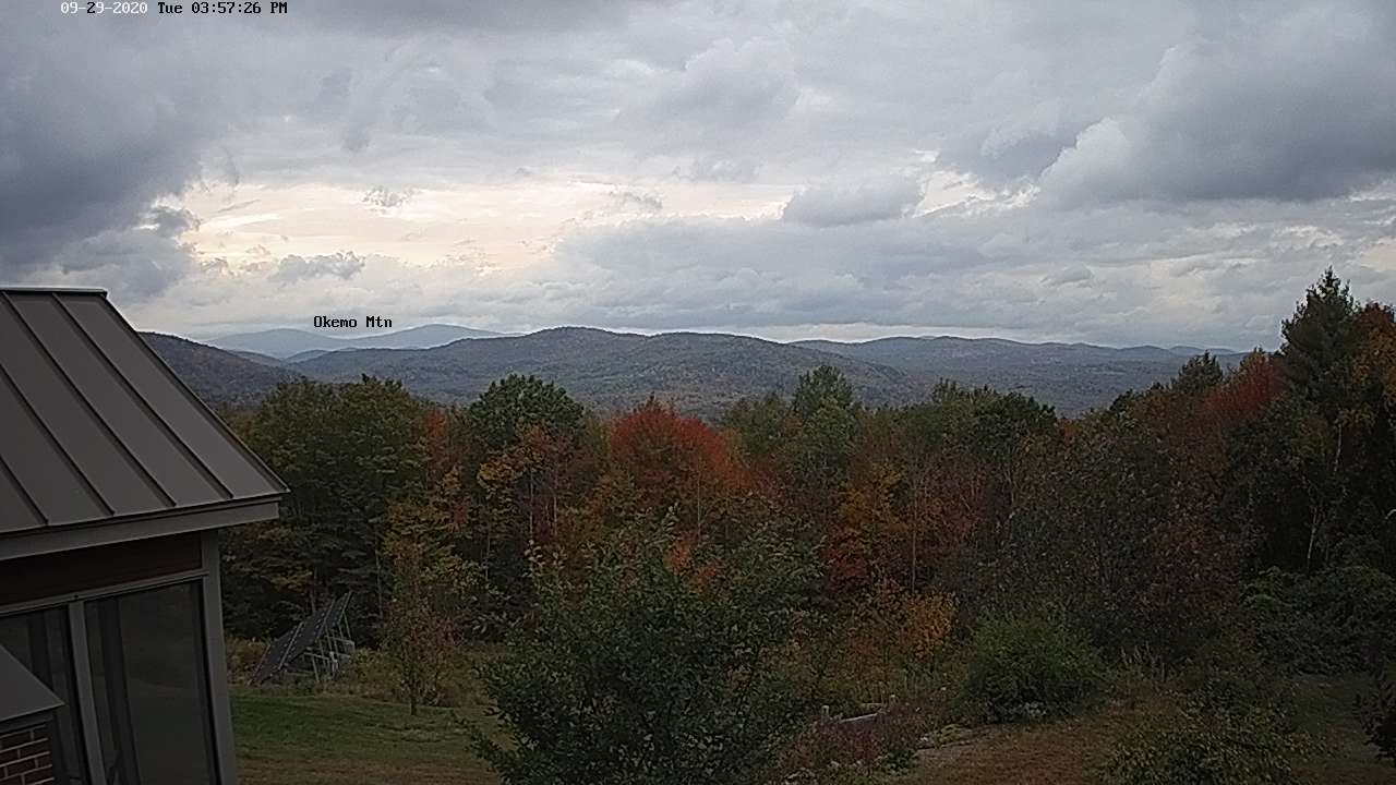
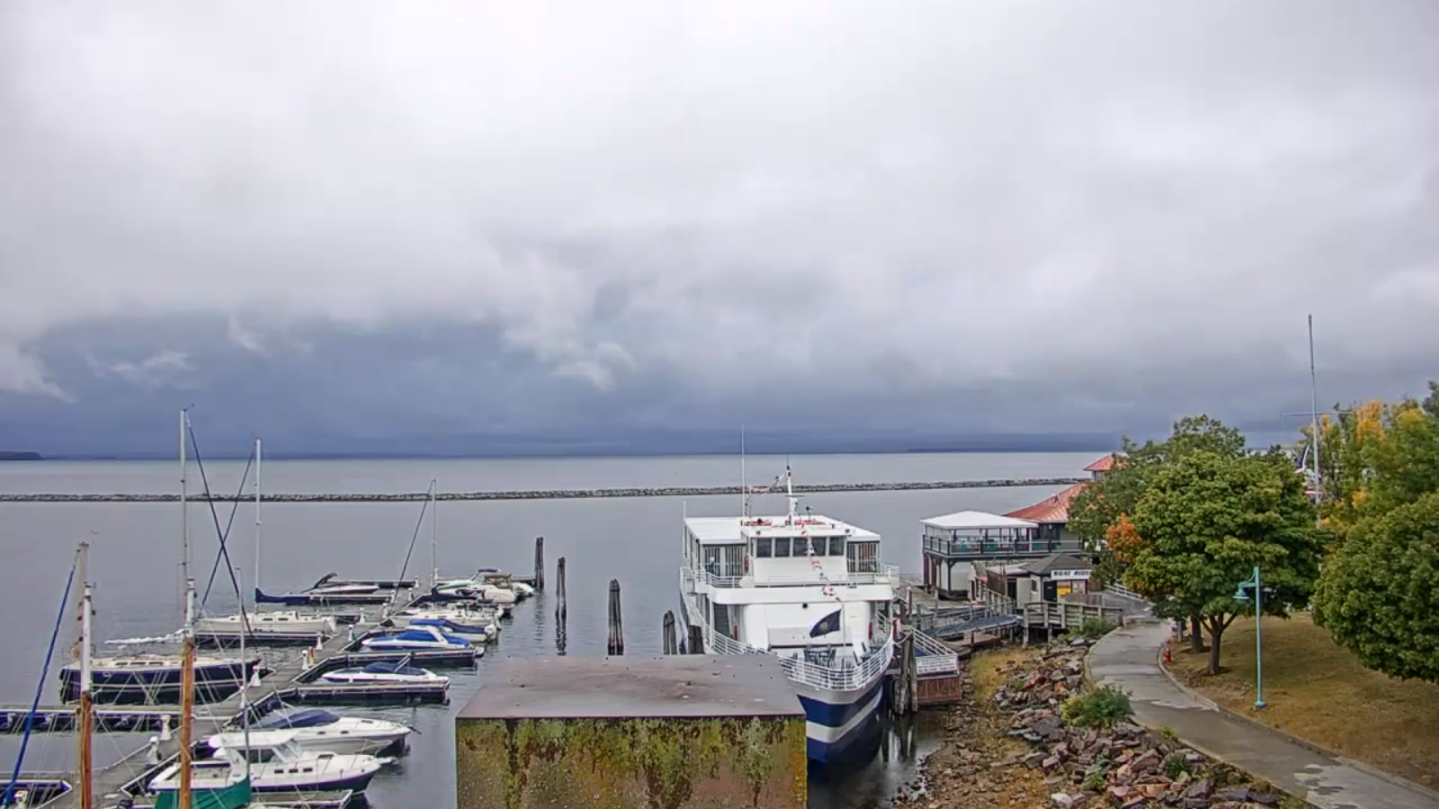
Updated Tuesday Morning Forecast — September 29th, 2020

TODAY: Clouds mixed with periods of sunshine this morning & dry. Turning gray this afternoon, & continued rather muggy. Scattered showers developing becoming numerous late. A high in the upper 70s to near 80. Southwest breeze 10 to 25 mph becoming light and westerly late.

TONIGHT: Overcast. Periods of intermittent rain, becoming moderate to heavy for a time overnight. Maybe a rumble of thunder. Cooler toward daybreak. A low 50 to 55. Light & variable winds

WEDNESDAY: Rain…moderate to heavy for a time early…tapers to showers before exiting with partial afternoon sun. A high around 65. Southeasterly breeze 10 to 15 mph.

Looking further ahead…

WEDNESDAY NIGHT: Mostly clear in the evening…becoming partly cloudy overnight. Patchy valley fog. A low in the upper 40s.

THURSDAY: Mixed sunshine and clouds after morning fog. Isolated afternoon showers northwestern areas. A high 60 to 65.

FRIDAY: Lots of clouds. Chance for showers, possibly moderate at times in the afternoon. A low around 40. A high 50 to 55.

SATURDAY: Partly to mostly sunny, but chilly. A low in the mid-40s. A high around 55.

SUNDAY: Sunshine gives way to cloudy periods in the afternoon. Maybe a shower late. A low near 35. A high 55 to 60.

Average low 40 to 45, Average highs in the upper 50s to mid-60s.

RH/9-28 category forecast][end]
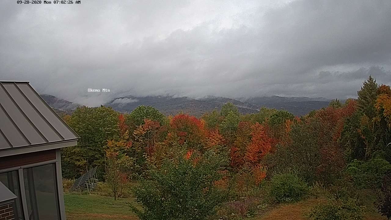
Updated Monday Evening Forecast — September 28th, 2020

TONIGHT: Scattered clouds this evening, becoming cloudy overnight. Continued humid. A low in the lower 60s. South winds 10 mph.

TOMORROW: Considerable cloudiness & continued humid. Showers developing in the afternoon…moderate at times Champlain valley. A high in the mid to upper 70s. Southwest breeze 10 to 25 mph becoming light and westerly late.

TUESDAY NIGHT: Overcast. Periods of intermittent rain, moderate to heavy for a time overnight. Cooler. A low 50 to 55. Light & variable winds

WEDNESDAY: Intermittent rain moderate to heavy for a time in the morning with a rumble of thunder. Rain…tapers to showers and becomes partly sunny in the afternoon. A high around 65. Southeasterly breeze 10 to 15 mph.

Looking further ahead…

WEDNESDAY NIGHT: Mostly clear in the evening…becoming partly cloudy overnight. Patchy valley fog. A low in the upper 40s.

THURSDAY: Mixed sunshine and clouds after morning fog. Isolated afternoon showers northwestern areas. A high 60 to 65.

FRIDAY: Lots of clouds. Chance for showers before mid-day, possibly moderate at times eastern areas. A low around 40. A high 50 to 55.

SATURDAY: Partly to mostly sunny & chilly. A low in the mid-40s. A high around 55.

SUNDAY: Sunshine gives way to cloudy periods in the afternoon. A low near 35. A high 55 to 60.

Average low 40 to 45, Average highs in the upper 50s to mid-60s.

RH/9-28 category forecast][end]
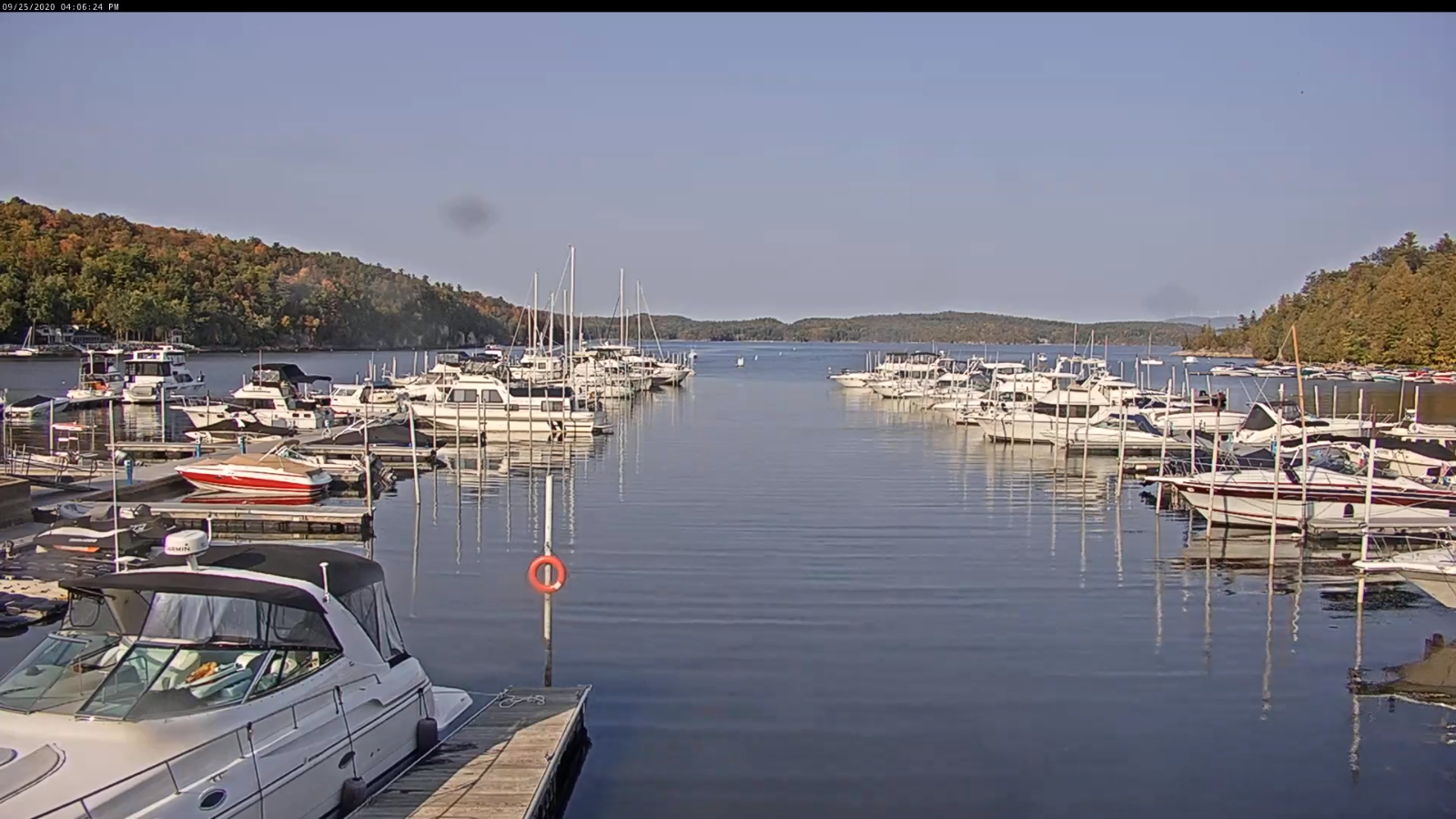
Updated Monday morning Forecast — September 28th, 2020

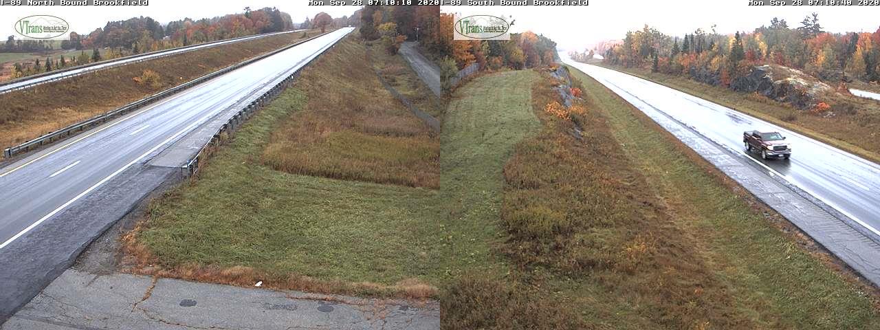
TODAY: Considerable clouds & rather muggy. Widely scattered showers, mainly this morning. Intervals of sunshine away from the mountain late. A high in the mid to upper 70s. South to southeast winds 10 to 20 mph.

TONIGHT: Partly cloudy this evening then more clouds overnight. Continued humid. A low around 60. South winds 10 mph.

TUESDAY: Mainly cloudy & continued humid. A rising chance for showers…possibly moderate at times northern western areas later on. A high in the upper 70s. South to southwest winds 10 to 25 mph with few higher gusts northern areas.

Looking further ahead…

TUESDAY NIGHT: Overcast. Periods of intermittent rain likely, possibly moderate for a time. Cooler. A low in the low to mid 50s.

WEDNESDAY: Cloudy and gray. Occasional showers or intermittent rain. A high around 65.

THURSDAY: Mixed sunshine and clouds after morning fog. Chance for a leftover shower. A low near 45. A high 60 to 65.

FRIDAY: Clouds with a few breaks of sun. A low around 40. A high in the mid-50s.

Average low 40 to 45, Average highs in the upper 50s to mid-60s.

RH/9-28 category forecast][end]
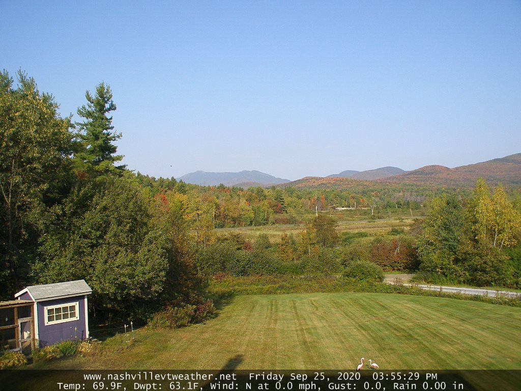
Updated Friday Evening Forecast — September 25th, 2020

TONIGHT: Mostly clear. Patchy valley fog. A low 50 to 55. Light south winds.

TOMORROW: Sunshine…mixed with high cloudiness in the afternoon. Warmer. A high upper 70s to near 80. South winds 10 mph.

SATURDAY NIGHT: Variable clouds.Isolated valley fog.A low around 55. Light south winds.

SUNDAY: Cloudy periods after some morning sunshine. Warm and a bit muggy. A high upper 70s to around 80. Southwest breeze 10 to 20 mph.

Looking further ahead…

SUNDAY NIGHT: Mostly cloudy. Muggy. A low in the lower 60s.

MONDAY: Mostly cloudy and rather muggy. Chance for a passing shower. A high in the mid to upper 70s.

TUESDAY: Sunshine mixed with afternoon clouds. Slight chance for a shower. Still a bit humid. A low near 60. A high 75 to 80.

WEDNESDAY: A chance for showers in the morning exiting in the afternoon to increasing sunshine. A low in the mid-50s. A high in the upper 60s.

Average lows in the low to mid 40s, Average highs in the low to mid 60s.

RH/9-25 category forecast][end]
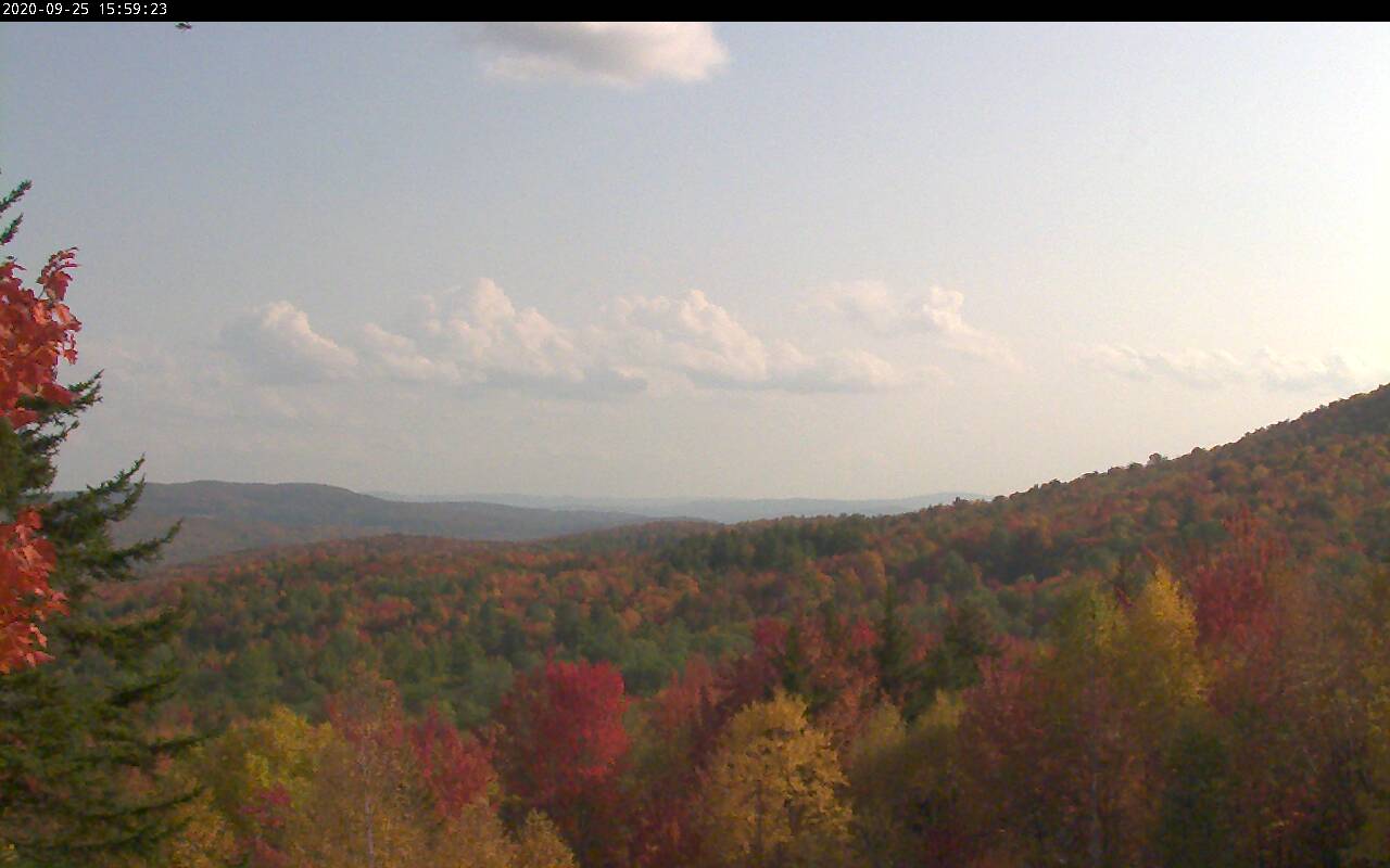
Updated Friday Morning forecast — September 25th, 2020

TODAY: Areas of fog burns off to partly sunny skies. A sprinkle or two Barre-Montpelier area north. A high near 75. Light southwest winds.

TONIGHT: Mostly clear. Patchy valley fog. A low 50 to 55. Light southeast winds.

SATURDAY: Sunshine…mixed with high cloudiness in the afternoon. Warmer. A high upper 70s to near 80. South to southwest winds 10 mph.

Looking further ahead…

SATURDAY NIGHT: Variable clouds.Isolated valley fog.A low around 55.

SUNDAY: Filtered sunshine thru high cloudiness. Warm and a bit muggy. A high upper 70s to around 80.

MONDAY: Mostly cloudy and rather muggy. Chance for a passing shower. A low 55 to 60. A high in the upper 70s to around 80.

TUESDAY: Sunshine mixed with afternoon clouds. Slight chance for a shower. Still a bit humid. A low near 60. A high upper 70s to around 80.

WEDNESDAY: A chance for showers in the morning exiting in the afternoon to increasing sunshine. A low 55 to 60. A high 70 to 75.

Average lows in the low to mid 40s, Average highs in the low to mid 60s.

RH/9-25 category forecast][end]
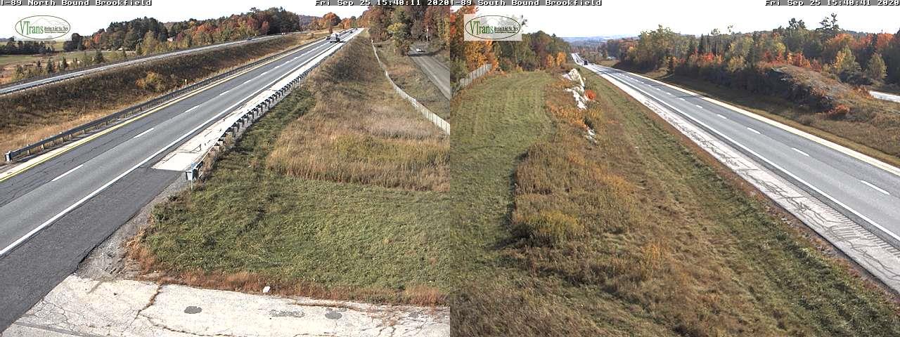
Updated Thursday Evening Forecast — September 24th, 2020

TONIGHT: Partly cloudy. Isolated valley fog. A low upper 40s to around 50. Little wind.

TOMORROW: Clouds mixed with sunny periods. A sprinkle or two near the central Green Mountains. Mild with a high 70 to 75. Light southwest winds.

FRIDAY NIGHT: Partly cloudy. Isolated valley fog. A low 50 to 55. Light southeast winds.

SATURDAY: Sunshine…filtered by high clouds in the afternoon. Warmer. A high upper 70s to near 80. Southwest winds 10 mph.

Looking further ahead…

SATURDAY NIGHT: Lots of clouds.A low around 55.

SUNDAY: Sun mixed with cloudy periods. Warm and a bit muggy. A high around 80.

MONDAY: More clouds than sun. Isolated showers possible. A low near 55. A high in the upper 70s.

TUESDAY: sunshine mixed with afternoon clouds. Widely scattered showers. A low near 60. A high 75 to 80.

Average lows in the low to mid 40s, Average highs around 65.

RH/9-24 category forecast][end]
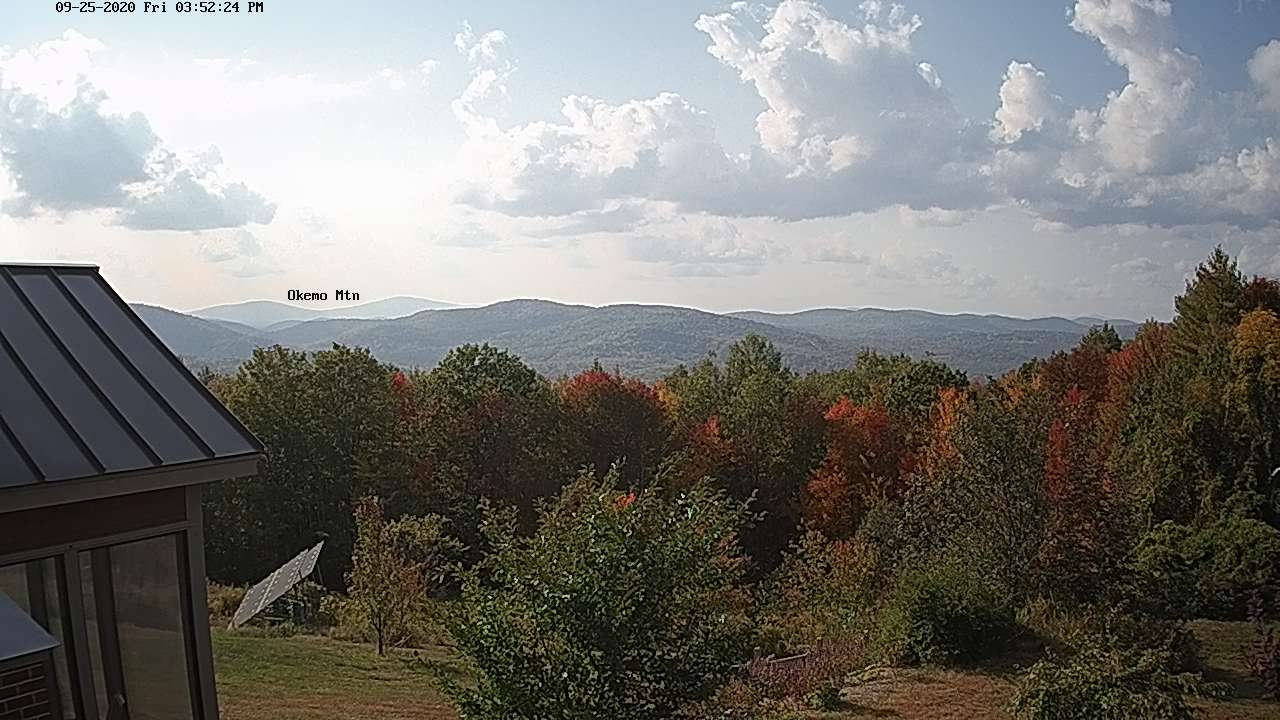
Updated Thursday Morning Forecast — September 24th, 2020

TODAY: Partial morning sun after any fog burns off, then a few cloudy periods. Isolated northern mountain sprinkles. A high in the low 70s. Southwest breeze becomes westerly 10 mph.

TONIGHT: Partly cloudy. Isolated valley fog. A low upper 40s to around 50. Little wind.

FRIDAY: Clouds and sun. Maybe a sprinkle or two northern areas. Mild with high in the low to mid 70s. Light southwest winds.

Looking further ahead…

FRIDAY NIGHT: Partly cloudy. Isolated valley fog. A low 50 to 55.

SATURDAY: Sunshine…becoming filtered by high clouds late. Warmer. A high upper 70s to near 80.

SUNDAY: Sunshine gives way to more cloudiness northern areas. A low around 55. A high around 80.

MONDAY: Mixed clouds and sun. A low near 55. A high 75 to 80.

TUESDAY: More clouds than sunshine. Chance for showers. A low near 60. A high around 80.

Average lows in the low to mid 40s, Average highs around 65.

RH/9-23 category forecast][end]
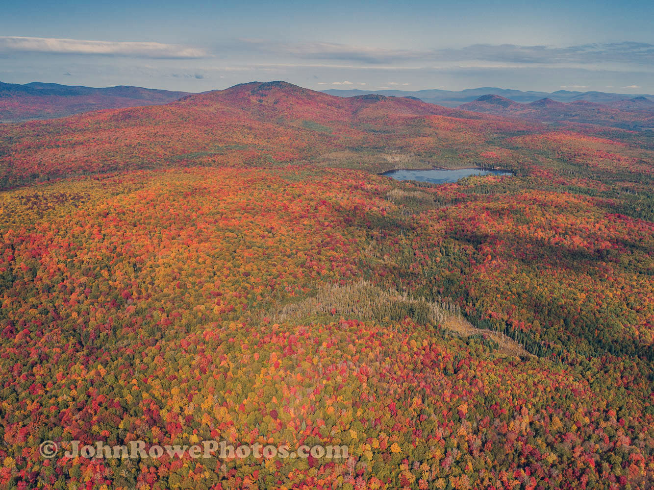
Updated Wednesday Evening Forecast — September 23rd, 2020

TONIGHT: An Isolated evening sprinkle northern areas, otherwise scattered clouds. A low mid to upper 40s. Light west winds.

TOMORROW: Partial morning sun, then mostly cloudy & breezy. Maybe a northern mountain sprinkle. A high in the low 70s. Southwest breeze becomes westerly 10 mph.

THURSDAY NIGHT: Scattered clouds evening clouds. Mostly cloudy overnight with a sprinkle or two toward daybreak. A low upper 40s to around 50. Little wind.

FRIDAY: Clouds and sun. Maybe a sprinkle or two. Mild. A high around 75. Light southwest winds.

Looking further ahead…

FRIDAY NIGHT: Partly cloudy. A low 50 to 55.

SATURDAY: Sunshine…becoming filtered by high clouds late. Warmer. A high upper 70s to near 80.

SUNDAY: Sunshine gives way to thickening clouds northern areas. Chance for a brief shower Vermont/Quebec border. A low 55 to 60. A high near 80.

MONDAY: Mainly cloudy & breezy. Chance for showers, possibly moderate at times. A low near 55. A high near 65.

Average lows in the low to mid 40s, Average highs around 65.

RH/9-22 category forecast][end]