

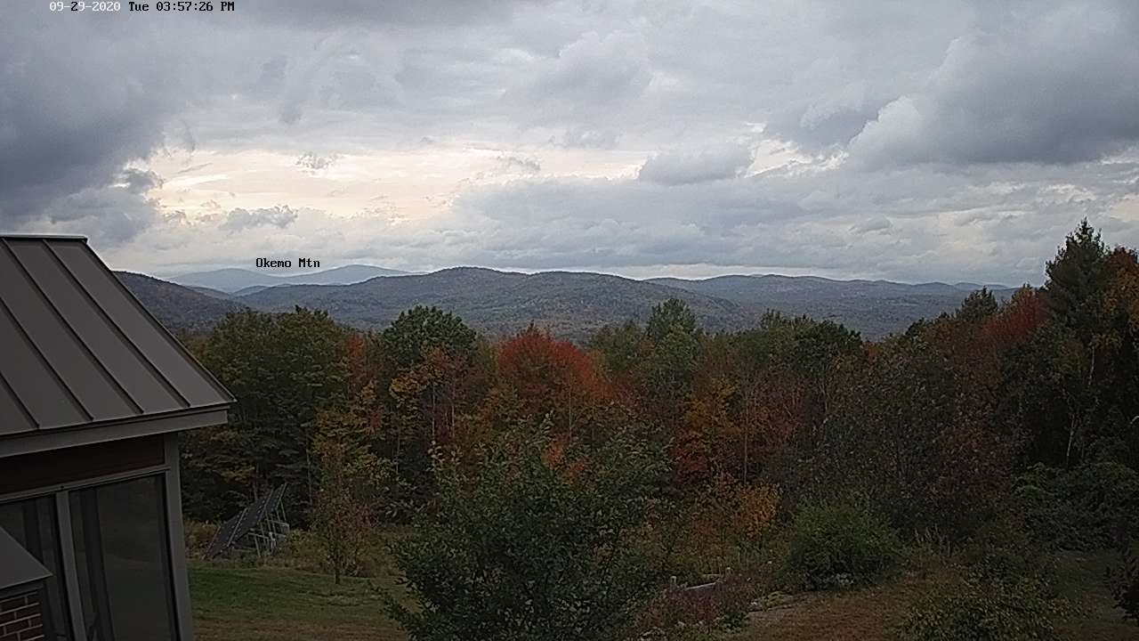
TONIGHT: Overcast. Showers developing early…blending into a periods of rain moderate to heavy at times overnight. Cooler toward daybreak. A low 50 to 55. Variable winds become west to southwesterly 10 to 20 mph with stronger gust toward New Hampshire.
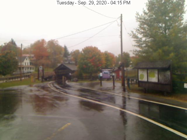
TOMORROW: Rain…moderate to heavy for a time in the morning…before exiting with periods of afternoon sun. A high in the lower 60s. Southwest breeze 10 to 20 mph.
WEDNESDAY NIGHT: Mostly clear to partly cloudy. Patchy valley fog. A low near 50. South winds 10 mph.
THURSDAY: Partly sunny after morning fog. Isolated showers Champlain valley. A high 60 to 65. Winds southwest 10 to 20 mph in the afternoon.
Looking further ahead…
Full Harvest Moon 10:05 PM
THURSDAY NIGHT: Clear and “Fully moonlit” before more clouds overnight A low around 40 to 45.
FRIDAY: Lots of clouds. Chance for showers, possibly moderate at times in the afternoon. A high 50 to 55.
SATURDAY: Partly sunny after some morning clouds, but cool. A low in the low 40s. A high around 55.
SUNDAY: Sunshine gives way to cloudy periods in the afternoon. Maybe a shower late. A low in the mid-30s. A high pushing to near 60.
Average low 40 to 45, Average highs in the upper 50s to mid-60s.
RH/9-28 category forecast][end]
