
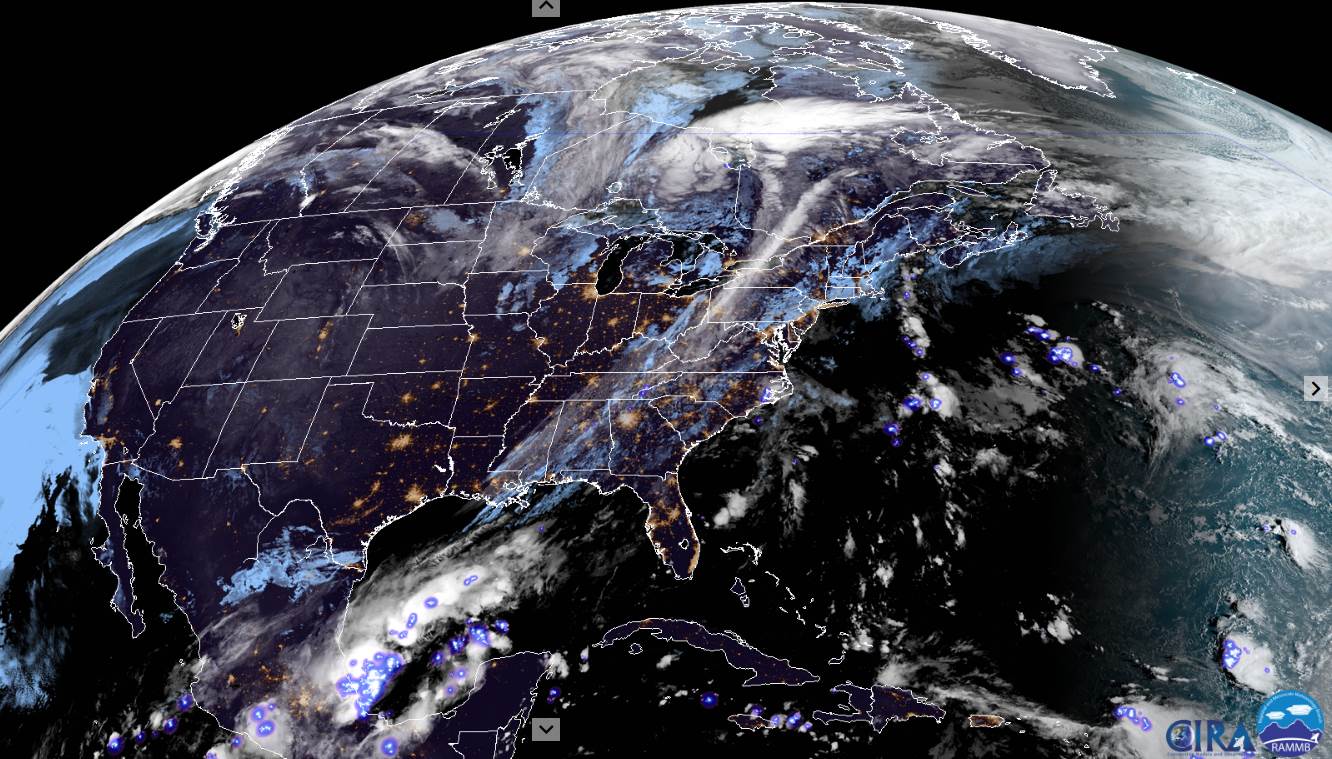
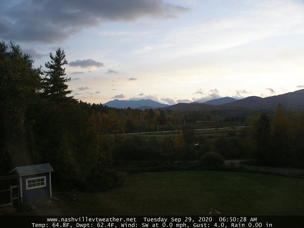
TODAY: Clouds mixed with periods of sunshine this morning & dry. Turning gray this afternoon, & continued rather muggy. Scattered showers developing becoming numerous late. A high in the upper 70s to near 80. Southwest breeze 10 to 25 mph becoming light and westerly late.
TONIGHT: Overcast. Periods of intermittent rain, becoming moderate to heavy for a time overnight. Maybe a rumble of thunder. Cooler toward daybreak. A low 50 to 55. Light & variable winds
WEDNESDAY: Rain…moderate to heavy for a time early…tapers to showers before exiting with partial afternoon sun. A high around 65. Southeasterly breeze 10 to 15 mph.

Looking further ahead…
WEDNESDAY NIGHT: Mostly clear in the evening…becoming partly cloudy overnight. Patchy valley fog. A low in the upper 40s.
THURSDAY: Mixed sunshine and clouds after morning fog. Isolated afternoon showers northwestern areas. A high 60 to 65.
FRIDAY: Lots of clouds. Chance for showers, possibly moderate at times in the afternoon. A low around 40. A high 50 to 55.
SATURDAY: Partly to mostly sunny, but chilly. A low in the mid-40s. A high around 55.
SUNDAY: Sunshine gives way to cloudy periods in the afternoon. Maybe a shower late. A low near 35. A high 55 to 60.
Average low 40 to 45, Average highs in the upper 50s to mid-60s.
RH/9-28 category forecast][end]
