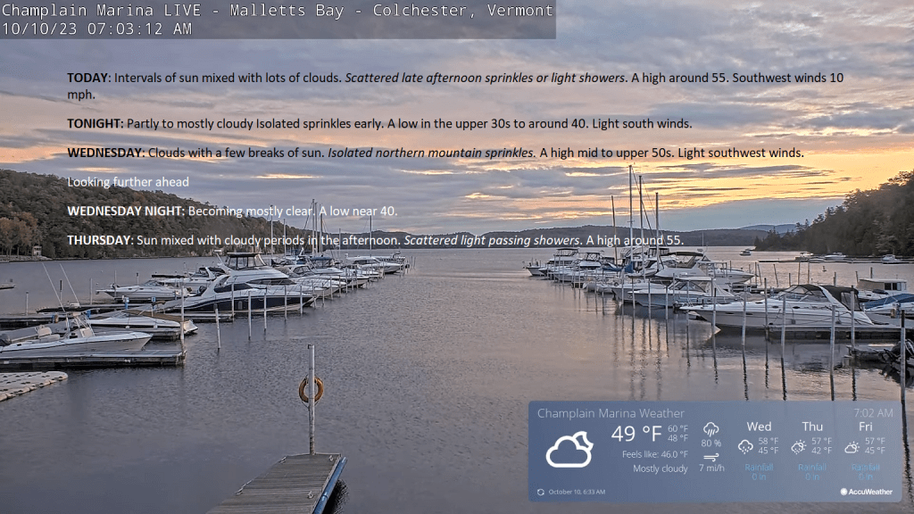
TODAY: Intervals of sun mixed with lots of clouds. Scattered late afternoon sprinkles or light showers. A high around 55. Southwest winds 10 mph.
TONIGHT: Partly to mostly cloudy Isolated sprinkles early. A low in the upper 30s to around 40. Light south winds.
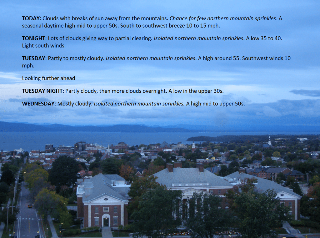
WEDNESDAY: Clouds with a few breaks of sun. Isolated northern mountain sprinkles. A high mid to upper 50s. Light southwest winds.
Looking further ahead
WEDNESDAY NIGHT: Becoming mostly clear.A low near 40.
THURSDAY: Sun mixed with cloudy periods in the afternoon. Scattered light passing showers. A high around 55.
FRIDAY: Brief morning sun, mixing with more clouds. A low 35 to 40 with isolated frost possible. A high in the mid-50s.
SATURDAY: High cloudiness thickening up in the afternoon. Rising chance for periods of rain or showers central and southern areas. A low in the 30s with pockets of frost. A high about 55.
SUNDAY: Mainly gray. Widely scattered showers. A low around 40. A high 50 to 55.
Average lows 35 to 40. Average highs 55 to 60.
RH/10-10 forecast][end]