Wind Chill Advisory thru 10 AM Friday morning.
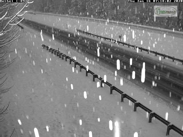
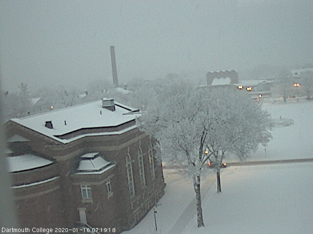
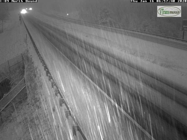
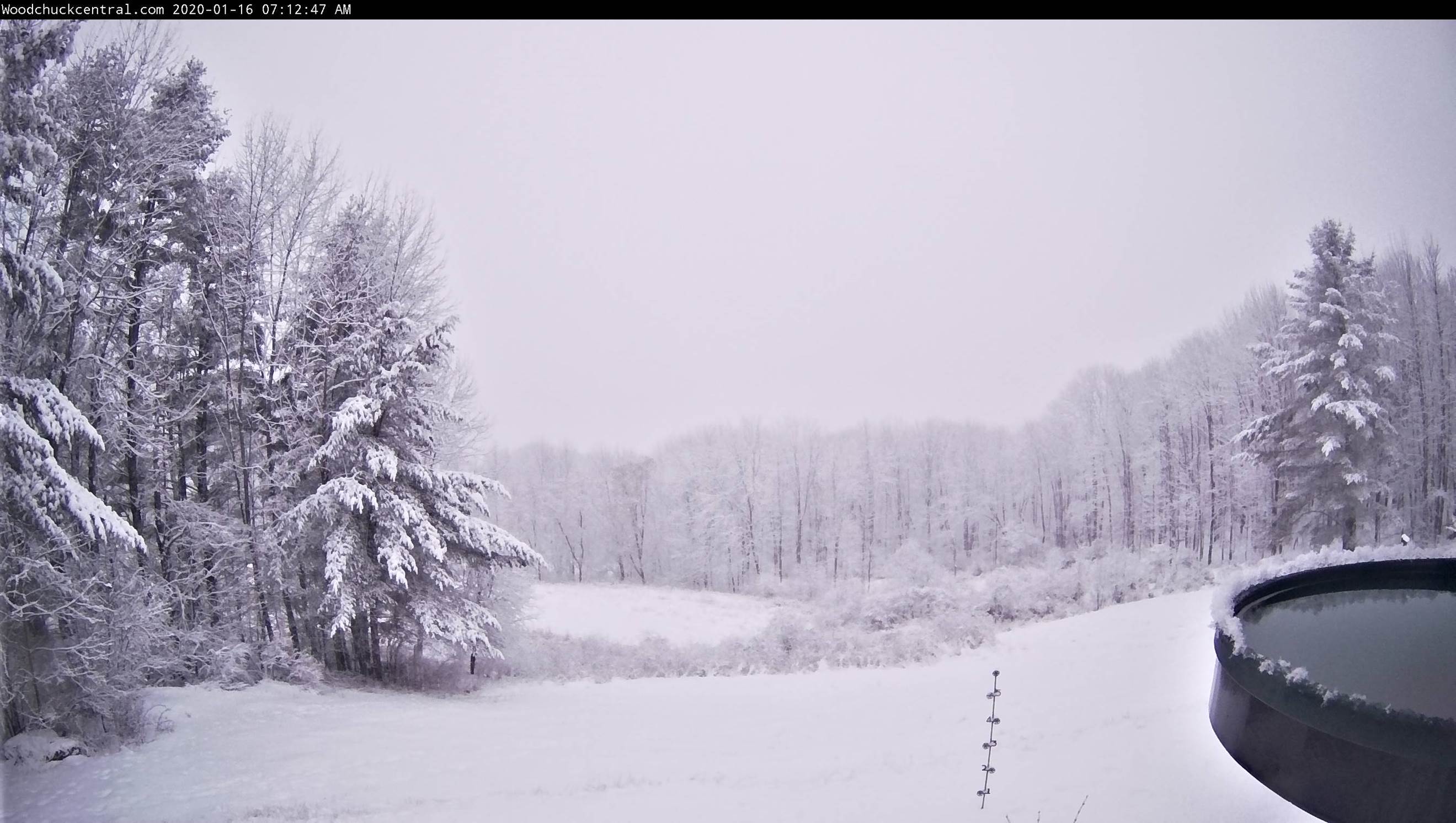
TODAY: Diamond dust, otherwise “arctic sunshine “with a high just 5 to 10 above. Northwest winds 10 mph lowering wind chills this morning gradually diminishing.
TONIGHT: Mostly clear in the evening then some high cloudiness. Frigid. A low ranging 5 to 20 below. Light northwest winds.
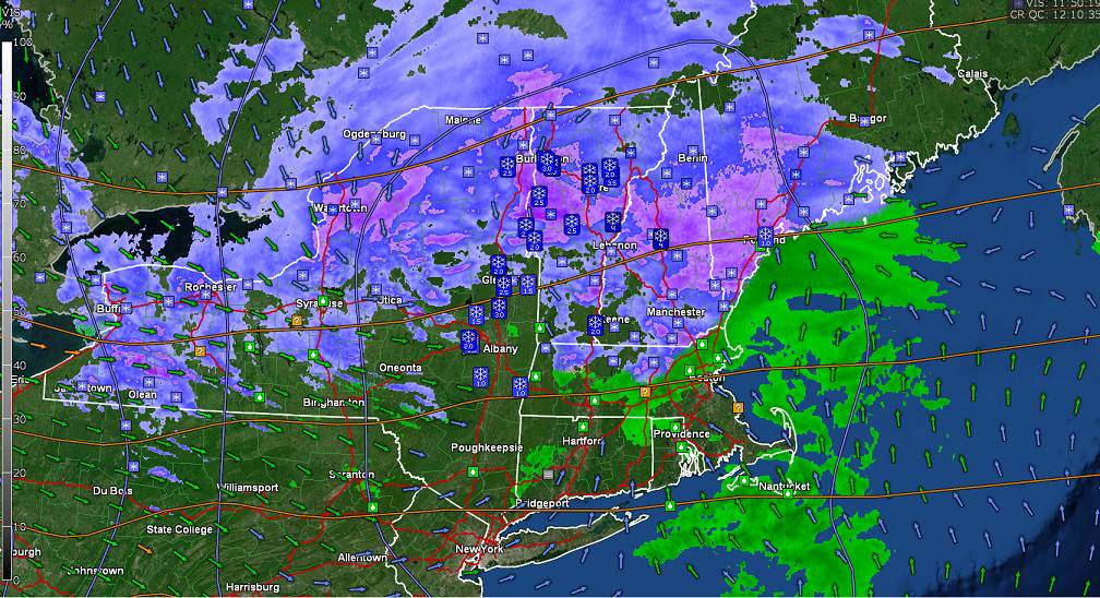
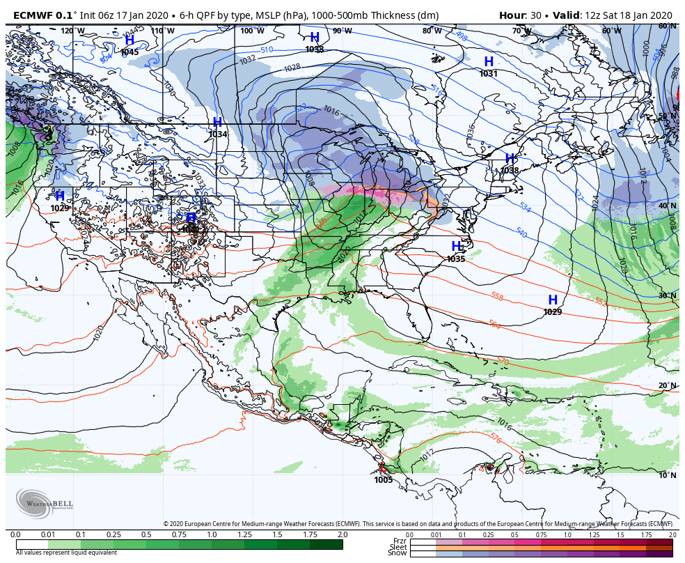
SATURDAY: Brief morning sunshine, then thickening clouds, leading to accumulating snow developing late. A high in the mid to upper teens. Light south winds.
Looking further ahead…
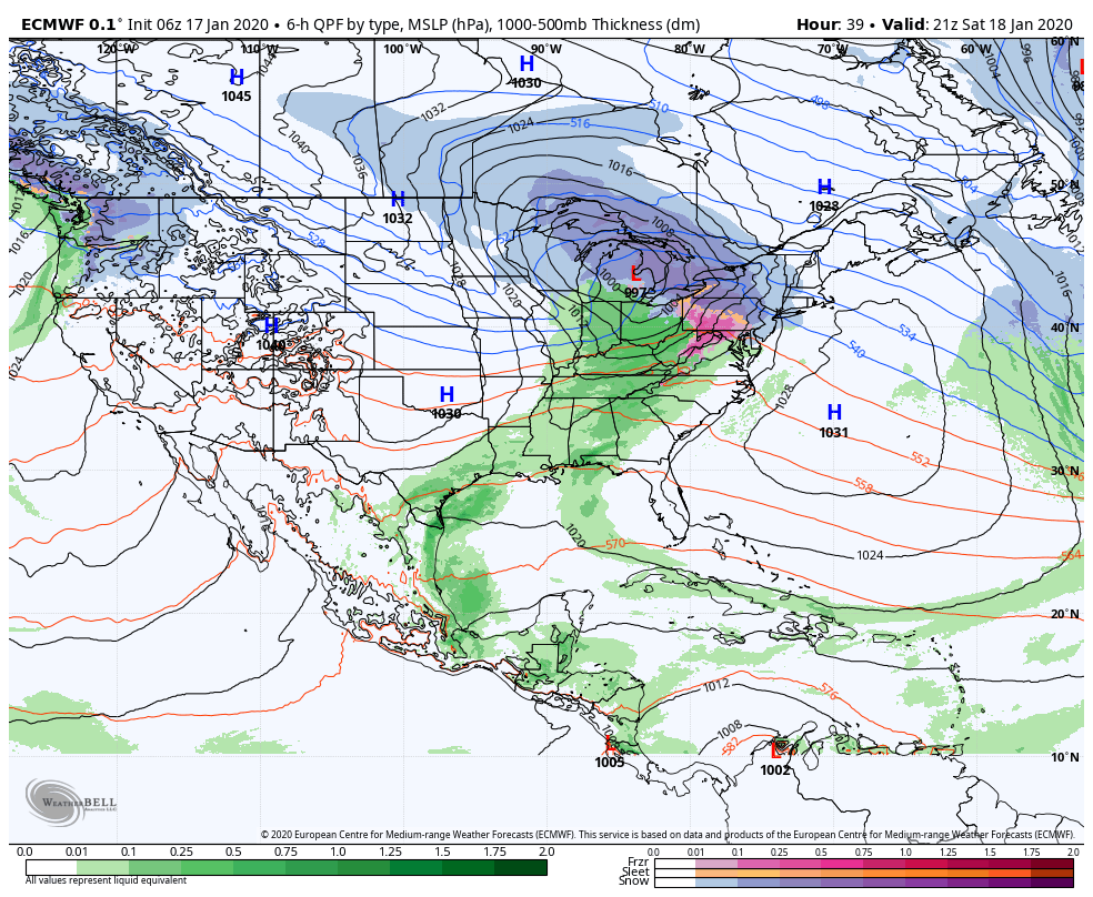
SATURDAY NIGHT: Cloudy. Accumulating snow likely. An early low near 15, then rising temperatures into the 20s.
SUNDAY: Gray. Chance for significant snowfall…tapering to mountain snow showers valley flurries and blustery. Temperatures rising 32 to 35.
MONDAY MARTIN LUTHER KING JR. DAY: Chance for a flurry early, then mostly sunny. A morning low in the single digits. A high mid to upper teens.
TUESDAY: Arctic sunshine. A low 10 to 15 below. A high 10 to 15 above.
WEDNESDAY: Mixed sun and clouds. A low in the single digits. A high in the 20s.
Average lows mid-single digits to 10 above, average highs in the 20s.
RH/1-16-20[end]