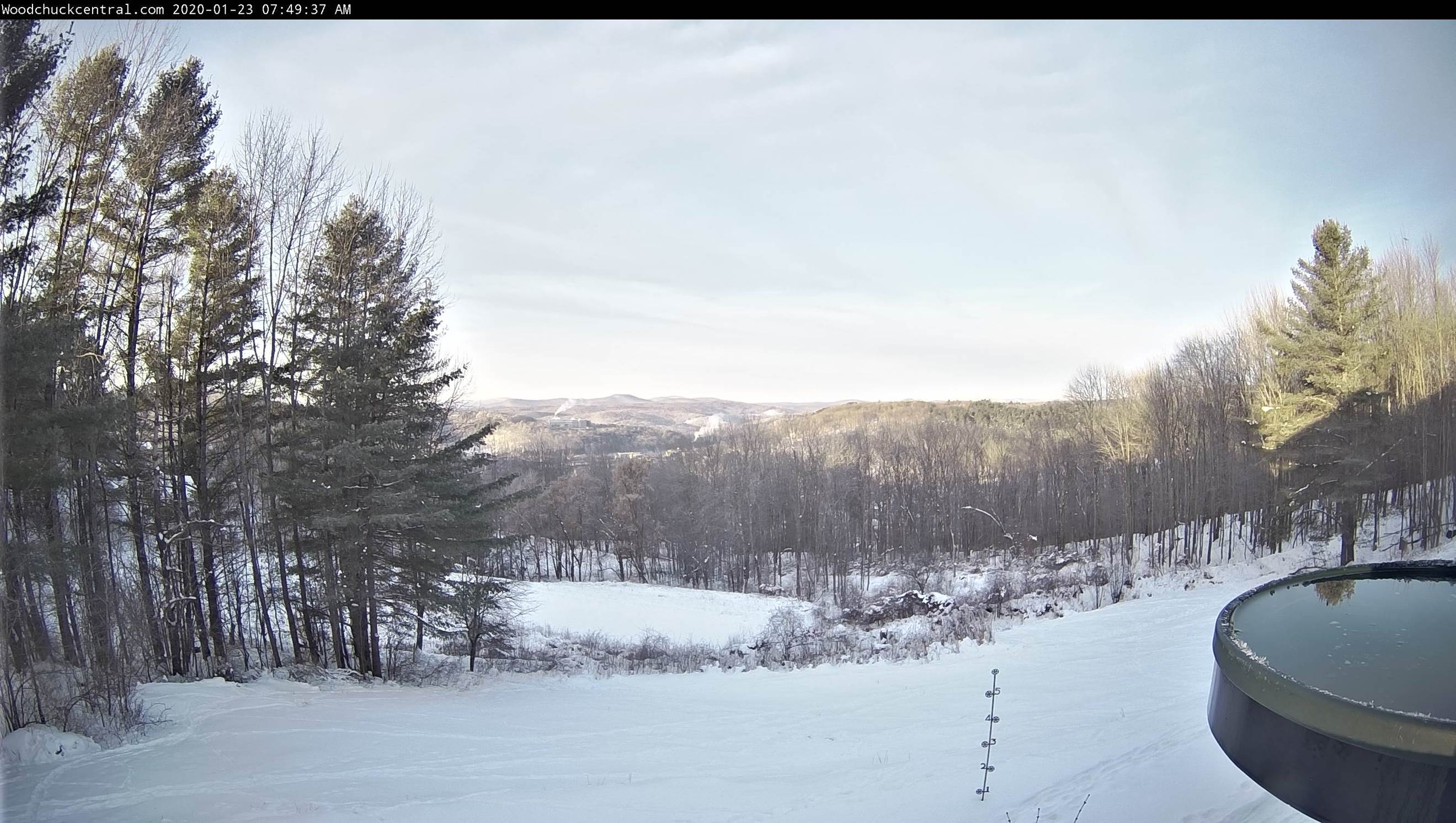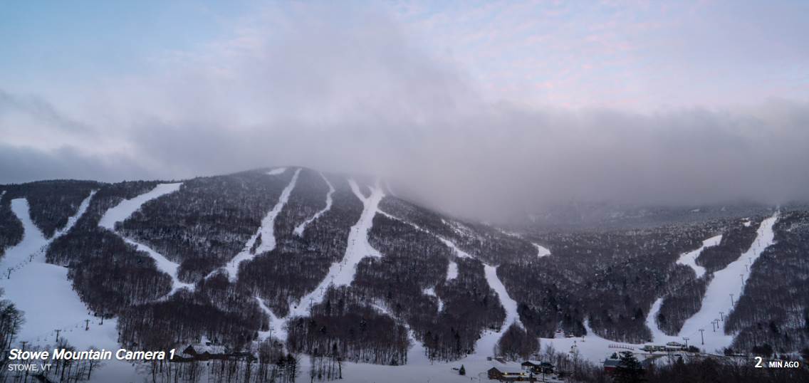
TONIGHT: Cloudy. Occasional mountain snow showers and valley flurries – a dusting to 2 inches. A low around 25. Light northwest winds.
TOMORROW: Mostly cloudy. Chance for lingering flurries near the Green Mountains with a skiff of accumulation. A high around 30. Northwest winds 10 mph.
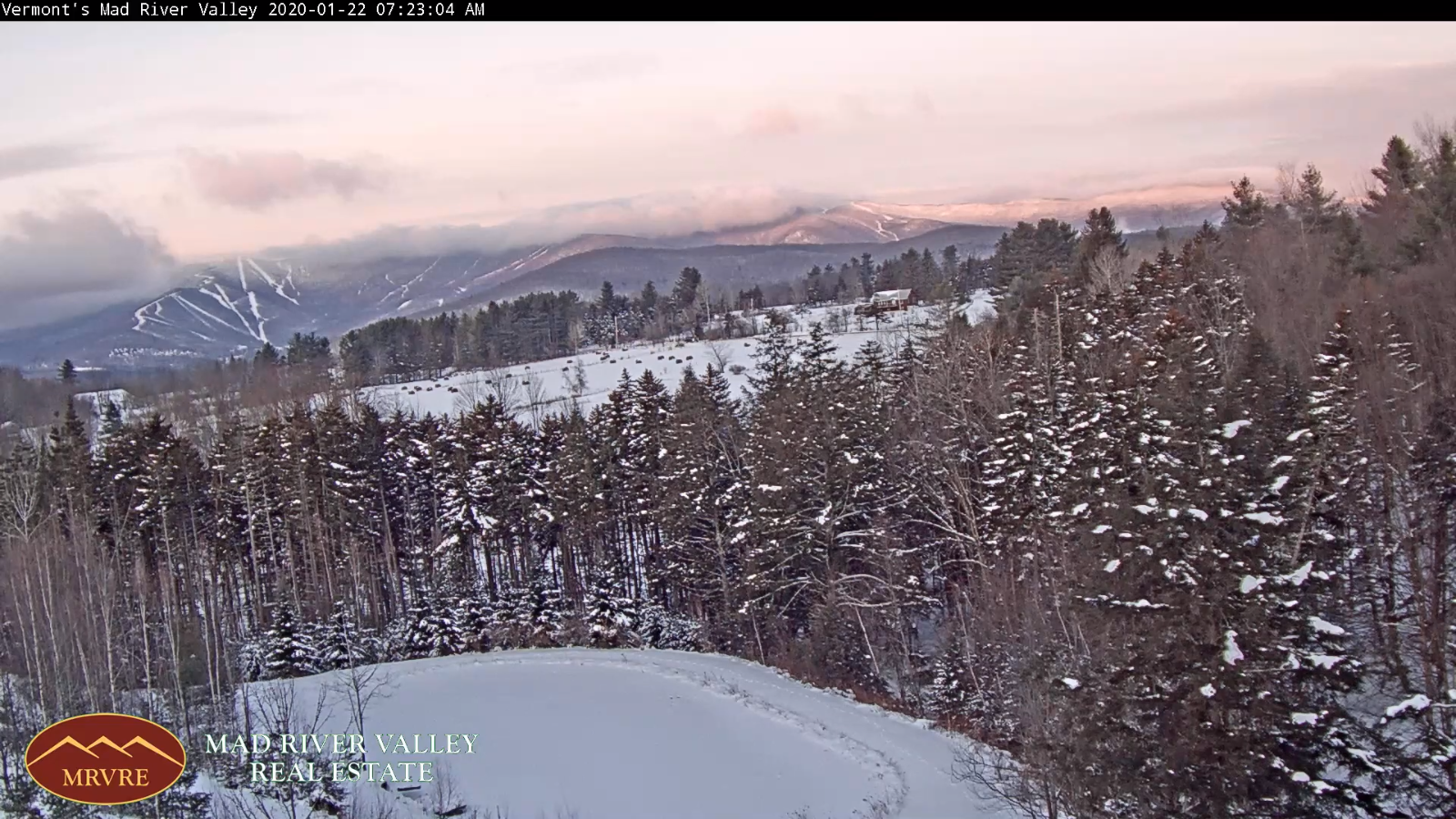
TUESDAY NIGHT: Scattered evening flurries, drying up overnight with little accumulation. Otherwise partly to mostly cloudy. A low around 10 degrees. Light northwest winds.
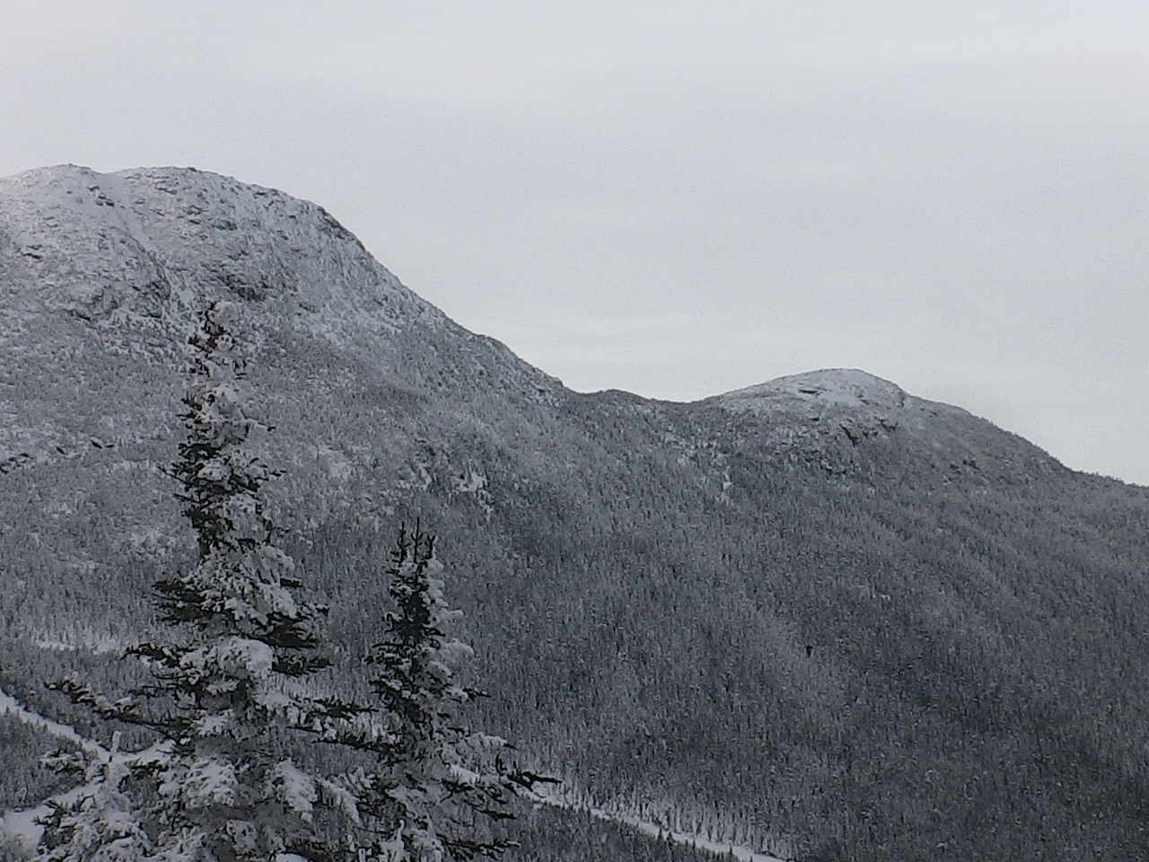
WEDNESDAY: Pick of the week. A beautiful winter day. Blue skies and bright sunshine. A high in the mid-20s. Northwest winds 10 mph.
Looking further ahead…
WEDNESDAY NIGHT: Clear skies and frigid. A low 5 above to 5 below.
THURSDAY: Sunshine gives way to high cloudiness in the afternoon. A high in the mid 20s.
FRIDAY: Considerable cloudiness. A low in the single digits. A high around 32.
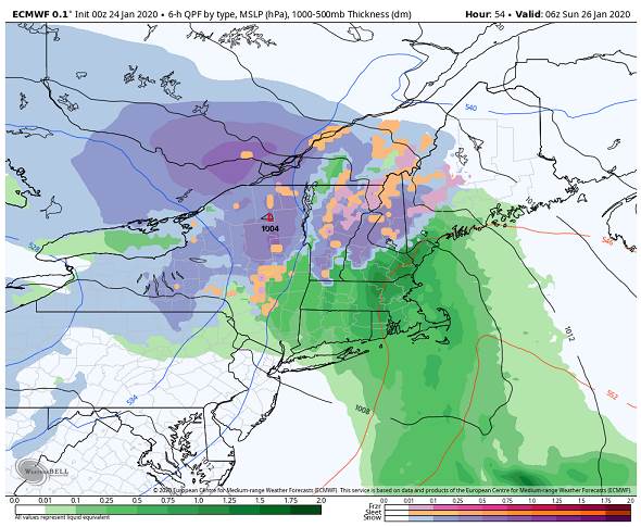
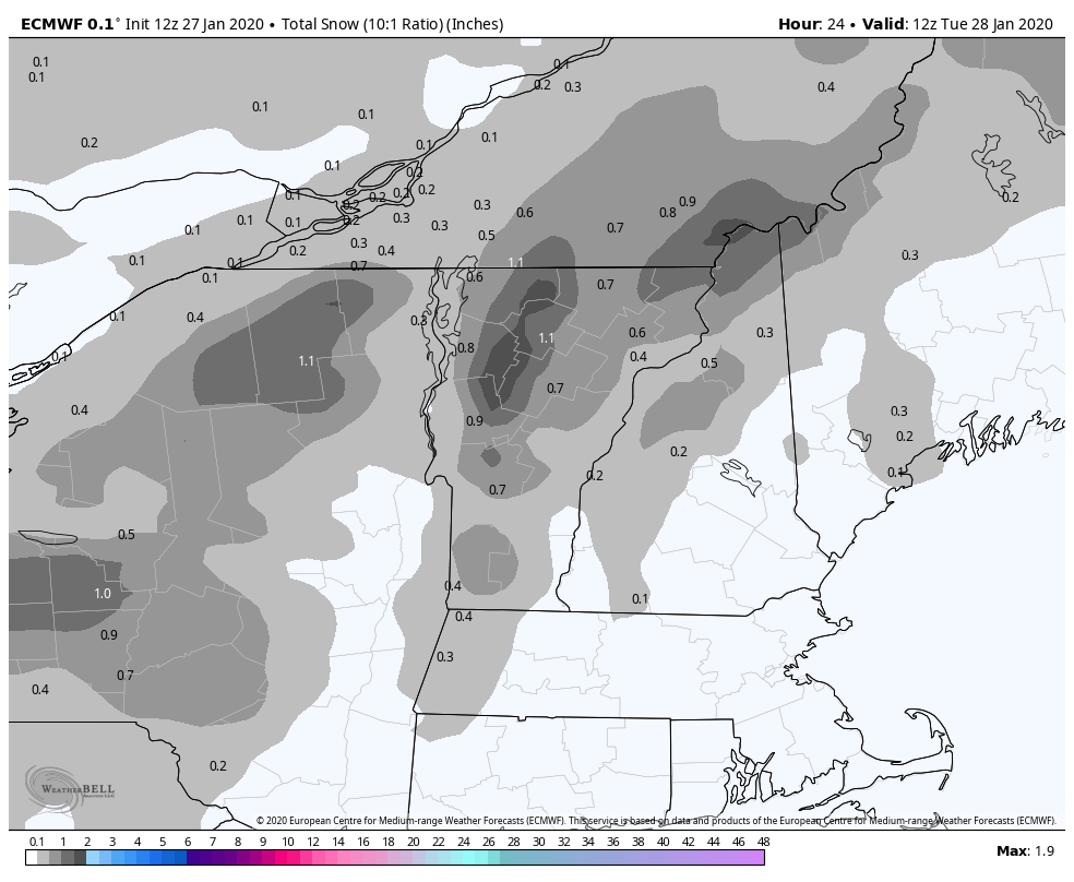
SATURDAY: Cloudy. Chance for accumulating mountain snow showers and flurries. A low 10 to 15. A high around 30.
Average lows single digits, average highs in the 20s.
RH/1-27-20[end]