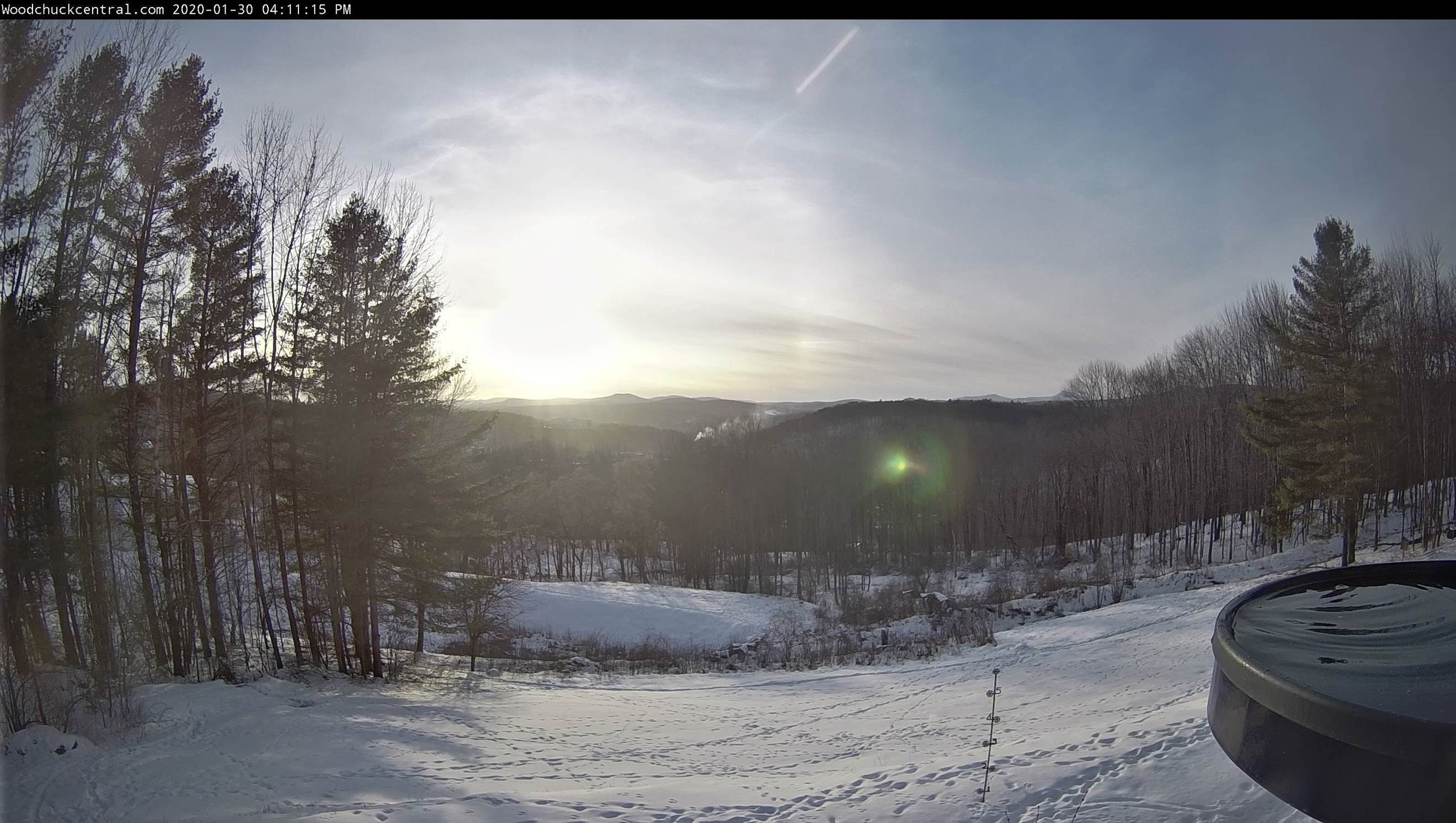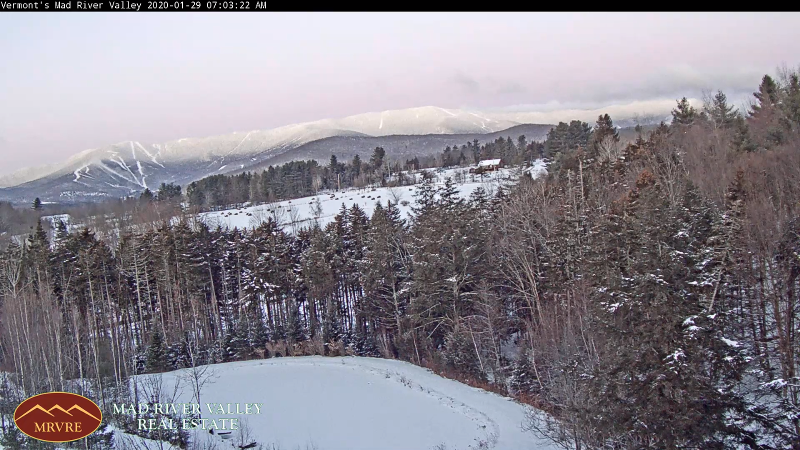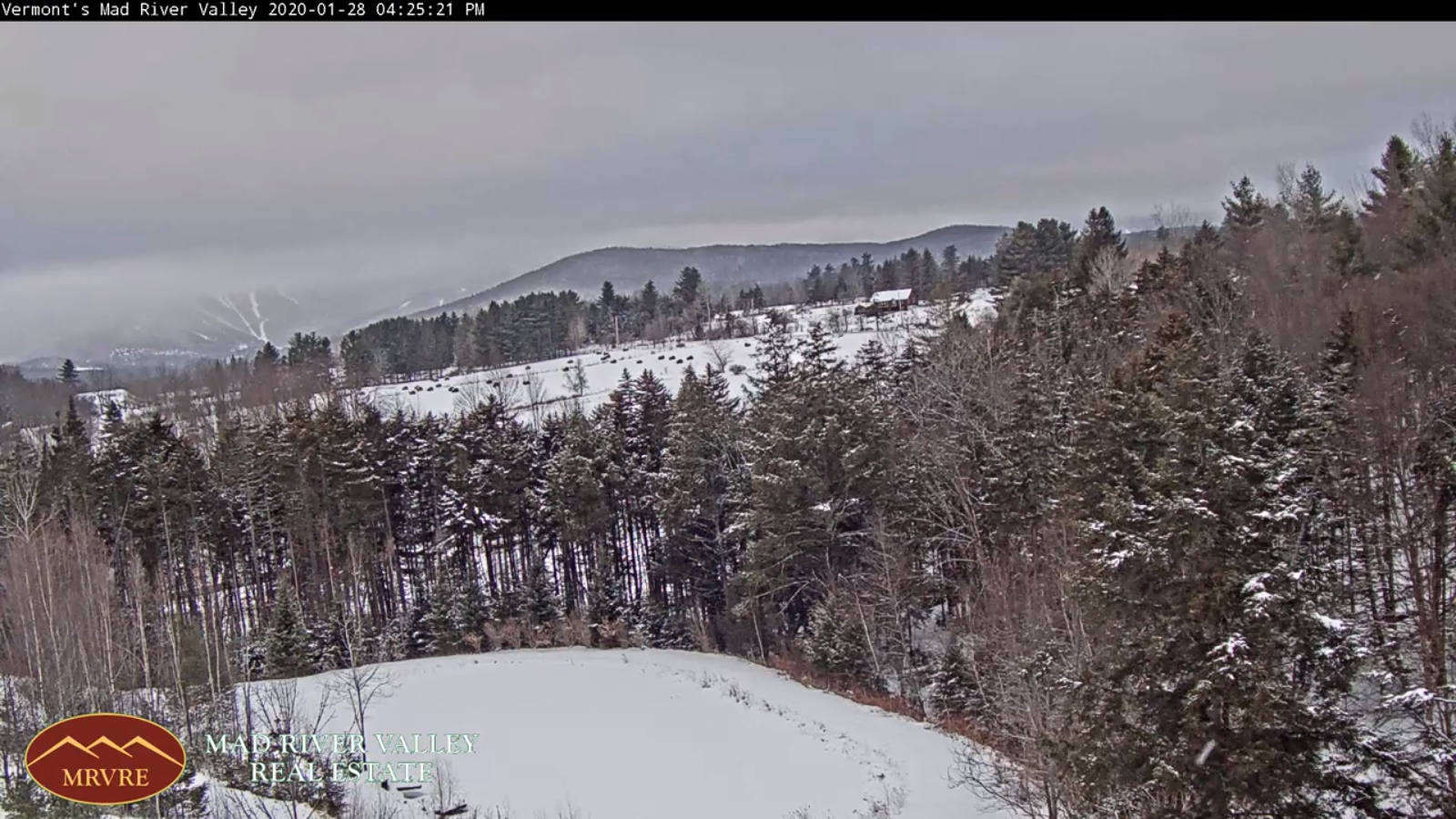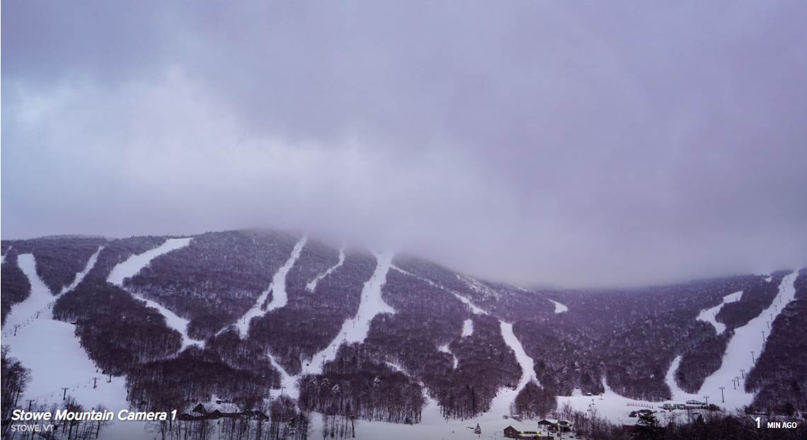
TONIGHT: Isolated northern mountain flurries this evening. Otherwise, partly to mostly cloudy. A low ranging mid-teens to mid-20s. Light winds.
TOMORROW: Clouds with a break or two of sun. Chance for a few flurries in the afternoon. A high in the mid-30s. Light southeast winds.
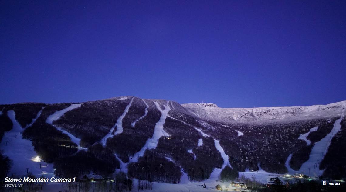
TUESDAY NIGHT: Partly to mostly cloudy. A low in the upper teens. Northwest winds 10 mph
WEDNESDAY: Morning clouds giving way to periods of afternoon sunshine, but colder. A high 20 to 25. Northwest winds 10 to 15 mph
Looking further ahead…
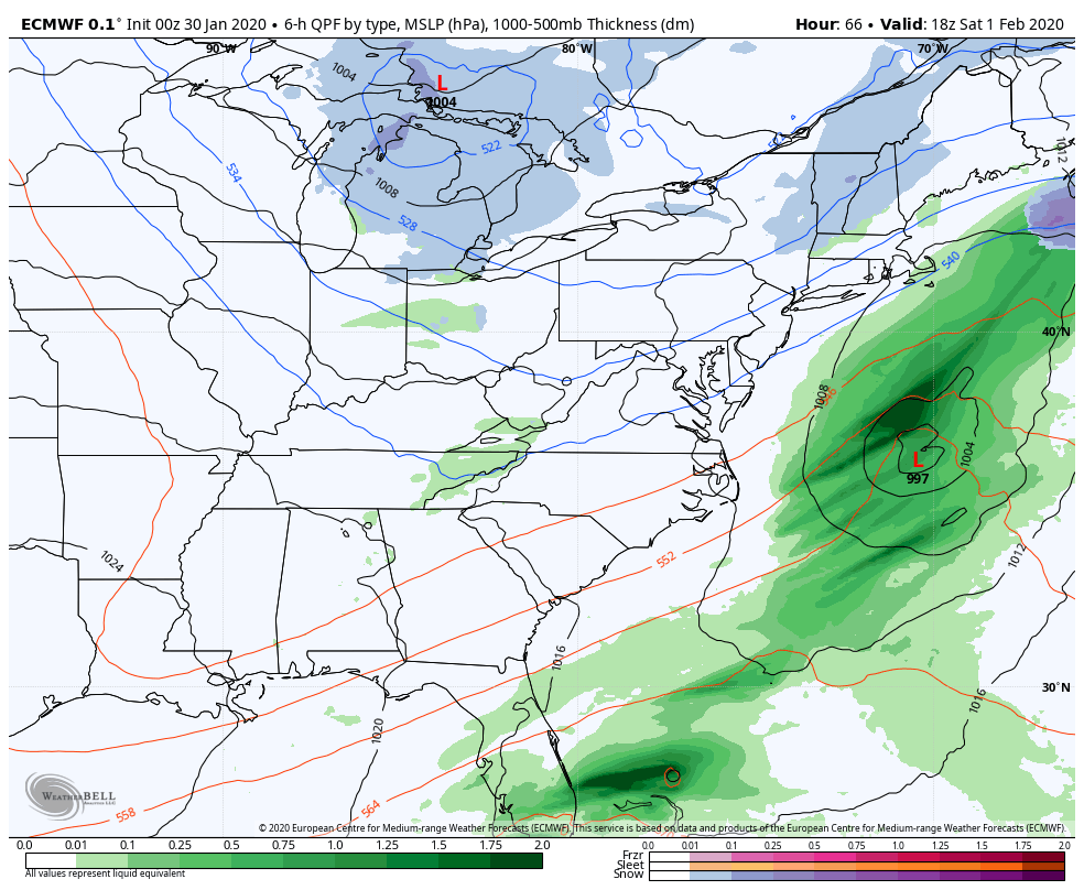
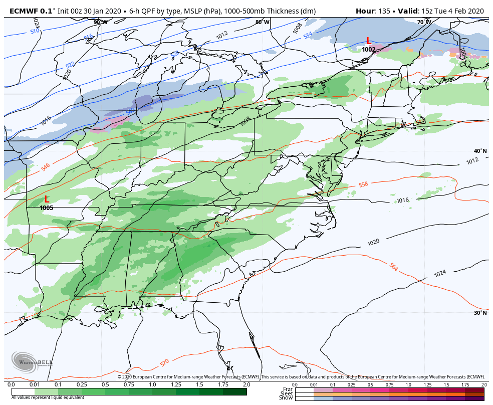
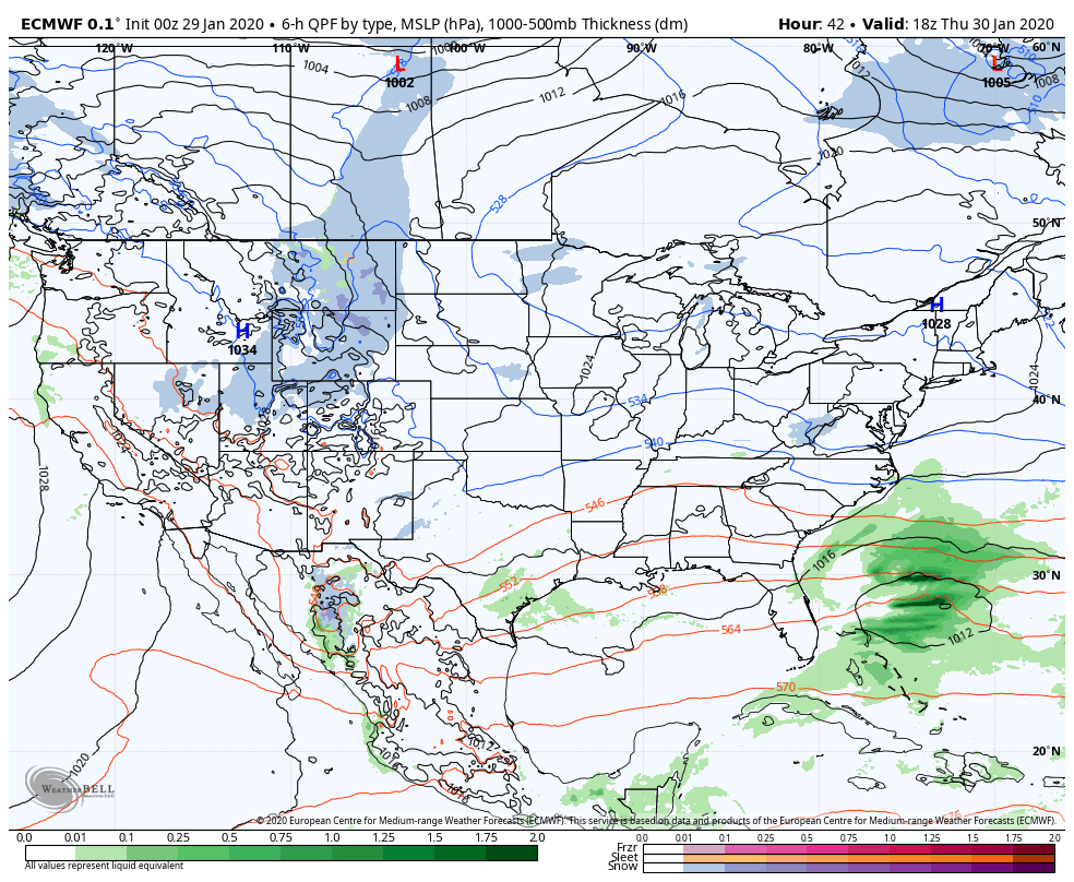
WEDNESDAY NIGHT: Thickening clouds. Accumulating snow likely toward morning affecting travel. A low ranging zero to 15 above.
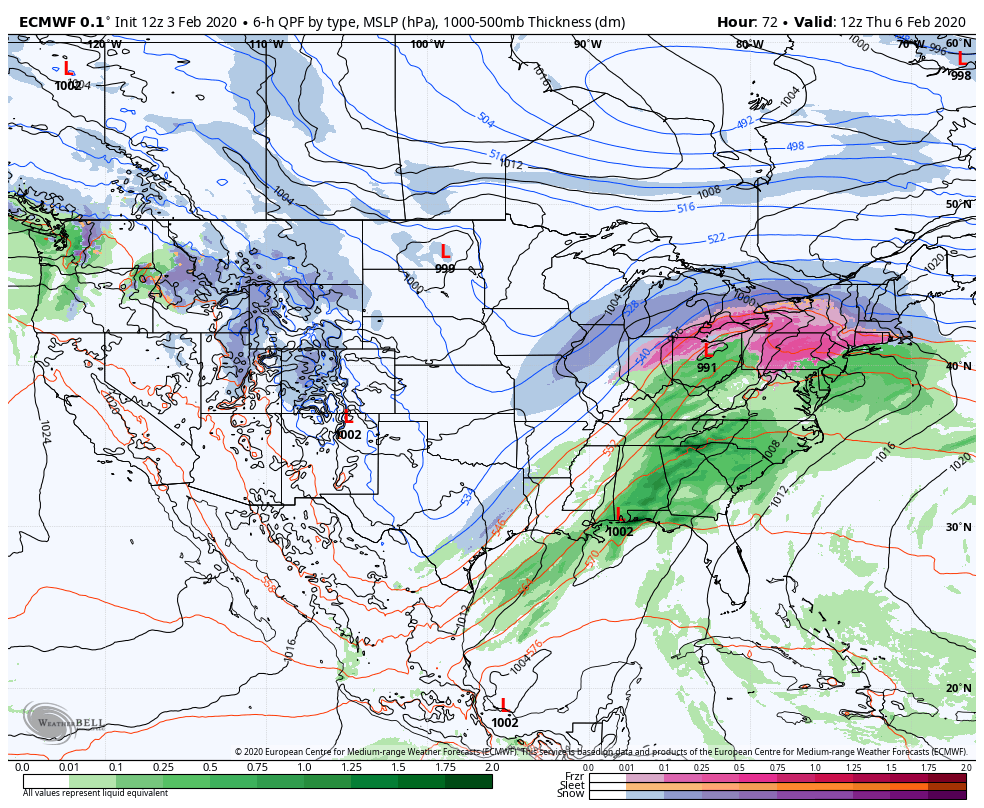
THURSDAY: Cloudy. Periods of accumulating snow likely…changing to a wintry mix in the afternoon with slippery travel. About 2 to locally 6”possible. A late day high in the low 30s.
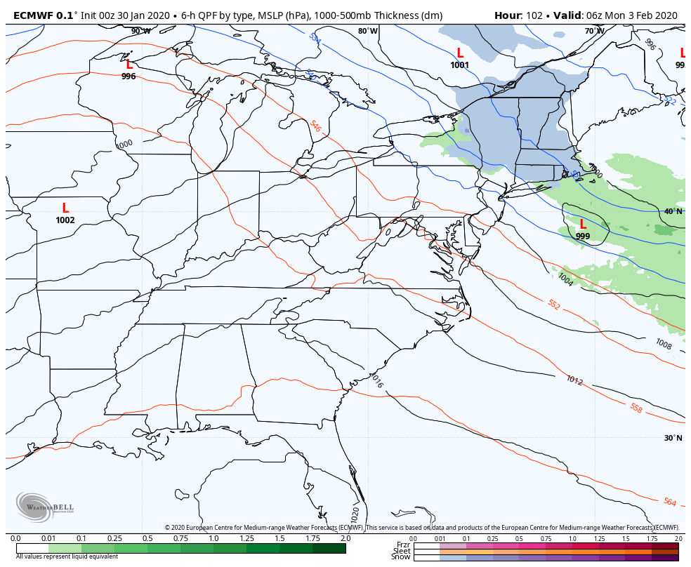
FRIDAY: Overcast. Good chance for periods of snow or mixed precip changing to snow moderate at times. Sharply colder. Temperatures falling from low to mid 30s…into the teens in the afternoon.
SATURDAY: Any morning leftover flurries dry up to increasing amounts of sunshine. A low in the single digits. A high mid-teens to around 20.
Average lows 5 to 15 above, average highs mid-20s to mid-30s.
RH/2-3[end]