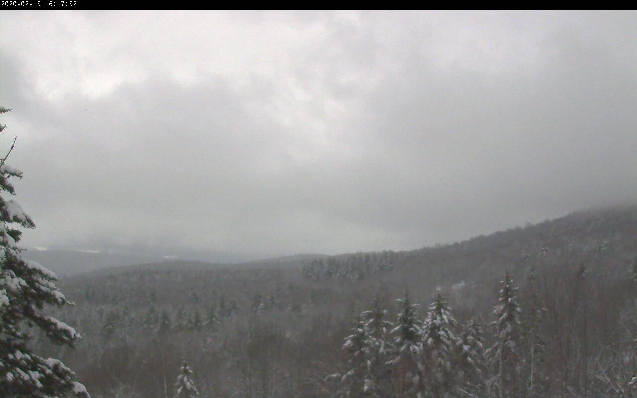
TONIGHT: Clear this evening. High cloudiness lowering and thickening toward day break. A low zero to 10 above. Light southeast winds.
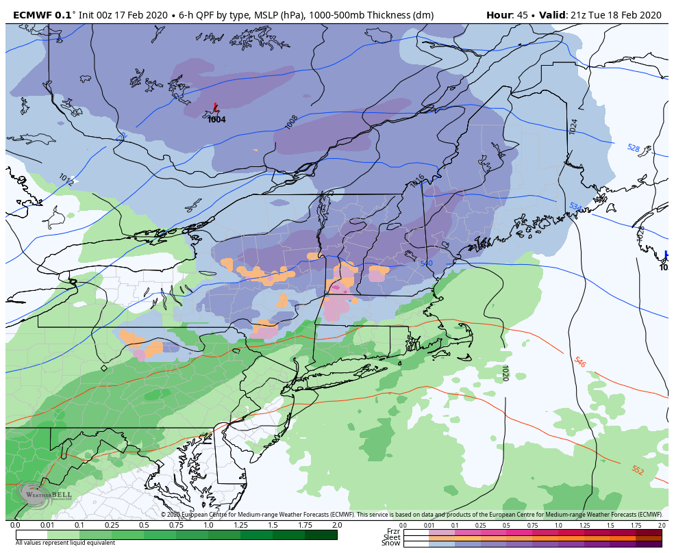
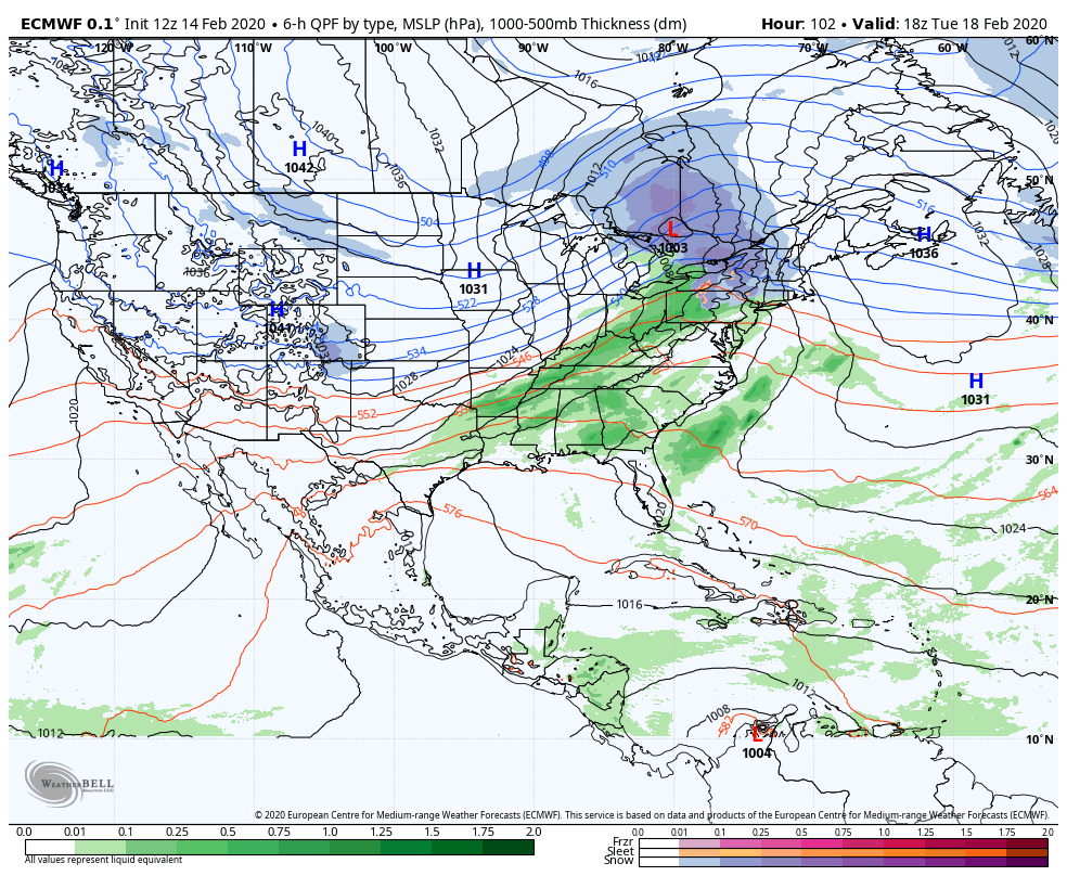
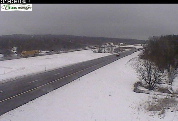
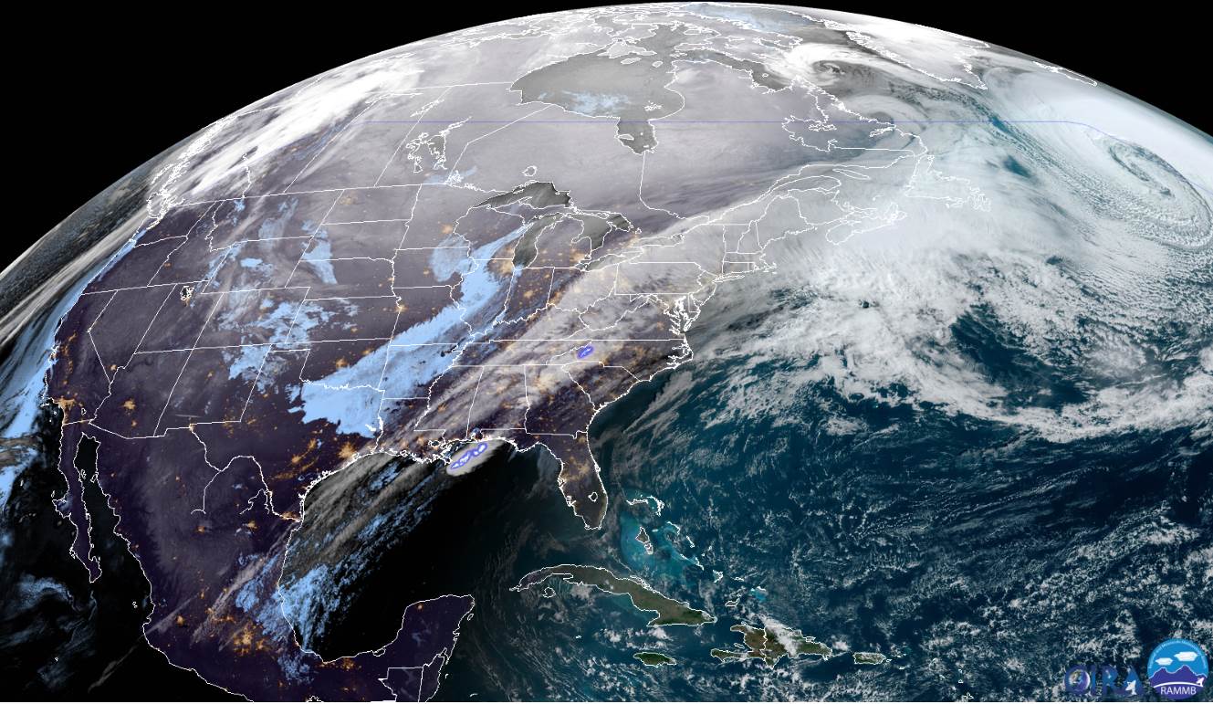
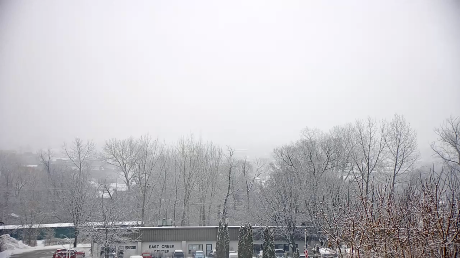
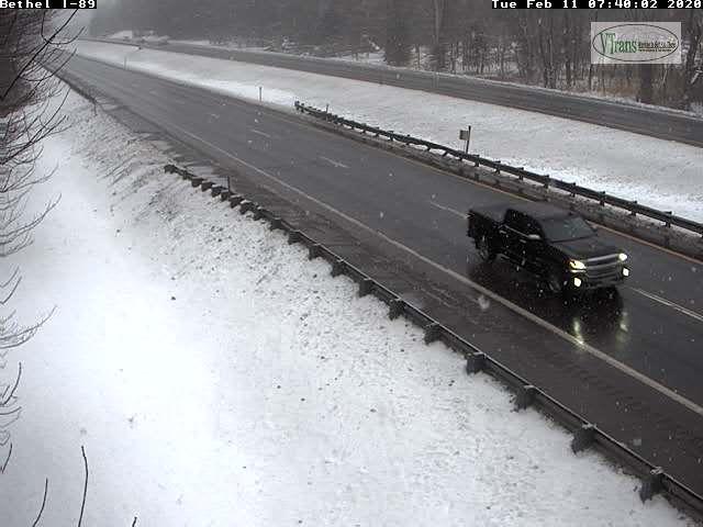
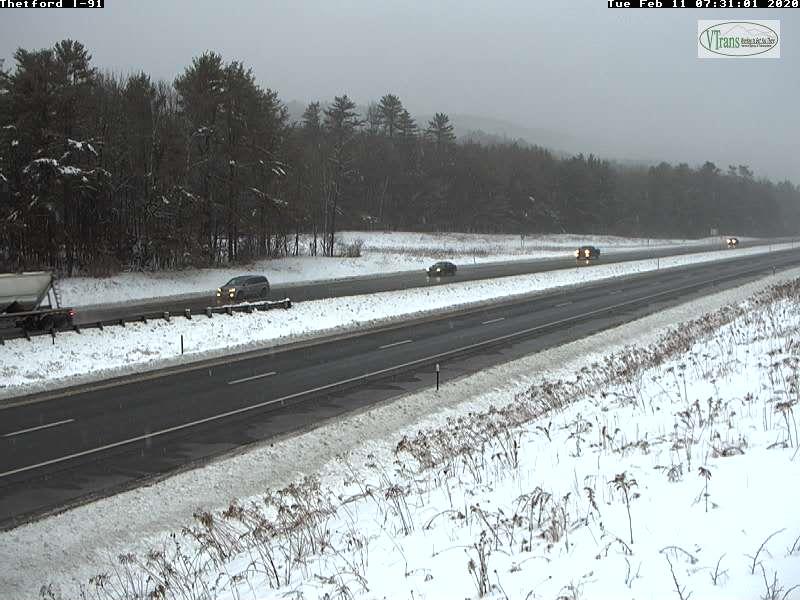
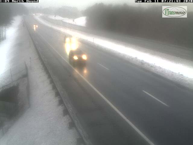
TOMORROW: Gray. Periods of light snow arriving around the morning commute becoming moderate at times in the afternoon. A risk for sleet late. Slushy and icy travel with total accumulation 2 to 4”. Temperatures rising to near 32 toward evening. Southeast winds 10 to 20 mph.
TUESDAY NIGHT: A period of snow, or a wintry mix early in the evening exiting as a light rain shower or sprinkle. Otherwise partly to mostly cloudy, and milder for a time. Temperatures rising into the upper 30s, then falling into the upper 20s. Southwest winds 10 to 20 mph shifting to northwesterly overnight.
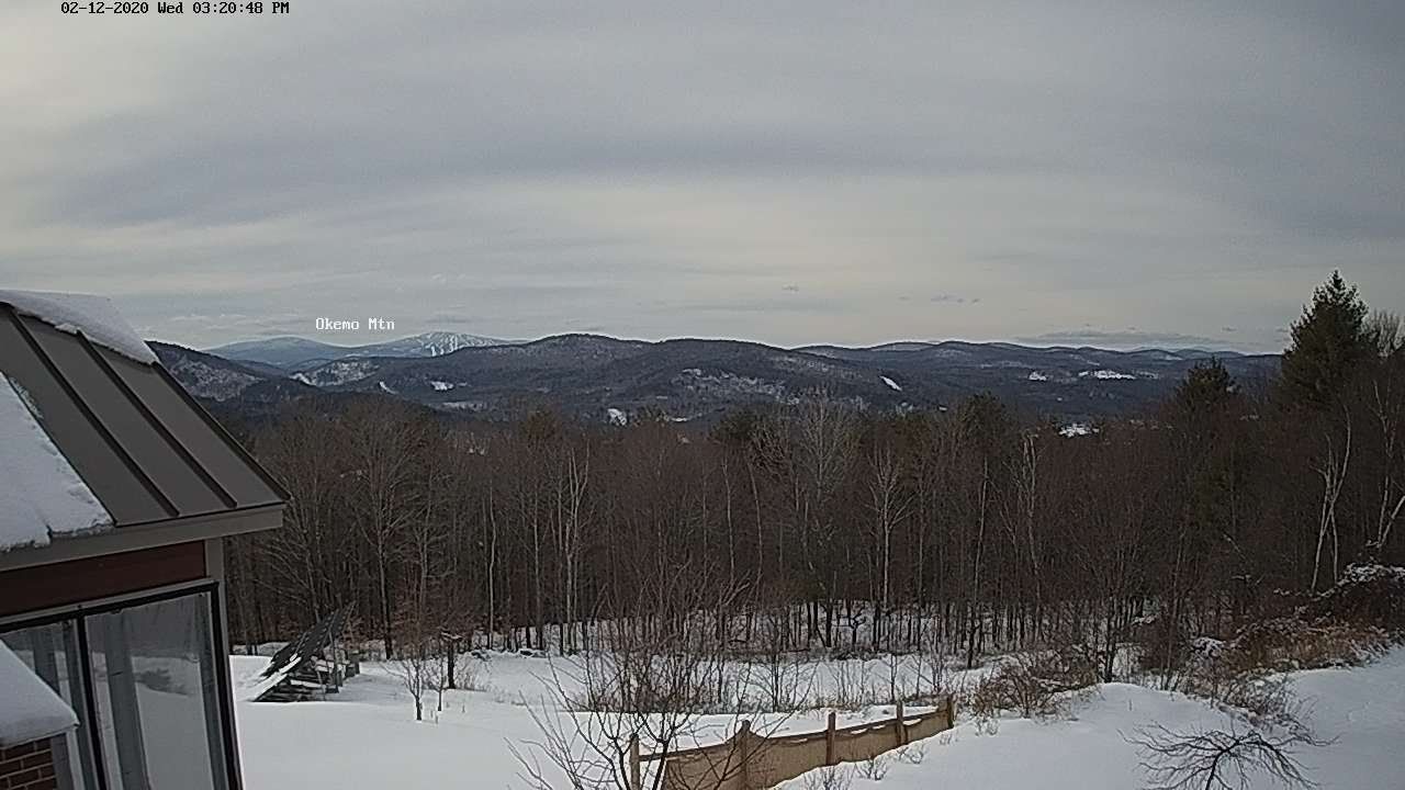
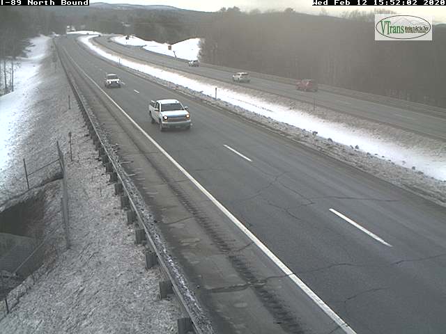
WEDNESDAY: Good chance for leftover snow showers or flurries north of the Barre-Montpelier area. A dusting to an inch accumulation. Blustery. Temperatures falling into the teens. West to northwesterly winds 10 to 25 mph.
Looking further ahead…
WEDNESDAY NIGHT: Partly cloudy. Chance for a few stray mountains flurries. A low around zero to 5 above.
THURSDAY: Chance for flurries early, then increasing afternoon sunshine. A high in the teens.
FRIDAY: Sunny but cold. A low zero to 15 below. A high 15 to 20.
SATURDAY: Mostly sunny and milder. A low around 10 above. A high in the mid-30s
Average lows upper single digits to mid-teens, average highs low to mid-30s.
RH/2-17[end]