Winter Weather Advisory portions of eastern and southern Vermont thru 4 AM Tuesday morning…
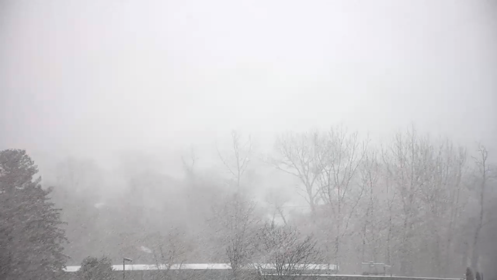
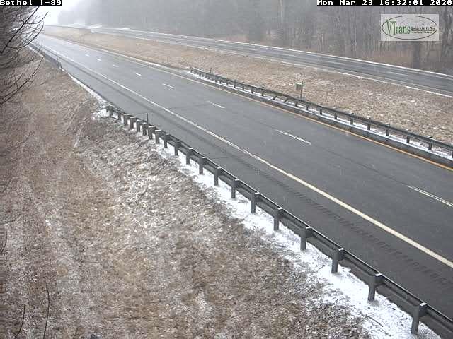
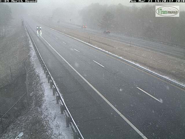
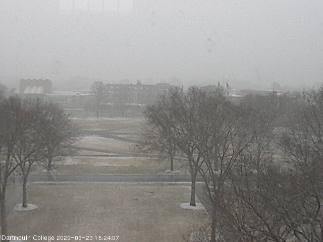
TONIGHT: Overcast. Snow…possibly moderate to briefly heavy at times thru mid-evening…becoming lighter before tapering off overnight to a few flurries. Total accumulation 3 to locally 8” northern and central areas, locally more southern and central Green Mountain summits. A low in the upper 20s to near 30. Light east winds.
TOMORROW: Couple leftover flurries gives way to mostly cloudy skies. A high upper 30s to near 40. Northwest winds 10 mph.
TUESDAY NIGHT: Mostly clear. A low mid-teens to low 20s. Light northeast winds.
WEDNESDAY: Mainly cloudy but a few breaks of sun early. Slight chance for sprinkle or flurry Southern areas. A high 40 to 45. Southeast winds 10 mph.
Looking further ahead…
WEDNESDAY NIGHT: Mostly clear to partly cloudy. A low in the low to mid 20s.
THURSDAY: Mixed sun and clouds. Scattered late day sprinkles mixed with wet snow. A high in the mid to upper 40s.
FRIDAY: High cloudiness filtering the sun. A low around 30. A high mid-30s to mid-40s warmest southern Vermont.
SATURDAY: Filtered sunshine thru high cloudiness. A low upper 30s to mid 40s.
Average lows low to mid-20s, average highs 40 to 45…
RH/3-23[end]