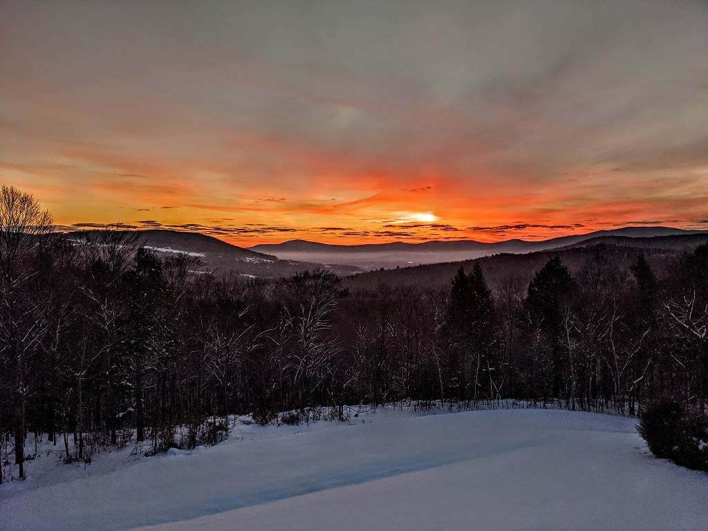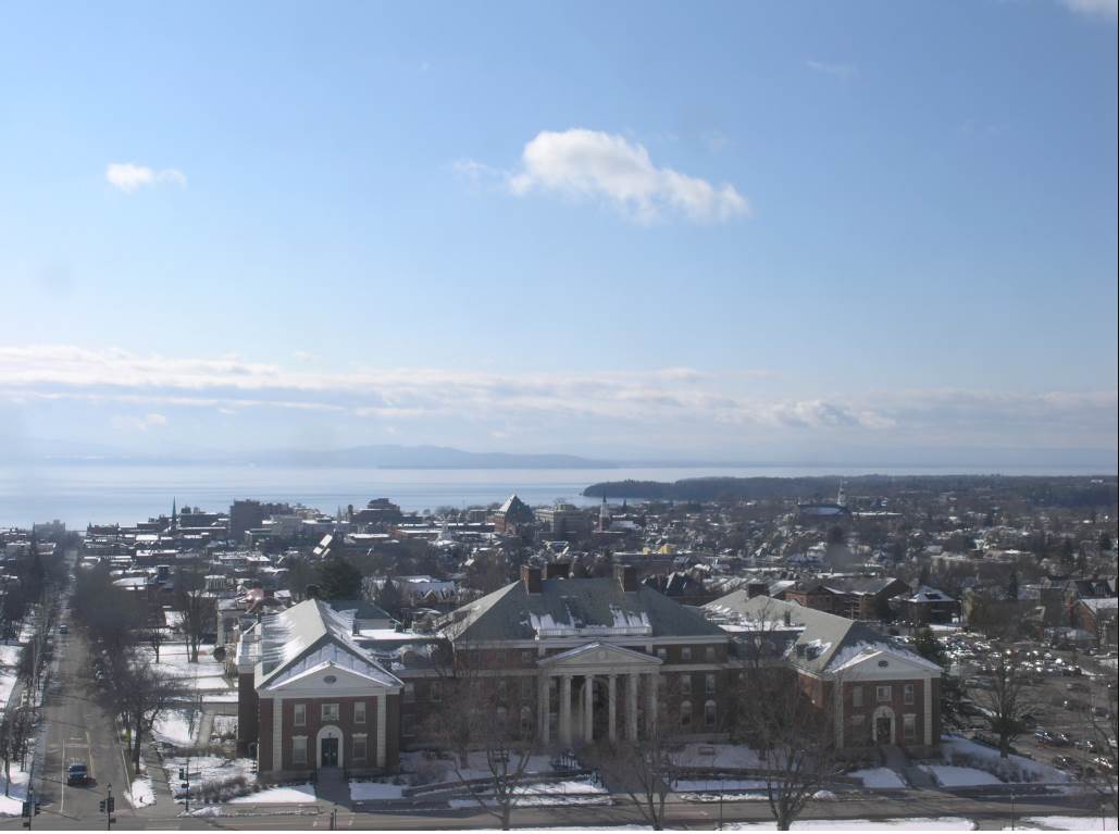
TONIGHT: Evening clouds give way to clearing skies. A low mid-teens to low 20s. Light southeast winds.
TOMORROW: Brief morning sunshine then more clouds in the afternoon. A high 45 to 50. Light southeast winds.
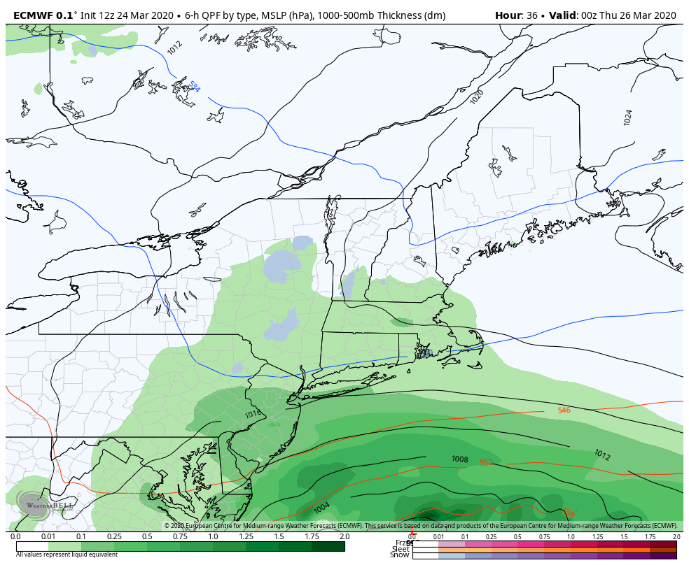
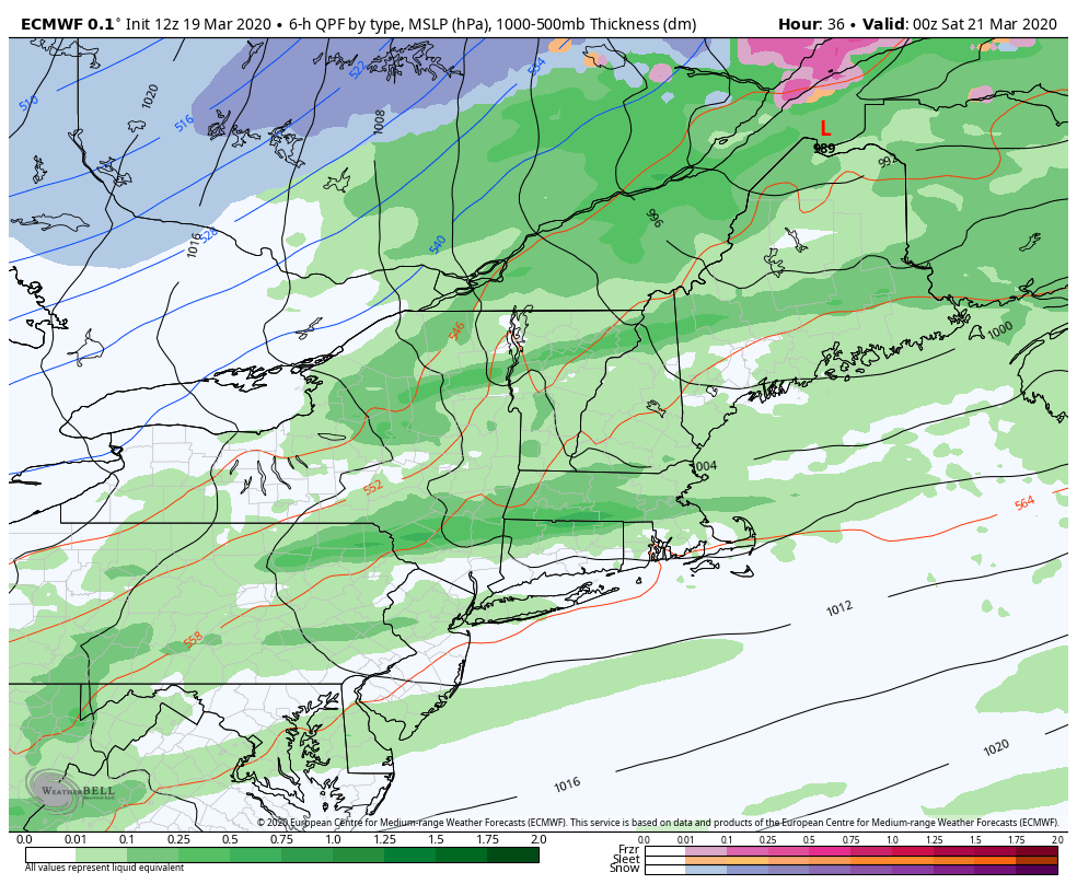
THURSDAY NIGHT: Scattered rain showers mixed with snowflakes mainly northern areas. Watch for icy spots. A low 32 to 35. South winds shifting to northwesterly 10 to 15 mph.
FRIDAY: Pick of the week. A few morning clouds then partly to mostly sunny. A high mid-40s to 50. Light northwest winds.

Looking further ahead…
FRIDAY NIGHT: Mostly clear. Lows in the mid-teens to low 20s.
SATURDAY: Not bad. Sunshine with high clouds in the afternoon. A high upper 40s to low 50s.
SUNDAY: Gray. Chance for mixed precipitation transitioning to all rain in the afternoon potential for slick travel. Breezy to windy out of southeast. A low around 30. A high in the mid to upper 30s.
MONDAY: Mostly cloudy & blustery. Chance for rain showers mixed with wet snowflakes. A low 30 to 35. A high in the low 40s.
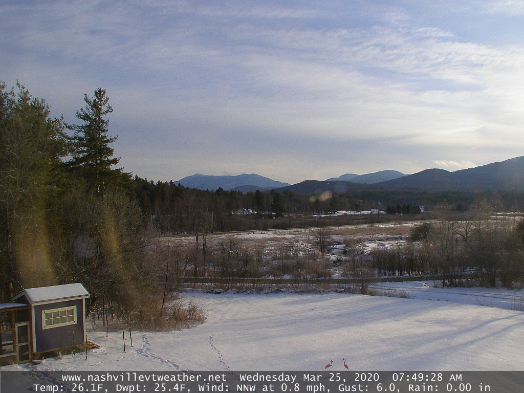
Average lows low to mid-20s, average highs 40 to 45…
RH/3-25[end]