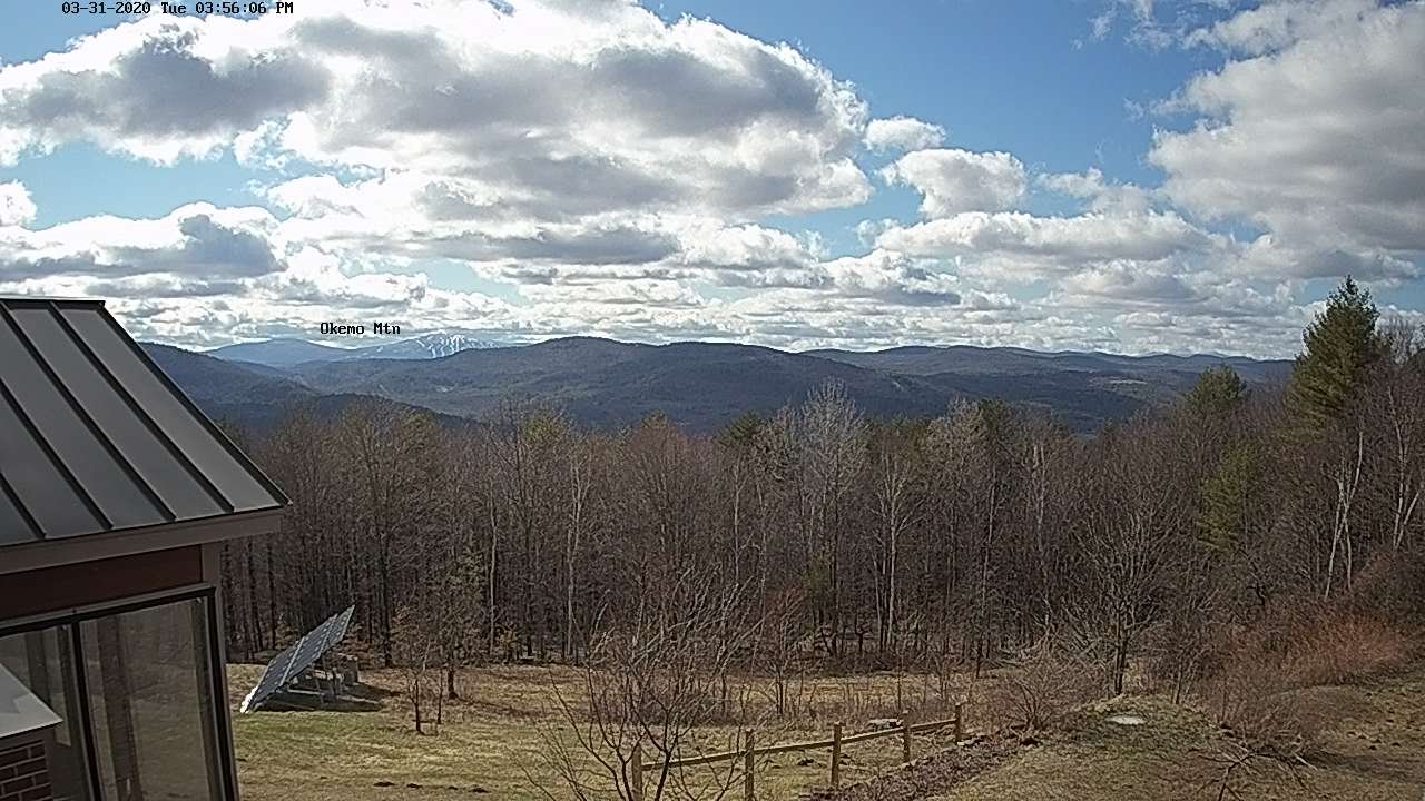
TONIGHT: Cloudy. Chance for snow showers developing toward daybreak NE. Kingdom. A low around 30. Light northwest winds.
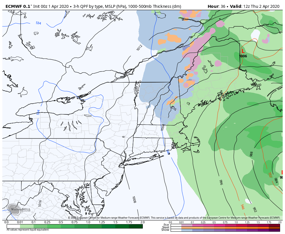
TOMORROW: Gray and rather raw. Periods of wet snow developing mid-morning mixing with rain valley floors. Accumulation of a dusting to locally 3” Northeast Kingdom higher terrain. A high mid to upper 30s. North winds 10 to 15 mph.
THURSDAY NIGHT: Lots of clouds. Wet snow showers mixed with rain some valleys floors. A low around 35. North winds 10 mph.

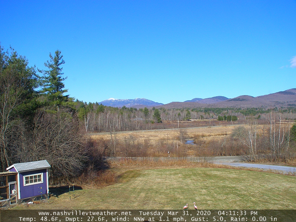
FRIDAY: Mainly cloudy with scattered leftover rain showers eventually exiting south, maybe some late day intervals of sun. A high upper 40s to around 50. North winds 10 mph.
Looking further ahead…
FRIDAY NIGHT: Partly cloudy. A low 32 to 35.
SATURDAY: Partly cloudy in the morning them increasing sunshine in the afternoon. A high 50 to 55.
SUNDAY: Brief morning sun then clouding up. Scattered brief rain showers arriving late afternoon. A low around 30. A high in the mid-50s
MONDAY: Partly to mostly sunny. A low around 32. A high in the low 50s.
TUESDAY: Filtered sun thru high clouds. A low near 30. A high upper 40s to around 50.
Average lows ranging thru the 20s, average highs 45 to 50.
RH/4-1[end]