
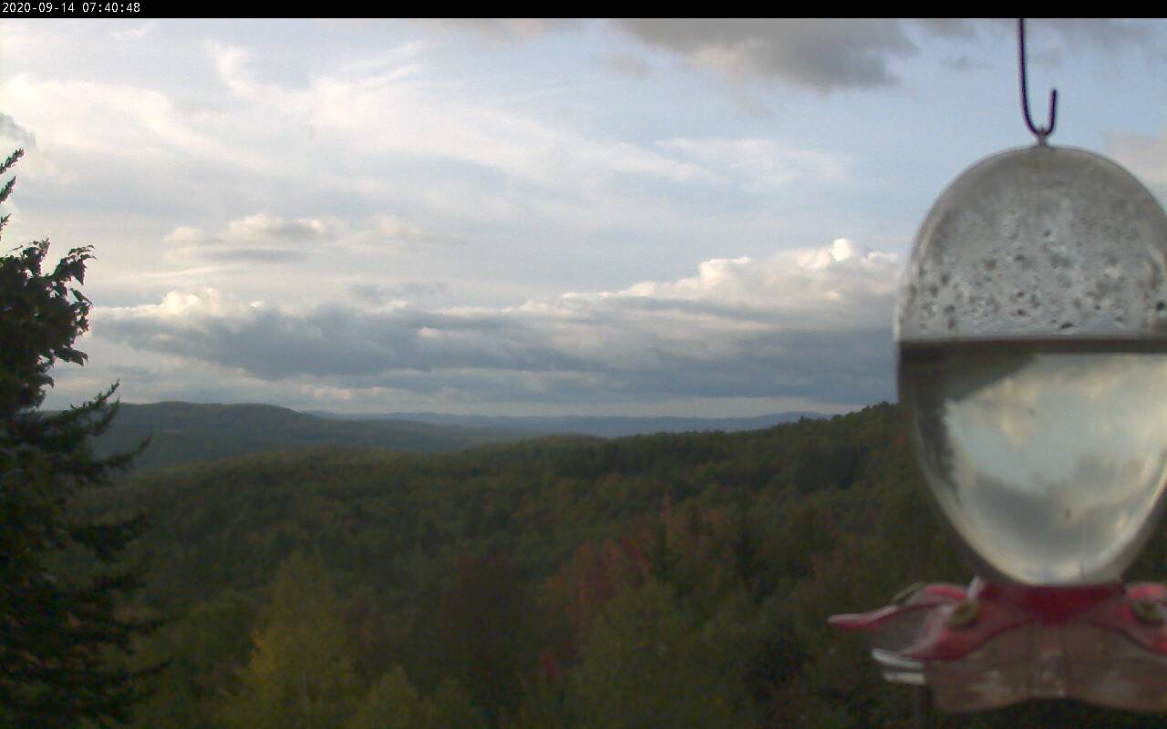
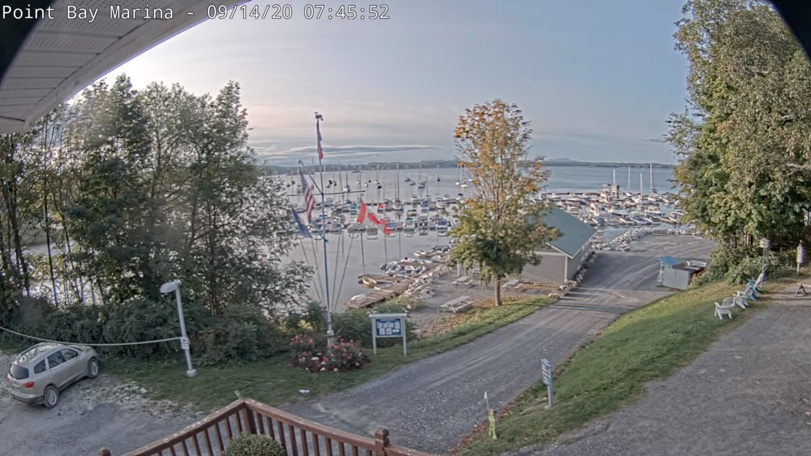
TODAY: Morning clouds, maybe a mountain sprinkle early. Increasing sunshine late morning on. Blustery at times. A high in the lower 60s. Northwest winds 10 to 25 mph with a few higher gusts.
Frost Advisory overnight North central & Northeast Vermont
TONIGHT: Mostly clear with a few high clouds. Patchy valley fog. A low in the low to mid 30s. Light northwest winds.
TUESDAY: Lots of sunshine crisp and cooler. A high 60 to 65. Light west winds.
Looking further ahead…
TUESDAY NIGHT: Mostly clear with a few more clouds northern areas. A low 45 to 50.
WEDNESDAY: Sunshine giving way to afternoon clouds northern areas. A high reaching into the mid-70s.
THURSDAY: Clouding up to a time. Chance for a few light rain showers. A low near 50. A high around 65.
FRIDAY: Sunshine mixed with clouds north. Otherwise cloudy south, Chance for lingering rain showers. A low in the upper 30s to around 40 north and near 50 south. A high 55 to 60.
Average lows 45 to 50, Average highs mid-60s to around 70.
RH/9-14[end]
