
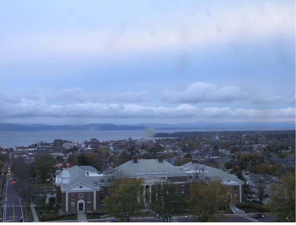
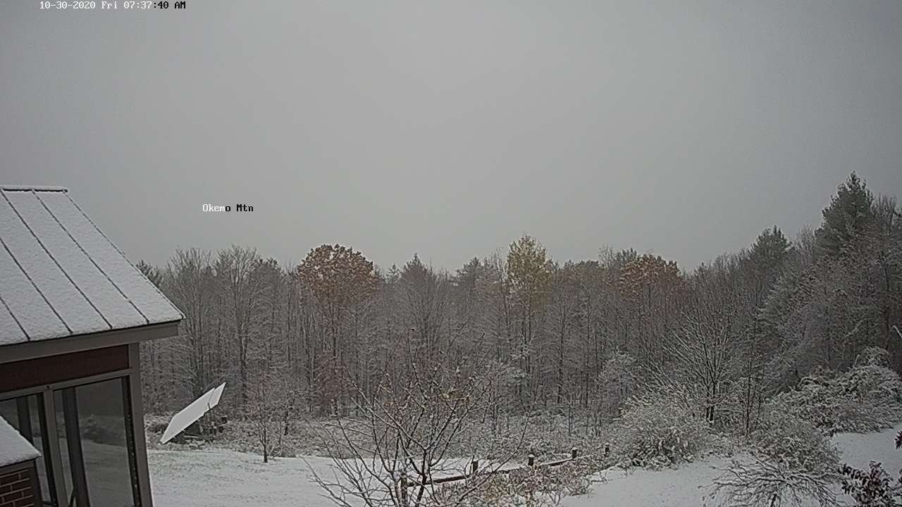
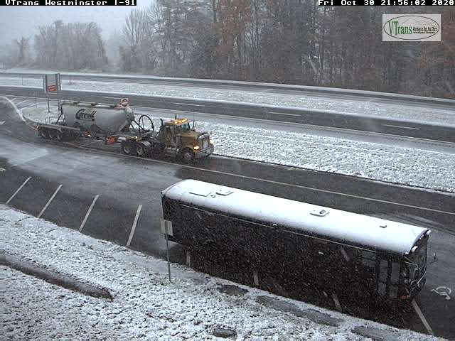
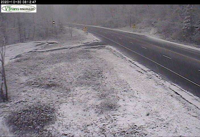
TODAY: A few leftover snow showers southern areas exiting this morning. Cloudiness gives way to periods of afternoon sun. A high in the upper 30s. North winds 10 to 15 mph.
TONIGHT: Mostly clear or fully moonlit. Cold and frosty. A low in the upper teens to low 20s. Light northwest winds.
Full Hunters Moon 2:49 PM
SATURDAY: Blue skies and bright sunshine. Chilly. A high in the low 40s. Light southwest winds.
Looking further ahead…
HALLOWEEN:Clear moonlit skies and chilly. Temperatures falling through the 30s.
Fall Back 1 hour – (lose sleep) to EST
SATURDAY NIGHT: Clear, cold & fully moonlit.A low near 25.
SUNDAY: Filtered sunshine followed by lots of clouds. A rising chance for rain showers late. Breezy to windy from the south. A high 45 to 50.
MONDAY: Variably cloudy, blustery to windy and colder. Lake Effect snow showers and a risk of snow squalls. Some minor accumulation especially elevated terrain. A low upper 20s. A high around 40.
Election Day (sort of)
TUESDAY: Mixed sun and clouds. Chance for lingering mountain flurries. Frigid for this time of year. A low around 20. A high only around 32.
WEDNESDAY: Mixed sun and clouds. A low in the 20s. A high 45 to 50.
Average low ranging upper 20s to mid-30s, Average highs upper 40s to mid-50s.
RH/10-30 category forecast][end]
