Updated Friday morning Forecast — November 27th, 2020

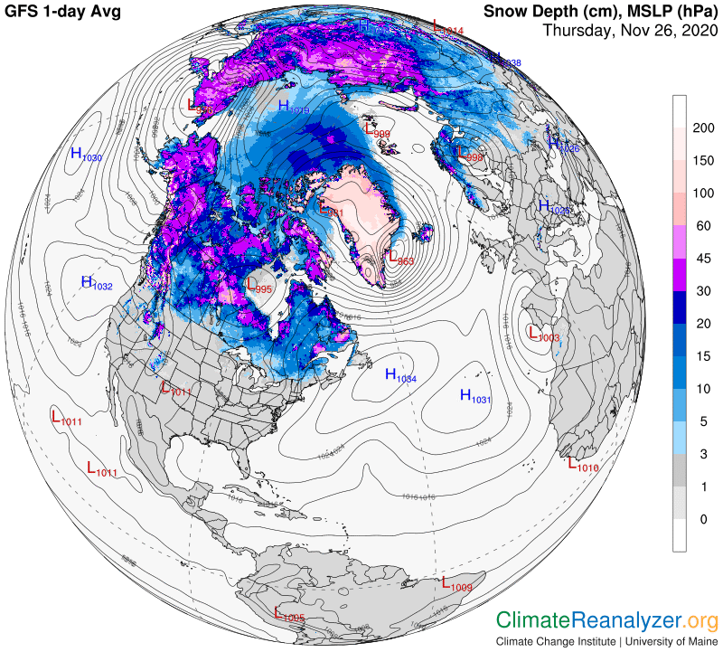
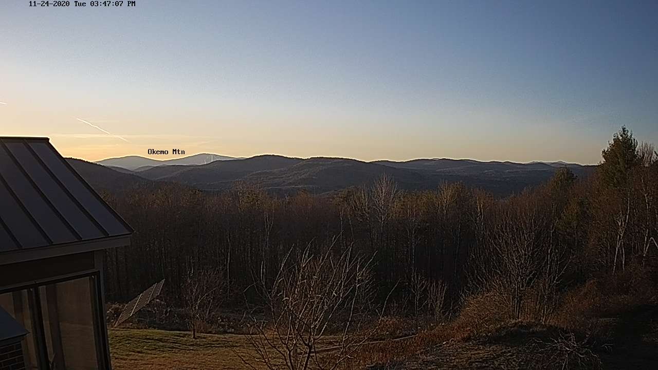
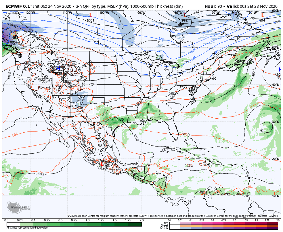
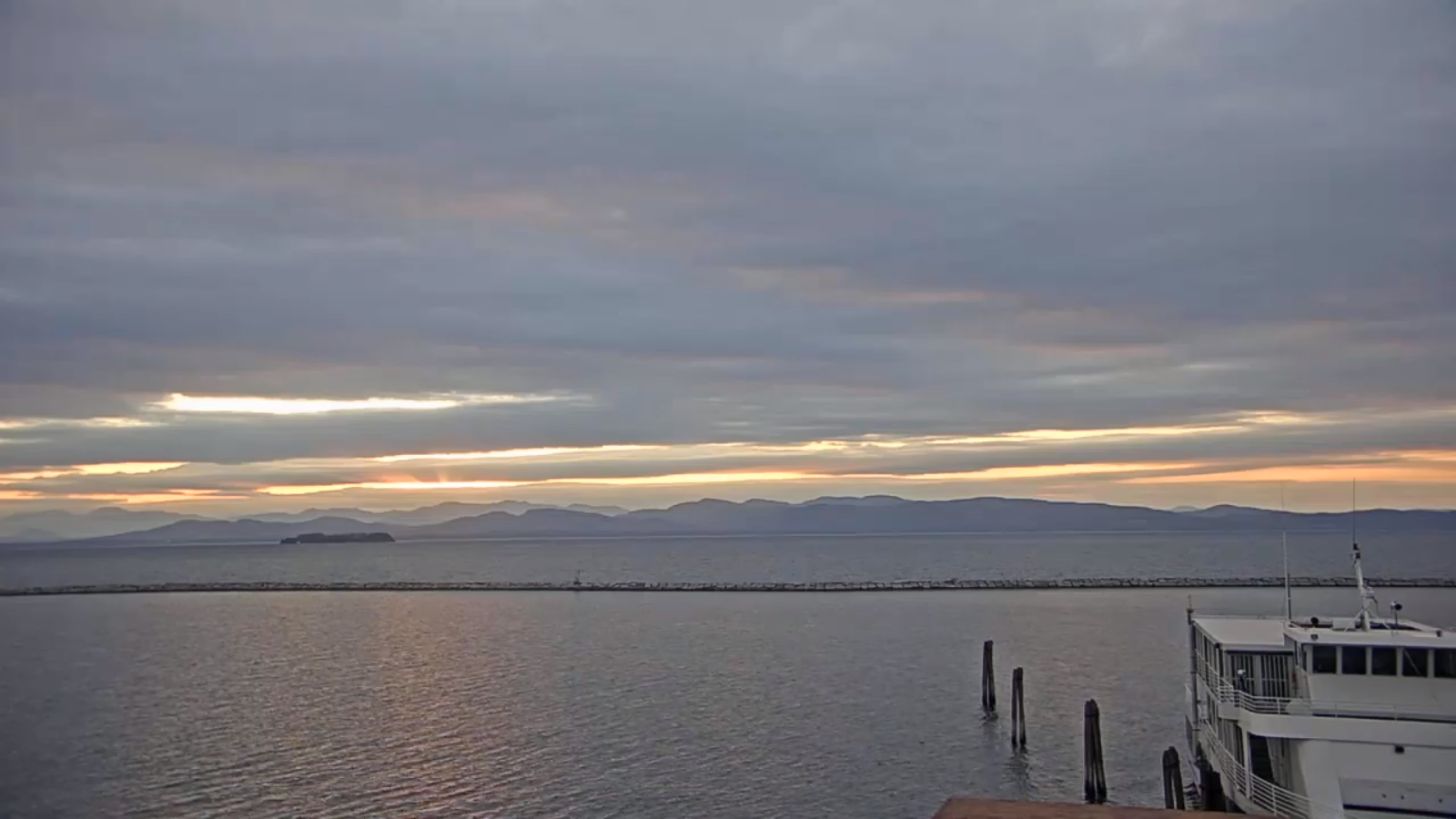
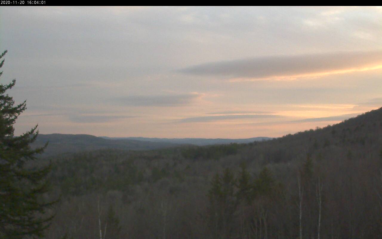
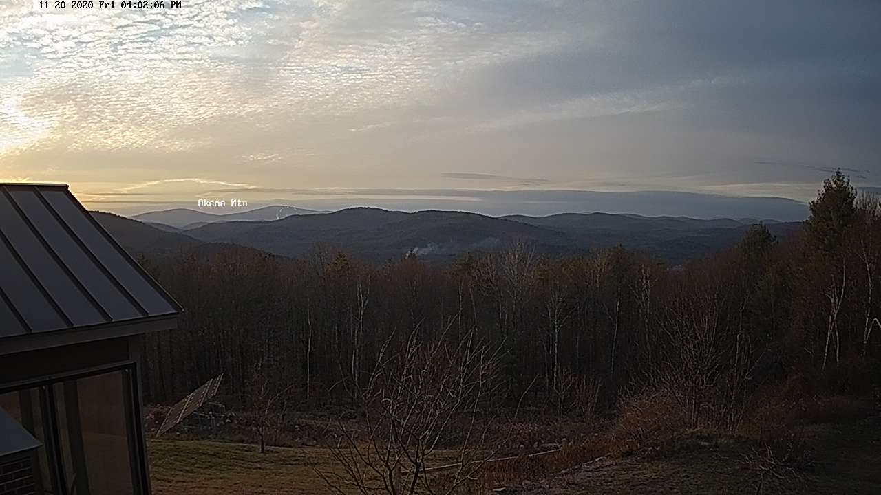
TODAY: Considerable mainly high cloudiness. An isolated mountain sprinkle. Milder. A high in the mid-40s. Winds becoming light and westerly.

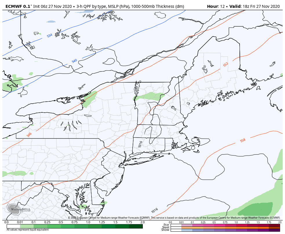
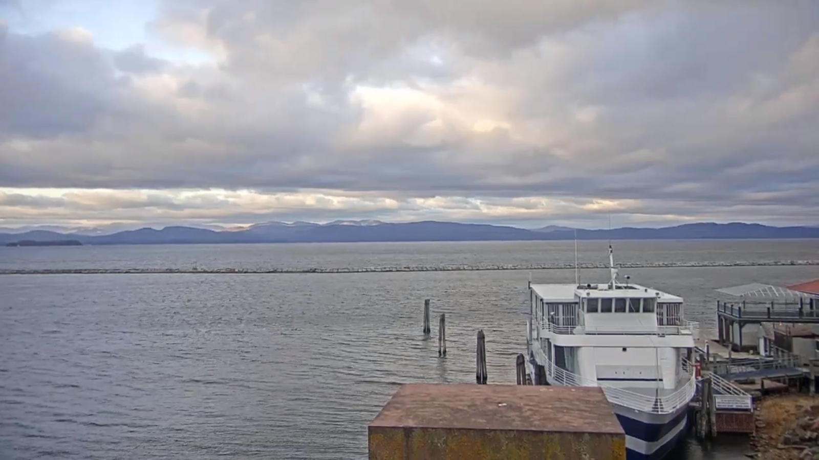
TONIGHT: Overcast. Isolated rain showers mixed with wet snowflakes high terrain. A low 32 to 35. Light southwest winds.

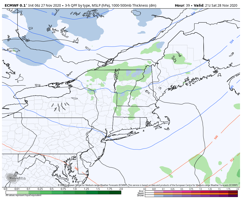
SATURDAY: Clouds with a few sunny breaks. Scattered passing rain showers mixed with wet snow flakes elevated terrain. A high about 40. Light southwest winds.

Looking further ahead…

SATURDAY NIGHT: Mostly cloudy. Maybe a northern mountain flurries. A low in the low 30s.

SUNDAY: More sun than clouds. A high in the mid-40s.

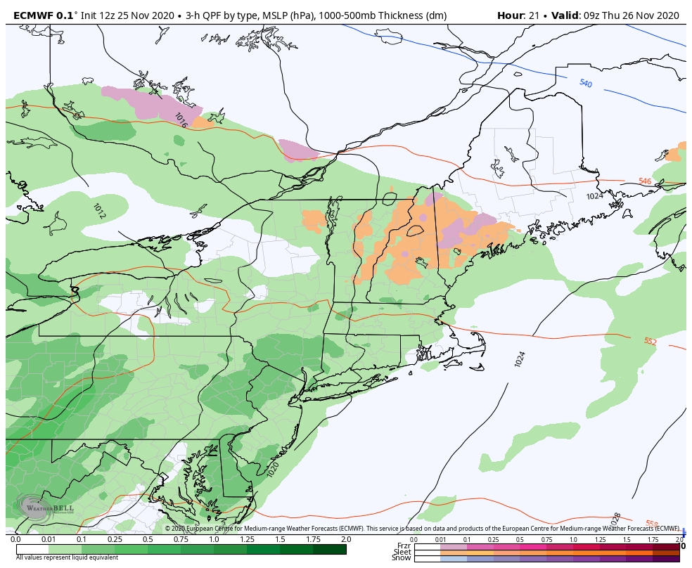
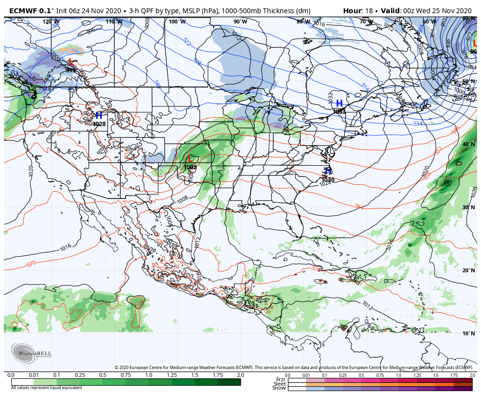
MONDAY: Thickening clouds. Rain likely late morning on. Breezy to windy with strong southeasterly wind gusts possible developing toward evening. A low near 32. Milder in the afternoon. A high in the low 50s.

TUESDAY: Scattered rain showers. Otherwise clouds mixed with breaks of sun. Milder but breezy. A low 45 to 50. A high near 55.

WEDNESDAY: Mainly cloudy. Chance for showers of rain valleys and wet snow accumulation in the hills. A low around 30. A high around 40.

Average low upper teens to mid-20s, Average highs mid-30s to low 40s.

RH/11-27 category forecast][end]

Updated Thursday Thanksgiving Day Forecast — November 26th, 2020

TODAY: Gray with areas of fog. Rain showers central and northern areas become widely scattered…steadier rain south continues. Some afternoon breaks of sun northern areas. A high in the low 40s. Southeast winds 10 mph.

TONIGHT: Mainly cloudy. Areas of fog. Isolated sprinkles. A low 35 to 40. Light south winds.

FRIDAY: Considerable cloudiness. An isolated mountain sprinkle. Milder. A high in the mid-40s. Winds becoming light and northwesterly.

Looking further ahead…

FRIDAY NIGHT: Mostly cloudy. Isolated rain showers mixed with wet snowflakes high terrain northern areas. A low in the mid-30s.

SATURDAY: Clouds mixed with intervals of afternoon sunshine. Scattered passing rain showers mixed with wet snow flakes elevated terrain. A high near 40.

SUNDAY: Partly sunny in the morning, lots of sun in the afternoon. A low in the upper 20s. A high in the mid 40s.

MONDAY: Thickening clouds. A rising chance for rain in the afternoon. Breezy to windy with strong southeasterly wind gusts possible developing toward evening. A low around 30. A high around 45.

TUESDAY: Rain showers exiting early, then variable cloudiness and milder but breezy. A low near 40. A high in the 50s.

Average low 20 to 25, Average highs upper 30s to near 45.

RH/11-26 category forecast][end]

Updated Wednesday Evening Forecast — November 25th, 2020

TONIGHT: Cloudy. A period of rain mixed with pockets of sleet and freezing rain with areas of slick travel east of the Green Mountains. Areas of fog. A low 32 to 35. Light southeast winds.

TOMORROW THANKSGIVING DAY: Gray skies with areas of fog. Scattered light rain showers. Maybe some late day sunny breaks northern areas. Milder with a high pushing toward 45 later in the afternoon. Southeast winds 10 mph.

THURSDAY NIGHT: Mainly cloudy. Areas of fog. Isolated sprinkles. A low 35 to 40. Light south winds.

FRIDAY: Considerable cloudiness. An isolated mountain sprinkle. Milder. A high in the mid to upper 40s. Winds becoming light and northwesterly.

Looking further ahead…

FRIDAY NIGHT: Mostly cloudy. Isolated rain showers mixed with wet snowflakes high terrain. A low in the mid-30s.

SATURDAY: Clouds mixed with intervals of afternoon sunshine. Scattered passing rain showers mixed with wet snow flakes. A high in the low 40s.

SUNDAY: Partly sunny in the morning, lots of sun in the afternoon. A low around 30. A high near 45.

MONDAY: Thickening clouds. A rising chance for light spotty rain in the afternoon. Breezy to windy with strong southeasterly wind gusts possible developing toward evening. A low around 30. A high near 50.

Average low 20 to 25, Average highs upper 30s to near 45.

RH/11-25 category forecast][end]

Updated Wednesday Morning Forecast — November 25th, 2020

TODAY: Light accumulating snow showers…exiting north into Canada by Noon. About half inch to little over an inch…with most near the Quebec border. Otherwise cloudy.A high in the mid-30s. Southeast winds 10 to 15 mph.

TONIGHT: Cloudy. A period of rain mixed with pockets of sleet and freezing rain with areas of slick travel east of the Green Mountains. Areas of fog. A low 32 to 35. Light southeast winds.

THURSDAY THANKSGIVING DAY: Gray skies with areas of fog. Scattered sprinkles or light rain showers. Maybe some late day sunny breaks northern areas. Milder with a high pushing toward 45 later in the afternoon. Light southeast winds.

Looking further ahead…

THURSDAY NIGHT: Mainly cloudy. Areas of fog. Chance for lingering rain showers. A low 35 to 40.

FRIDAY: Considerable cloudiness. Widely scattered light afternoon showers or sprinkles. Milder. A high in the mid to upper 40s.

SATURDAY: Clouds mixed with intervals of afternoon sunshine. Widely scattered passing rain shows mixed with wet snow flakes. A low in the mid-30s. A high in the low 40s.

SUNDAY: Partly sunny in the morning, lots of sun in the afternoon. A low around 30. A high near 45.

MONDAY: Thickening clouds leading to a chance for rain in the afternoon. Breezy to windy with strong southeasterly wind gusts possible. A low around 30. A high near 50.

Average low 20 to 25, Average highs upper 30s to near 45.

RH/11-25 category forecast][end]

Updated Tuesday Evening Forecast — November 24th, 2020

TONIGHT: Mostly clear early then thickening clouds. Light snow arrives before daybreak. A low around 20. Light southeast winds.

TOMORROW: Light accumulating snow showers…exiting around Noon. Up to an inch accumulation. Otherwise cloudy.A high in the mid-30s. Southeast winds 10 to 15 mph.

WEDNESDAY NIGHT: Cloudy. A period of rain mixed with pockets of sleet and freezing rain with areas of slick travel east of the Green Mountains. Areas of fog. A low 32 to 35. Light southeast winds.

THURSDAY THANKSGIVING DAY: Gray skies with areas of fog. Scattered sprinkles or light rain showers. Milder with a high pushing toward 45 later in the afternoon. Light southeast winds.

Looking further ahead…

THURSDAY NIGHT: Mainly cloudy. Areas of fog. Chance for lingering rain showers. A low 35 to 40.

FRIDAY: Considerable cloudiness. Widely scattered light afternoon showers or sprinkles. Milder. A high 45 to 50.

SATURDAY: Partly to mostly cloudy. Widely scattered passing rain shows mixed with wet snow flakes. A low near in the mid-30s. A high near 45.

SUNDAY: Partly to mostly sunny. A low around 30. A high near 45.

Average low 20 to 25, Average highs upper 30s to near 45.

RH/11-24 category forecast][end]

Updated Tuesday Morning Forecast — November 24th, 2020

TODAY: Mountain flurries ending this morning. Increasing sunshine but cold and blustery at times. An early high near 30…then temperatures falling into the mid-20s. Northwest winds 10 to 20 mph.

TONIGHT: Thickening clouds. Light snow arrives late toward daybreak. A low in the upper teens. Light southeast winds.

WEDNESDAY: Gray. Light accumulating snow gradually gives way to scattered snow showers northern areas. An inch or two accumulation most northern mountains. A high around 35. Southeast winds 10 to 15 mph.

Looking further ahead…

WEDNESDAY NIGHT: Cloudy. Scattered showers of mixed sleet and freezing rain with slick travel developing. A low in the low 30s.

THURSDAY THANKSGIVING DAY: Mixed sleet and freezing rain early…transitioning to rain showers. Turning milder with a high 40 to 45 later in the afternoon.

FRIDAY: Partly to mostly cloudy. Widely scattered light showers or sprinkles. Milder. A low mid-30s. A high mid-40s to near 50.

SATURDAY: Mostly cloudy. Widely scattered passing rain shows mixed with wet snow flakes. A low near in the mid-30s. A high around 45.

SUNDAY: Morning sunshine becomes filtered by high clo9udiness. A low around 30. A high low 40s.

Average low 20 to 25, Average highs upper 30s to near 45.

RH/11-23 category forecast][end]

Updated Monday Night Forecast — November 23rd, 2020

TONIGHT: Partly to mostly cloudy. A few mountain flurries with a dusting possible in spots northern areas. A low in the low to mid 20s. Northwest winds 10 mph.

TOMORROW: A stray flurry early, then increasing sunshine but cold. A high around 30. Northwest winds 10 to 20 mph.

TUESDAY NIGHT: Thickening clouds. Light snow arrives toward daybreak. A low upper teens. Light southeast winds.

WEDNESDAY: Gray. Light accumulating snow gradually gives way to scattered snow showers northern areas. An inch or two especially northern higher terrain. A high near 35. Southeast winds 10 to 15 mph.

Looking further ahead…

WEDNESDAY NIGHT: Cloudy. Chance for snow or mixed precipitation. A low about 32 degrees.

THURSDAY THANKSGIVING DAY: Chance for mixed precipitation, otherwise turning milder with scattered rain showers. A high 40 to 45.

FRIDAY: Partly to mostly cloudy. Widely scattered showers. Milder. A low mid-30s. A high around 50.

SATURDAY: Mostly cloudy with scattered rain or snow showers. A low near 32. A high 40 to 45.

Average low 20 to 25, Average highs upper 30s to near 45.

RH/11-23 category forecast][end]

Updated Monday Morning Forecast — November 23rd, 2020

Snow in Quebec city this morning

TODAY: Rain mixing with wet snow before tapering off and exiting this afternoon with little accumulation if any higher terrain. Turning blustery with intervals of sun developing. A high upper 30s to mid-40s. Southwest winds 10 mph…shifting to northwest 10 to 25 mph this afternoon.

TONIGHT: Manly cloudy. A stray mountain flurry. A low in the low to mid 20s. Northwest winds 10 to 15 mph.

TUESDAY: Morning clouds then increasing sunshine but cold. A high mid-20s to around 32 western Vermont. Northwest winds 10 to 25 mph.

Looking further ahead…

TUESDAY NIGHT: Thickening clouds. A low upper teens.

WEDNESDAY: Gray. A rising chance for occasional light accumulating snow exiting late. An inch possible higher terrain. A high 32 to 35.

THURSDAY THANKSGIVING DAY: Chance for mixed precipitation and slippery travel early transitioning to rain before exiting in the afternoon. A low around 30. A high in the low to mid 40s.

FRIDAY: Partly to mostly cloudy. Chance for afternoon sprinkles northern areas. A low around 35. A high pushing to near 50.

Average low 20 to 25, Average highs upper 30s to near 45.

RH/11-23 category forecast][end]

Updated Friday Evening Forecast — November 20th, 2020

TONIGHT: Mostly cloudy. Isolated sprinkles or flurries northern areas late overnight. A low in the mid-30s. Southwest winds 10 mph.

TOMORROW: Scattered sprinkles mixed with wet snowflakes Barre-Montpelier area north in the morning, otherwise considerable cloudiness. A high in the upper 30s to near 40. Northwest winds 10 mph.

SATURDAY NIGHT: Partly cloudy. A low in the mid-20s. Light northeast winds.

SUNDAY: Brief morning sun, then increasing clouds. Snow showers mixed with rain Champlain Valley late. A high near 35. Light southeast winds.

Looking further ahead…

SUNDAY NIGHT: Cloudy. Good chance for light snow briefly overnight changing to rain before daybreak. A low around the mid-30s.

MONDAY: Cloudy. Good chance for rain mixing with wet snow late. A high 40 to 45.

TUESDAY: Morning clouds then increasing sunshine & colder. A low 30 to 35. A high in the mid-30s.

WEDNESDAY: Periods of sun then clouding up. A low 20 to 25. A high 40 to 45.

Average low mid to upper 20s, Average highs upper 30s to near 45.

RH/11-20 category forecast][end]

Updated Friday Morning Forecast — November 20th, 2020

TODAY: Considerable high cloudiness with a few hints of sun this afternoon. Warmer. A high in the low 50s. South to southwest winds 10 to 15 mph.

TONIGHT: Partly cloudy this evening, then more clouds overnight. Isolated sprinkles or flurries northern areas late overnight. A low in the mid to upper 30s. Southwest winds 10 mph.

SATURDAY: Scattered sprinkles mixed with wet snowflakes Barre-Montpelier area north in the morning, otherwise considerable cloudiness. A high around 40. Light northwest winds.

Looking further ahead…

SATURDAY NIGHT: Partly cloudy. A low 20 to 25.

SUNDAY: Brief morning sun, then increasing clouds. Chance for a snow shower or sprinkle late. A high around 35.

MONDAY: Cloudy. Chance for rain mixed with some snow accumulation higher terrain. A low around 32. A high 40 to 45.

TUESDAY: Morning clouds then increasing sunshine & colder. A low in the 20s. A high in the mid-30s.

Average low mid to upper 20s, Average highs upper 30s to near 45.

RH/11-19 category forecast][end]